Mikulino Hillfort: The Fortified Center of Medieval Mikulin
Site at a Glance
- Popularity
- Low
- Country
- Russia
- Primary era
- Medieval
- Eras represented
- Medieval, Early Modern
- Civilizations
- Golden Horde, Russian
- Site type
- Military
- Remains
- Citadel
On this page6 sections
History
Mikulino hillfort preserves the site of medieval Mikulin, a fortified town in Russia on the left bank of the Shosha River. Tver princes founded Mikulin in 1318 to defend the southern frontier of their principality and control the road to Volok Lamsky, now Volokolamsk.
A princely center
In 1341, Mikulin became the center of an appanage principality, a smaller territory governed by a prince within a larger polity. Mikhail Alexandrovich received it as his domain and became its first prince.
Conflict and destruction
During the Lithuanian–Muscovite War of 1368–1372, a conflict between Lithuania and Moscow, Tver sided with Algirdas, ruler of the Grand Duchy of Lithuania. In 1370, Dmitry Donskoy, the Grand Prince of Moscow, captured Mikulin and burned and plundered it. In 1375, before besieging Tver, he captured and devastated the town again.
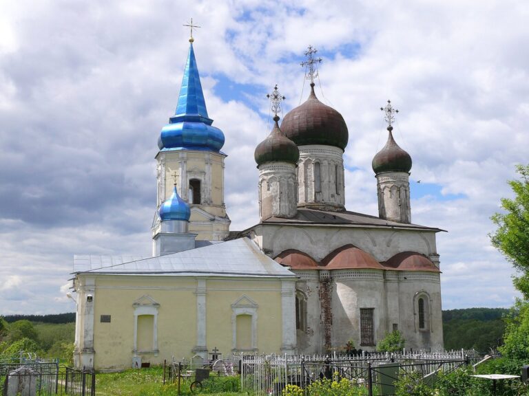
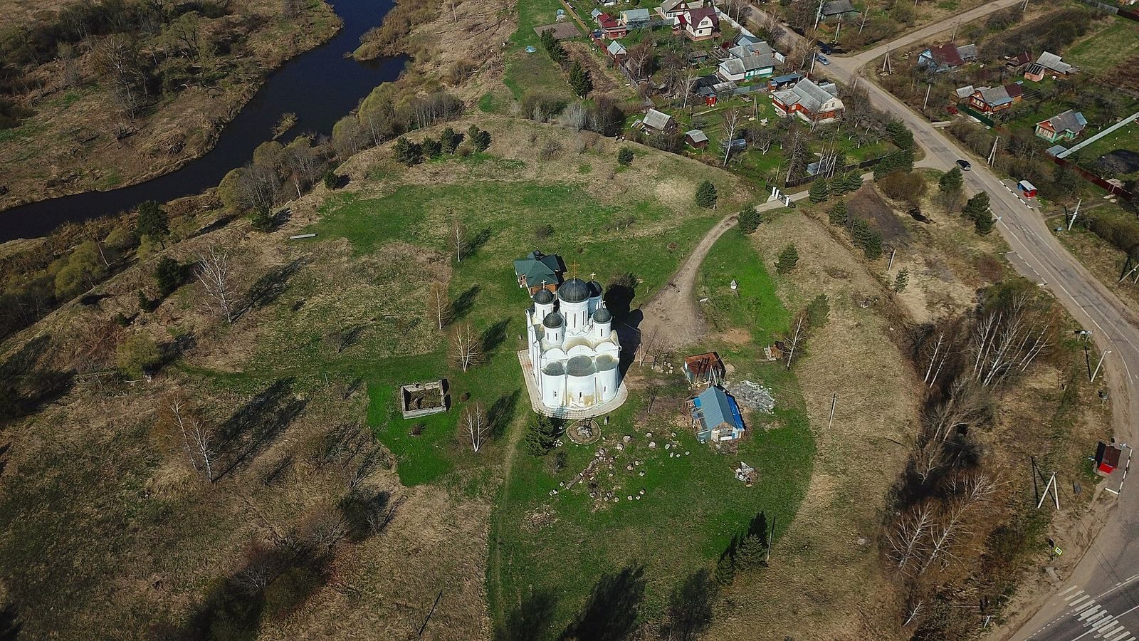
In 1559, a stone Church of the Archangel Michael replaced an older, dilapidated church. It became the tomb of Prince Semyon Ivanovich Mikulinsky, a favorite of Tsar Ivan IV, known as Ivan the Terrible. In 1602, Axel Gyldenstierne, an envoy of the Duke of Holstein, noted that the fortress had fallen into disuse apart from its stone church.
The town was ultimately destroyed during the Time of Troubles, a period of political and dynastic crisis in Russia in the late 16th and early 17th centuries. Afterward, it came to be called Mikulino-Gorodishche. The hillfort is designated a cultural heritage site of federal significance in Russia.
Remains
Fortified enclosure
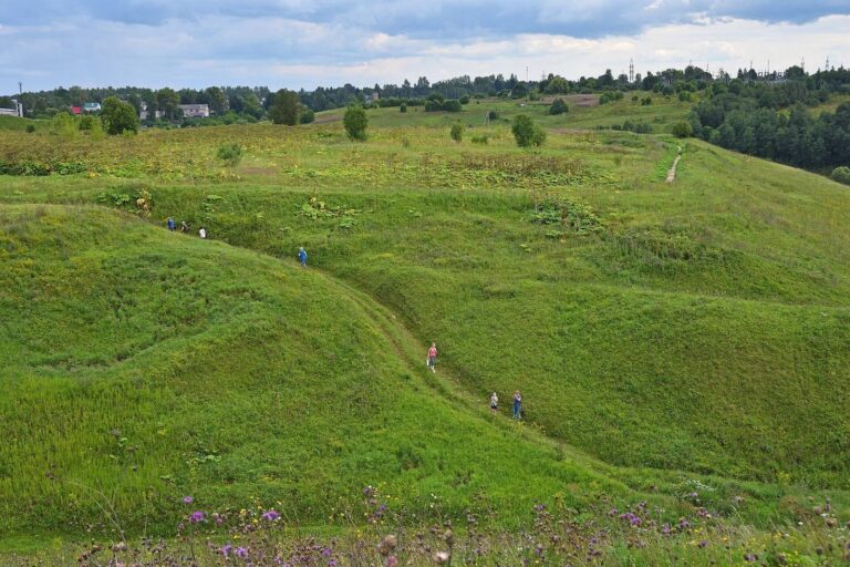
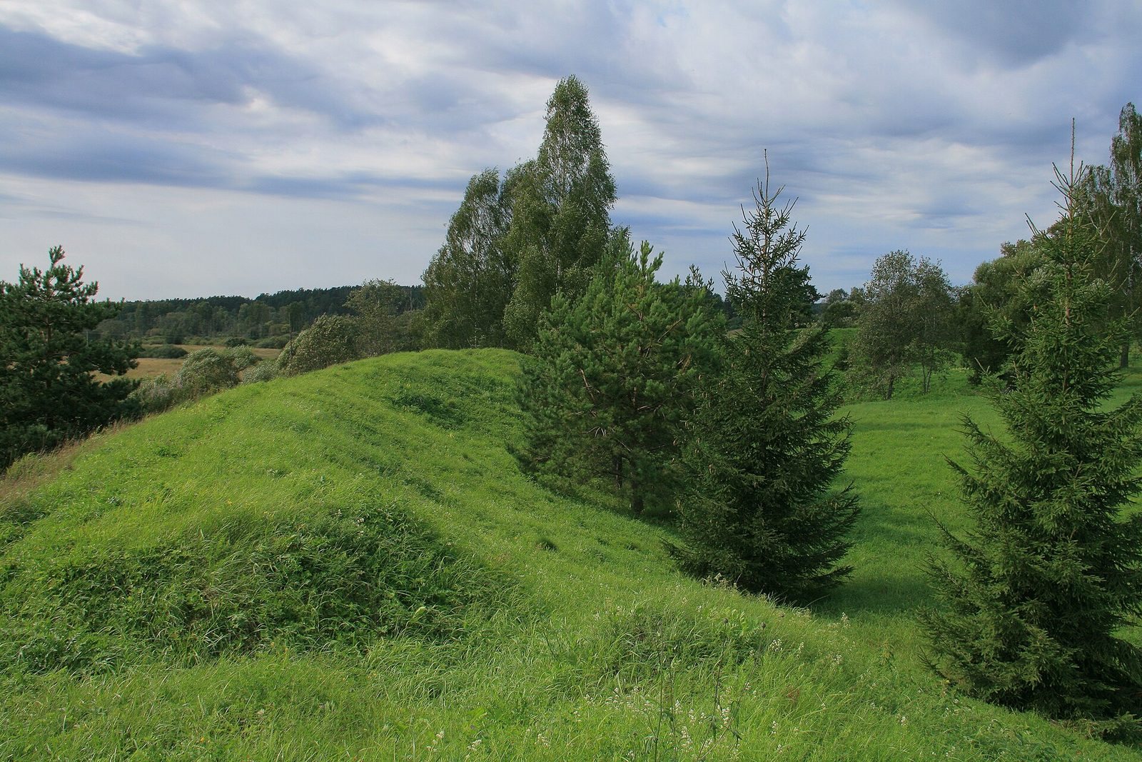
The former wooden kremlin, a fortified central enclosure, had an oval plan and stood beside the Shosha River. An earth rampart enclosed the site, with a ditch on its outer side; a wooden wall with towers stood along the rampart. This arrangement formed the hillfort’s principal defenses.
The enclosure measured about 150 by 180 metres and covered approximately 5.5 hectares. Its rampart extended for around 600 metres, and three gates faced north, east, and south. The earthworks survive in good condition and reach up to 5.5 metres high. Cultural deposits date to the 12th–13th and 14th–16th centuries.
Settlement and church
An extensive unfortified settlement adjoins the hillfort. Within the former enclosure, the stone Church of the Archangel Michael survives as a prominent part of the site’s historic fabric.