Akra, Crimea: A Greek Port City of the Bosporan Kingdom
Site at a Glance
- Popularity
- High
- Country
- Ukraine
- Primary era
- Classical
- Eras represented
- Iron Age, Classical
- Civilizations
- Ancient Greek, Bosporan Kingdom
- Site type
- City
On this page16 sections
History
Akra was a small Greek port city on the Kerch Strait in Ukraine, near modern Naberezhne. Founded in the late sixth century BCE, it remained occupied until the fourth century CE as part of the Bosporan Kingdom, an ancient Greek-led state centered around the strait. Akra served as an anchorage and trading place, and its foundation is attributed to either Nymphaeum or Panticapaeum, both Greek cities.
Foundation and maritime role
Akra’s position beside the strait made it useful to ships and trade. Ancient writers described it variously as a city, settlement, or village, with particular attention to where it lay. Strabo, a Greek geographer, placed Akra near Korokondame and gave the width of the intervening water as 70 stadia, an ancient Greek measure whose length varied by region. Pliny the Elder, Ptolemy, Stephanus of Byzantium, Pseudo-Arrian, and Aelius Herodian also mentioned the settlement, mainly in geographical descriptions.
Inundation and abandonment
Changing Black Sea water levels gradually flooded parts of Akra. Residents tried to defend the shoreline with a breakwater, a barrier built to reduce wave action, before moving farther inland. They eventually abandoned the city in the fourth century CE.
Rediscovery and archaeological study
Efforts to locate Akra began in the eighteenth century, and the city was twice claimed as a discovery. Ruins found in the early nineteenth century were later identified as Kytai. In 1918, fishermen found an inscribed stone there. Other ruins encountered during the search proved to be Zephyrion.
Investigations in the late 1970s and early 1980s located Akra itself. In 1976, E. A. Molev and N. V. Moleva surveyed the area. A. V. Kulikov and students then found about 150 Bosporan coins, including examples from the fourth century BCE, and shared a plan of the find area with Kerch archaeologists. V. N. Kholodkov led the first excavations in 1982, followed by underwater work directed by K. K. Shilik from 1983 to 1985. Kulikov returned to archaeological work in 1994–1997. A joint project led by V. V. Vakhoneev and S. L. Solovyov has studied the site since 2011. Akra is protected as a cultural-heritage site and is listed in Ukraine as a heritage monument of local significance.
Remains
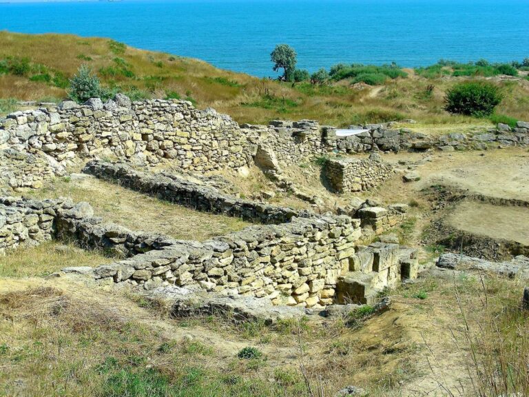
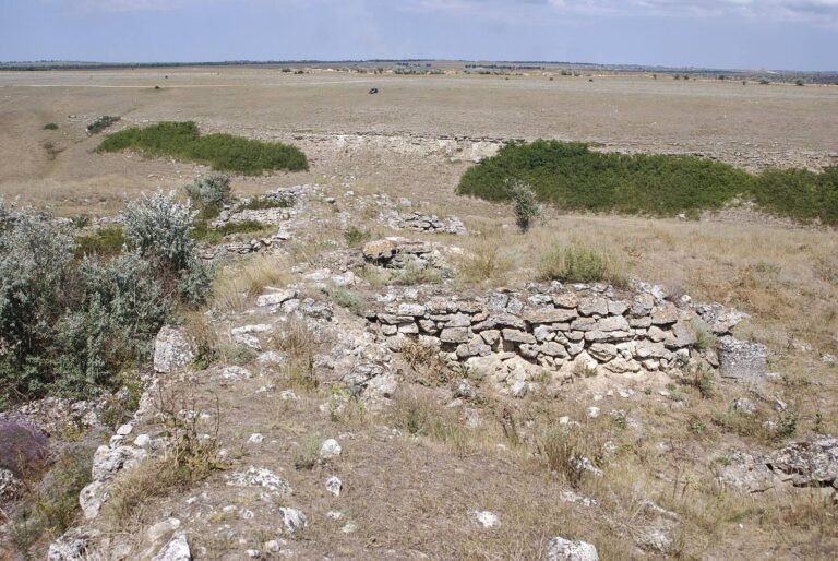
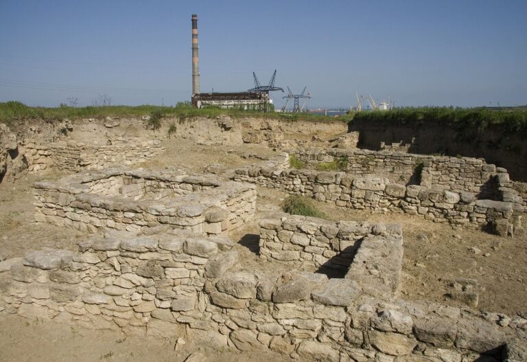
Akra’s remains occupy a spit between Lake Yanysh and the sea, near the Kerch Strait. The settlement stood at the northeastern end of a promontory formed by the strait and the mouth of an ancient, unnamed river. It covered about 3.5–4 hectares, expanding to nearly 6 hectares at the Bosporan state’s height. Most of the site is underwater, while a small western part remains on shore.
Settlement and preservation
The site lies at depths of up to 4 metres, with its harbour extending deeper. Much of the cultural deposit survives in place, and marine sand partly covers buildings. Layers from the Classical era and the early Hellenistic period, which followed Alexander the Great’s conquests, remain intact. Wave action destroyed Roman and Late Hellenistic layers.
Defences and shoreline works
Walls and towers
Limestone defensive walls ran for about 200 metres and were approximately 2.6–3 metres thick, extending as far as 150 metres offshore. An underwater stretch of wall about 30 metres long has been identified. Two square-plan towers were also located, each with sides measuring up to 7 metres.
Barriers against the sea
East of the settlement, a stone ridge and embankments helped protect the city from advancing water. A fragment of a stone breakwater was found about 600 metres from the present shoreline.
Harbour and water installations
Harbour
The harbour lay east of the settlement at depths of up to 7 metres. Its remains include two places where ships could anchor.
Well
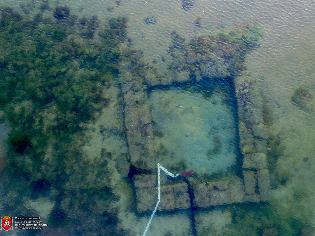
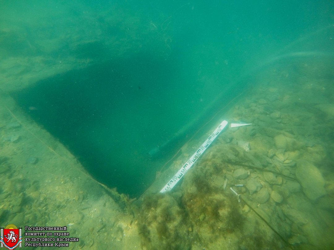
A square underwater well, built of stone with wooden components, lies about 140 metres from shore at a depth of 3 metres. Its wooden fittings are well preserved. Seven amphorae, two-handled vessels used to store or transport goods, from Heraclea Pontica and dating to the fourth century BCE came from the well’s fill. Other finds there include black-glazed pottery, with its dark, glossy coating; part of a lead anchor stock, the crosspiece of an anchor; and wood shaped on a lathe.
Cistern
A stone cistern lies about 300 metres offshore at a depth of 3.5 metres. Its contents included amphorae from Chios and Heraclea Pontica, as well as fourth-century BCE black-figure pottery, in which dark figures were painted on a light surface. Some of the pottery was substantially intact.
Archaeological deposits and finds
Layers and buildings
The surviving deposits preserve evidence from several periods of the city’s occupation. Classical layers and those of the early Hellenistic period remain intact, while waves destroyed Roman and Late Hellenistic layers. Marine sand partly covers buildings, and much of the settlement’s cultural material remains underwater.
Objects from the settlement
Finds include upright stone monuments shaped like human figures, a stamp from a Rhodian amphora, Hellenistic pottery, amphorae, terracotta objects, and gold, silver, and bronze items. Other objects include arrowheads, fibulae (ancient brooches), buckles, and parts of boxes and locks. About 400 Bosporan coins were found at the site between 1981 and 2001.