Lukh Fortress: A Medieval Russian Stronghold
Site at a Glance
- Popularity
- Low
- Country
- Russia
- Primary era
- Medieval
- Eras represented
- Medieval
- Civilizations
- Unclassified
- Site type
- Military
- Remains
- Fort
On this page7 sections
History
The town before the fortress
Lukh Fortress was a timber-and-earth stronghold in present-day Lukh, Russia, probably built no earlier than the late fifteenth century, when the town belonged to the princely Belsky family. The town itself was recorded in 1404 as property held by a metropolitan, a senior bishop in the Orthodox Church.
In 1429, a large Tatar force led by Mahmud sacked Lukh, after which the town was rebuilt. During the Moscow-Kazan War of 1437 to 1445, a conflict between Muscovy and the Kazan Khanate, a state in the Volga region, Kazan Tatar forces attacked Lukh again in the winter of 1445. The fortress is thought to have been established later, during the Belskys’ ownership of the town.
Military decline and destruction
Russian forces captured Kazan in 1552, and Lukh subsequently lost much of its military importance. In 1608 and 1609, the fortress changed hands repeatedly amid fighting between forces associated with False Dmitry II, a claimant to the Russian throne during the political upheaval known as the Time of Troubles, and the local militia. Lithuanian forces devastated the town in 1618.
By the middle of the seventeenth century, the fortress was unusable. An inventory from 1677 to 1678 described it as completely ruined. Archaeological surveys have since examined the site, which is designated a cultural heritage site of federal significance in Russia.
Remains
The archaeological site lies on a high plateau beside the Lukh River. Its timber-and-earth defenses enclosed the fortress, while the settlement and its churches stood across from it; the fortress interior was initially empty.
Ramparts and ditches
The enclosure formed an irregular quadrilateral measuring 115 by 66 metres. Its earth ramparts extend for 295 metres and stand 4 to 5 metres high, with a trapezoidal cross-section: the base is 20 to 30 metres wide and the crest 5 to 8 metres wide. Within the earth, compartments made of poles joined at interlocking corners formed a supporting timber framework, a technique characteristic of defensive works from the fourteenth to the first half of the fifteenth century.
Ditches 3 to 4 metres deep ran outside the defenses on the north, east, and south. A steep terrace slope protected the west side, and an opening 10 metres wide in the eastern rampart marked the entrance. The enclosure’s geometric plan is unusual for fifteenth-century fortifications and has parallels in seventeenth- and eighteenth-century Siberian fortresses, whose ramparts were generally smaller.
Settlement and churches
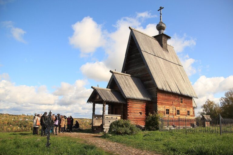
Across from the fortress, the settlement included a market and administrative buildings, as well as enclosed yards used for refuge during sieges. These yards belonged to local nobles and boyar children, members of a hereditary Muscovite service class who were not necessarily the biological sons of boyars. Four wooden churches stood in the settlement. The Assumption Cathedral and the Church of Saints Cosmas and Damian had tall, tapering tent roofs, while St Paraskeva Pyatnitsa and St Nicholas the Wonderworker were simpler buildings formed from rectangular log frames.
Archaeological site today
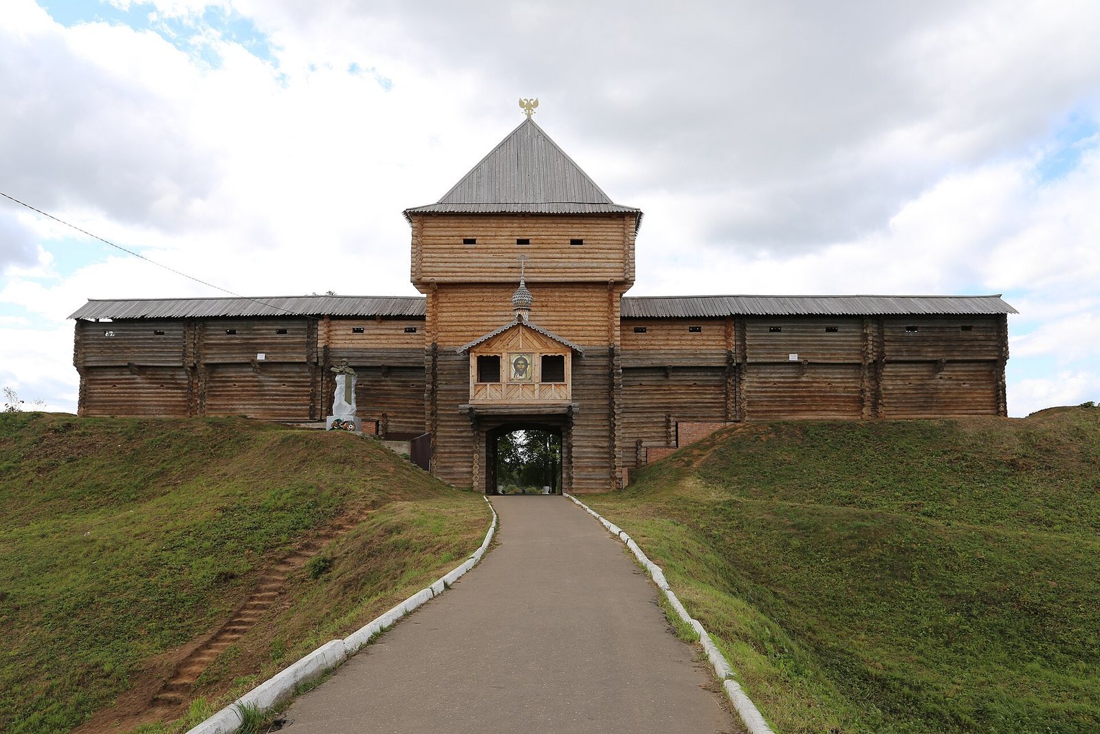
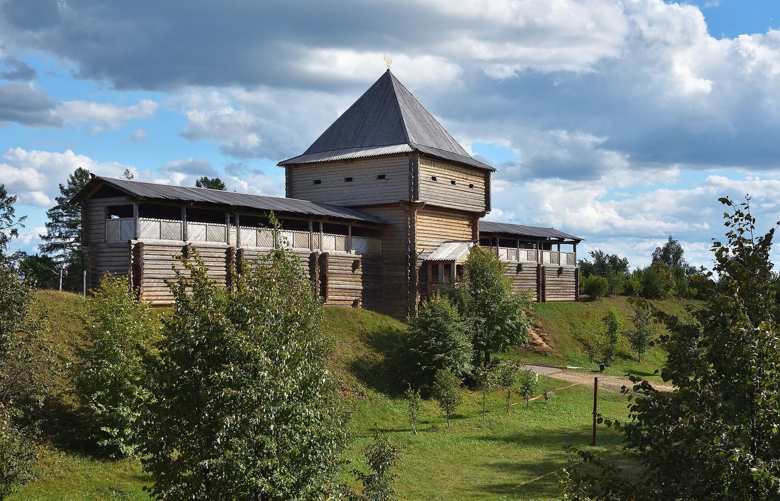
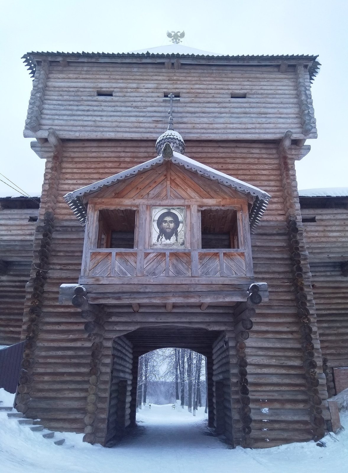
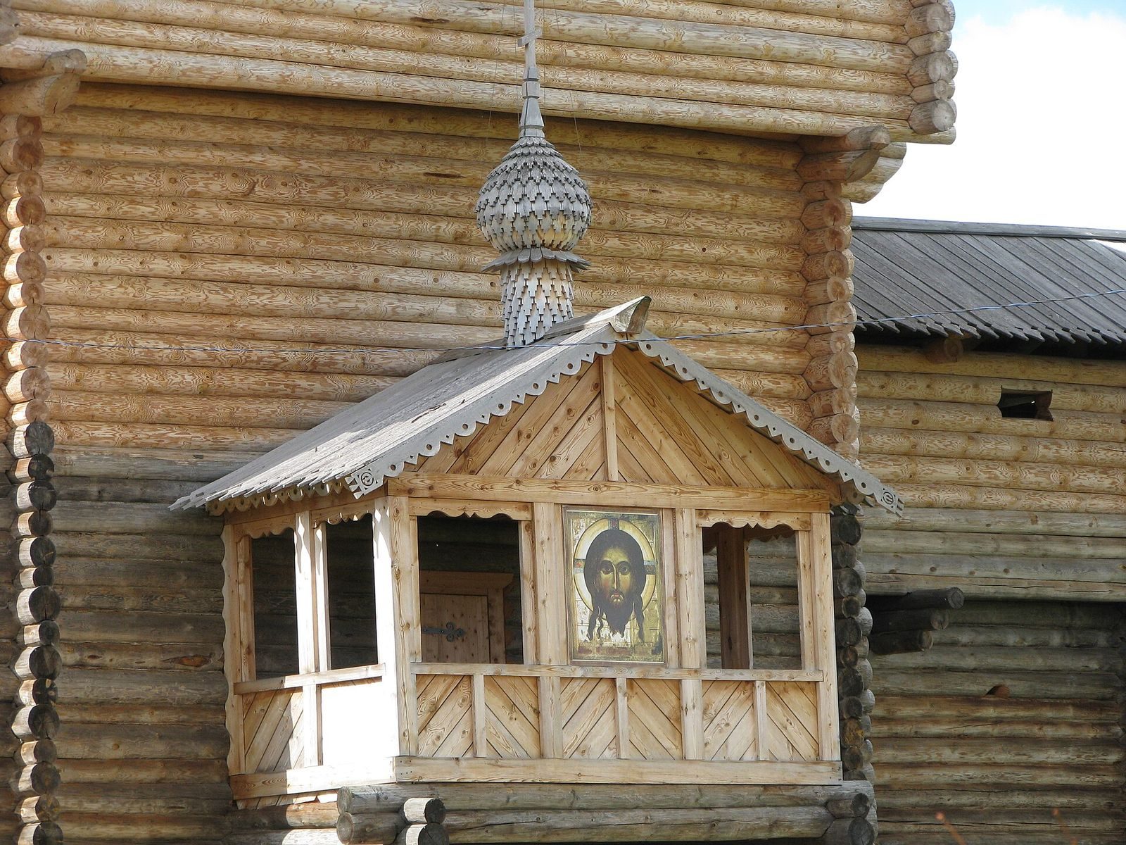
The archaeological site covers 0.6 hectares and is now occupied by a town park. Its accumulated archaeological soil reaches up to 70 centimetres deep. A model gate and entrance tower stand on the rampart, but they do not reproduce the medieval fortifications of Lukh.