Mayatskoye: A Khazar-Period Fortress and Settlement in Russia
Site at a Glance
- Popularity
- Medium
- Country
- Russia
- Primary era
- Medieval
- Eras represented
- Medieval
- Civilizations
- Unclassified
- Site type
- Military
- Remains
- Fort
On this page13 sections
History
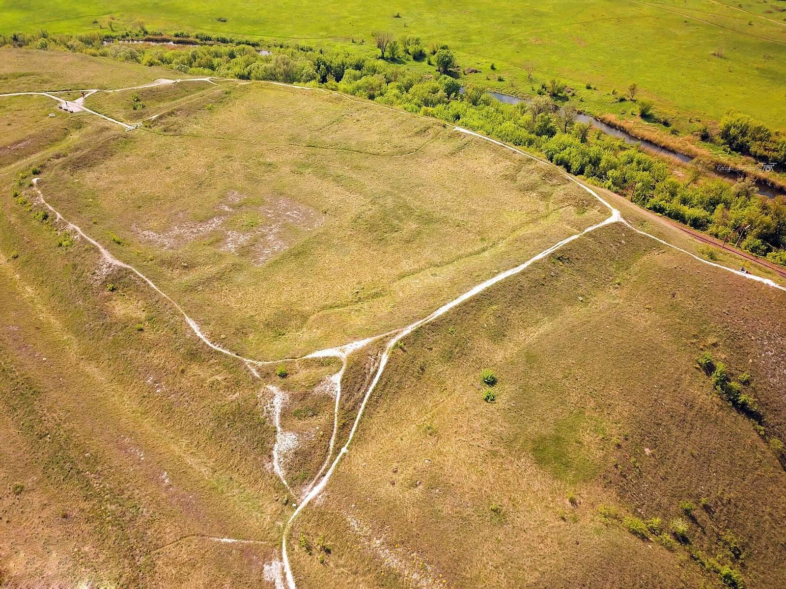
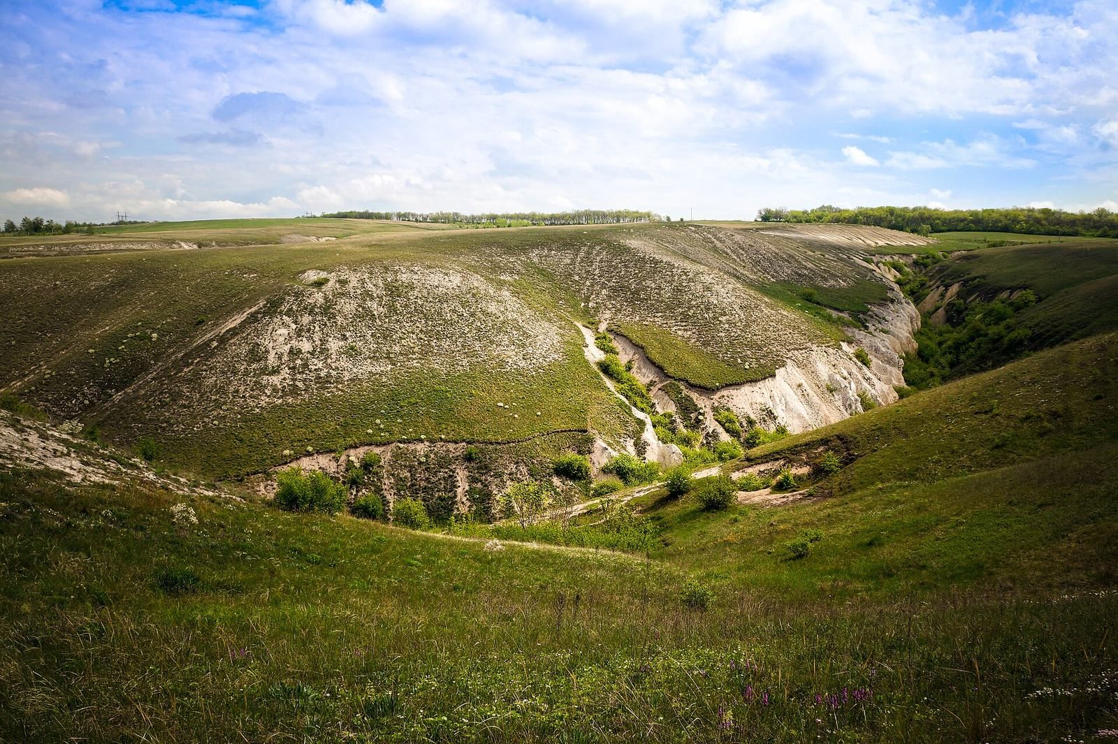
Mayatskoye is an early medieval fortified settlement on a high promontory where the Tikhaya Sosna meets the Don, in Liskinsky District, Voronezh Oblast, Russia. Occupied from the late eighth century, it was associated with the Saltovo-Mayaki culture, an archaeological culture of the Khazar period. Its fortress was built in the ninth century, and the settlement was especially important in the century’s second half and the early tenth century.
A Khazar frontier settlement
The Khazar Khaganate was a medieval polity whose territories included areas around the northern Caucasus and the Caspian and Black Sea regions. Mayatskoye has been characterized as the northernmost site associated with Khazar power and probably lay near a frontier with Slavic groups. One interpretation identifies its fortress as the residence of a Khazar aristocrat sent to govern the frontier. The aristocrat’s family and a group of warriors or personal guards, identified as Bulgars or Khazars, may have lived there.
In a leading interpretation, Mayatskoye belonged to a chain of six similar forts along the boundary between Khazar and Slavic territories. These sites may have collected tribute and served as halting places for trading caravans. Water routes and an overland road along the Don’s right bank connected them, and portions of the road survive. Another interpretation sees the forts as a defensive barrier against Slavic expansion. This view is considered difficult to reconcile with written evidence and with the forts’ small size compared with the settlements they would have needed to protect.
The surrounding settlement was predominantly Alan, a people of Iranian linguistic heritage, according to anthropological interpretations. Evidence also points to steppe groups identified as Bulgars or Khazars. Alan warriors may have lived in groups of several dozen and served on the frontier under Khazar commanders. The population’s varied burial and ritual practices have been interpreted as evidence of interaction among these communities.
Cultural exchange and religious practice
Burial customs offer one indication of contact between populations. Circular pits containing human and animal burials, considered unusual for the Alans, occur in the settlement. A comparable and more developed practice at Sarkel dates to around the 830s–850s. Shrines with a square-within-a-square plan appeared among the Alans alongside changes in burial customs. Shared practices of fire veneration and worship of the sun and sky have been interpreted as signs of religious similarities among Alans, Bulgars, and Khazars.
One interpretation connects the contrast between the Khazar aristocrat’s fortress and the mainly Alan settlement with a ninth-century Khazar concept of a cosmos divided into two poles. Finds from Mayatskoye also point to cultural exchange across the Don region and the Khazar polity, through which trade routes ran. The site’s name, paired with that of Verkhnii Saltiv, forms part of the name Saltovo-Mayaki.
Abandonment and later history
Mayatskoye ceased to be occupied in the first half of the tenth century, as the Khazar Khaganate declined and Pecheneg power expanded across the steppe. Pecheneg expansion cut the area off from the khaganate’s southern territories, and the surrounding steppe became pastureland.
The settlement appears in a 1648 building register for Korotoyak under the name “Mayatskoye old fortified settlement.” The origin of the name is uncertain and it is not preserved in local traditions. In the second half of the seventeenth century, a men’s Dormition Cave Monastery was founded on the promontory, using some stone blocks from the settlement walls.
Objects from a catacomb burial entered scholarly circulation in 1890. Early local investigations concentrated on burials, followed by excavations led by archaeologists A. Milyutin in 1906 and N. Makarenko in 1908–1909. A joint Soviet, Bulgarian, and Hungarian expedition began work in 1975 and returned for further excavations from 1977 to 1982 under S. A. Pletneva; the burial ground was found in 1975. Excavations resumed in 2008 under an expedition from Belgorod University. Mayatskoye is a federal cultural heritage site under a 1995 presidential decree and lies within the Divnogorye museum-reserve area.
Remains
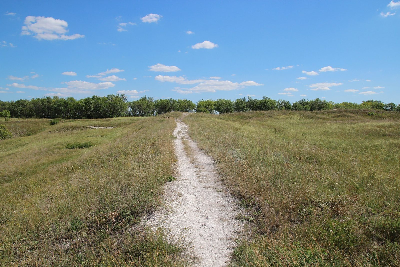
The site occupies a promontory above the confluence of the Tikhaya Sosna and Don rivers. Its roughly 30-hectare settlement includes a fortress, an adjacent burial ground, and pottery workshops. The fortress covers about 1.1 hectares, while the cemetery extends across roughly 3 hectares.
Fortress and settlement
Fortress walls and construction
The fortress was built from clay and stone, materials readily available in an area without forest. Its walls, made of chalk blocks, stood about 1.5–2 metres high, and some blocks carry inscriptions. The structure is also described as adobe, meaning built with sun-dried mud bricks. Builders formed an island-like platform for its construction, a method compared with work at Sarkel and Semikarakory on the Lower Don and at another fortress on the Tikhaya Sosna. The fortress’s building traditions have been linked to the Khaganate’s central region, possibly involving migrant builders familiar with construction in Transcaucasia, Crimea, and Danube Bulgaria.
Settlement and pottery workshops
About 6,000 square metres of the settlement have been excavated, revealing remains of pottery workshops. Plowing in the 1960s disturbed part of the eastern area. The fortress has been excavated across roughly 30 percent of its enclosed area. Only short stretches of its wall circuit have been uncovered; most of the circuit remains beneath earthen ramparts.
Burial ground
At least 150 burial sites have been identified across the cemetery. Excavations cover 2,874 square metres, about one-tenth of its area. Pits marking former buildings have been identified in the eastern part of the site affected by plowing.
Shrines and burial features
The shrines have a square-within-a-square layout and a hearth at the centre. Within the settlement, circular pits contain human and animal burials. These features provide physical evidence of the ritual practices associated with the site’s inhabitants.
Inscriptions and finds
Writing on stone and pottery
Runic, or rune-like, inscriptions occur on fortress wall blocks. They are classified as “Don” script, a form of writing that remains undeciphered. I. L. Kyzlasov regarded the inscriptions as examples of Alan-Bulgar writing, while Pletneva suggested that Khazars may also have used it. Hungarian scholar Gábor Hosszú has interpreted one inscription as Common Turkic. His reading refers to the “As country” and “our land of the Six Savirs,” which he connects with Khazar rule between the Don and Dnieper. It also names a building as the “mansion of Onagh Tegin,” with Ud Didü On as its builder and Ineg as its author. Tegin was a Turkic princely title. An inscribed amphora fragment found in 1976 has been associated with “Kuban” script, a scholarly label for another runiform writing tradition. A related form appears on a Sogdian-made silver vessel from Sed’yar.
Objects and human remains
Finds include Byzantine-made beads and amphorae, as well as cooking pottery containing marine sand that has been linked to steppe groups. Human remains show skull proportions classified as brachycranial, meaning relatively broad, and dolichocranial, meaning relatively long. The broader proportions are especially noted among women in the cemetery and men buried in the settlement outside the fortress; longer skull proportions occur more often among cemetery men and settlement women. Intermediate, or mesocranial, skull proportions have been interpreted as evidence of intermixture between the Don region’s principal population groups. These classifications describe skull shape and do not by themselves establish ethnicity.