Kyz-Kule: A Medieval Castle-Fortress in Ukraine
Site at a Glance
- Popularity
- Low
- Country
- Ukraine
- Primary era
- Medieval
- Eras represented
- Medieval
- Civilizations
- Byzantine
- Site type
- Military
- Remains
- Castle
On this page9 sections
History
Kyz-Kule, also called Cherkes-Kermen and rendered in English as “Maiden Tower,” is a medieval castle-fortress in Ukraine, generally dated to the first half of the fifteenth century. Proposed dates and accounts of who built it differ, reflecting competing interpretations of the fortress’s origins.
Dating and proposed builders
The prevailing dating places construction in the first half of the fifteenth century. Earlier proposals range widely: G. E. Karaulov assigned the fortress to the sixth through thirteenth centuries and proposed Byzantine builders, while E. V. Weimarn placed it between the eleventh and fourteenth centuries. N. I. Repnikov suggested the fourteenth or fifteenth century, and Usein Bodaninsky proposed the tenth.
Theories about its builders also diverge. Peter Köppen, following Martin Bronevsky, considered it a new castle built by the Turks. Peter Pallas and Frédéric Dubois de Montpéreux connected its construction with the Circassians, a people of the northwestern Caucasus, drawing on local tradition. Köppen also proposed that the name Cherkes-Kermen came from a Circassian called Kutibey or Kutlug-bey, whose name appears in Tatar treaties with Caffa, a Genoese port and trading center, in 1381 and 1387.
Early records and archaeological work
Pallas first noted the fortress in travel writings from 1793–1794. He also reported that Cherkes-Kermen was the name of a nearby village, where Greeks had lived earlier and Tatars lived at the time of his visit. The village in the ravine may once have belonged to the owners of Kyz-Kule.
In 1821, E. E. Keller and architect E. F. Pascal made the first survey of the surviving architecture. Köppen published a brief description in 1837. Bodaninsky excavated the fortress in 1933, uncovering a Christian chapel and recovering archaeological material. Kyz-Kule is recognized as a federal-level cultural heritage site in Russia and a national-level heritage monument in Ukraine.
Remains
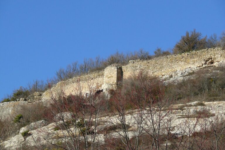
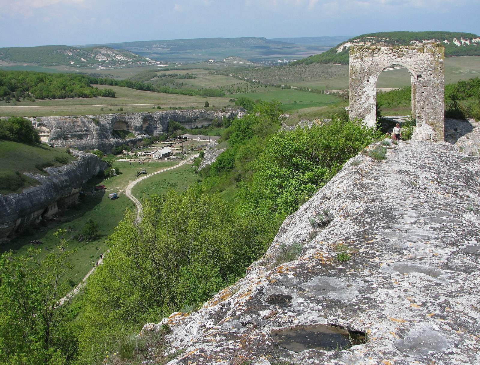
The fortified headland occupies the northern end of the Topshana plateau, northwest of Eski-Kermen. A narrow strip of land joins it to the plateau, while cliffs 15–20 metres high border its other sides. The headland extends about 225 metres from south to north and 75 metres from east to west, enclosing 1.38 hectares. Its surviving features include a rubble-built gate tower, defenses and approaches cut into bedrock, and religious buildings.
Gate tower
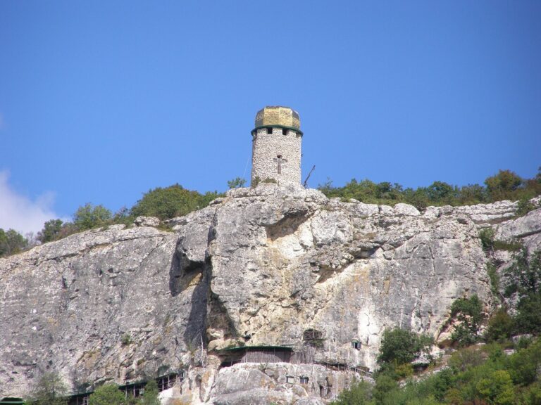
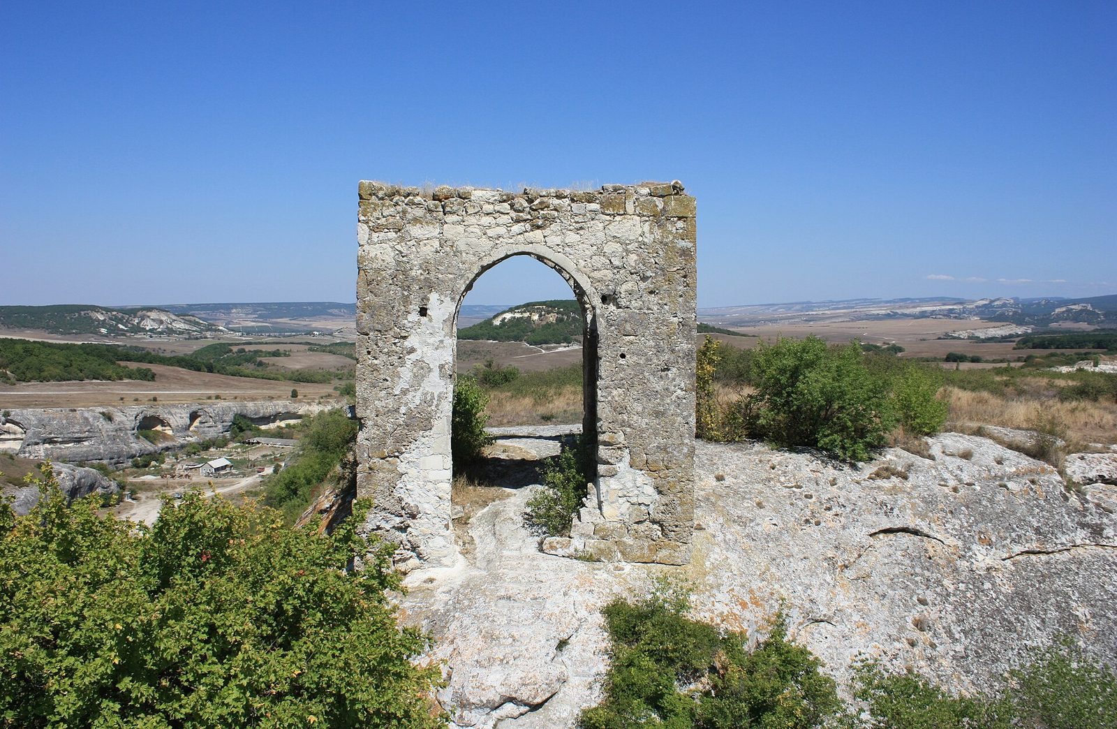
The principal surviving structure is a gate tower with a base measuring 6.2 by 6.3 metres. Its square interior has sides of 3.90 metres, and its walls are 1.0–1.1 metres thick. The tower stands 7.80 metres high today. Builders used mainly irregular rubble stone, with roughly shaped stones on the faces, set in lime mortar mixed with crushed ceramic.
Approaches and defenses
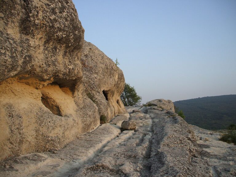
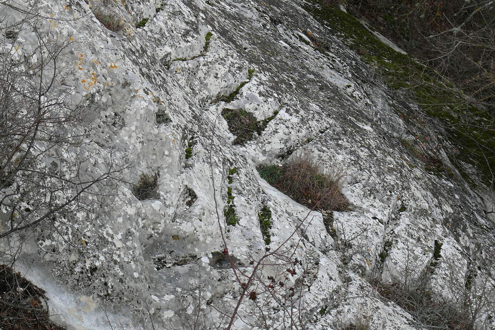
A shallow ditch in front of the tower was crossed by a drawbridge. Both the ditch and the road approaching from the south were cut into the rock. A path from the ravine west of the fortress reaches the tower by steps carved into the stone. On the northern side, a wall 13 metres long and 1.1–1.2 metres thick once blocked access; it is now almost entirely reduced to its foundations.
Christian chapel
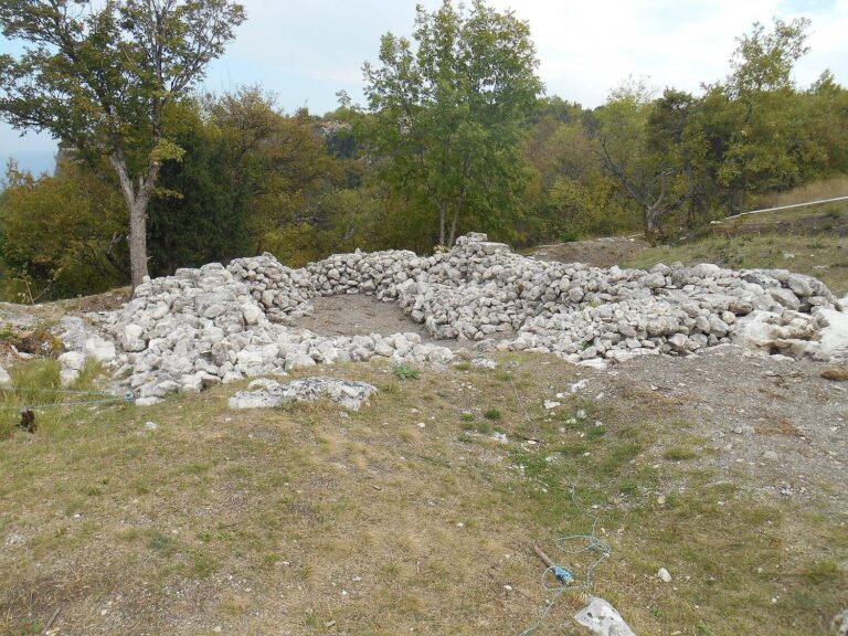
The chapel measures 7.5 by 4.5 metres and was built in the fifteenth century. It had a single apse, a recessed area that could contain an altar, and included tombs.
Temple of the Donors
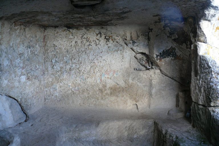
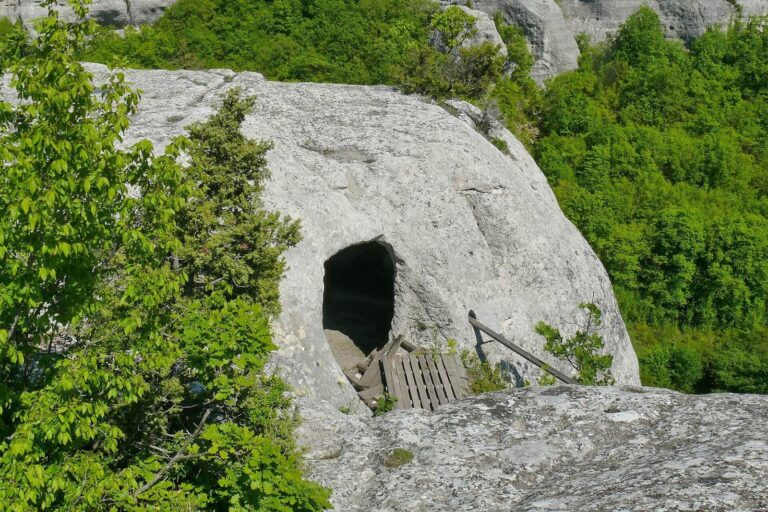
At the ravine’s southern edge, a small church was cut into a cave. Known as the Temple of the Donors, it has an altar formed as a raised stone platform. Surviving fresco fragments date from the twelfth to fourteenth centuries. They depict a man and a woman, identified as local princes who endowed the church, on the central wall; Christ appears near the altar, and other images occupy the ceiling.
Ravine archaeology
Traces of Stone Age camps have been found at the entrance to the ravine west of the fortress and in its western branch. A medieval settlement also occupied the ravine.