Suiren Fortress: A Byzantine Frontier Post and Medieval Castle in Ukraine
Site at a Glance
- Popularity
- Medium
- Country
- Ukraine
- Primary era
- Medieval
- Eras represented
- Medieval
- Civilizations
- Byzantine
- Site type
- Military
- Remains
- Fort
On this page9 sections
History
Suiren Fortress is a Byzantine and medieval fortification on the rocky Kule-Burun promontory above the Belbek valley in Ukraine. The Byzantine administration is generally credited with establishing it in the late sixth century, probably around 575–576, after the reign of Emperor Justinian I. The post was intended to watch the valley and routes leading north and northeast toward Mangup, and to track movements in the area, including those of the Turkic Khaganate, a major steppe polity ruled by a khagan.
Byzantine frontier post
The fortress’s position supported reconnaissance and surveillance of the Belbek canyon. The date of its principal defensive wall is uncertain: it may have been built around the turn of the sixth and seventh centuries or instead in the middle of the ninth century. The enclosure’s use during the Byzantine period is also unclear. Fortifications of this kind could house a garrison and offer nearby people refuge during wartime.
The Principality of Theodoro
In the later medieval period, Suiren became part of the defensive system of the Principality of Theodoro, a polity in southwestern Crimea associated with Gothic communities. It served as a feudal castle, and at least part of its enclosed headland was built up during Theodoro’s rule. A further defensive line was probably added in the fourteenth or fifteenth century under the principality.
Decline and destruction
The settlement declined toward the end of the fourteenth century, possibly following an invasion by Timur, the Central Asian conqueror also known as Tamerlane. The fortress was destroyed in 1475 during the Turkish conquest of Theodoro. Settlement at the site continued for roughly another century before disappearing.
Names and later accounts
Older forms of the fortress’s name include Skivarin and Scivarin; Suiren is a later alteration. Proposed explanations for the older name connect it with a Germanic word for rock or stone, a Proto-Germanic word for magpie, or the meaning sharp spear. The Crimean Tatar form Süyren Qulle includes Qulle, meaning tower. In sixteenth-century memoirs, Baron Busbecq recalled that a Goth, a member of an East Germanic people, and a Greek from Crimea whom he met in Constantinople described Mangup and Scivarin as the principal centers of Mountain Taurica, the mountainous region of Crimea. The archaeological complex has national cultural-heritage status in Ukraine and federal cultural-heritage status in Russia.
Remains
Site and principal defenses
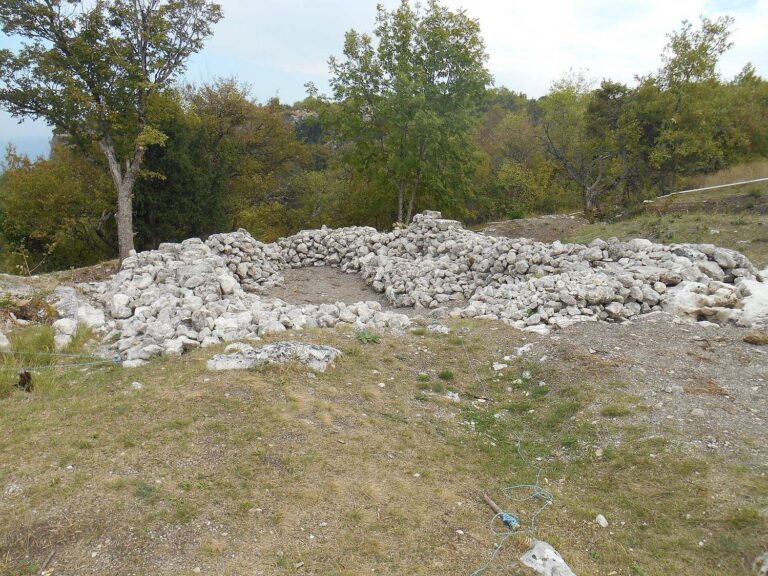
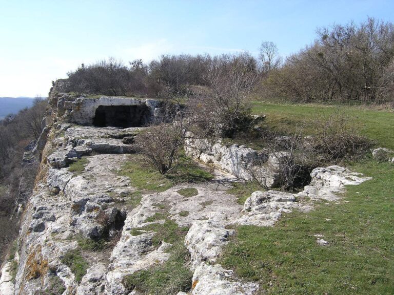
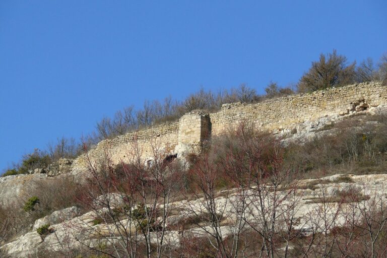
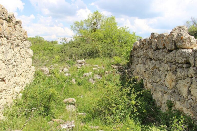
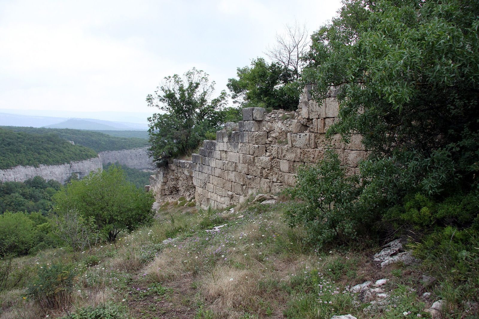
The fortress occupies the end of the 1.7-hectare rocky Kule-Burun promontory, where high cliffs border the headland above the Belbek valley. Its main defenses cross the promontory from cliff to cliff, restricting access. They consist of a circular tower and two curtain-wall sections, defensive walls joining stronger points in a fortification. The wall is about 2.5 metres thick and roughly 110 metres long, though estimates range from 94 to 110 metres; its stated height is around 4–5 metres. The position overlooks the Belbek Gates pass, neighboring rocky promontories, and the canyon south toward the Main Range of the Crimean Mountains. The cave monastery Chelter-Koba lies on a nearby promontory. Some researchers compare the outline of the walls and central tower to a large bird, with the walls as wings and the tower as its head and beak. The fortress survives in ruins.
Circular tower and chapel
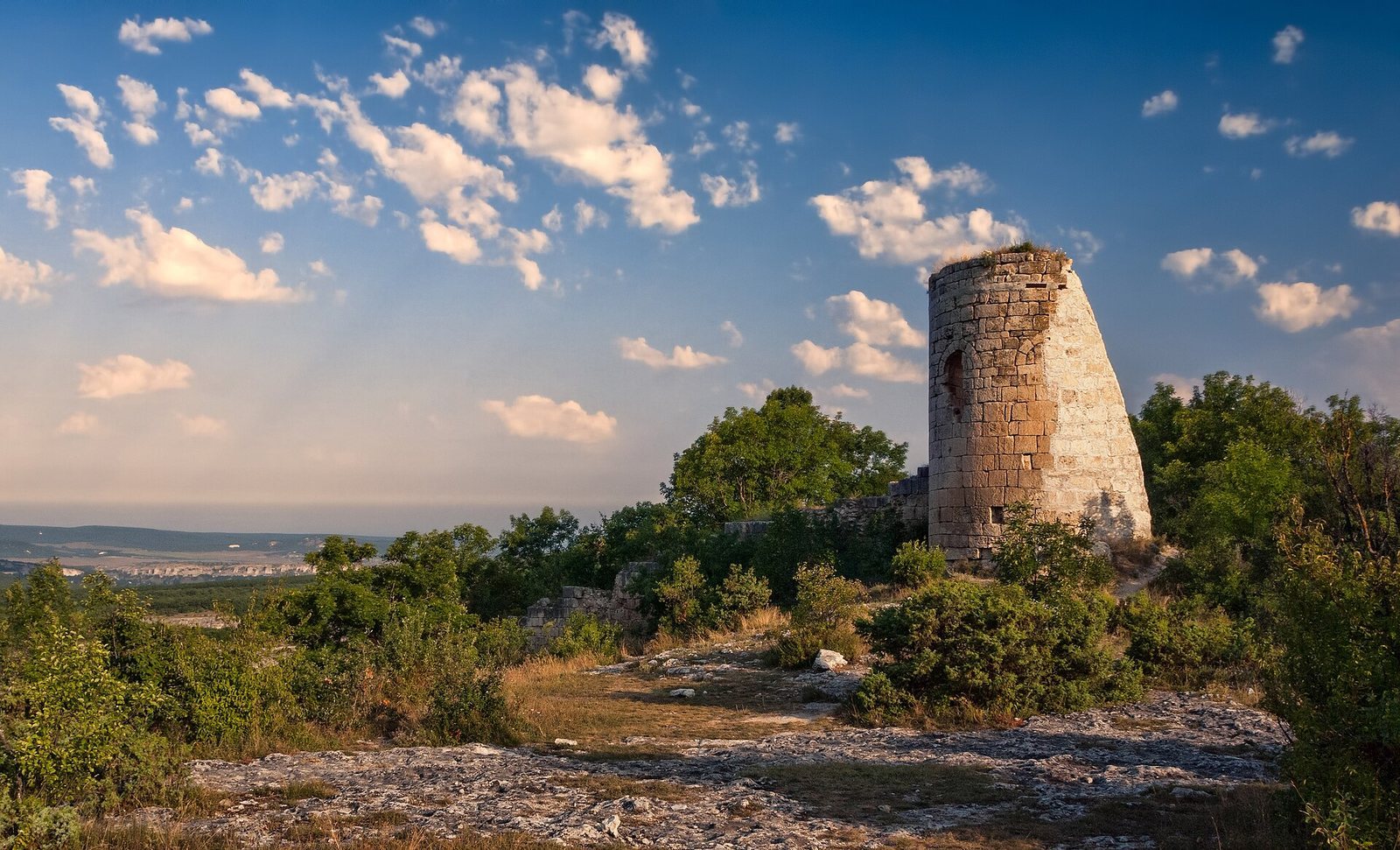
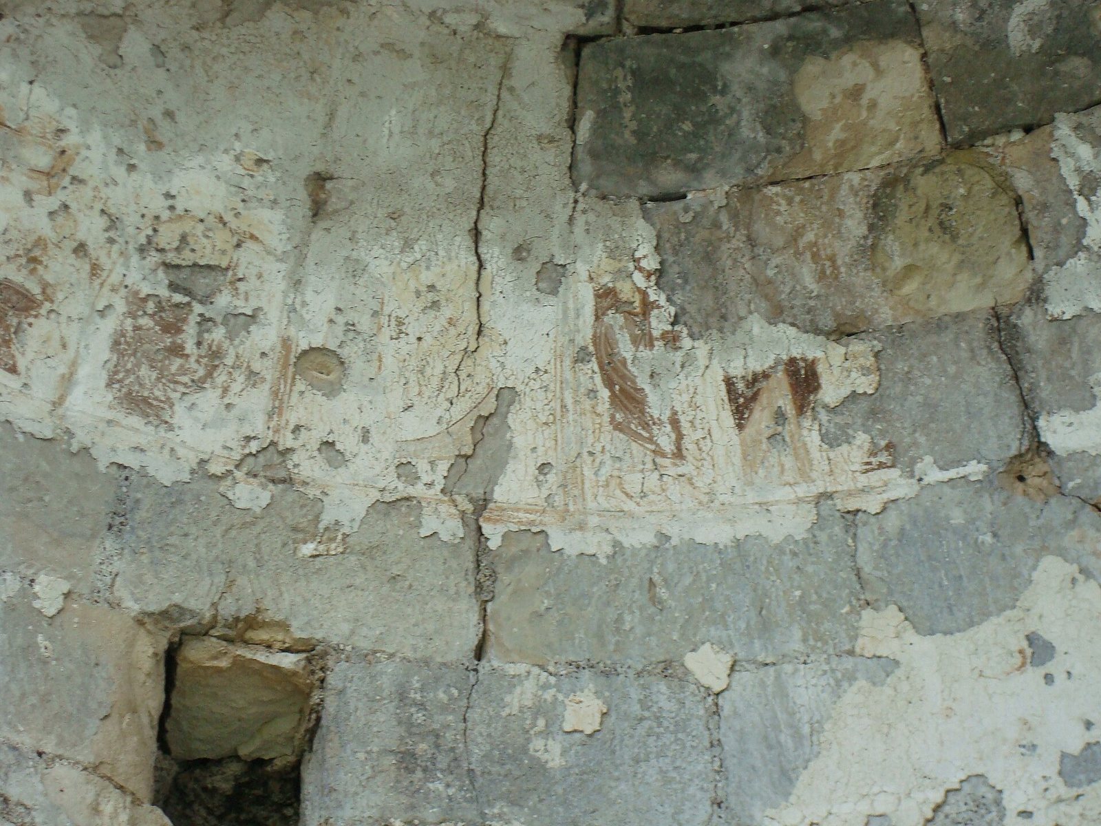
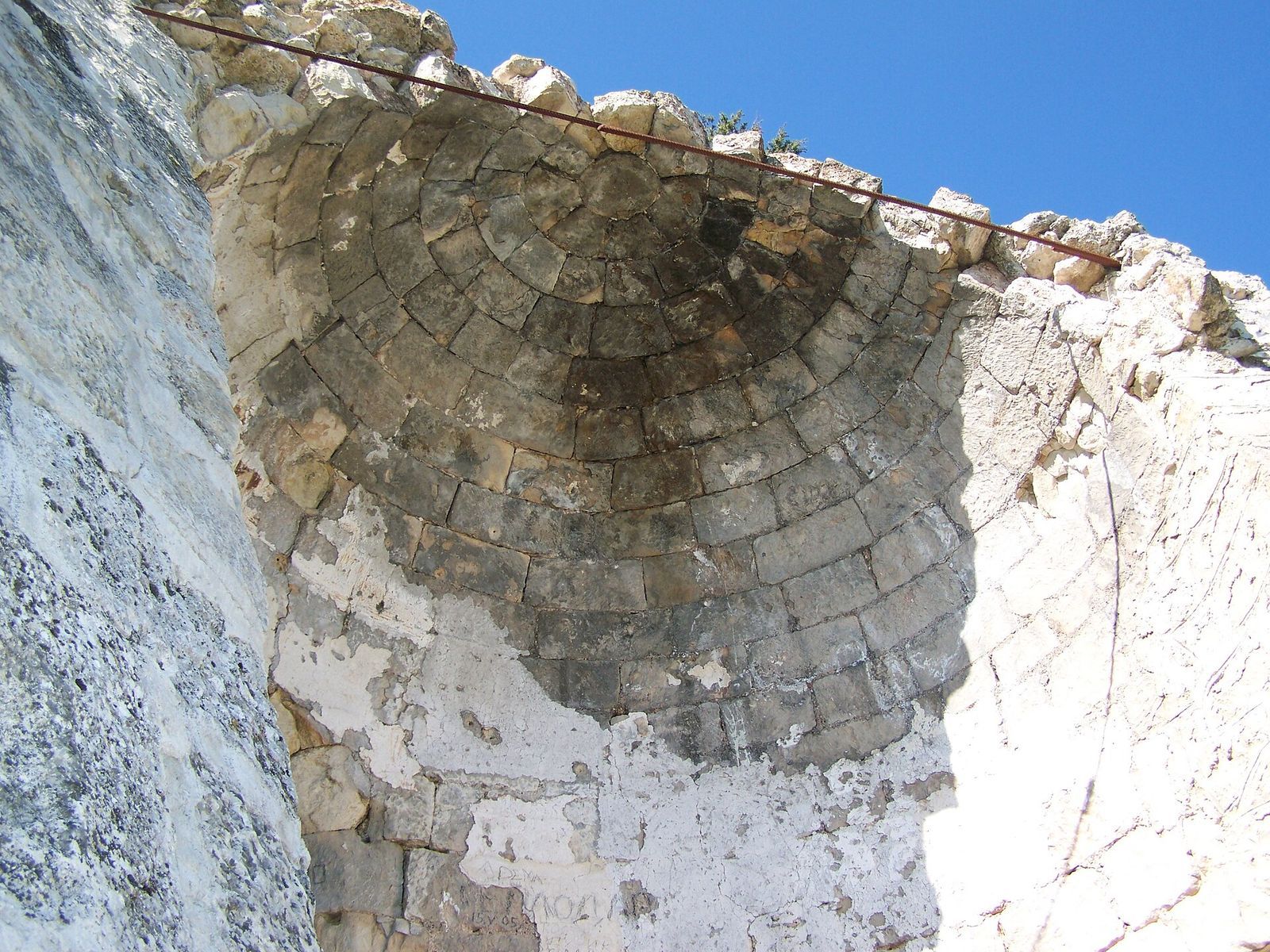
The two-storey circular tower, built from large limestone blocks, is about 8 metres across and 10 metres high. Its eastern entrance arch has collapsed. A small western secondary doorway served as a sally port, an exit defenders could use to make sudden sorties. Firing openings are found in the wall and in the tower’s lower level. The upper storey may have held an Eastern Orthodox chapel. Frescoes decorated its walls and dome; traces dated to the thirteenth or fourteenth century remain on the surviving domed ceiling, and remnants of the paintings were still visible in the nineteenth century.
Outer wall and seal
A second defensive wall crosses the promontory about 300 metres in front of the principal line. It measures 155 metres long and 2.2 metres thick. Its original height is unknown, while surviving sections reach about 1.5 metres. A seal bearing the name of Byzantine official Theophylact was found among the fortress ruins. The seal gives his title as hypatos, a Byzantine title first associated with the consulship and later used as an official or honorific rank; it provides evidence for the fortress’s early dating.