Cossack Fortress in Pereiaslav-Khmelnytskyi: A Ukrainian Defensive Stronghold
Site at a Glance
- Rating
- 4.7
- Popularity
- Low
- Country
- Ukraine
- Primary era
- Early Modern
- External website
- Open
- Eras represented
- Medieval, Early Modern
- Civilizations
- Kievan Rus, Polish–Lithuanian Commonwealth, Russian
- Site type
- Military
- Remains
- Citadel
On this page9 sections
History
The Cossack fortress in Pereiaslav-Khmelnytskyi was a defensive stronghold in Pereiaslav, Ukraine. Its castle was built in 1585 on the site of an earlier fortified settlement, and the fortress later served a city regarded as the principal Cossack center on the Dnieper’s left bank.
Medieval settlement and principality
Prince Vladimir I the Great established the earlier settlement’s defenses to protect the southern part of his principality from incursions from the steppe. From 1054 to 1239, Pereiaslav was the capital of an independent principality in the medieval world of Kyivan Rus. Its rulers included Vsevolod I Yaroslavich, son of Yaroslav I the Wise, and Vladimir Monomakh. The principality and settlement fell during the Tatar invasion of 1239.
The Cossack castle and sieges
In 1585, with the approval of King Stephen Báthory of Poland, a castle was built on the former settlement’s site. Two hundred Cossacks, members of military communities prominent on the eastern European frontier, served there. During the Kosiński uprising, a Cossack revolt, Cossacks later burned the city and its castle.
In 1661–1662, left-bank Cossacks under Yakim Somko and a garrison of tsarist troops commanded by Vasily Volkonsky-Verigin resisted two sieges. Their attackers were right-bank Cossacks led by Yuri Khmelnytsky and Crimean Tatars, a Turkic people whose state was based on the Crimean peninsula.
State fortress and decline
Following Russian ruler Peter I’s military and administrative reforms of 1717–1720, Pereiaslav was designated one of Ukraine’s four most important state fortresses. Reconstruction work was under way in 1739, and the fortress was rebuilt again after 1740. Its formal status as a fortress ended in 1794. During the city’s early nineteenth-century replanning in a regular classical style, parts of the remaining defenses were demolished.
Remains
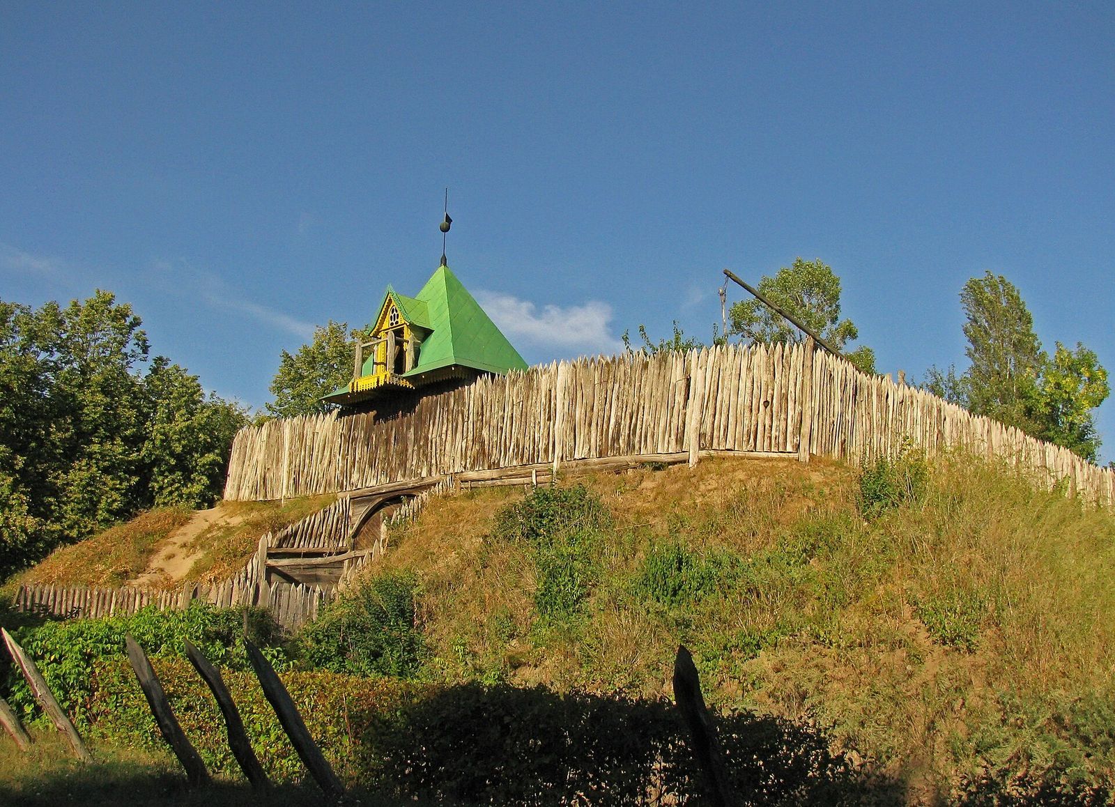
The surviving remains are associated with the former castle’s earthwork defenses. The larger fortress occupied a triangular tongue of land at the meeting of the Alta and Trubizh rivers and comprised the castle and a fortified suburb.
Fortress layout and defenses
Castle and fortified suburb
The castle stood on the site of the earlier settlement’s fortified core, while the suburb occupied the former outer fortified area. Damming the rivers near the fortress created a large pond that added to its defenses. The earlier settlement’s fortifications were made of timber and earth.
Gates, walls, and ramparts
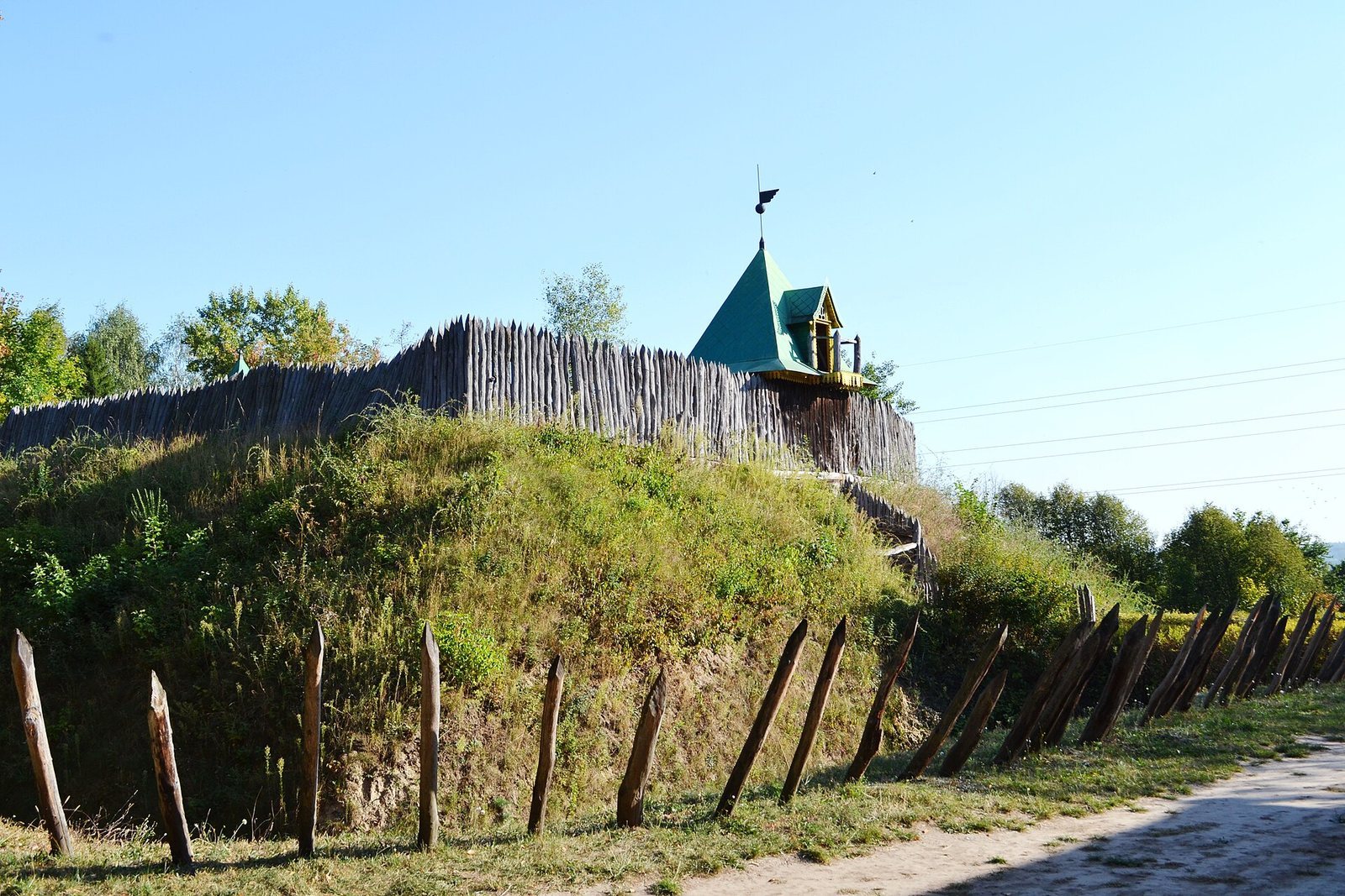
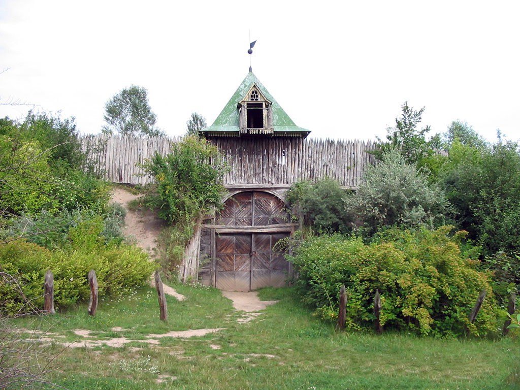
The fortress’s defenses included high earth ramparts, wooden walls, three gate towers, and bridges. Two towers faced the pond; the third faced inland, where a ditch had been dug. A plan dated 1727 depicts the castle’s defensive enclosure with a protective raised wall, a passage along the rampart, ramps, large bastions (projecting platforms for defensive fire), and a ravelin (an outwork placed in front of a fortification) on the landward side. These features reflect the adoption of newer European fortification principles by the early eighteenth century.
Plans and earthen fortifications
A 1739 plan depicts a wider area than the 1727 plan, including both the main fortress, on the former castle site, and the fortified town. It shows the castle with broad ditches and more regularly arranged bastions. Its defensive enclosure had an earth rampart, a protective raised wall, and a rampart walk. A ditch ran along the landward side between the Alta and Trubizh, with a barrier of projecting wooden stakes on its outer face. The reconstruction after 1740 made the fortress an entirely earthen work organized around bastions. Remnants of the former castle’s earthworks survive as the identified remains of the fortress.