Amelungsburg: A Pre-Roman Iron Age Hillfort in Lower Saxony
Site at a Glance
- Popularity
- Medium
- Country
- Germany
- Primary era
- Iron Age
- Eras represented
- Iron Age, Medieval
- Civilizations
- Unclassified
- Site type
- Military
- Remains
- Fort
On this page12 sections
History
Amelungsburg is a former hillfort on Amelungsberg in the Süntel ridge of Lower Saxony, Germany. Its main rampart, a defensive bank, dates to about 400 BC, during the pre-Roman Iron Age, the period before Roman rule in the region. Construction may have taken as long as six weeks. The fort’s earliest phase of use continued at least until the middle of the 3rd century BC.
Iron Age fortification and later interpretation
Archaeologist Erhard Cosack proposed that Celtic raiders attacked the fort during a later Iron Age phase. He interpreted deliberately buried valuables as evidence that local people had taken refuge at Amelungsburg and hidden their property before an attack. In his view, the people were then carried away and could not return to recover it.
A hoard from Manching, a large fortified settlement, has been cited as a possible clue to the raiders’ identity. Its belt and brooch fragments have forms resembling finds from Amelungsburg and the Barenburg, another hillfort in the Osterwald.
Eighth-century reuse and the conflict of 782
Amelungsburg returned to use in the 8th century. The outer rampart was likely added during Charlemagne’s campaigns against the Saxons, a series of wars waged by the Frankish ruler against Saxon resistance.
In 782, a Saxon force led by Duke Widukind destroyed a Frankish army in the Süntel. The defeat led to the Massacre of Verden, the killing of Saxons following the conflict. Amelungsburg is not generally identified as the battlefield, since relatively few weapons were found there, but it may have formed part of the wider Saxon strategy. Weapons and military equipment from Amelungsburg and the Barenburg have been interpreted as signs that Saxon troops assembled at the two refuge forts. Two chamber graves of mounted warriors found at Sarstedt in 2001 have also been linked to the conflict. Each grave contained a horse and equipment; the men had fatal injuries, including a skull wound and a missing lower leg.
A location sketch of Amelungsburg by German prehistorian and archaeologist Carl Schuchhardt dates to around 1900. Excavations followed in 1954, 1955, and 2005, with extensive surveys by the Lower Saxony State Office for Heritage Conservation around 2005.
Remains
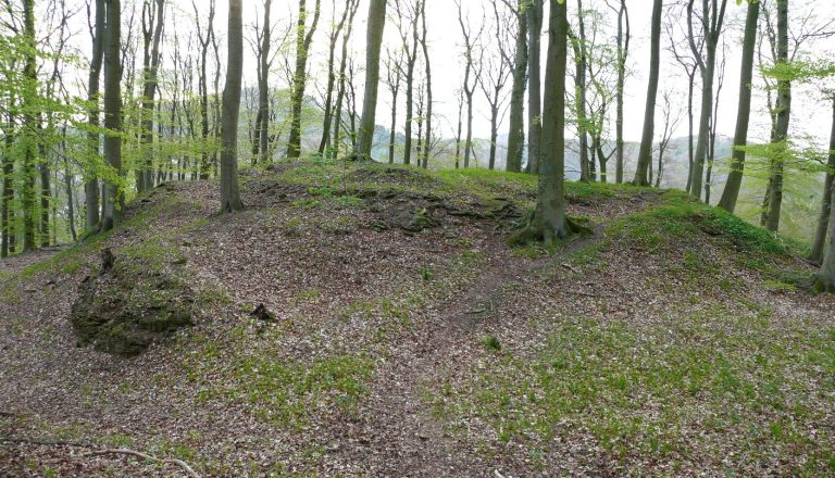
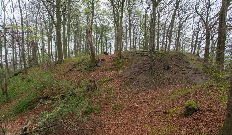
The fort covers about 15 hectares on a plateau approximately 900 metres long and 300 metres wide, at an elevation of 325 metres. The ground drops steeply around it. Its surviving defenses include ramparts, traces of entrances, and an outer defensive line below the plateau.
Fortifications and entrances
Plateau rampart
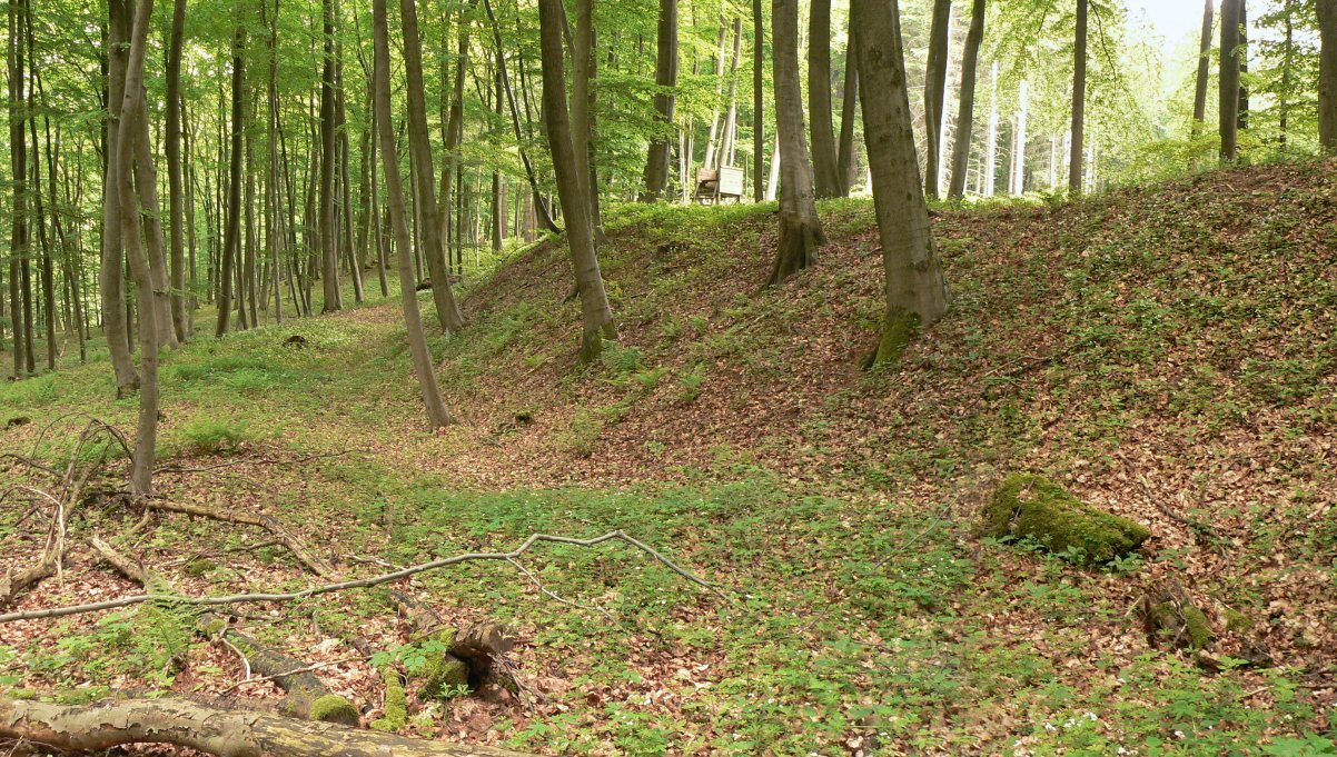
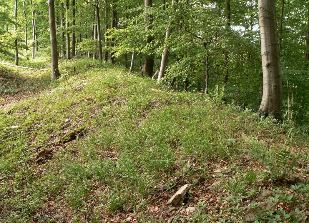
Ramparts run for about 1,000 metres along two sides of the plateau. They now stand around 1.5 metres high and reach up to 4 metres in width; slight traces remain along the other two sides. The defenses combined earthworks and timber posts. Excavations also revealed a dry-stone wall, built without mortar, within the main rampart. It measured about 3 metres across and reached up to 2.5 metres high.
Earlier entrance
Remains of an earlier entrance lie on the southeastern side of the plateau, just under 70 metres west of a present breach beside a forest track.
Outer rampart
Below the fort, a roughly 300-metre-long outer rampart has an entrance and a ditch in front of it. The rampart is about 7 metres wide and up to 2 metres high. The ditch measures about 4 metres across and remains around 1 metre deep.
Archaeological finds
Iron Age material
Animal bones dated to about 400 BC may have been refuse from the workforce that built the fortifications. Around 300 finds belong to the La Tène period, a later Iron Age phase associated with Celtic cultures in central Europe. They include tools, iron parts from wagons, and wheel rims.
Eighth-century activity
Finds from the fort’s interior include two brooches, riding spurs, an axe, a knife, and a spearhead. Anvils, hammers, and bronze scrap indicate metalworking. Knives, arrows, spearheads, and riding spurs have also featured in interpretations connecting the site’s military equipment with the events of 782.
Buried deposits
Deliberately buried collections are associated with metalworking and woodworking craftspeople. Other deposited metal objects, including sickles, axes, and knives, are linked with an agricultural population.