Sunderburg: A Prehistoric Settlement and Medieval Spur Castle
Site at a Glance
- Rating
- 3.5
- Popularity
- Very Low
- Country
- Germany
- Primary era
- Medieval
- Eras represented
- Bronze Age, Medieval, Early Modern
- Civilizations
- Duchy of Bavaria, Holy Roman Empire
- Site type
- Military
- Remains
- Castle
On this page10 sections
History
Sunderburg is an abandoned spur castle and former hilltop settlement in the Amper gorge near Grafrath, Germany. Its history spans Bronze Age occupation, medieval reuse and a later hunting lodge.
Prehistoric settlement
Excavations between 2003 and 2006 showed that people occupied the hilltop around 1800–1600 BCE. The site was settled again and fortified more strongly during the Urnfield period, a later Bronze Age culture named for its practice of burying cremated remains in urns, around 1200–750 BCE. People left the hill during the following Hallstatt period, an early Iron Age phase in central Europe.
Medieval castle
The site came back into use in the Early Middle Ages, around 500–1000 CE, or the High Middle Ages, around 1000–1300 CE. During the High Middle Ages, a large fortified earth mound, or motte, was raised at the north end of the spur. Its precise date and original purpose remain uncertain. Local tradition places the castle in the eleventh century, while the arrangement of its remains suggests a transition between the Early and High Middle Ages.
The castle may have served as a stronghold for ministerials, service nobles who held land or office under a lord but had dependent legal status, and may have been associated with the Counts of Dießen-Andechs, a medieval Bavarian noble house. An elevated position was unusual for an early ministerial residence, which more commonly stood in a village or valley. The castle’s scale and location could instead point to a member of a ruling dynasty or an independent noble.
Records and the hunting lodge
The site first appears in written records in 1447. The name Sunderburg properly referred to the main castle. Land-register maps also used Schlossberg, meaning Castle Hill, while local names included Sunnenburg and Sonnenburg.
Around 1500, a ducal hunting lodge belonging to the Wittelsbachs, a Bavarian ruling dynasty, stood on the plateau. The sixteenth-century mapmaker Philipp Apian included the site as Sündernburg in his Bavarian Land Tables, with a schematic depiction of the lodge.
Local legend
Local tradition makes Count Rasso, traditionally identified with Saint Rasso, a medieval Bavarian count venerated as a saint, a resident of the castle. It also places Count Friedrich there, describing him as Rasso’s brother or son. In the tale, the castle sank with its inhabitants and treasures. A farmer supposedly took home a glass shard that turned to gold, but found no more when he returned. Two buckets of gold were said to remain in the castle well, guarded by spirits, while the treasure sank ever deeper.
Remains
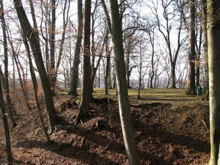
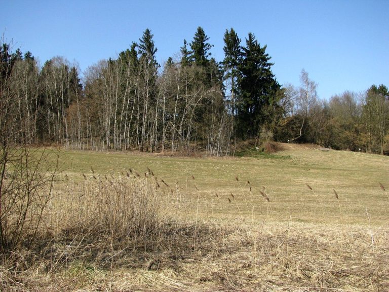
The castle earthworks occupy a largely level plateau of about one hectare, roughly 562 metres above sea level and around 40 metres above the Amper. The ground slopes northward, while steep slopes on the northwest and east sides provided natural protection. The visible remains are chiefly earthen, with brick rubble in the interior.
Layout and earthworks
Southern bank and ditches
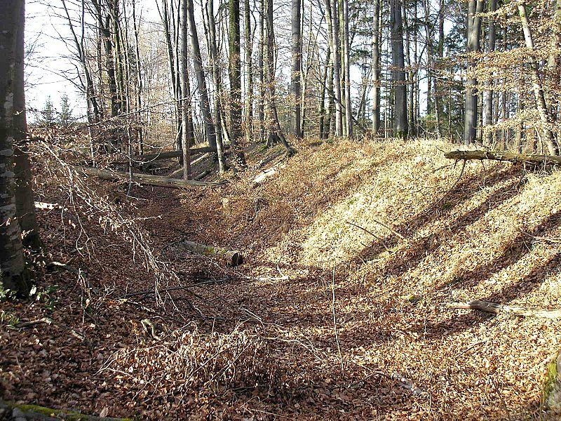
A strong, curved bank crosses the southwestern side of the spur, accompanied by two ditches. Its crest stands up to four metres above the plateau, and its outer face is about seven metres high. A relatively low fortification across the southern part of the site is probably prehistoric, although it may have been enlarged during the Early or High Middle Ages.
Mound and northern approach
A truncated earth cone about seven metres high at the north end may be the remains of the motte. A broad hollow, as much as two metres deep, divides the castle areas. The cone’s northern portion, at the rampart tip, may have been cut away or carried off by soil movement. Another interpretation identifies this earthwork as a section rampart, a defensive bank built across part of a landform. Comparable, much larger works of this type are generally assigned to the Early Middle Ages and understood as defenses against Hungarian attacks. North of the main castle, a double ditch follows the approach towards the Amper, with a bank about two metres high between its ditches.
Stones southwest of the castle
About 250 metres southwest of Sunderburg, two weathered stones lie nearly parallel in a small hollow among woodland. Known as the Sacrificial Stones or Blood Stones, they are slightly reddish and furrowed, and consist of limestone and sandstone. They probably came from the Central Alps and were carried to the area during the Würm glaciation, a major glacial phase in the Alps during the Pleistocene. The stones were exposed in the nineteenth century during a search for limestone.