Maiden Way: A Roman Road Linking Pennine Forts and Hadrian’s Wall
Site at a Glance
- Popularity
- Medium
- Country
- United Kingdom
- Primary era
- Classical
- Eras represented
- Classical
- Civilizations
- Roman
- Site type
- Infrastructure
- Remains
- Road
On this page7 sections
History
Roman route and strategic role
The Maiden Way was an approximately 32 km Roman road in northern Britain, United Kingdom, built by the Romans to connect Bravoniacum at Kirkby Thore, near Penrith, with Magnis at Carvoran on Hadrian’s Wall, a Roman frontier fortification. Epiacum, a Roman fort at Whitley Castle, lay roughly halfway along the route.
The road offered a shorter supply route to the central and eastern sections of the Wall and to the lead and silver mines near Epiacum. Bravoniacum was also a stopping point on the Roman road from Carlisle toward York and places farther south. Magnis stood beside the Stanegate, another Roman road running near the Wall.
Some proposed alignments extend the Maiden Way east along the Stanegate to Banna at Birdoswald, then about 11 km north to the fort at Bewcastle and onward to Liddesdale. The sharp zigzags along this proposed course make it difficult to identify the whole alignment as a single road.
Later use and the road’s name
After Roman rule in Britain ended, people used the road to drive livestock. Its name appears in Middle English forms including Maydengathe, Maidingate and Maidengate, around 1179 and 1294. The Medieval Latin name Via Puellarum means “Road of the Maidens.” The name probably refers to Maiden Castle, a small fortified post that guarded Stainmore Pass east of Verterae at Brough.
Excavation and protection
In July 2011, volunteers with Altogether Archaeology spent nine days excavating three sections beside the southeast end of Whitley Castle. The road is protected as a Scheduled Monument, a legal designation for nationally important historic sites in England.
Remains
Route and surface traces
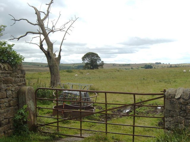
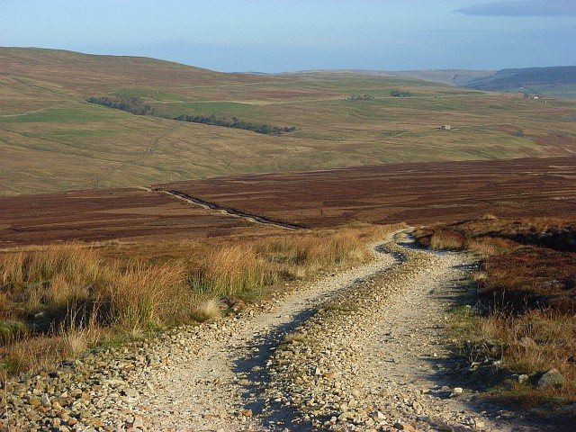
The road follows a remarkably straight line through mountainous terrain despite major changes in elevation, including a steep climb from Kirkby Thore. At about 670 m above sea level, it is probably England’s highest Roman road; if High Street is Roman in origin, the Maiden Way would instead rank second. On Lambley Common in Northumberland, above the South Tyne’s west bank, the route runs roughly north to south. The Pennine Way follows its line for several miles. Immediately to the north, a modern minor road follows the Roman alignment for several miles west of Featherstone Castle.
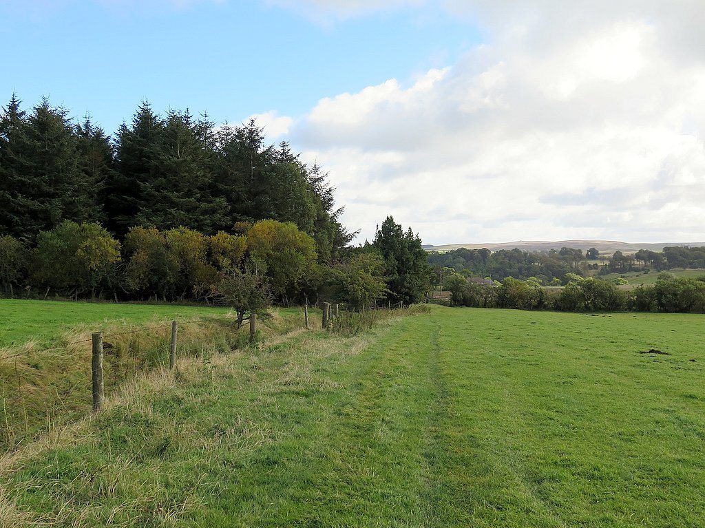
On Lambley Common, the surviving road appears as a long hollow, a straight strip, or a raised bank with ditches on either side. The raised section is about 4 m wide and up to 0.5 m high. Grass covers much of it, with gravel or paving stones showing through in places.
Subsurface course
In 2016, LIDAR, a method that maps terrain with laser pulses, was used for flood mapping and other environmental management. The resulting data indicate subsurface archaeological features, including a continuation of the road south from Kirkby Thore toward the Roman fort at Low Borrowbridge near Tebay.