Kitanaura: An Ancient Lycian City in Türkiye
Site at a Glance
- Popularity
- Low
- Country
- Turkey
- Primary era
- Medieval
- Eras represented
- Classical, Medieval
- Civilizations
- Byzantine
- Site type
- City
On this page11 sections
History
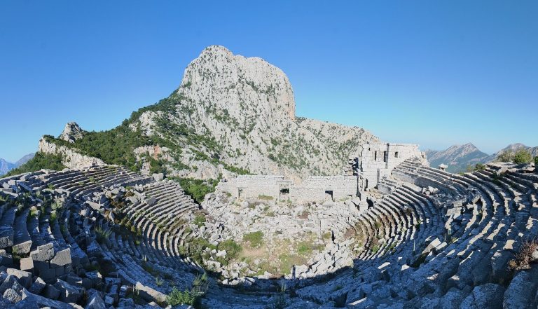
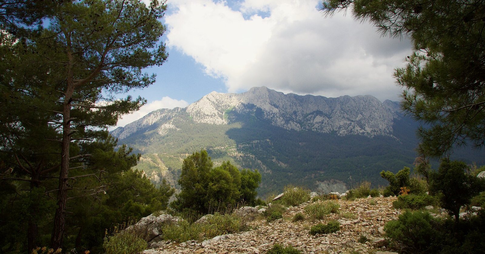
Kitanaura was an ancient Lycian city near Saraycık, at Gölcük in the Kumluca district of Antalya Province, Türkiye. No ancient writer mentions the city, so much of its history remains unknown.
Ancient and Byzantine phases
The earliest phase of Kitanaura’s defensive walls belongs to the Hellenistic period, which followed the conquests of Alexander the Great. The latest wall phase dates to the Byzantine period, the history of the eastern Roman Empire.
Five identified churches suggest that Kitanaura probably gained importance as Christianity spread during Late Antiquity, the transition from the ancient Roman world to the medieval period.
Rediscovery and identification
In 1842, British naval officer and surveyor T. A. B. Spratt spent two days at the site, copying inscriptions and drawing a plan. Since he could not identify the city, he considered whether it might be Marmara or Apollonia. Marmara was later identified, while Apollonia was eventually located far to the west in Lycia.
A study of coins at the Antalya Museum in 1998 identified the city as Kitanaura. A Roman milestone, a roadside marker that could carry place-names and distances, provided further evidence. Excavated at Patara in 1993, it bears first-century AD place-names and distances, including 17–18 km between Kitanaura and Idebessos.
A team from Akdeniz University, led by archaeologist Nevzat Çevik, surveyed the site in detail in 2004–2005 and again in 2006–2007.
Remains
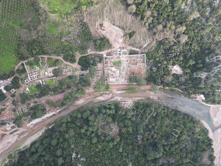
The site is arranged around an east–west hill, with its acropolis, the fortified high part of an ancient settlement, on the hill and structural remains extending to the south and west. Cliffs border the north and west sides; the southern side descends over a gentler rocky slope.
Acropolis and settlement features
Defensive walls
The walls run from the southwestern side of the acropolis toward its eastern and northern sides. They are 1.30 m thick and reach heights of 5–6 m in a few places.
Churches
One basilica, a large church building divided into aisles, stood in the southwestern corner of the acropolis. Another large basilica occupied a position near its center.
Road and funerary features
A road starts south of the acropolis, turns north, and continues along its western side. Cemeteries, or necropoleis, flank the road on both sides. South of the acropolis is a heroon, a shrine or tomb associated with a hero.
Baths and water supply
Bath–gymnasium complex
The best-preserved building is a bath–gymnasium complex, combining bathing facilities with spaces for exercise. It stands at the foot of the acropolis’s southwestern entrance and covers 700 m². The building included a wrestling court and six other sections. Its position at a crossroads on routes used by travelers suggests that it served temporary visitors as well as local residents. Its area is roughly twice that of the central baths at Patara (315 m²) and the southern baths at Xanthos (295 m²).
Possible aqueduct
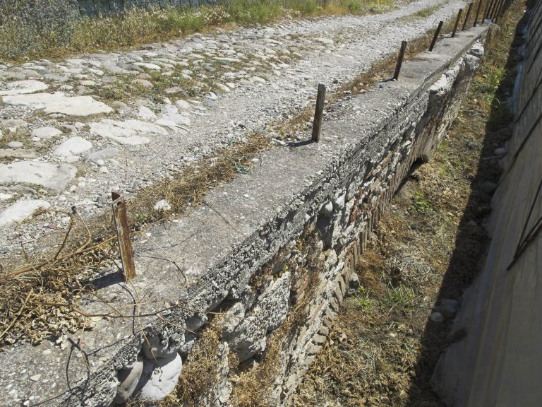
A wall made of huge, irregularly cut blocks runs from the hill west of the forest road toward the baths. It probably formed part of an aqueduct, a structure that carries water to a settlement or building.