Tell el Fakhariya: An Ancient Settlement Mound in Syria
Site at a Glance
- Popularity
- Medium
- Country
- Syria
- Primary era
- Iron Age
- Eras represented
- Bronze Age, Iron Age
- Civilizations
- Akkadian, Assyrian
- Site type
- City
On this page7 sections
History
Tell el Fakhariya is an ancient settlement mound in Ras al-Ayn, Syria, occupied from the Neolithic through the Roman-Byzantine period. Identified with the town of Sikkan, it developed substantially during the Middle and Neo-Assyrian periods.
Early settlement and Assyrian rule
Occupation began in the Neolithic, and the site was also settled during the Akkadian period. Sikkan is attested from around 2000 BC. Evidence from the Mitanni period consists of scattered pottery, while substantial development followed in the Middle Assyrian and Neo-Assyrian periods.
Around the thirteenth century BC, the town was called Dunnu. Under an Assyrian governor around 1000 BC, its name was Sikani. In the early first millennium BC, Sikkan belonged to Bit Bahiani, an Aramean state also known as Syro-Hittite.
The proposed Washukanni identification
Tell el Fakhariya has been proposed as the site of Washukanni, the capital of Mitanni, an ancient Near Eastern kingdom. Dietrich Opitz associated the Neo-Assyrian city of Sikan near Ras al-Ayn with Washukanni, suggesting that the names shared a Hurrian or Indo-Aryan origin. Edward Lipiński disputed this explanation, connecting Sikan instead to a Semitic word for a stele, an upright inscribed monument. A chemical comparison between a clay tablet sent from Washukanni to Egypt and samples from Sikan produced no match. The identification remains debated, although Stefano de Martino renewed support for it after German-led excavations in the 2010s.
Archaeological investigations
Max von Oppenheim became interested in the site in the early twentieth century. In 1929, during his work at Tell Halaf, he sent Felix Langenegger and Hans Lehmann to survey Tell el Fakhariya; they produced a contour map. A team led by Calvin W. McEwan carried out test excavations and mapped the site in 1940. Anton Moortgat investigated areas attributed to the Mitanni period in 1955, and A. Pruß led a brief excavation in 2001 with the University of Halle-Wittenberg and Syria’s Directorate-General of Antiquities and Museums. Following a survey in 2005, teams resumed work for a month in 2006 and excavated for eight weeks in 2007. Excavations continued in 2009 and 2010.
Remains
Mound and settlement area
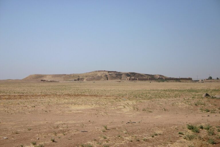
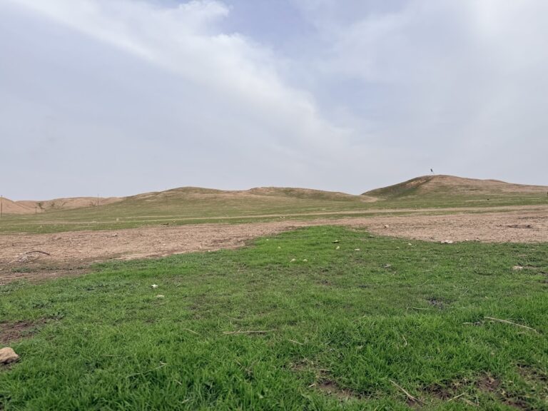
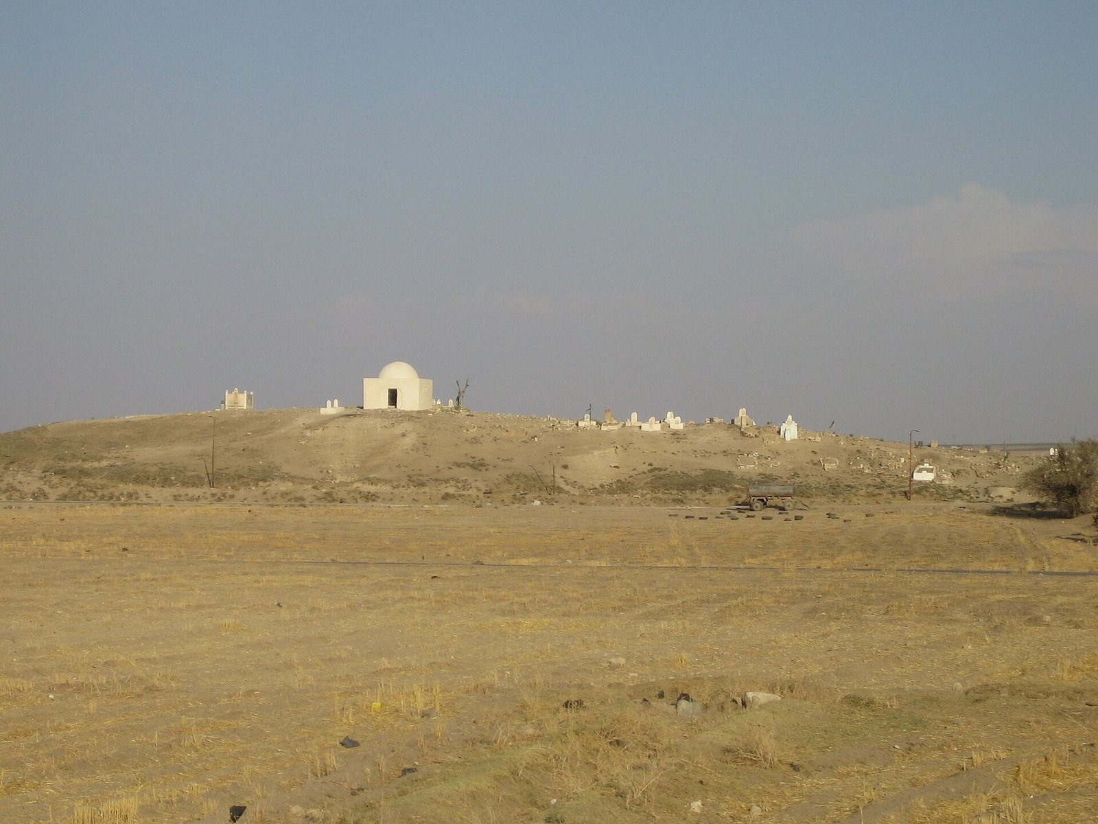
The archaeological site lies in the Khabur River basin and covers about 90 hectares. Its high mound occupies 12 hectares. A settlement mound, or tell, forms through the accumulation of remains from successive occupation. Tell el Fakhariya is in ruins, and other nearby mounds include Ras al-Ayn and Tell Halaf. Tell Halaf, identified with the Aramean and Neo-Assyrian city of Guzana, lies 2.5 kilometres to the east.
Inscriptions and tablets
Inscribed finds include a bilingual text in the Assyrian dialect of Akkadian and in Aramaic that provides information about the Aramean king Hadad-yith’i. Excavations in 1940 yielded twelve tablets and several fragments. One Middle Assyrian tablet, dated to around the thirteenth century BC, gives the town’s name as Dunnu. In 2009, excavators recovered eleven Middle Assyrian tablets written in cuneiform, a script made with wedge-shaped marks, from an early layer after the Mitanni period. Forty texts and fragments, along with seal impressions and several seals, came from the same context in 2010. Preliminary readings identify the texts as administrative; year-naming officials connect some to the thirteenth-century reigns of Shalmaneser I and Tukulti-Ninurta I.