St. Catherine’s Hill: An Iron Age Hillfort near Winchester
Site at a Glance
- Popularity
- High
- Country
- United Kingdom
- Primary era
- Iron Age
- Eras represented
- Iron Age, Medieval, Early Modern
- Civilizations
- English
- Site type
- Military
- Remains
- Fort
On this page14 sections
History
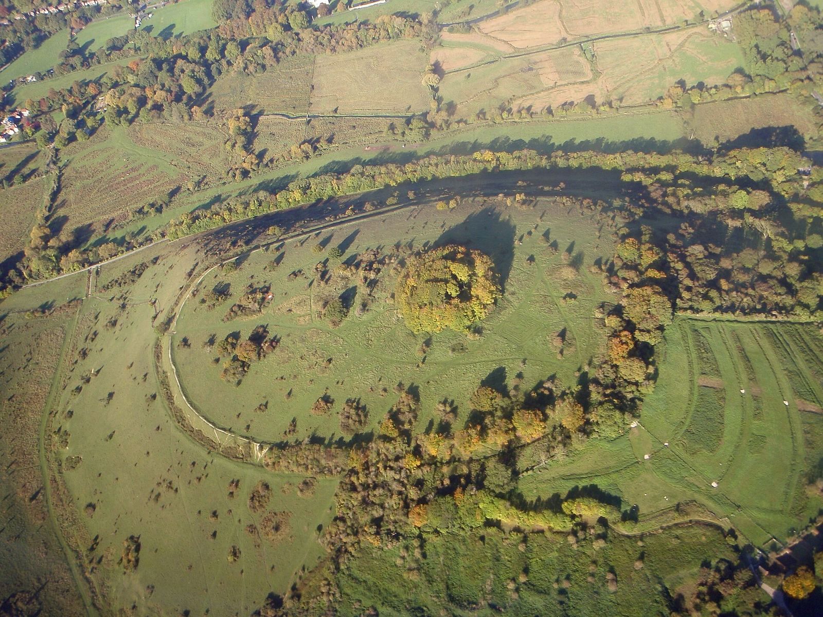
St. Catherine’s Hill is a chalk downland hill and Iron Age hillfort at Winchester in the United Kingdom. Work on its defences began in the Early Iron Age, and they were heightened and the entrance reshaped around 400–300 BC. The site remained occupied into the Middle Ages, with further activity during the Roman period.
Iron Age and Roman activity
Changes to the hillfort in the Middle Iron Age altered its defensive earthworks and entrance. The site’s long occupation continued through later periods, and finds from the Roman period indicate activity there under Roman rule.
Medieval and later uses
A chapel dedicated to St Catherine stood on the hill in the twelfth century. During the fourteenth-century Black Death, a pandemic of bubonic plague, many people in the area died. As Winchester’s graveyards filled, burial pits were dug in the valley beside the hill.
A turf labyrinth, called a mizmaze, was probably cut near the hilltop copse between 1647 and 1710. It was remade between 1830 and 1840. Winchester College once held football matches on the hilltop, with boys standing beside the pitch to stop the ball rolling downhill. By 1838, the game had moved to the Itchen valley. The college’s “Morning Hills” custom continues, bringing pupils and teachers together on the hill early each year for one of its few regular whole-school assemblies.
Ownership and changes to the landscape
In 1922, a Freemasons’ lodge of former Winchester College pupils bought the hill and gave it to the college, which remains its owner. Hampshire and Isle of Wight Wildlife Trust manages the site. The 43-hectare area became a biological Site of Special Scientific Interest in 1986, a designation for land with notable wildlife or geological value; the hillfort is also a Scheduled Monument, a nationally protected archaeological or historic site in England.
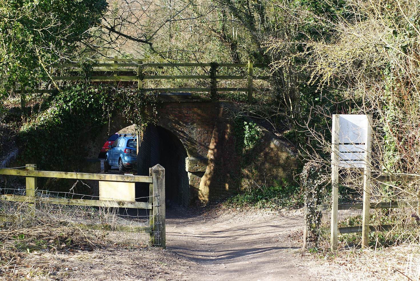
The Didcot, Newbury and Southampton Railway, built in the 1890s, divided the hill from the Itchen valley water meadows. Construction of the Winchester By-pass in the 1930s increased that separation, while the road’s later removal reconnected the hill with the city and college. The M3, built in the 1990s, cut the hill off from the chalk hills to the east and prompted the Twyford Down protests against the road scheme.
Remains
The hillfort occupies the summit as an earthwork enclosure, within a wider landscape of chalk slopes, a dry valley and a beech wood. Its surviving features and archaeological finds reflect activity from the Iron Age into the Roman period.
Hillfort earthworks and finds
Defences
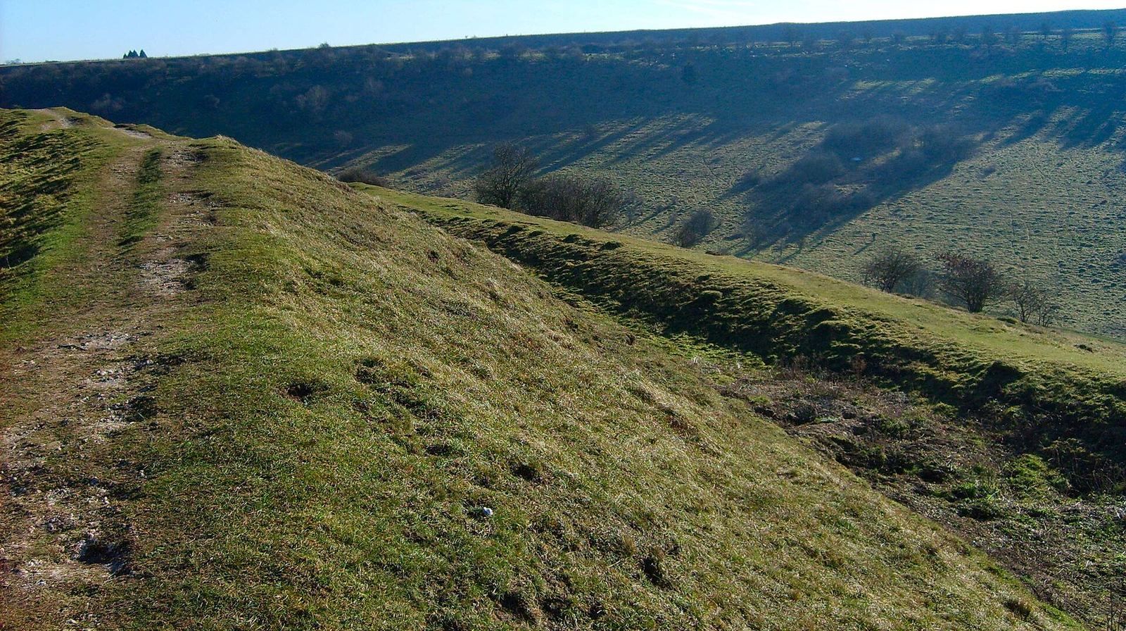
A single rampart and an outer ditch form the hillfort’s defences. An additional bank along much of the outer edge of the ditch is called a counterscarp bank. At the north-east entrance, the rampart turns inward.
Archaeological finds
Finds include Iron Age pottery, a saddle quern, a stone used to grind grain, worked bronze, iron, bone and stone objects, whetstones and spindle whorls. Animal bones come from sheep or goats, shorthorn oxen, horses, pigs, red deer and dogs. Roman-period finds include pottery, a bronze coin of Carausius, a late third-century Roman emperor, and a bronze brooch.
Hilltop features
Chapel site
A beech copse on the summit contains the site of the medieval chapel dedicated to St Catherine.
Turf labyrinth
The mizmaze, a labyrinth cut into the turf, lies near the copse. An 1838 engraving shows the hill as bare and places a Winchester College football match in the Itchen valley rather than on the summit.
Landform and habitats
Geology and landscape
St. Catherine’s Hill is part of the Winchester anticline, an upward fold in rock layers. The hill’s chalk belongs to the Upper Cretaceous New Pit Chalk Formation, in the Turonian subdivision of that period, and is about 90 million years old. Erosion exposed older rocks to the north and left an inward-facing circular escarpment around the hill and nearby high ground. Oliver’s Battery lies to the west, Magdalen Hill to the north, and Telegraph Hill and Chilcomb Down to the east. To the south, Plague Pits Valley is a dry valley in the chalk of Twyford Down; to the west, the River Itchen cuts across the chalk hills.
Thin, dark rendzina soil, a shallow soil commonly formed over chalk or limestone, lies directly on the chalk. It is thinnest high on the slopes and becomes deeper in the valleys.
Grassland, valley and woodland
Much of the hill is chalk grassland. Where grazing keeps the sward short, sheep’s fescue grows with common rock-rose, salad burnet, thyme, horseshoe and kidney vetches, fairy flax, clustered bellflower, autumn lady’s-tresses and frog orchid. The uncommon chalkhill blue butterfly also occurs on the hill. Small populations of other downland orchids grow there, along with bastard toadflax and juniper, both uncommon in southern England; primulas occur on the summit.
Taller grasses, including meadow fescue and upright brome, grow on the north-facing side of the dry valley, alongside basil, betony, wild carrot, yellow rattle and perforate St John’s wort. Saw-wort, hemp agrimony and devil’s-bit scabious occur in wet grassland there. Scrub, particularly on the northern side, includes hawthorn, blackthorn, privet, dogwood and wild rose. Grazing and cutting control its growth, while beech trees form the hilltop wood.