Twmbarlwm: An Iron Age Hillfort and Later Motte-and-Bailey Castle
Site at a Glance
- Popularity
- High
- Country
- United Kingdom
- Primary era
- Iron Age
- Eras represented
- Iron Age, Medieval
- Civilizations
- Celtic, Norman
- Site type
- Military
- Remains
- Fort
On this page7 sections
History
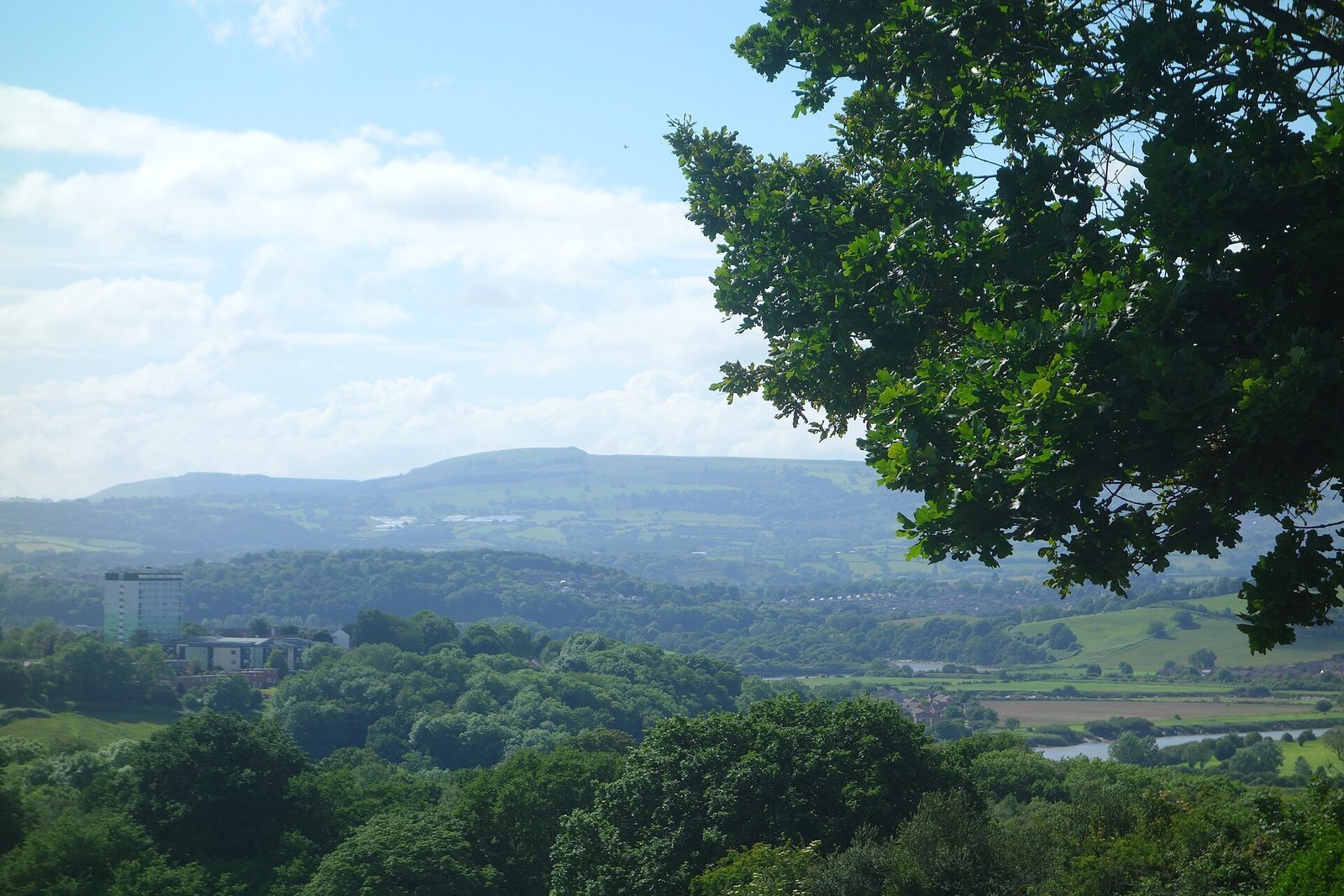
Twmbarlwm is a hilltop archaeological site about 2 km northeast of Risca in South Wales, United Kingdom. Its summit remains are generally identified as an Iron Age hillfort, thought to have been built by the Silures, an ancient Celtic people of southeastern Wales.
Iron Age and later occupation
A Roman signal point may later have occupied the hill. In the early Norman period, after the Normans established rule in England and Wales following the 1066 conquest of England, a motte-and-bailey castle was probably built at the hillfort’s eastern end. This type of castle combined a raised mound with an adjoining enclosed area.
Pilgrimage, folklore, and literature
Twmbarlwm may have stood on a medieval Cistercian pilgrimage route between Llantarnam and Penrhys. The Cistercians were a Catholic monastic order. Good Friday walks became a local custom involving people from Risca, Cwmbran, and Newport. Church groups sometimes carried a cross and sang hymns, while bannered marches continued into the 1970s. Attempts to revive the walks were made as recently as 2012, and young people from nearby communities have also walked to the summit and back on Good Friday.
Local traditions cast the hill as a sacred place where druids, religious specialists associated with ancient Celtic societies, passed judgement. Other stories tell of a giant buried there and treasure guarded by swarms of bees. A legend about the nearby Pool of Avarice relates that a great house sank in a landslip after its mistress refused help to a hungry beggar.
In his 1922 autobiography, Welsh writer Arthur Machen described Twmbarlwm as a mystical mound commemorating people who had lived in the region before the Celts left the Land of Summer. Dylan Thomas adapted this description for Llareggub Hill in Under Milk Wood.
Protection and damage
The site became a scheduled monument, an archaeological place protected under UK heritage law, in 1933. Its official designation is “Twm-Barlwm Mound and Bailey Castle.” Illegal off-road motorcycling has caused extensive damage to the mound and surrounding ground. Local councils repeatedly tried to limit the harm with fencing, but the fences were destroyed within weeks.
Remains
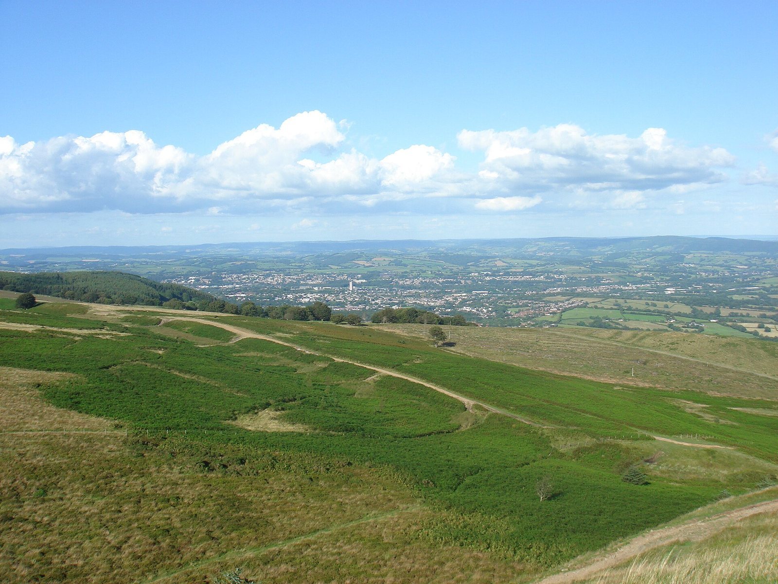
The remains occupy the summit of Twmbarlwm, a hill that rises to 419 m and covers 4.14 hectares. The summit commands views over the Bristol Channel, Newport, Cwmbran, Cardiff, and the M4 corridor.
Hillfort defenses
Near the summit, the hillfort’s surviving defense consists of a single wall interrupted by two large gaps.
Castle remains
The castle remains lie within the earlier defensive site at its eastern end. They include a raised mound and an adjoining enclosed area. The mound is locally nicknamed “the Nipple” and “the Pimple.” Twmbarlwm is also called “the Twmp,” meaning “hump.”