Sanam: A Napatan Kushite Settlement and Temple Site in Sudan
Site at a Glance
- Popularity
- Low
- Country
- Sudan
- Primary era
- Iron Age
- Eras represented
- Iron Age
- Civilizations
- Kushite
- Site type
- City
On this page11 sections
History
Sanam is an archaeological settlement of the Kingdom of Kush, an ancient Nubian kingdom, on the west bank of the Nile in Sudan. It was active mainly from about the eighth to the sixth centuries BCE, during the Napatan period, an early phase of Kushite history centered on Napata. Although Sanam lies in Napata’s region, it has not been identified as the city itself, though that possibility has been proposed. Buildings surveyed at the site indicate activity continued into the Meroitic period, a later phase of Kushite history. A distinctive statue found in Wadi Abu Dom gave the site its name; Sanam Abu Dom is another name for it.
Napatan occupation and the Amun temple
King Taharqa (690–664 BCE) built Sanam’s temple to Amun, a major deity in ancient Egyptian religion, and dedicated it to “Amun, the Bull of Nubia.” King Aspelta (about 593–568 BCE) later added a small shrine. This was the temple’s last known building project, and sacred use seems to have ended soon afterward. The temple and the wider complex of buildings offer insight into the Kushite state and its economy.
Cemetery and community
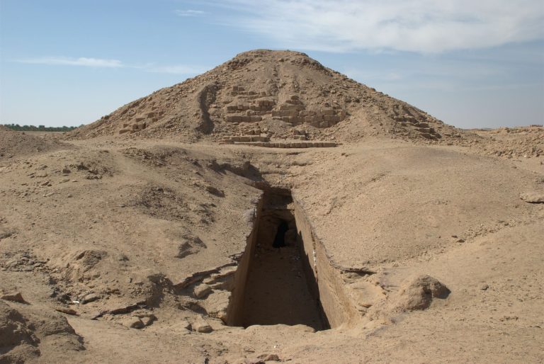
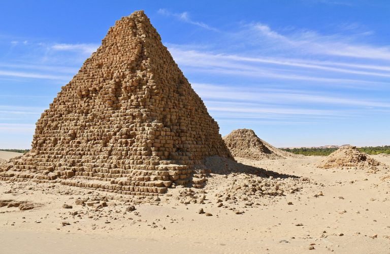
Sanam’s cemetery served the town’s population rather than the royal family. Its use began during the reign of Piye (747–712 BCE) and continued until the reign of either Malonaqen or Aramatelqo (about 568–555 BCE). Differences in tomb construction and grave goods point to social distinctions among those buried there. The cemetery’s closeness to the royal burial ground at Nuri and to Sanam’s workshops has prompted the suggestion that many of the dead worked in administration or helped provision Nuri’s pyramids.
Investigation and heritage status
Nineteenth-century travelers described Sanam, and the first systematic excavation followed in the winter of 1912–1913. Francis Llewellyn Griffith, working for the University of Oxford, investigated the cemetery, temple, and Treasury. His approximately 1,600 pages of handwritten plans, drawings, notes, and photographs remain incompletely published and are held at the Griffith Institute in Oxford.
About ninety years later, a Sudanese-Italian archaeological mission led by Abdel Rahman Ali and Irene Vincentelli resumed work at the site. Angelika Lohwasser used Griffith’s records for detailed cemetery research, while Kathryn Howley has worked to prepare the temple excavation material for publication using both the archive and later fieldwork. From 2016 to 2018, Tucker and Emberling surveyed the settlement with a geophysical method that maps buried features through changes in the magnetic field. They mapped multiple structures and recorded seven buildings. Sanam forms part of the UNESCO World Heritage property “Jebel Barkal and the Sites of the Napata Region,” inscribed in 2003.
Remains
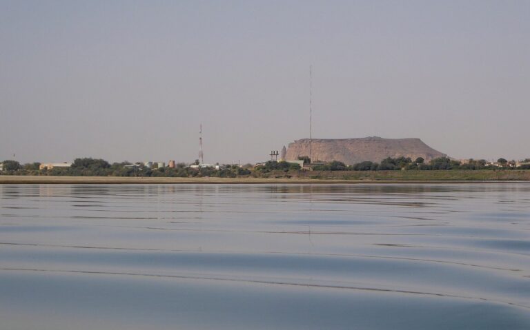
The archaeological area extends across a desert tract about 900 by 650 metres, near Merowe. Across the Nile lies Gebel Barkal, an important Kushite sacred center. Modern Merowe has expanded over parts of the ancient site. Excavations and surveys also indicate that representative buildings stood on fertile land beside the river, beyond the settlement and cemetery.
Cemeteries
The main cemetery contains an estimated 1,550 to 1,700 graves and is among the largest known non-royal cemeteries of the Napatan period. Its grave goods include imported semi-precious stones, ivory, and precious metals. Differences in burial construction and objects reflect social distinctions within the community. A second cemetery associated with the settlement served people of higher status.
Temple and settlement buildings
Amun temple
The temple is poorly preserved and follows an Egyptian plan, with spaces arranged along an axis toward an inner sanctuary. Modeled on Egyptian monuments, it stood among royal buildings. The temple is one of the structures that remain visible at Sanam.
Treasury
The Treasury, near the temple, was the largest building at Sanam. It measured 267 metres in length and had a courtyard surrounded by 35 rooms. Ivory tusks found inside, together with the building’s scale, suggest it held royal property. Goods were stored and distributed there. A seal recovered by Griffith points to use from roughly 747–716 BCE through 593–568 BCE. Fire damaged the building after it had largely been cleared.
SA.K 300
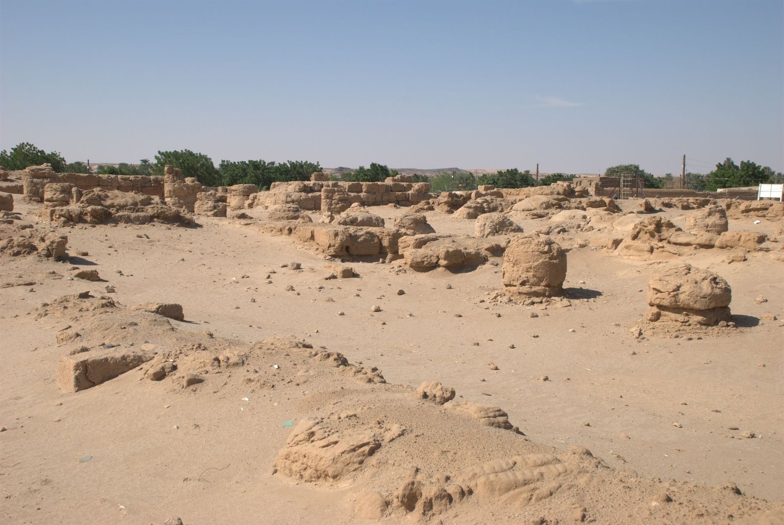
East of the Treasury, SA.K 300 was a workshop and storage building measuring 39 by 35 metres. It had eleven rooms, nine of them opening onto an inner courtyard. Excavations yielded pottery and other ceramic objects; royal seals on some products link them with royal goods. SA.K 300 remains visible.
Other mapped buildings
Other buildings extended in a line toward the Amun temple, with many between it and SA.K 300. Period pottery fragments, along with pieces of stone and ivory, mark areas of these remains at the surface and give the ground a whitish appearance. Building SA.C 400, like the temple, Treasury, and SA.K 300, remains visible.