Caddo Mounds State Historic Site: A Caddo Village and Ceremonial Center
Site at a Glance
- Popularity
- Medium
- Country
- United States
- Primary era
- Medieval
- Eras represented
- Medieval
- Civilizations
- Mississippian
- Site type
- City
On this page9 sections
History
Caddo Mounds State Historic Site is the remains of a Caddo village and ceremonial center in the United States, built and used by Caddo communities. It was associated with the Caddoan Mississippian culture, a regional expression of the wider Mississippian archaeological tradition. Its earliest development dates to about 780–800 CE, and its broader archaeological chronology extends to approximately 1260 CE. The site was the southwesternmost ceremonial mound center among North America’s major mound-building cultures.
Founding and ceremonial center
The Hasinai, a Caddo group, moved into the area from the Red River region to the northeast. Good soil, plentiful food, and a lasting water source that flowed into the Neches River made the location suitable for settlement. A permanent Hasinai village was established around 850–900 CE, while major construction at the site is broadly dated to 1100–1300 CE.
The village stood beside a precontact Native American trail that was later given the Spanish name El Camino Real de los Tejas, referring to a route across Texas. The trail’s later name reflects a subsequent period of Spanish activity in the region, not the time when the Caddo settlement began.
Abandonment and later Caddo communities
Around 1250 CE, Caddo people ritually capped the mounds and left the settlement. Caddo oral history connects this change with a shift in activity from east to west. Outlying hamlets became more self-reliant and less dependent on the center for religious and political affairs. Caddo communities that remained in the region retained many earlier cultural practices, while becoming more egalitarian and bringing in fewer exotic goods.
By the eighteenth century, Caddo groups in the area lived in dispersed villages and hamlets with more autonomous local governments. Hasinai communities remained in the Neches and Angelina River valleys into the 1830s. By the early 1840s, Caddo groups had moved to the Brazos River area to avoid Anglo-American colonization. The U.S. government relocated them to the Brazos Indian Reservation in 1855, then forced another move in 1859, to the Washita River in Indian Territory, now western Oklahoma.
Recognition, archaeology, and preservation
Athanase de Mézières, a Spanish colonial official, made the earliest recorded written mention of the mounds in 1779 while traveling from Louisiana to San Antonio. James Edwin Pearce professionally recorded the site in 1919 for the Smithsonian Institution’s Bureau of Ethnology. Following surface collection in 1933, E. B. Sayles identified it as a Caddo mound center. H. Perry Newell led the first scientific excavations from 1939 to 1941 for the University of Texas and the federal Work Projects Administration, a Great Depression-era employment and public-works program. After Newell’s death, Alex D. Krieger continued the investigations and concluded that the site had been a major Caddo center.
Dee Ann Story’s work in the 1960s and early 1970s established the site’s chronology at approximately 780–1260 CE. Further excavations in the 1970s and 1980s were funded by the Texas Parks and Wildlife Department and carried out by the University of Texas at Austin, Texas A&M University, and contractor Elton R. Prewitt. The site entered the National Register of Historic Places in 1970, with its boundary expanded in 1979. Texas designated it a State Historic Site in 1974, the year the department established a historic park after acquiring 70 acres; excavations led to another 23 acres being added in 1981.
The site museum worked with members of the Caddo Nation of Oklahoma on cultural interpretation. In July 2016, Caddo elder Phil Cross discussed the construction of a grass house at the site using traditional techniques. On April 13, 2019, an EF3 tornado, a classification based on observed damage on the Enhanced Fujita scale, struck during Caddo Culture Day. One person was killed and between 30 and 40 people were injured, including eight critically. The tornado heavily damaged the visitor center and service buildings, and the loss of museum display space destroyed many replica objects. Original artifacts had been removed from public display before the storm under an agreement between the Texas Historical Commission and people authorized to represent the Caddo Confederacy of Native Americans.
Remains
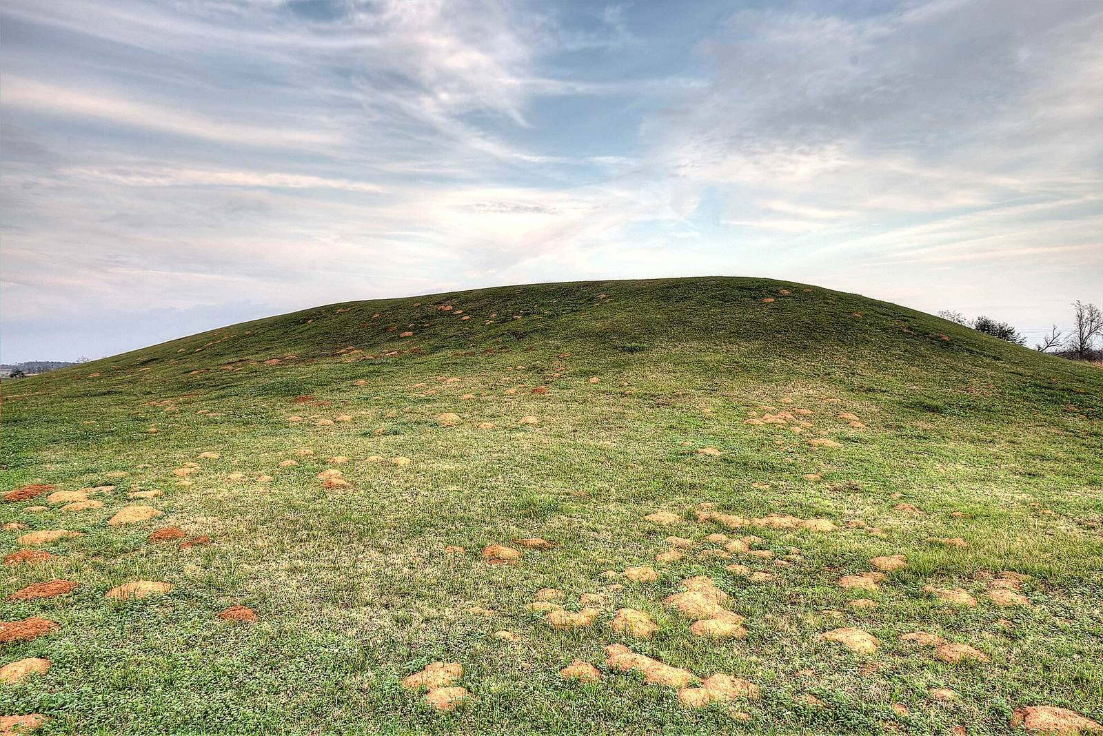
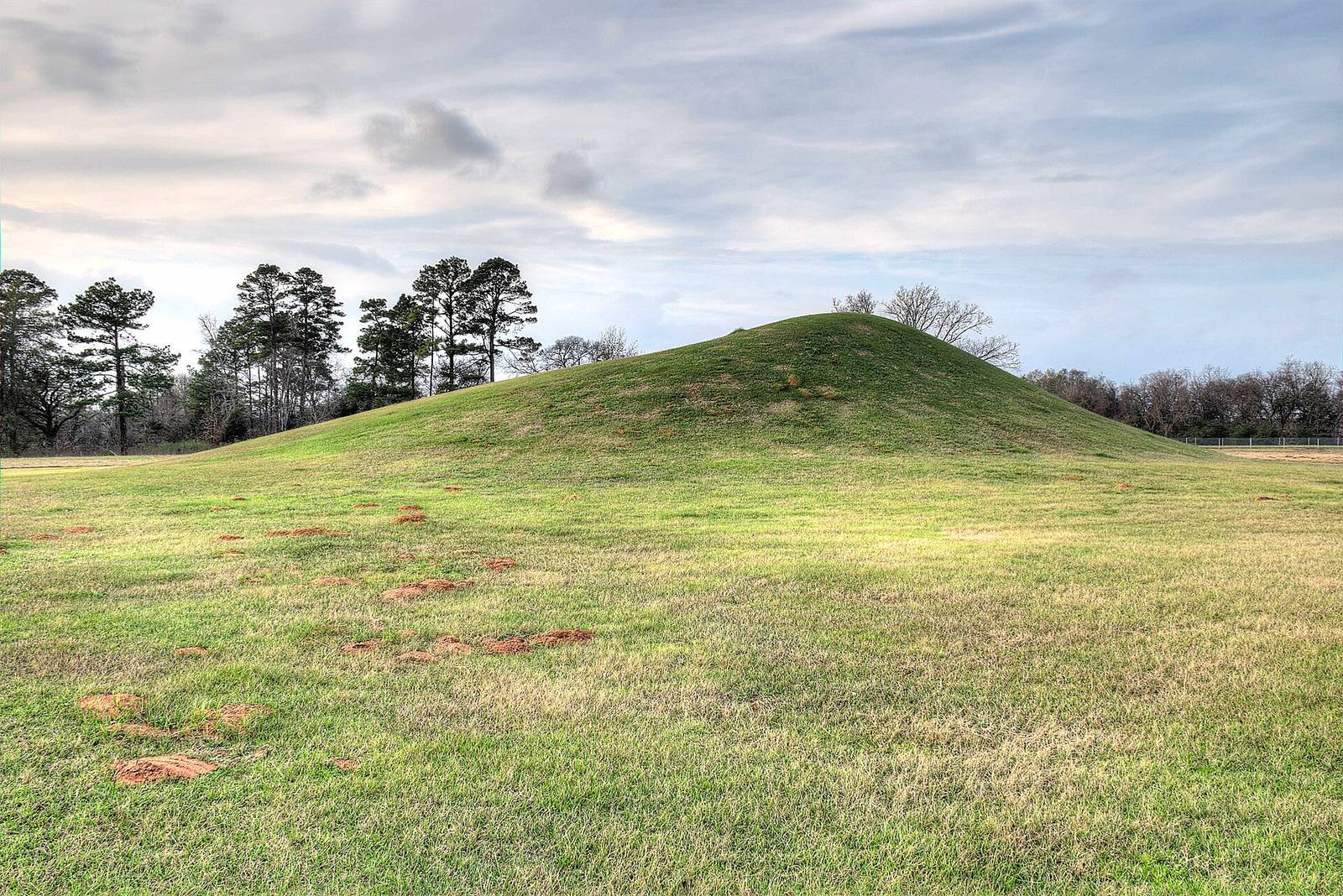
The 353-acre site comprises a village and ceremonial center with two raised, flat-topped earth mounds and one burial mound. Mound A lies at the southern edge, Mound B near the center, and Mound C at the northern end. A low temple is also among the site’s features.
Mounds and ceremonial features
Mounds A and B were used for elite residences or temples.
Mound A
The largest mound, Mound A, is at the southern edge of the site. Its construction began around 850–900 CE, and about 40 houses surrounded it.
Mound B
Near the center of the site, Mound B was begun around 1100 CE. It measures approximately 175 feet (53 meters) from north to south and 115 feet (35 meters) from east to west.
Mound C
Mound C is the northernmost mound. It served as a burial mound rather than as a place for elite residences or temples.