Scratchbury Camp: An Iron Age Hillfort in Wiltshire
Site at a Glance
- Popularity
- Medium
- Country
- United Kingdom
- Primary era
- Iron Age
- Eras represented
- Stone Age, Iron Age
- Civilizations
- Unclassified
- Site type
- Military
- Remains
- Fortified Town
On this page17 sections
History
Scratchbury Camp is an Iron Age hillfort, an enclosed settlement or defended place strengthened by earthworks, on Scratchbury Hill near Norton Bavant in the United Kingdom. It is associated with the Belgae, an ancient people connected with northern Gaul and southern Britain, though the builders are not identified more precisely. The main fort is dated to around 100 BC, and its principal ramparts appear to have been built during the first century BC.
Iron Age development
People frequented the area in the early Iron Age. The fort’s defences were constructed in at least two phases, and perhaps three. The curving stretch of the fort’s inner circuit is thought to be the earliest. Later changes may represent separate building stages or a realignment. A break in the slope could mark another phase, or the intended line of a bank that was never raised.
In a possible final stage, the fort was enlarged to enclose the hilltop, including a large barrow, and to take advantage of the natural slopes. Use of the site later diminished gradually, but it was not wholly abandoned. Activity in different periods makes the sequence difficult to date precisely.
Dating the smaller enclosure
The date of the smaller enclosure within the fort remains debated. In 1930, E. C. Curwen interpreted it as a Neolithic causewayed enclosure, a boundary marked by gaps in its ditches, partly because of its interrupted form and the discovery of jade and flint axes. In 1957, W. F. Grimes argued instead for an early Iron Age date, around 250 BC. He pointed to Iron Age pottery in the primary fill, the earliest deposit in the feature, and suggested that ploughing had created the apparent gaps. Field survey by the Royal Commission on the Historical Monuments of England in 1994–95 favored Curwen’s interpretation. Aerial and photographic surveys also suggested that the enclosure extended farther east than previously thought, and that Grimes may not have reached its earliest deposits. Its shape may have provided a foundation for a palisade, a fence made of upright stakes.
Investigations and later interpretation
William Cunnington and Richard Colt Hoare excavated barrows at Scratchbury between 1802 and 1804. The later system dividing prehistory into the Stone, Bronze, and Iron Ages had not yet been introduced, so they could not classify their finds within that framework. Further archaeological investigations took place in 1810 and 1991, and Grimes recorded the burial mounds again in 1957.
The camp became a Scheduled Monument in 1981, a legal designation for an archaeological or historic site. It also lies within the 53.5-hectare Scratchbury and Cotley Hills Site of Special Scientific Interest, an area recognized for its biological value and first notified in 1951. The origin of the name Scratchbury is uncertain. One proposal links Scratch, an old West Country word for the Devil, with Old English beorg, meaning a mound or hill and sometimes a defence. Another derives it from crech or crechen, meaning hill, and burh, meaning a fortified or defended place.
Remains
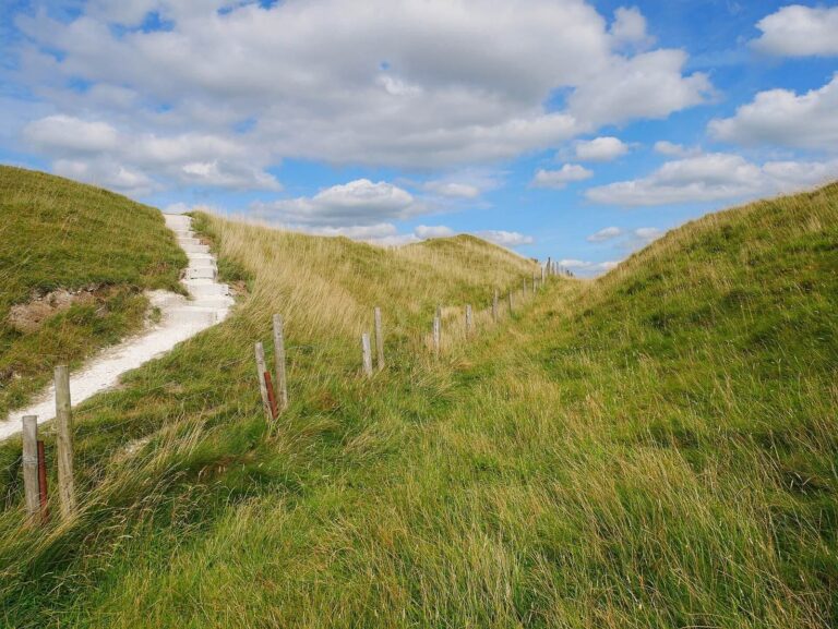
The fort occupies the summit of Scratchbury Hill at 197 metres above sea level, on the edge of Salisbury Plain’s chalk plateau. It overlooks the Wylye valley to the south and lies about a kilometre northeast of Norton Bavant. Its roughly four-sided plan follows the hill’s contours, enclosing about 15 hectares (37 acres); the ramparts extend for 1,688 metres. Steep slopes provide natural defence to the north, west, southwest, and part of the east, while other approaches are less steep.
Earthwork defences
Ramparts and ditches
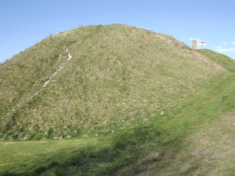
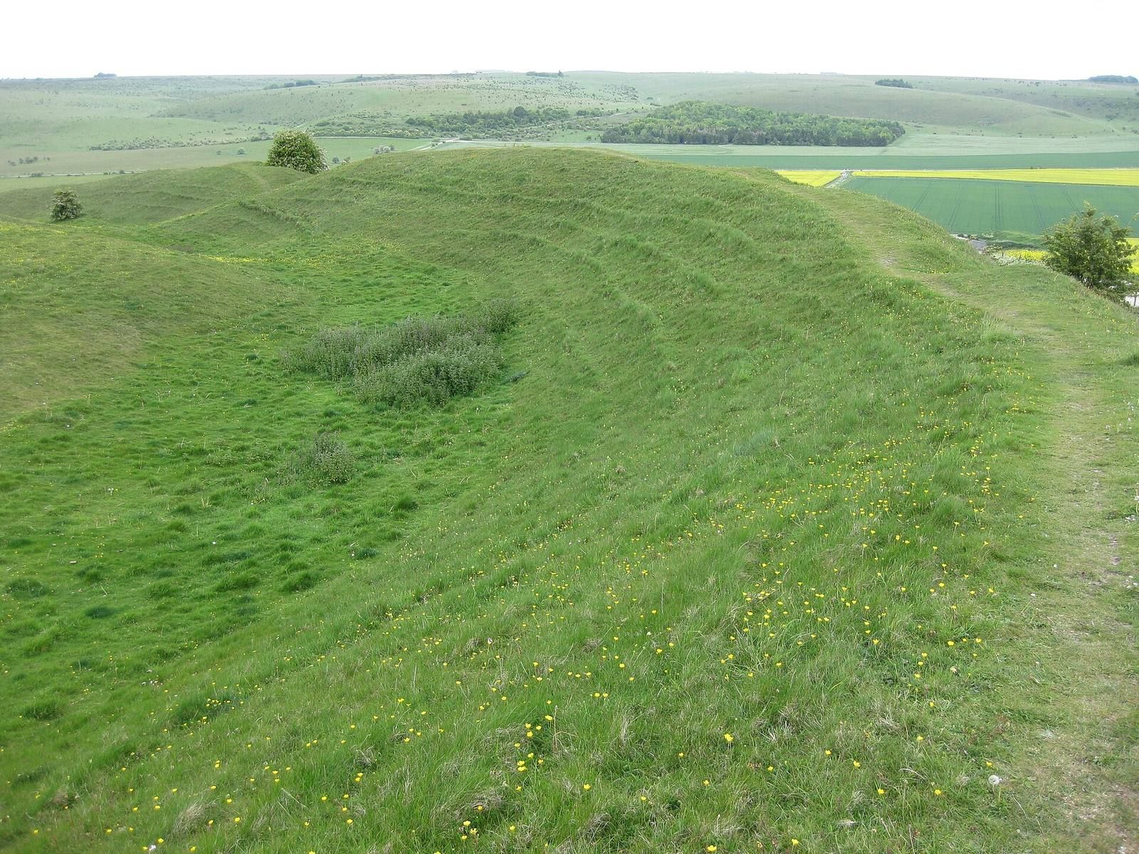
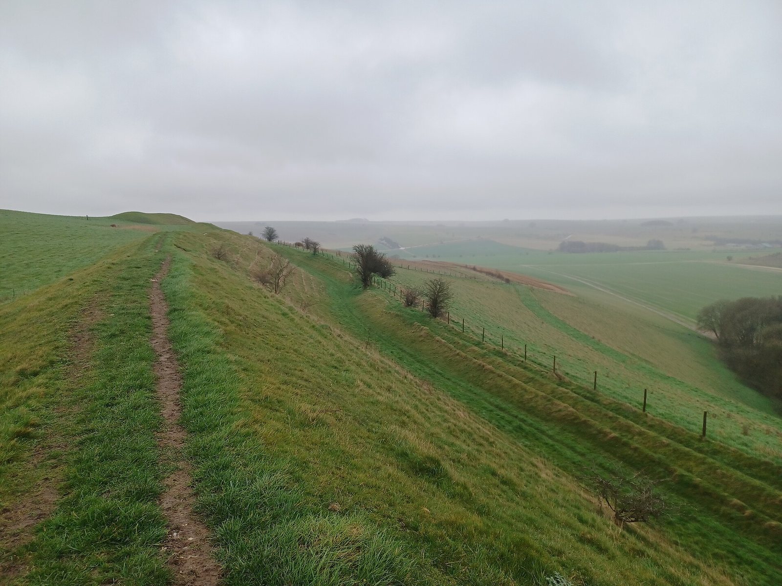
The main circuit has a single ditch and rampart, supplemented by outer banks on the more accessible sides. The ditch was dug to provide material for the bank, a construction method known as a quarry ditch. The dimensions vary around the circuit, a variation interpreted as possible evidence that different groups built separate sections. The western defences survive best: the ditch is 5–8 metres wide and up to 1 metre deep, while the rampart rises as much as 6 metres above the ditch bottom and is about 15 metres wide at its base. Elsewhere, the bank rises 3–6 metres above the ditch bottom; the ditch is 4–6 metres wide and up to 0.5 metres deep. On parts of the east side, a ledge 3–8 metres wide takes the place of the ditch. Outer banks on accessible sides are counterscarps, earthworks beyond the defensive ditch.
Entrances
Three principal entrance locations lie on the east, southeast, and northwest sides. Two on the east are considered original, while the northwest entrance is less certain. The eastern openings are offset from the line of the ramparts by about 7 and 15 metres. At the southeastern entrance, the rampart ends form a passage about 20 metres wide, with earthwork traces that may represent outer defences. A narrow ridge called Burberry approaches from Cotley Hill, where the hillfort boundary meets the adjoining hill with little change in level.
Interior features
Smaller enclosure
The smaller enclosure near the centre of the fort was first described as D-shaped and covering about 3.5 hectares; it is now thought more likely to have been roughly circular and to extend farther east. A step-like bank along its southern side rises about 0.5 metres, with faint bank traces to the north and west. Its ditch survives in interrupted sections 30–50 metres long, and a gap about 15 metres wide on the west may have been an entrance. At the southeast, the ditch ends where it is cut by the main hillfort boundary, showing that the enclosure came first.
Settlement traces
About 100 probable building sites occur mainly in the northern and western parts of the interior, suggesting settlement was concentrated there. Most appear as shallow circular hollows 5–10 metres across and up to 0.6 metres deep. A rectangular platform just inside the southern end of the western entrance is the best-preserved example; its unusual form and position have prompted the suggestion that it served as a guard chamber or sentry post. Small hollows near the northwest entrance may also mark huts.
Burials and later earthworks
Barrows
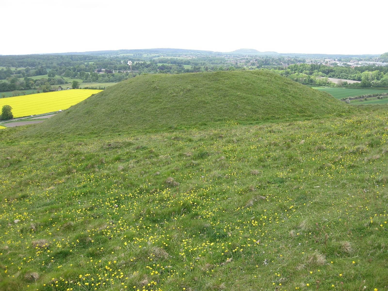
Seven bowl barrows, rounded burial mounds, lie within the fort, and an eighth may stand just outside. At least six survive within the enclosure. The group is also known as the Scratchbury Grave Group or Scratchbury Hill Group. A possible connection has been proposed between the cemetery and the smaller enclosure.
Later ditches
A ditch of Romano-British or later date crosses the earlier Iron Age earthworks. It runs east to west before turning sharply south at the southwest corner. Other banks and a later ditch parallel to the southern side are visible in aerial images.
Finds and downland habitat
Archaeological finds
Finds from the camp include bone, pottery, flint, brass, amber jewellery, Roman objects, and Neolithic flint and jade axes. Cunnington recorded a jade axe, a polished white-flint axe, and British and Roman pottery from inside the camp in 1802. The flint axe, found at an entrance, measures 86 by 63 by 25 millimetres and has a re-chipped end. A Roman bronze spoon was found on or near the camp in 1804. Two Bronze Age axes were apparently found nearby in 1880; one is socketed, and the other belongs to a type associated with late northern Europe. Most excavated finds are now held by the Wiltshire Museum in Devizes.
Grassland and wildlife
The surrounding downs have unimproved grassland on chalk soils, while grass within the fort has an intermediate nutrient level, probably reflecting past cultivation and soil improvement. Sheep grazing helps maintain the grass and limit shrub growth. Plants include sheep’s fescue, red fescue, upright brome, devil’s-bit scabious, saw-wort, chalk milkwort, horseshoe vetch, thyme, and woodruff. Small areas of hawthorn and elder scrub on lower slopes and earthworks provide shelter for invertebrates. Twenty-nine resident breeding butterfly species have been recorded, including the Duke of Burgundy, grizzled skipper, dark green fritillary, and small blue. Horseshoe vetch supports chalkhill blue and Adonis blue butterflies. Day-flying moths include the wood tiger and the rare forester moth; rabbits and badgers are also common in the area.