Danebury Hill Camp: An Iron Age Hillfort in Hampshire
Site at a Glance
- Popularity
- High
- Country
- United Kingdom
- Primary era
- Iron Age
- Eras represented
- Iron Age
- Civilizations
- Celtic
- Site type
- Military
- Remains
- Fortified Town
On this page18 sections
History
Danebury Hill Camp is an Iron Age hillfort, an enclosed settlement or stronghold defended by earthworks, in Hampshire, United Kingdom. It was built around 550 BC and occupied from the mid-sixth century BC until about 100 BC. Its construction coincided with a marked increase in hillfort building across Wessex. Nearby Figsbury Ring, Quarley Hill, and Bury Hill were probably established at about the same time and had similar sizes and layouts.
Foundation and changing role
Around 400 BC, the fort’s defences were substantially remodelled and extended beyond the original enclosure. This expansion occurred while some other hillforts were being abandoned. Danebury may have served both as a stronghold and as a place where wealth and authority were displayed. Its elevated position made it visible over a wide area.
The site may also have acted as a centre for gatherings, exchange, and storing food. Grain arrived from surrounding farmsteads, and Danebury could hold about twenty times as much food as an average farmstead. Around 400 BC, its population may have numbered 200 to 350, possibly including a king or chieftain, their household and followers, and craftspeople. Large-scale craft activity and central shrines have been taken to indicate that the fort served a social elite. Its population, and whether defence was its main purpose, remain matters of debate.
At times, increased activity at Danebury coincided with fewer people living in the surrounding countryside. This pattern may reflect the fort’s growing social importance, or unrest that led people to seek protection there.
Decline and reduced use
The eastern gates burned after an enlargement and were not replaced immediately. The entrance was later repaired with a longer passage. Around 100 BC, the east gate burned again and was not rebuilt. Most inhabitants left around this time, during a wider decline in hillfort use in Britain. Groups of human remains were placed in charnel pits, pits used to dispose of human remains. About 100 individuals have been identified, many with injuries apparently caused by weapons.
Use of the site continued on a smaller scale. Buildings fell into decay, the interior became grazing land, and by the beginning of the first century AD the settlement was probably no more than a single farm.
Names, excavation, and protection
The place was once known as Dunnebury Hill. A grant made in 1491 by Henry VII, king of England from 1485 to 1509, gave a July fair to the prioress of Amesbury Abbey and the Church of St Mary and St Melor at Dunnebury Hill. John Norden’s 1595 map used the form Dunbury. In 1989, Coates proposed that the name derives from elements meaning “hill” and “fort.”
The first excavation took place in November 1859, when British antiquary Augustus Wollaston Franks directed the clearance of an Iron Age pit. Archaeologist Barry Cunliffe led a much larger investigation from 1969 to 1988. Across twenty seasons, the team studied the defences and gateway and excavated 57 percent of the interior. The work was intended to explore Iron Age society, politics, and population in the fort and its surrounding territory. It was western Europe’s longest investigation of a hillfort and helped establish Danebury as a reference site for understanding these places. A magnetometer survey, which uses changes in the Earth’s magnetic field to detect buried features, followed in 1997 as part of the Wessex Hillforts Project.
Danebury is protected as a Scheduled Monument, an archaeological or historic site protected under English national legislation. It is also a 39-hectare Local Nature Reserve, a site designated for nature conservation and public enjoyment. The scheduled area is surrounded by Danebury Hill, a Site of Special Scientific Interest designated for wildlife or geological value.
Remains
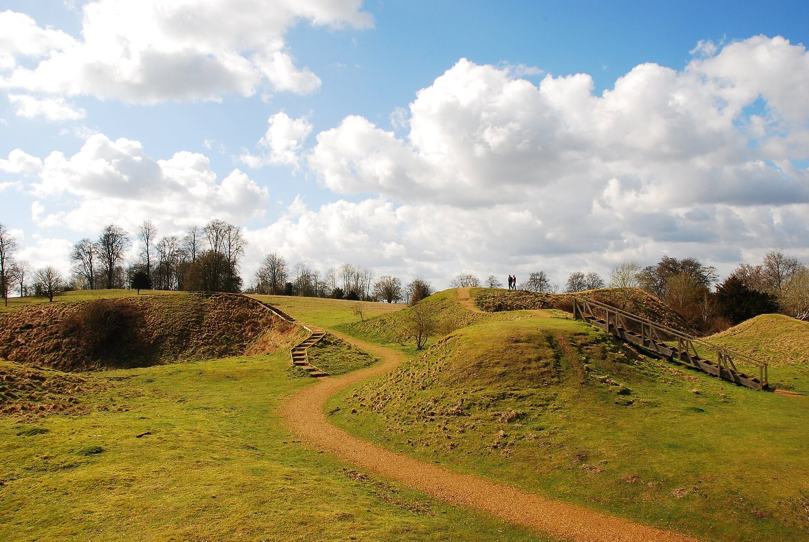
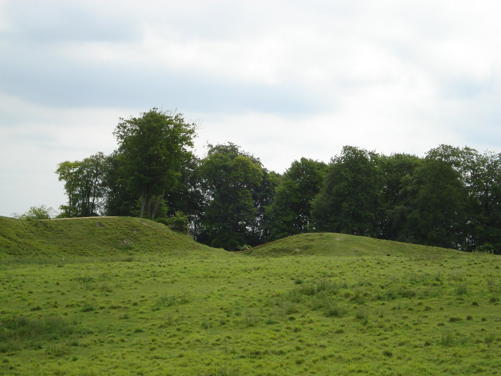
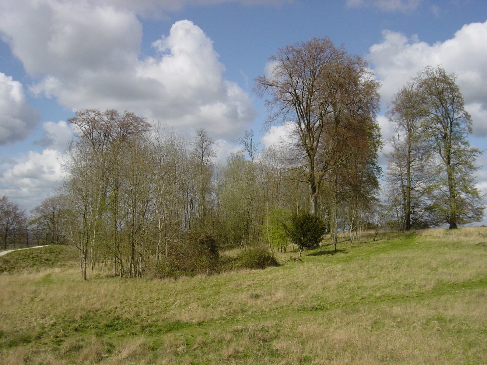
The enclosed fort covers about five hectares. Its layout developed from a single ditch with entrances to the east and southwest into a more elaborate arrangement of ditches and raised banks. The fort occupies a prominent hilltop in a comparatively level landscape. Danebury Hill rises to 143 metres above sea level, about 72 metres above the surrounding ground; its base is roughly 3.4 kilometres wide and covers about five square kilometres. The surrounding land rarely rises above 100 metres.
Wallop Brook runs west of the fort and flows southeast into the River Test. The territory around the hill included woodland, upland pasture, and light soils suited to cultivation, as well as access to river water. Nearby farmsteads generally covered one to two hectares.
Defences and entrances
Ramparts and ditches
The first defences, built around 550 BC, consisted of a ditch and a rampart, or raised defensive bank. Builders packed chalk rubble from the ditch and local clay inside a timber frame, creating a bank with a vertical face. At least fifty years later, they added chalk to raise the bank, an alteration interpreted as repair after the timber began to decay and the earthwork to collapse.
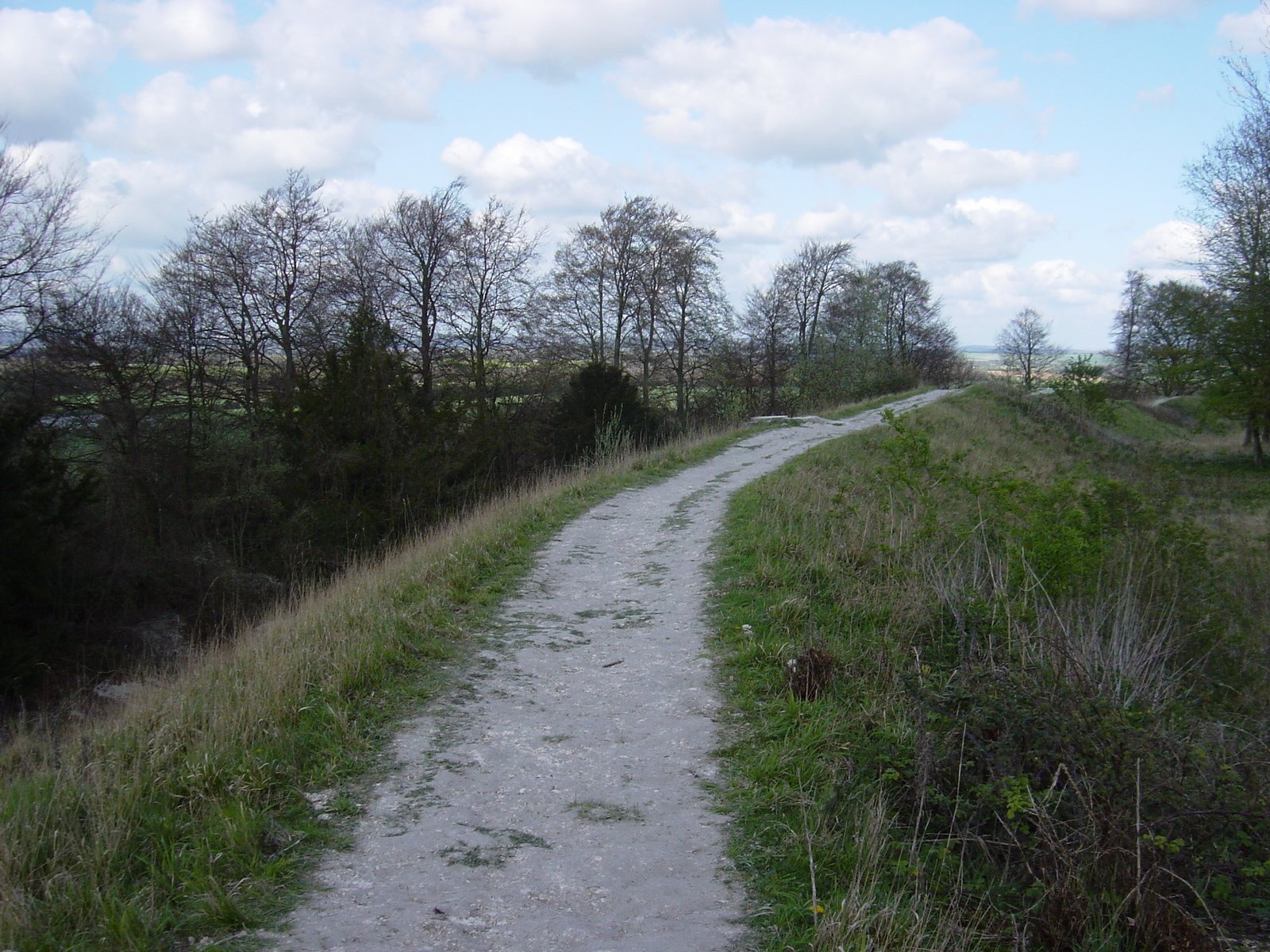
Around 400 BC, the rampart was raised again and the ditch recut. The later ditch had a V-shaped profile and measured six metres deep and eleven to twelve metres wide. The bank changed from a timber-framed structure to a sloping earthwork, probably topped by a dry-stone flint wall. The height from its top to the ditch bottom was about sixteen metres.
Eastern entrance
The original eastern entrance was a four-metre gap fitted with a timber gatehouse. It was later widened to nine metres. In the subsequent phase, the approach was lengthened and earthworks were added on both sides. Its long, curving form has been interpreted as a means of making an attack more difficult.
Southwest entrance
The southwest entrance formed the second opening in the early enclosure. Additional earthworks were later added there before the entrance was abandoned and filled in. Its narrowed approach, like the curved eastern approach, has been interpreted as a defensive measure.
Outer earthworks
Further earthworks beyond the earlier circuit added 5.3 hectares and created several lines of defence. They may also have been intended to protect livestock.
Buildings and storage
Northern storage area
In the northern part of the fort, four-post structures, probably used as granaries, were eventually replaced by storage pits. The pits formed part of a broader system for keeping food within the enclosure.
Southern settlement
The southern area contained roundhouses alongside granaries and storage pits. In a later phase, structures supported by four or six posts, probably granaries, took the place of the roundhouses. Excavations also revealed the remains of houses built from timber and woven branches.
Houses and central area
Houses were mainly located near the ramparts, while the centre of the enclosure was probably used for shrines. This arrangement has informed interpretations of how the settlement’s living and communal spaces were organized.
Animal remains and use
Some grain-storage pits contained deposits of animals that Cunliffe interpreted as having ritual meaning. Horses served as draught animals, while dogs guarded sheep, cattle, and pigs.
Excavated finds
Iron Age pit
The pit cleared in 1859 was about two metres deep and one and a half metres across. Its function remains uncertain.
Meteorite
An H5 ordinary chondrite, a type of stony meteorite, was recovered from a grain pit during excavation in 1974. It lay between two layers of fill and may have fallen into the pit rather than being placed there deliberately. A carbon-dating result associated with its context falls between 748 and 230 BC. The object was first classified as slag and identified as a meteorite about a decade later. It was held by Oxford University before being transferred in 2014 to the Hampshire County Council Arts and Museums Service.