Fort Nassau, Curaçao: A Dutch Coastal Defense Fort
Site at a Glance
- Country
- Curaçao
- Primary era
- Early Modern
- Eras represented
- Early Modern
- Civilizations
- Unclassified
- Site type
- Military
- Remains
- Fort
On this page5 sections
History
Fort Nassau is a Dutch colonial coastal fort on Curaçao, overlooking Schottegat, Willemstad’s harbor. Construction began in 1796 and ended in late 1797, as the island prepared to defend itself against attacks by the British Navy.
Construction and early attacks
Johann Lauffer, commander of the Military Committee and later governor of Curaçao, ordered the fort’s construction. It was first named Fort Republiek after the Batavian Republic, a short-lived republic in the Netherlands established in 1795 and replaced in 1806. The state contributed 60,000 florins toward the project. The chosen hilltop belonged to the Knip plantation, and local residents were reluctant to provide enslaved people for the building work.
In August 1800, French troops from Guadeloupe tried unsuccessfully to seize the fort. The French left Curaçao after an American warship arrived on September 22. In 1804, the British Navy, under Charles Brisbane, also attempted to take the island. The fort fired on the British, who withdrew.
British capture and Dutch return
Brisbane returned at dawn on January 1, 1807, when Dutch troops were sleeping or recovering from New Year’s Eve. The British captured Curaçao, and the fort was renamed Fort George. The 1815 Treaty of Paris provided for the island’s return to the Netherlands. After the British departed on January 28, 1816, the fort was renamed Fort Oranje Nassau, honoring the House of Orange, the Dutch royal dynasty. It was more commonly known as Fort Nassau.
Harbor and bridge-control roles
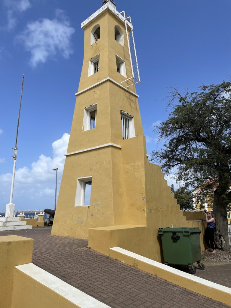
The fort ceased to serve a military purpose in 1825 and became a control tower for the Queen Emma Bridge, a floating bridge supported by pontoons. Since 1959, it has housed a restaurant. It also serves as a harbor lighthouse and control tower.
Remains
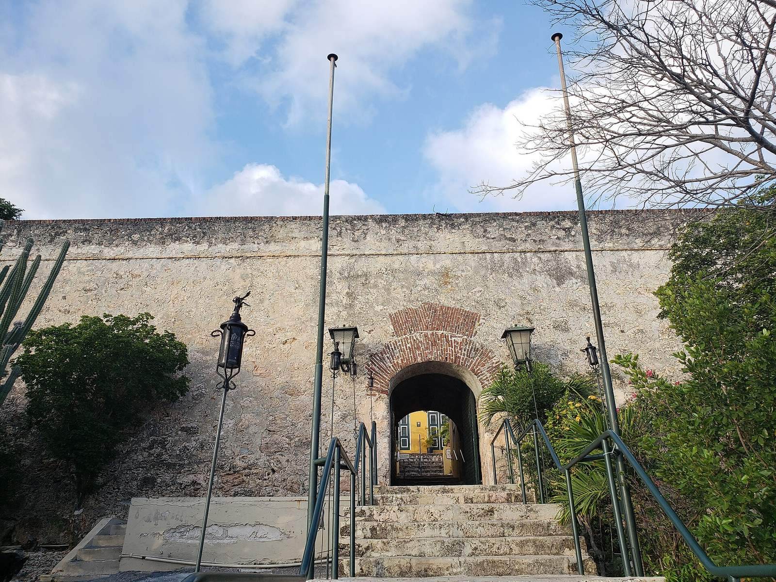
Fort Nassau stands atop Seru Sablica, about 68 metres above Schottegat. Its elevated position overlooks the harbor, St. Anna Bay, and part of Willemstad’s city center. The fort’s plan consists of a rectangular artillery position enclosed by a ring wall, and it remains largely in its original condition.