Gabrosentum Roman Fort: A Coastal Defense in Roman Britain
Site at a Glance
- Country
- United Kingdom
- Primary era
- Classical
- Eras represented
- Classical
- Civilizations
- Roman
- Site type
- Military
- Remains
- Fort
On this page11 sections
History
Gabrosentum Roman Fort was a Roman stone fort at Moresby in Cumbria, United Kingdom, built around AD 128 as part of the coastal defenses supporting Hadrian’s Wall. Construction followed the start of work on the Wall in AD 122. The Wall was a Roman frontier barrier in northern Britain, and Gabrosentum helped protect its western flank from coastal landings and crossings of the shallow Solway inlets.
Foundation and garrison
A building inscription associated with Legio XX Valeria Victrix, a Roman legion, points to the fort’s construction during the reign of Hadrian, emperor from AD 117 to 138. The fort formed part of a chain of military posts along Cumbria’s west coast, intended to guard against attacks from Ireland and Scotland. A detachment of the legion took part in its construction. Later, the Second Cohort of the Lingones and the Second Cohort of the Thracians, auxiliary units named for those peoples, were associated with the fort. Regular troops probably occupied it from no earlier than the middle of the second century. Its possible use as a station for the Roman fleet in Britain remains uncertain.
Later Roman use and settlement
Building inscriptions point to repairs by garrison units, apparently on a modest scale. Coins and the fort’s appearance in the Notitia Dignitatum, a late Roman list of imperial offices and military commands, indicate continued occupation into the late fourth or early fifth century. The coastal area belonged to Britannia Inferior in the late second century and Britannia Secunda from the fourth century; it may later have become part of Valentia after another administrative reorganization.
A civilian settlement, or vicus, probably grew around the fort and may have been occupied from about AD 128 to the late third or early fourth century. A harbor likely supplied much of the garrison’s needs, although its position is unknown. A Roman road probably connected Gabrosentum with the forts of Magis to the north, Derventio to the northeast, and Tunnocelum to the southeast.
Names and archaeological investigation
Late Roman and geographical texts preserve the names Gabrosenti and Gabrocentium for the site. The ancient name is interpreted as Celtic for "goat’s path." The local name Moresby appears in written records from 1160, in forms understood to mean "Maurice’s place" or "Maurice’s village." A farm or village probably developed there.
William Camden referred to Gabrosentum in 1637, and John Horsley described antiquities from Moresby in 1789. Earthworks exposed Roman masonry in 1822, coins came to light during roadworks between 1822 and 1840, and a Roman building was found south of the fort in 1859. Later excavation located the north gate and the foundations of the south gate, and may have identified part of the east wall. An excavation on the north side in 1951 revealed the fort ditch. Aerial photography in 1977 was followed by a geophysical survey in 1979.
Remains
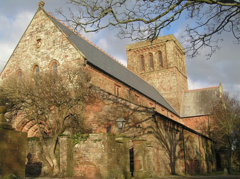
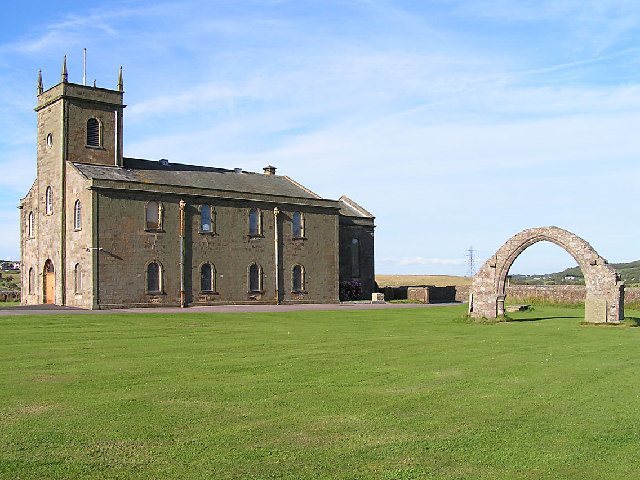
The fort occupied a plateau between the northern edge of Parton’s built-up area and Lowca Beck. The ground falls steeply to the north and west and more gently to the south, with views toward the Solway Firth, the Scottish coast, and the Isle of Man. The stone fort had a rounded-corner rectangular plan, aligned west to east, measuring about 109 metres north to south by 122 metres east to west and covering approximately 1.41 hectares. Its area now includes pasture and St Bridget’s cemetery, with the church in the northeastern part of the former fort.
Walls and defenses
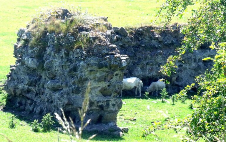
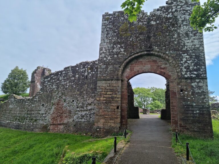
Surviving wall sections are most substantial on the west and south sides, reaching about four metres at the southwest corner and about three metres at the northwest corner. Other surviving sections rise to roughly one metre. Stones from the fort wall remain visible at the southwest corner. A low earthen rampart survives within the churchyard, and the rampart and corner remains are better preserved on the west side. Geophysical survey traced a V-shaped ditch about 3.3 metres wide for roughly 30 metres. It runs north to south and bends slightly west at its northern end. The fort probably had four gates, square towers set against the inner face of the walls, and a tower at each corner.
Interior and nearby buildings
The fort’s interior has been levelled. Its planned buildings likely included a central headquarters, a commander’s residence, granaries, barracks, a bathhouse, workshops, bakeries, and a latrine. Remains of underfloor heating near the north wall suggest that either a bathhouse or the commander’s residence stood there. Small stone columns exposed by looters may have supported a heated floor. A Roman road was found south of the fort.
Civilian settlement and burial evidence
A Roman building found south of the fort in 1859 probably belonged to the civilian settlement. Drainage work farther south exposed foundations measuring 9.4 by 4.7 metres, also thought to be part of that settlement. A gravestone from Ingclose Field, east of Moresby Hall, commemorated a soldier of the Second Cohort of the Thracians and points to a cemetery near the fort.
Inscriptions and finds
Inscriptions and altars
At least ten Roman inscriptions have been found in Moresby, including several altars. One was dedicated to Silvanus, a Roman woodland deity; another honored Jupiter Optimus Maximus, the highest-ranking Roman state god, and probably stood in the fort headquarters. A damaged inscription commemorates the completion or rebuilding of a pediment, the triangular upper part of a building façade. A fragment found in 1586 names a centurion and Severinus and appears to refer to a completed work assignment, though the task and Severinus’s military status are uncertain.
Coins and other objects
Coins from the fort span the second to fourth centuries. Coins recovered during roadworks between 1822 and 1840 were associated with Domitian, Carausius, Constantine I, Constantius, and Constans. A spearhead was found in 1892, and an excavation in 1951 recovered a fragment of post-Roman pottery.