Bratton Castle: An Iron Age Hillfort in England
Site at a Glance
- Country
- United Kingdom
- Primary era
- Iron Age
- Eras represented
- Iron Age
- Civilizations
- Unclassified
- Site type
- Military
- Remains
- Fort
On this page12 sections
History
Bratton Castle, also known as Bratton Camp, is an Iron Age hillfort, an enclosed fortified site, in Bratton, England, United Kingdom. The site is also associated with the Bronze Age.
Early descriptions
John Aubrey visited the fort and described it in Monumenta Britannica, including a sketch. The Westbury White Horse, a large hillside figure, was first documented in 1742.
Antiquarian excavations
Before 1775, Jeffery Whittaker excavated the hillfort in what is considered one of Wiltshire’s earliest archaeological investigations. The work was poorly recorded, and Roman and Saxon coins were believed to have been found near the fort. William Cunnington and Sir Richard Colt Hoare later excavated and recorded three burial mounds within and around the enclosure.
Remains
Enclosure and defences
Layout and ramparts
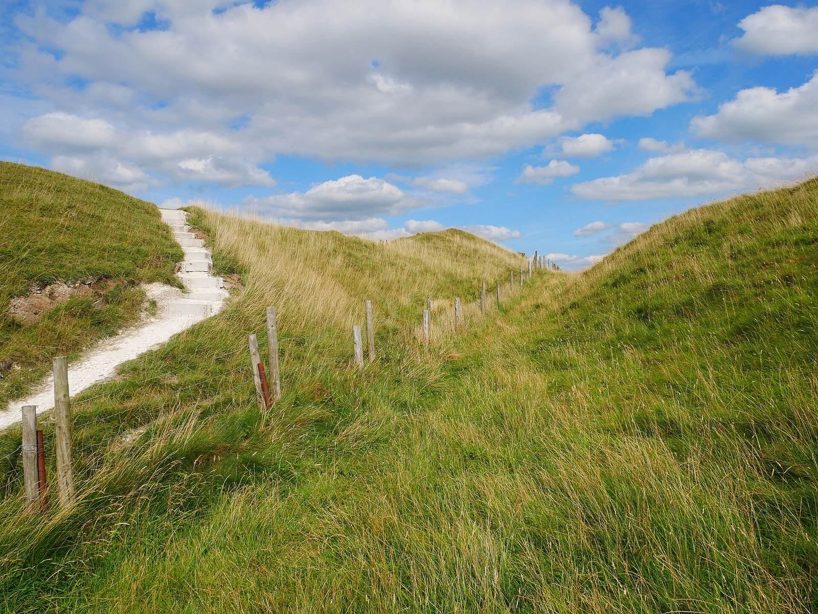
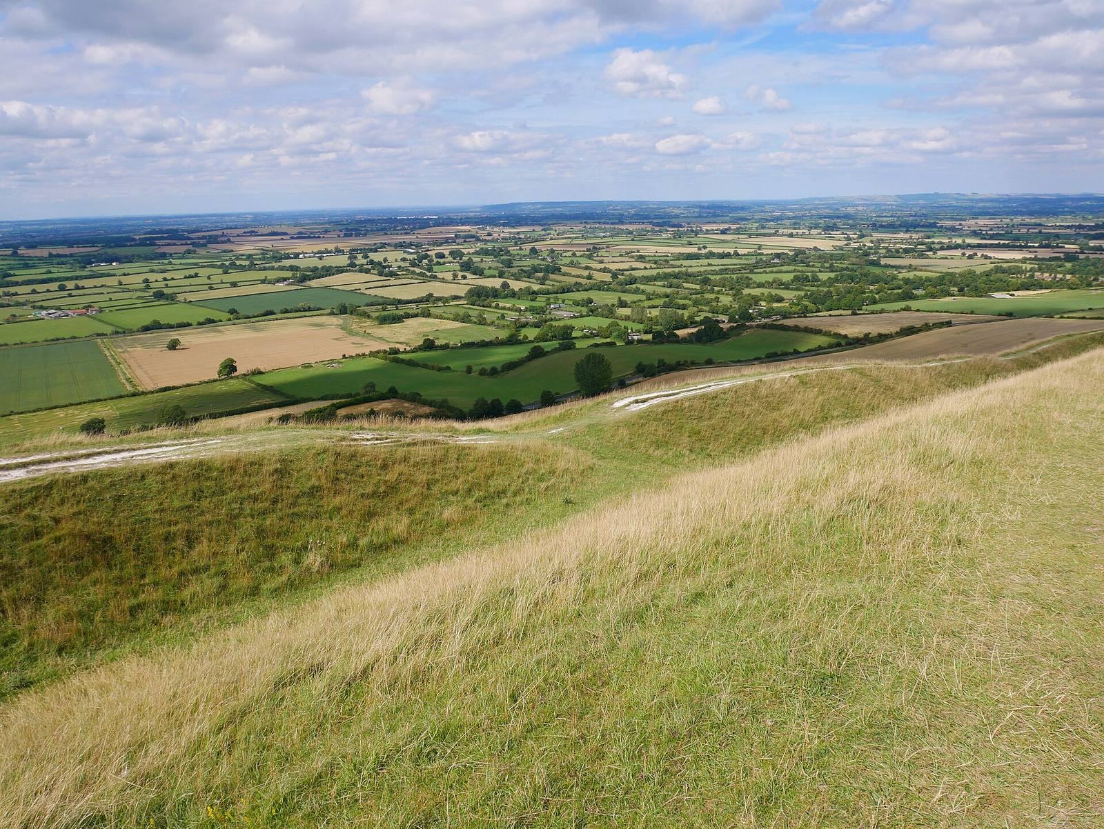
The hillfort occupies Bratton Down at the western edge of the Salisbury Plain escarpment. Its summit is 225 m above Ordnance Datum, Britain’s reference level for elevations. Two circuits of banks and ditches enclose a pentagonal area of about 9.3 hectares. Along the short western and long northern sides, the defences follow steep slopes. The ditches step down the hillside, and the ramparts rise 5 m and 6 m above their bottoms; together, the defences span 30 m. The southern side and the southern half of the eastern side cross the down. Here the ramparts are roughly equal in height, and the defences are also 30 m wide.
Entrance and altered defences
The northern half of the eastern side crosses the head of a valley. Quarrying, landslips and a farm track have largely destroyed the outer rampart and ditch in this area, while quarrying has also affected ground inside the fort. On the short north-eastern ridge, followed by Port Way, a possible original entrance is formed where the ramparts separate into a small annexe. The Westbury White Horse lies on the fort’s western side. The site’s overall condition is good.
Early description
The 1695 edition of Camden’s Britannia, a historical survey of Britain, described the fort as oval. Edmund Gibson drew on information from local antiquary Thomas Tanner. The account described two entrances with outer defensive works: one to the south-east, opening onto the plain, and another to the north-east, leading towards Edington. It also noted a large oblong mound near the fort’s centre, about 60 paces long, and suggested it might be the burial place of Danish nobles killed there. The same description mentioned old iron armour ploughed up within the earthworks.
Burial mounds
Bratton G1
Bratton G1 is a long burial mound. It contained two primary cremation burials, made after the bodies were burned, on a platform, along with a pile of pebbles and a chalk bead covered with material described as “vegetable earth.” Pottery and animal bones were found at depths of four and five feet. Three secondary inhumations, burials of unburned bodies, lay near the mound’s top.
Bratton G2
Bratton G2 is a bowl-shaped burial mound. It contained two cremation urns, one placed inside the other, and a deposit of burnt bones. The larger urn was broken. The better-preserved smaller urn, which holds about three pints and has a projecting perforated handle, is held at the Wiltshire Heritage Museum.
Bratton G8a
Bratton G8a is a small round mound less than one foot high. Its circular cist, a small burial chamber, contained a crouched skeleton. The skull is held at Cambridge Museum.