Sheikh Nuran Grave: A Muslim Shrine in Magen, Israel
Site at a Glance
- Popularity
- Low
- Country
- Israel
- Primary era
- Modern
- Eras represented
- Bronze Age, Classical, Medieval, Modern
- Civilizations
- British, Byzantine, Ottoman
- Site type
- Religious
- Remains
- Tomb
On this page12 sections
History
Sheikh Nuran Grave is a Muslim shrine in Magen, Israel, commemorating a figure whom Bedouin tradition regarded as a healer of incurable illnesses. Some traditions place Sheikh Nuran’s life in the late fifteenth century, though the date is uncertain. Accounts differ about his religious identity: some called him a prophet of Israel, while others placed him after the time of Jesus; most described him as a prophet rather than a messenger. The shrine’s original building date is also unclear. Its construction methods are associated with late-nineteenth-century Palestinian buildings, and it was rebuilt in 1917–18.
Early Settlement and Competing Identifications
Authorities of the Byzantine Empire, the eastern continuation of the Roman Empire, established a settlement on the hill during the fifth and sixth centuries, making use of its defensive position. Earlier settlement in the area has also been linked to the Roman frontier, the empire’s border region in Palestine.
Several proposals connect the hill with places known from biblical or Byzantine-era traditions, but they have not gained broad acceptance. In 1924, the biblical archaeologist William Foxwell Albright suggested that the site was Bethuel, a place assigned to the tribe of Simeon, on geographical grounds. Another proposal identifies it with Ezem, also associated with Simeon, interpreting the name as meaning “strength.” The traveler Alois Musil linked the site to a Byzantine settlement shown near Rafah and the coast on the sixth-century Madaba Map; Albright accepted Musil’s identification, while most researchers and archaeologists disagreed. A separate linguistic suggestion compares Nuran with the name of a nearby Byzantine Christian settlement meaning “lamp” or “light.”
Bedouin Devotion and the Shrine
From the second half of the eighteenth century, as Bedouin communities moved into the western Negev, the hill became a burial place. People were buried near the shrine in the belief that the “righteous sheikh” would protect them. In 1933, historian Aref al-Aref described Bedouin visits on holidays and by people seeking blessings. Visitors made vows and sacrifices, and families brought newborn children in the hope of securing them long lives.
Some accounts connect the shrine’s building form with the arrival, beginning in 1882, of semi-settled Bedouin communities from Egypt and the Gaza area. These communities engaged in agriculture and were encouraged by Ottoman authorities, who governed the region through the First World War. Related regional settlement developments included Beersheba in 1901 and Auja al-Hafir, now Nitzana, in 1912.
First World War and Reconstruction
During the First World War, Ottoman forces fortified the ridge with trenches and bunkers and established a camp east of it near the Shalala springs in Wadi Besor. In April 1917, the British-led Egyptian Expeditionary Force advanced from the Gaza area toward the springs. Its commander, General Edmund Allenby, ordered artillery fire that partly destroyed the shrine. Ottoman forces then demolished the remainder to prevent the British from using it as an aiming point. After the British occupation, Allenby directed its reconstruction, reportedly to avoid offending Bedouin religious feeling. The work took place in 1917–18.
A railway between Rafah and Beersheba was built in 1917–18 and operated until 1927. In 1918, a delegation from the Zionist Organization, an international body that promoted the establishment of a Jewish national home, visited the shrine area during a survey of possible land purchases in the Negev. The wider acquisition plan did not proceed after a later British White Paper, a government policy statement on Palestine.
Fighting in 1948 and Later Use
Egyptian forces held the hill in November 1948. Israeli forces captured it during Operation Asaf, a military operation in the 1948 Arab-Israeli War, between 5 and 7 December after three days of fighting. The Israeli units included the 13th Battalion, a military unit, of the Golani Brigade and the 89th Battalion of the 8th Brigade, a larger formation also known as the Yitzhak Sadeh Brigade. The shrine served as an artillery aiming point during the battle.
Kibbutz Magen, a communal settlement, was established on 16 August 1949 on land around the shrine and at the hill’s eastern foot, on the remains of the Sheikh Nuran outpost. The hill later served as an observation point toward settlements in the Eshkol Regional Council area and southern Gaza. In the 1950s, a searchlight was installed above the observation position to help guard against incursions from Gaza. The site was declared an antiquities site in 1964 and was also identified as a protected archaeological site by Israel’s Council for the Preservation of Heritage Sites.
Remains
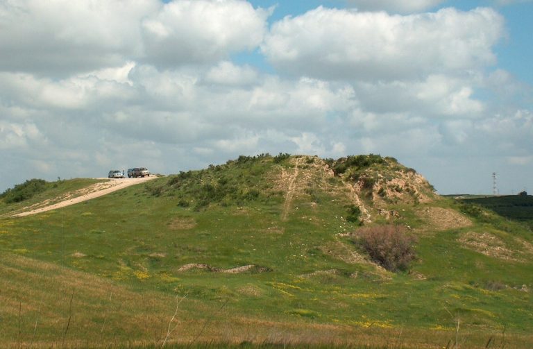
The shrine stands on a kurkar hill, a locally occurring calcareous sandstone formation, 135 metres above sea level. The hill is about 40 kilometres west of Beersheba and is the highest point in the Besor region and surrounding area. The building is larger than is usual for a Palestinian maqam, a Muslim shrine associated with a revered figure. Its main chamber contains a grave.
The Shrine
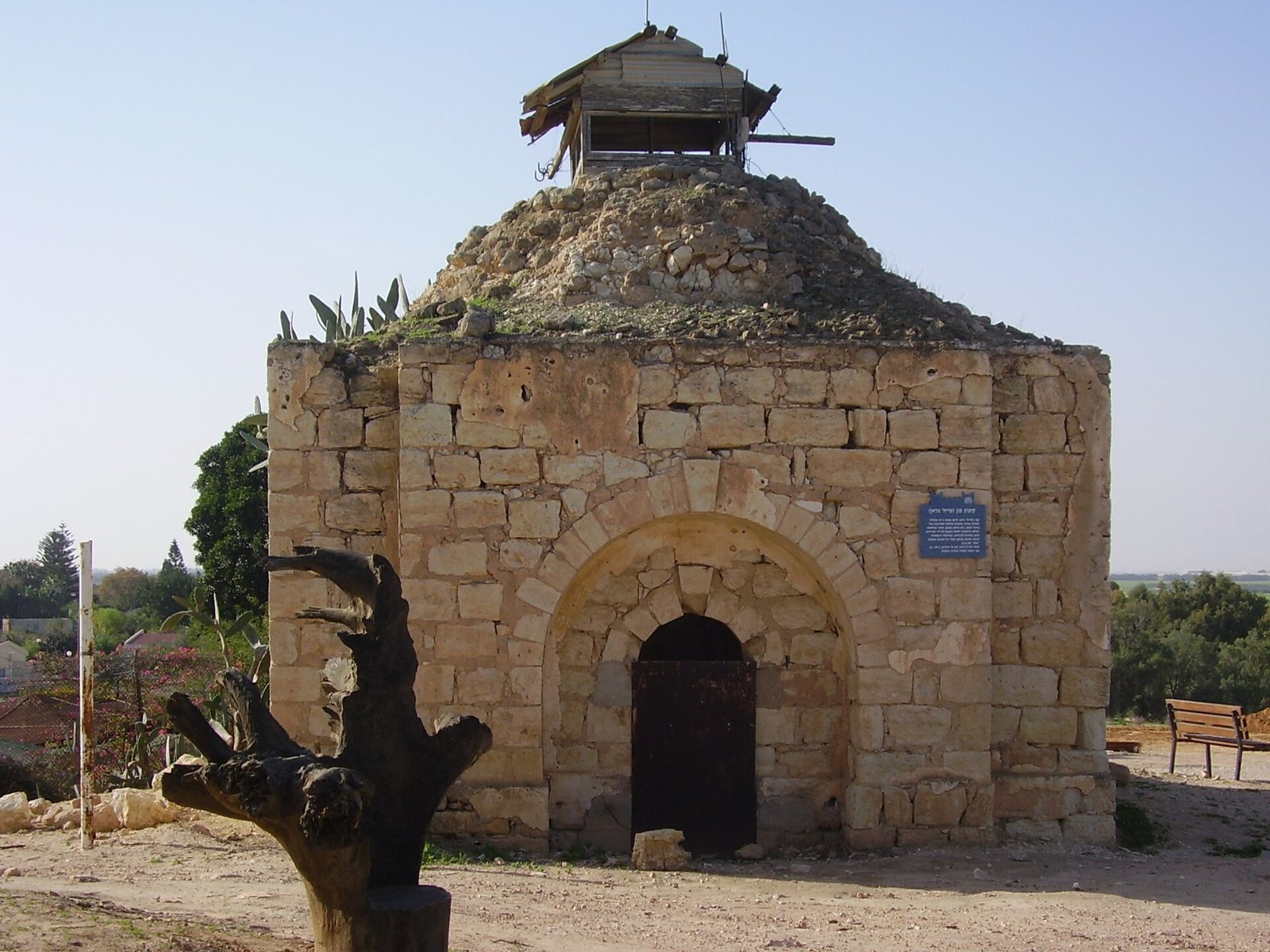
Thick walls form the main structure. Some of their stones may have been dressed in Byzantine times and brought from outside the area. The building’s construction resembles methods used in late-nineteenth-century Palestine. Its original form had a rounded, symmetrical dome and paired arches over openings. Rough stones formed a thick core, faced with dressed stones that appear to have been gathered from nearby archaeological sites and laid in courses without mortar. Comparable building methods occur in other preserved structures in the northern Negev.
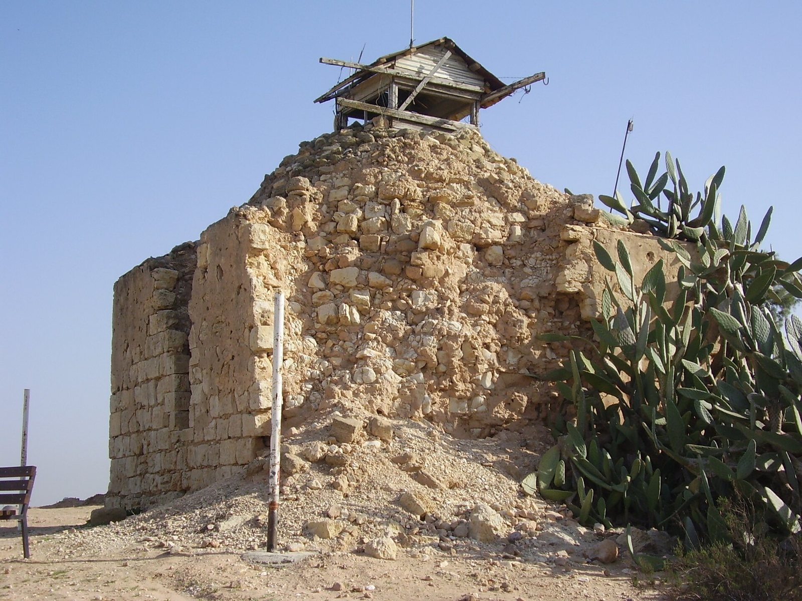
By 2021, most of the dome had collapsed, and an observation and guard post occupied its former position. Parts of the southwest walls had been destroyed or were crumbling after bombardment. The Israel Antiquities Authority had fenced the site because of the danger from falling stones and collapse.
Archaeological and Landscape Features
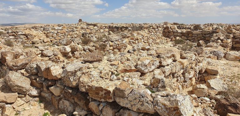
Byzantine Remains and Church
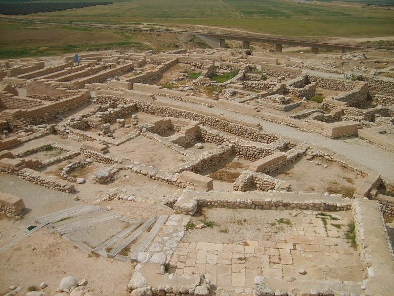
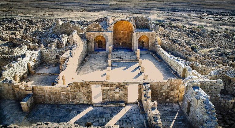
Remains of Byzantine-period buildings and mosaic floors lie around the shrine, with further remains southwest of the hill. A church excavated in 1977 stands about 300 metres southwest. Its decorated mosaic floors include geometric patterns and dedicatory inscriptions.
Finds from Earlier Periods
Archaeological surveys on the hill recovered Paleolithic flint tools, including hand axes, as well as a Middle Bronze Age tomb dated to the sixteenth or seventeenth centuries BC. Iron Age pottery dates to the eleventh or twelfth centuries BC. Finds from the Byzantine period include coloured mosaics and pottery dating from the fifth to seventh centuries. Pottery recovered beneath and near the shrine made it possible to reconstruct jars and bowls in full.
Burials, Stonework, and Water
Muslim graves on the hill date to the nineteenth and twentieth centuries. A children’s cemetery and a well were also located nearby. Carved marble panels, Byzantine column capitals, and bases made of white marble were found near the site. A Greek inscription was reused in one of the shrine’s walls. The hill formerly lay within the territory of the Tarabin Bedouin tribe.
Railway and Wartime Landscape
The railway route passed north of the hill, which presented a topographical obstacle. Sheikh Nuran station lay west of the shrine, while another station served the Wadi Besor area to the east. A memorial to Operation Asaf stands at the eastern foot of the hill. A 1919 aerial photograph shows grave markers on the slopes, Ottoman trenches, water-storage pits, and a British aircraft landing strip northwest of the hill. It also records a Red Cross rail carriage on the lower slopes and Byzantine remains southwest of the hill.