Aguateca: A Maya Dynastic Center in Guatemala
Site at a Glance
- Popularity
- High
- Country
- Guatemala
- Primary era
- Medieval
- Eras represented
- Medieval
- Civilizations
- Maya
- Site type
- City
On this page15 sections
History
Aguateca was an ancient Maya city on a limestone bluff above Petexbatun Lagoon in Guatemala’s southwestern lowlands. Its earliest settlements date to the Late Preclassic, an early period of Maya history, around 300 BC to AD 350. The center was occupied from about 200 BC until an attack around AD 800, and the city was abandoned by about AD 830. Aguateca and nearby Dos Pilas served as paired capitals of a dynasty that claimed descent from the rulers of Tikal, a major Maya center in what is now Guatemala.
The dynasty’s shift to Aguateca
Around AD 700, Dos Pilas rulers 3 and 4 appear to have redirected the dynasty’s focus toward Aguateca. By AD 761, the rulers of Dos Pilas had left that city and relocated to Aguateca, shifting the seat of dynastic power.
The move was followed by rapid growth. Aguateca became a large, densely populated center, drawing people who may have come from the Pasión region as well as from farther away. The influx was probably connected to the dynasty’s political influence and its need for workers to build temples, palaces, and causeways. A larger population may also have helped the royal family and elite maintain control over the city.
Warfare and abandonment
Near the end of the Late Classic, a later period in Maya history, defensive works were hastily added as regional warfare intensified. During the reign of Tan Te’ K’inich, Aguateca was invaded and burned. An attack around AD 800 appears to have triggered the city’s destruction. Conflict between groups, changing climate, and environmental pressures had already contributed to unrest, but warfare ultimately brought the center down.
The ruling elite seems to have been the attackers’ main target, as they sought to end Aguateca’s political and economic influence. The royal family apparently emptied the palace and left before the assault, perhaps expecting to return, while some other elite residents seem to have stayed. People fled or were taken away, leaving many possessions behind. The attackers did not settle in the city, which was soon deserted. Communities beyond the center withdrew more gradually, probably soon after the attack, taking most of their belongings with them.
Life in the royal center
Aguateca’s households combined domestic tasks with political and artistic work. Residents prepared and ate food, received visitors, held political gatherings, and carried out scribal and artistic activities. Different rooms may have served different purposes, although proposed divisions of work between male and female residents remain uncertain. Food storage and preparation appear to have been organized at the household level, with differences in capacity likely reflecting household size, status, or access to resources.
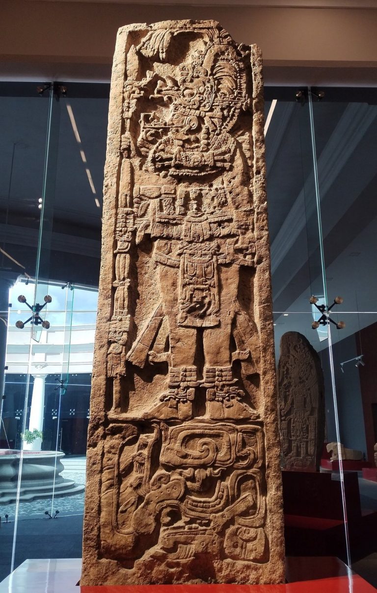
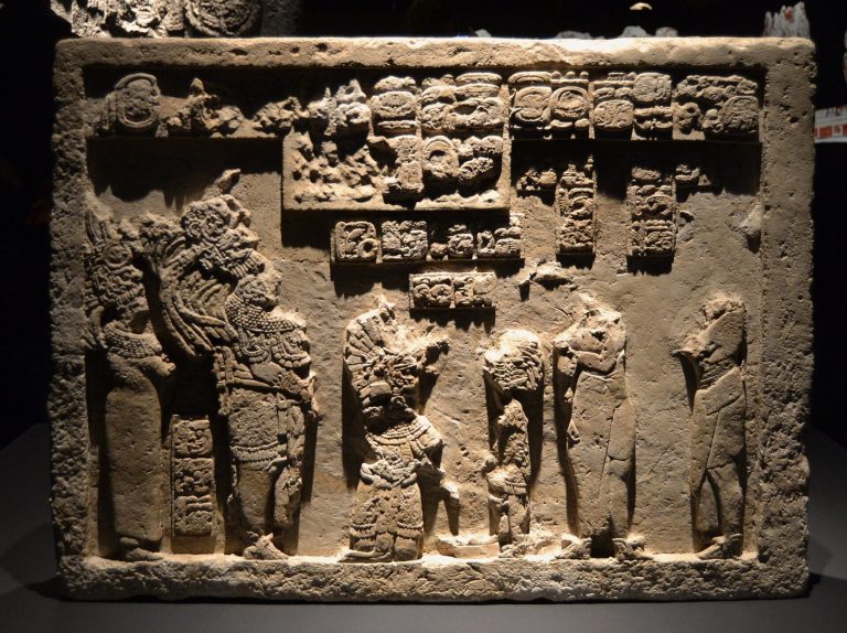
Rulers used public performances and stone monuments to bring communities together around the royal court. The Main Plaza and other open spaces hosted large gatherings on ceremonial occasions. Plazas of different sizes may have shaped who could attend particular performances, allowing some people closer access than others. Ceramic paintings showing palace gatherings suggest that certain political meetings may also have been staged for observers, even when those observers could not enter the rooms where they took place.
Elite men and women, including courtiers and members of the royal family, made luxury goods, weapons, and useful household objects. Their work included carving wood, processing hides and leather, and producing bone and shell items. Some households appear to have specialized in particular crafts, such as carving stone monuments for rulers. Elite women probably also participated in artistic work, including stone carving alongside noble men.
The ruling court controlled Aguateca’s principal access to obsidian, a volcanic glass that can be shaped into sharp blades. Its acquisition and distribution may have been managed as part of the dynasty’s political economy. Rulers, scribes, and artists possessed more and larger blades than people living in smaller homes, while the material’s presence points to long-distance exchange. Animal foods and materials also varied by social rank. Elite households had greater access to valued resources such as marine shells and wild cats, including jaguars, margays, and ocelots, whose pelts, teeth, and claws could be used. Deer, turtles, dogs, agoutis, pacas, peccaries, large birds, and river fish also supplied food or materials.
Farming took place under difficult conditions, with shallow sloping soils and unpredictable weather. Soil carbon-isotope patterns indicate ancient growth of C4 plants, a group that uses a distinct photosynthetic pathway and includes maize. Residents probably grew maize in nearby seasonal wetlands and fertile limestone depressions and lower slopes. Stepped ground in some depressions may have served as natural terraces, and these cultivated areas may also have held political importance.
Warfare affected the royal family and elite scribes and artists as well as the wider population. Spear and dart points were used in conflict between groups and also had a place in craft production under the threat of violence. They were more important than bows and arrows, although notches on some points indicate that bows were used too. Conflict between valleys may have helped shape complex societies such as Aguateca.
Remains
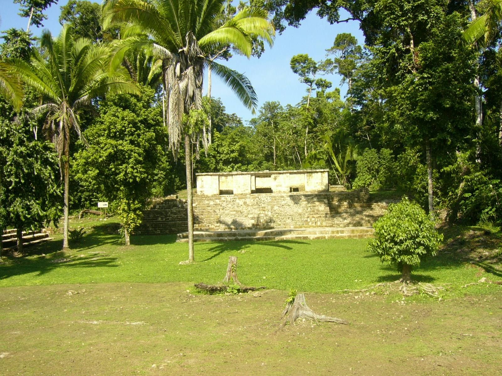
Aguateca’s surviving layout combines a defensive perimeter with a dense urban center. The Palace Group and Main Plaza formed its central monumental area, joined by a causeway, with closely spaced elite residences along the route. The city’s limestone setting and extensive walls shaped both its organization and its defenses.
Setting and urban layout
The bluff and defensive walls
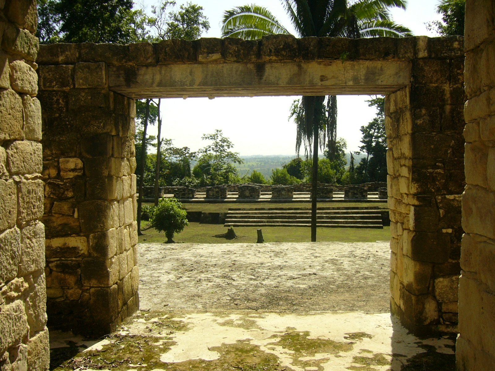
The city stands on top of a limestone bluff about 90 m high above Petexbatun Lagoon. Its steep position offered natural protection, while boats provided a route to the site. An extensive system of defensive walls surrounded the city and ran for more than 4.8 km.
The central complexes and causeway
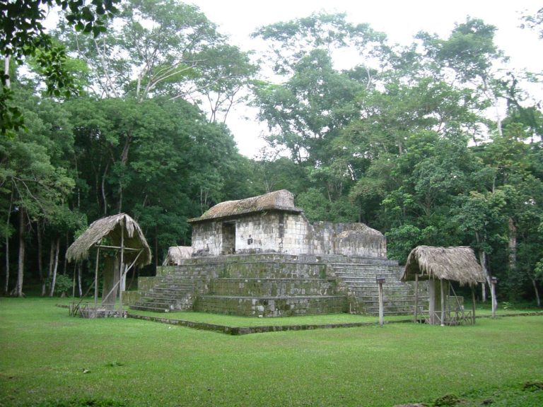
The Palace Group and Main Plaza were connected by a causeway, alongside which elite housing was densely arranged. Aguateca had a greater concentration of structures than most other Maya lowland sites, forming a closely occupied center around its monumental complexes.
The Main Plaza and other plazas
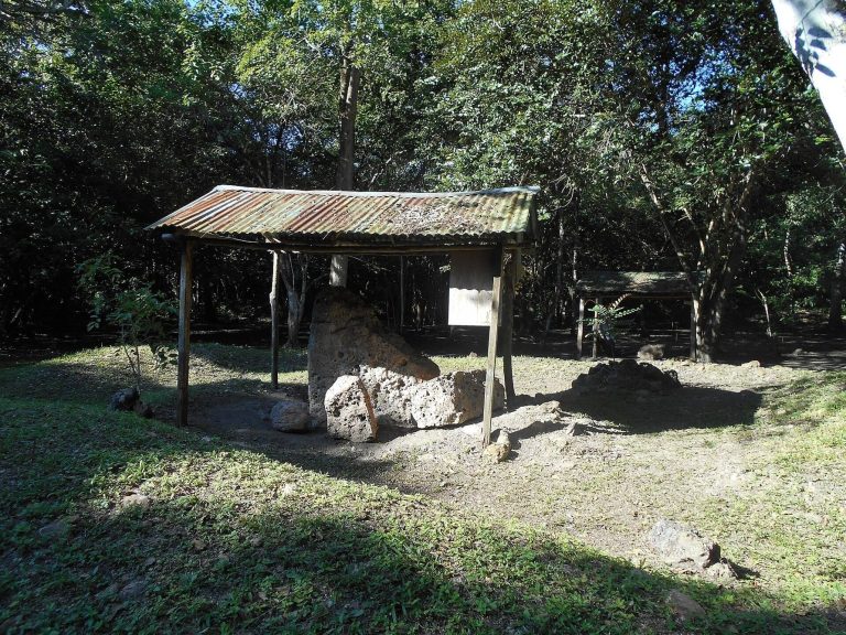
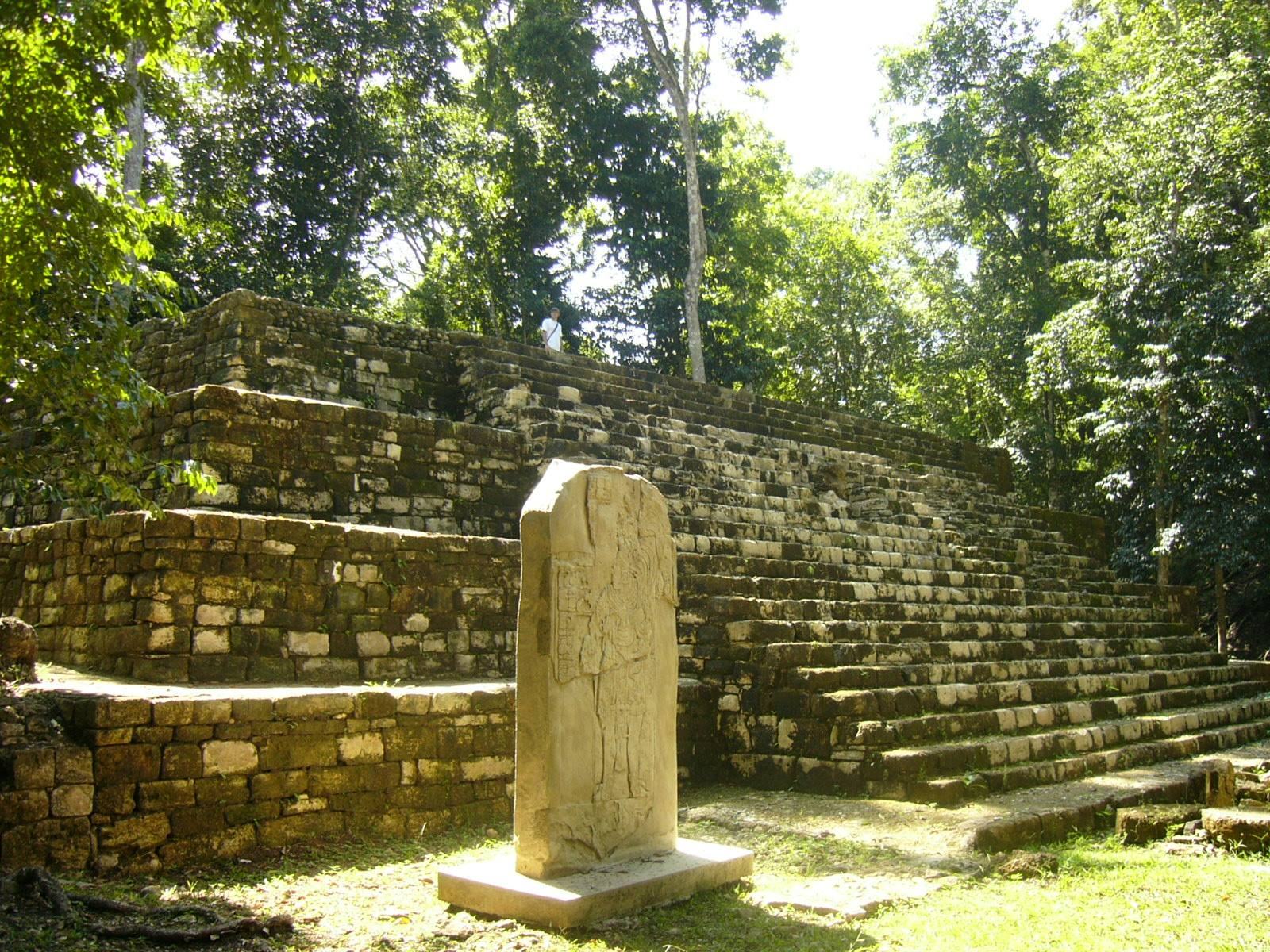
The Main Plaza was broad enough for a substantial gathering and contained numerous upright stone monuments, including representations of rulers. Open spaces of varying sizes formed a wider network of public areas across the site.
Buildings and household evidence
Elite residences
Elite homes generally had three principal rooms, with smaller additions. Central rooms could receive visitors and support scribal work, while food and ritual objects were stored there. Grinding equipment in a main room indicates that food was also prepared in the houses. Finds include serving vessels, grinding stones, and a range of other stone tools.
Obsidian blades, probably used for bloodletting, and stone mortars for preparing pigment were also found in elite residences. One room contained seven bone needles and seven spindle whorls, weighted discs used to spin thread. Their position suggests that textile work took place in or just outside the room. Burned artworks include pieces representing the Jester God, a scholarly name for a Maya image associated with royal authority.
The unfinished temple
A temple about 6 m high was left incomplete. Its unfinished state provides evidence for Maya building methods and the organization of construction work.
Objects from the Palace Group
Valuable objects left in the Palace Group included greenstone beads, carved alabaster, and shell ornaments. These finds preserve evidence of the materials and objects present in the complex.
The Main Chasm
A natural fissure and ritual setting
The Main Chasm is a natural fracture in limestone that runs northeast to southwest through the site. It extends about 850 m, reaches depths of 10 to 70 m, and varies from 1.5 to 15 m in width. Wind instruments were played and fires burned inside it as part of practices connected with ancestral and supernatural spirits. The fires may have included copal, an aromatic tree resin used as incense; its dark smoke could evoke rain clouds during ceremonies seeking rain. Maya beliefs associated wind with rain, and such ceremonies could also express hopes for dynastic prosperity and power.