Arch Creek: A Historic and Archaeological Site in North Miami Beach
Site at a Glance
- Rating
- 4.7
- Popularity
- Low
- Country
- United States
- Primary era
- Unclassified
- External website
- Open
- Eras represented
- Unclassified
- Civilizations
- Unclassified
- Site type
- Infrastructure
- Remains
- Bridge
On this page9 sections
History
Arch Creek is a historic and archaeological site at 1855 NE 135th Street in North Miami Beach, Florida, United States. Indigenous peoples, including the Tequesta, used the area for centuries before European colonization in the early sixteenth century. The site later became known for its natural limestone bridge, which carried a military trail during the Seminole Wars, a series of nineteenth-century conflicts between the United States and Seminole communities in Florida.
Indigenous landscape and military trail
The Tequesta lived along the southeastern Florida coast and in the Miami area before and during early European colonization. In the nineteenth century, General Abner Doubleday, a United States Army officer, blazed a military trail between Fort Lauderdale and Fort Dallas on the Miami River. The route crossed Arch Creek over the natural limestone bridge, connecting the site with military activity during the Seminole Wars.
Railroad community
Henry Flagler’s Florida East Coast Railway reached Arch Creek in 1895 as the line extended southward along Florida’s eastern coast. The railroad brought settlers and visitors, particularly from the eastern United States. Early European-American families cultivated tomatoes and pineapples, and a depot was established in 1903. A packing plant, sawmill, post office, and school followed.
By 1910, Arch Creek had become a destination for tourists and community gatherings. The local shell house sold souvenirs, postcards, and refreshments, while weekend barbecues reportedly drew as many as 500 people. By 1912, the community included eighteen homes, a church, a general store, a blacksmith shop, and two tomato-packing houses. Its population reached 307 by 1920.
Development and municipal change
The Biscayne Canal was dug in 1924 to reduce flooding on farmland. During the Florida land boom of the 1920s, parts of Arch Creek were divided into residential lots and marketed to tourists from the northern United States. On February 5, 1926, the incorporated Town of Miami Shores was established by a vote of 38 registered voters. A destructive hurricane in September of that year halted land sales, although a $287,000 bond issue financed a new city hall in 1928.
The Arch Creek school burned in 1927 and was replaced the following year by the W. J. Bryan School. Miami Shores retained its name until 1931 and became part of the City of North Miami in 1952.
Preservation and park formation
In 1957, a flood-prevention plan threatened the natural bridge. The Army Corps of Engineers considered destroying the bridge or rerouting the creek, but local conservation and historical organizations opposed the proposal. The bridge survived that threat, although it later faced development pressure.
During the 1970s, the Chrysler Corporation acquired the property and planned an automobile showroom and a new- and used-car agency. A 1972 zoning request would have allowed the land to be paved and a garage to be built. Conservation, archaeological, neighborhood, and local preservation groups opposed the plans. Florida then purchased 7.9 acres east of the creek through the State’s Land Acquisition Trust, which allocated $822,000 for the acquisition.
In February 1973, local citizens who later formed the Arch Creek Trust traveled to Tallahassee to complete the purchase. On the night they returned, the natural bridge collapsed into the creek. Local residents suspected sabotage, and the Metro-Dade Police Bomb Squad investigated, but found no evidence. The collapse was later generally attributed to a combination of vibration from passing trains, erosion, age, and decay.
Dade County leased the land from Florida in 1978 and began developing it as a passive recreation facility. Cleanup and construction produced a museum and nature-study center, while the Youth Conservation Corps created a nature trail. Arch Creek Park was formally dedicated on April 25, 1982. The Arch Creek Historic and Archaeological Site was added to the U.S. National Register of Historic Places on July 15, 1986, under reference number 86001700.
In 1992, the Arch Creek Trust and the Trust for Public Lands acquired another 1.5 acres at the park’s northern end through the Environmentally Endangered Lands Program, bringing the park to 9.4 acres. A 1994 grant supported a butterfly garden on the added land. In 2018, Florida International University’s Biscayne Bay Campus proposed a paved vehicular crossing for campus access and an emergency route. The proposal passed in the Florida Senate but met strong opposition from people seeking to protect the reserve. Arch Creek Park is the only preserved archaeological site in Miami-Dade County and supports historical, archaeological, and botanical study.
Remains
Natural bridge and creek
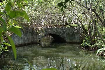
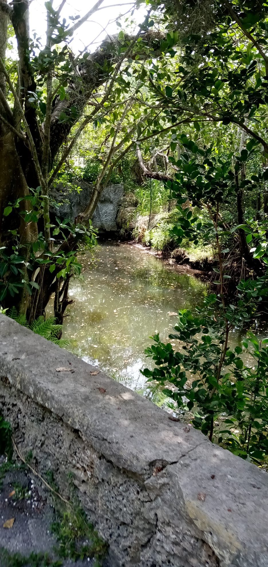
Arch Creek Park occupies 9.4 acres, approximately 38,000 square meters, at the junction of Northeast 135th Street and Biscayne Boulevard. Its name comes from the natural limestone bridge that once spanned a freshwater creek flowing from the Everglades toward Biscayne Bay. The bridge was about 40 feet, or 12 meters, long and remained in place until its collapse in 1973.
The bridge consisted of porous oolitic limestone, a rock formed largely from small, rounded carbonate grains called ooids. Oak roots from trees growing on both banks were interlaced with the stone. Before the collapse, trees near both ends had been removed, apparently eliminating roots that may have helped support the limestone. The bridge had also been closed to vehicles by drilling rows of large holes through the road at both ends and inserting discarded wooden railroad ties. The collapse occurred along these two rows of perforations.
Museum and nature center
The park’s museum and nature center was modeled on an early Florida pioneer home. It displays Indigenous artifacts excavated from the grounds and contains live animals from the nearby hammock, a relatively elevated wooded community within southern Florida’s wetlands and lowlands.
Hammock, trail, and northern addition
A nature trail passes through the hammock area, where more than 500 trees were planted during the park’s development. Across the creek, remains of the original coontie mill are visible. The mill processed coontie, a native Florida cycad whose starchy underground stems were historically used to produce a flour-like meal.
The northern addition contains a butterfly garden planted with native species that attract butterflies. This 1.5-acre tract forms part of the park’s present 9.4-acre area, while the original state acquisition covered 7.9 acres.