Parkin Archeological State Park: A Late Mississippian Village in Arkansas
Site at a Glance
- Rating
- 4.8
- Popularity
- Low
- Country
- United States
- Primary era
- Early Modern
- External website
- Open
- Eras represented
- Medieval, Early Modern
- Civilizations
- Mississippian
- Site type
- Military
- Remains
- Fortified Town
On this page8 sections
History
Parkin Archeological State Park is a Late Mississippian archaeological site and state park in Parkin, Arkansas, United States. Indigenous Mississippian people occupied and developed the palisaded village from about 1350 to 1650 CE, with most recovered artifacts dating from approximately 1400 to 1650. The settlement is associated with the Parkin phase, a regional cultural tradition of roughly 1400 to 1700 CE, and the site served as its type site, the location used to define the archaeological phase.
The Parkin Phase
The Parkin phase included about twenty-one villages of different sizes along the St. Francis and Tyronza rivers. Communities such as Rose Mound, Glover, Neeleys Ferry, and Barton Ranch were generally about 2.5 miles (4 kilometers) apart and existed alongside the Caborn-Welborn culture and the Menard, Tipton, Walls, and Nodena phases. The Parkin settlement itself was occupied for at least 500 years.
Many archaeologists associate the Parkin phase with Casqui, a political province visited by Hernando de Soto’s Spanish expedition in the early 1540s, probably in 1542. Casqui was the province’s paramount chief, meaning the principal ruler of a chiefdom whose central town governed surrounding satellite communities. Endemic warfare encouraged people living in scattered homesteads and small villages to gather within fortified settlements. Residents farmed, hunted, and collected wood outside the village during the day, then returned behind the palisade at night. Swamps east and southeast of the settlement helped separate Parkin communities from hostile cultural groups.
Economy, Belief, and Regional Connections
Parkin communities practiced intensive maize agriculture and also cultivated beans, gourds, squash, and sunflowers. Women managed much of the cultivation and food processing, including the development of maize and vegetable varieties, while large above-ground cribs stored maize. People gathered pecans and persimmons, hunted deer, squirrel, rabbit, turkey, and mallard, and caught alligator gar, catfish, drum, turtles, and mussels in the rivers and moat. De Soto’s chroniclers described heavily cultivated land, fruit- and nut-bearing trees among cleared fields, and residents presenting fish to the expedition.
Parkin pottery and mortuary customs became increasingly distinctive. The community also participated in the Southeastern Ceremonial Complex, a broad network of religious imagery, ritual practices, and exchange connections that brought materials such as Mill Creek chert and whelk shells to the region. The people probably spoke a Tunican or Siouan language. Tunica speakers lived in the area during the De Soto entrada, while the Quapaw occupied it during the 1670s and the opening of the historic period. Attempts to link Parkin pottery and words in the expedition narratives directly with the Quapaw have not produced a firm identification.
De Soto-Related Evidence and Preservation
A Spanish trade bead matching the expedition’s characteristic seven-layer glass beads was found at Parkin in 1966 with a brass Clarksdale bell. The bell lay with a child burial that also contained four Parkin-phase pottery vessels. This combination makes Parkin one of a small number of southeastern sites where objects associated with the De Soto expedition occur in a datable archaeological context.
A large charred posthole discovered on the principal mound in 1977 added to interpretations of Spanish activity at the settlement. In 2016, archaeologists unearthed part of a cypress log believed to have formed part of the cross erected by De Soto at the site. The log fragment remained under study in April of that year. Parkin Indian Mound became a National Historic Landmark in 1964 because of its importance as the type site of the Parkin phase, and it was added to the National Register of Historic Places in 1966.
Remains
Village Layout and Mounds
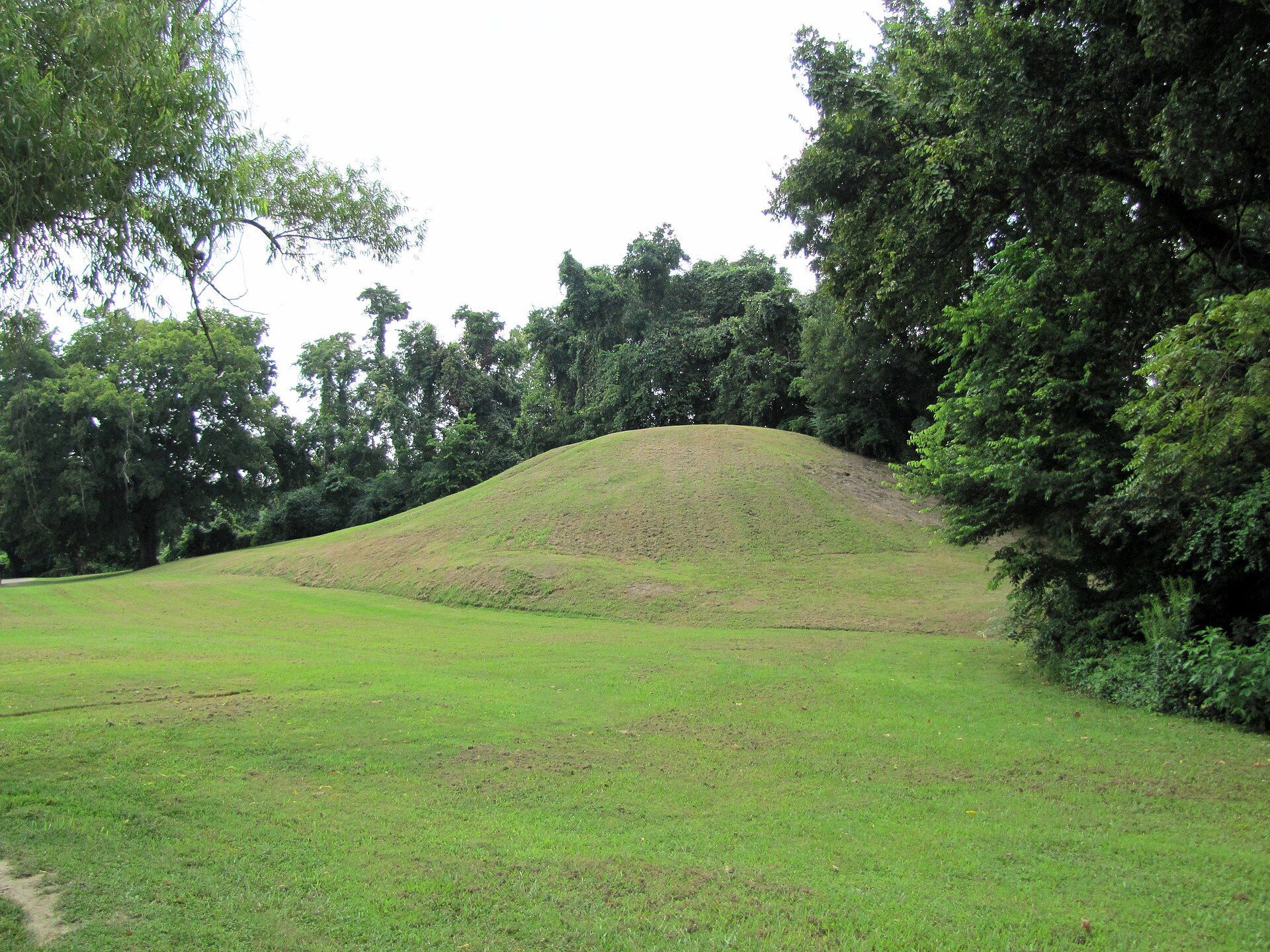
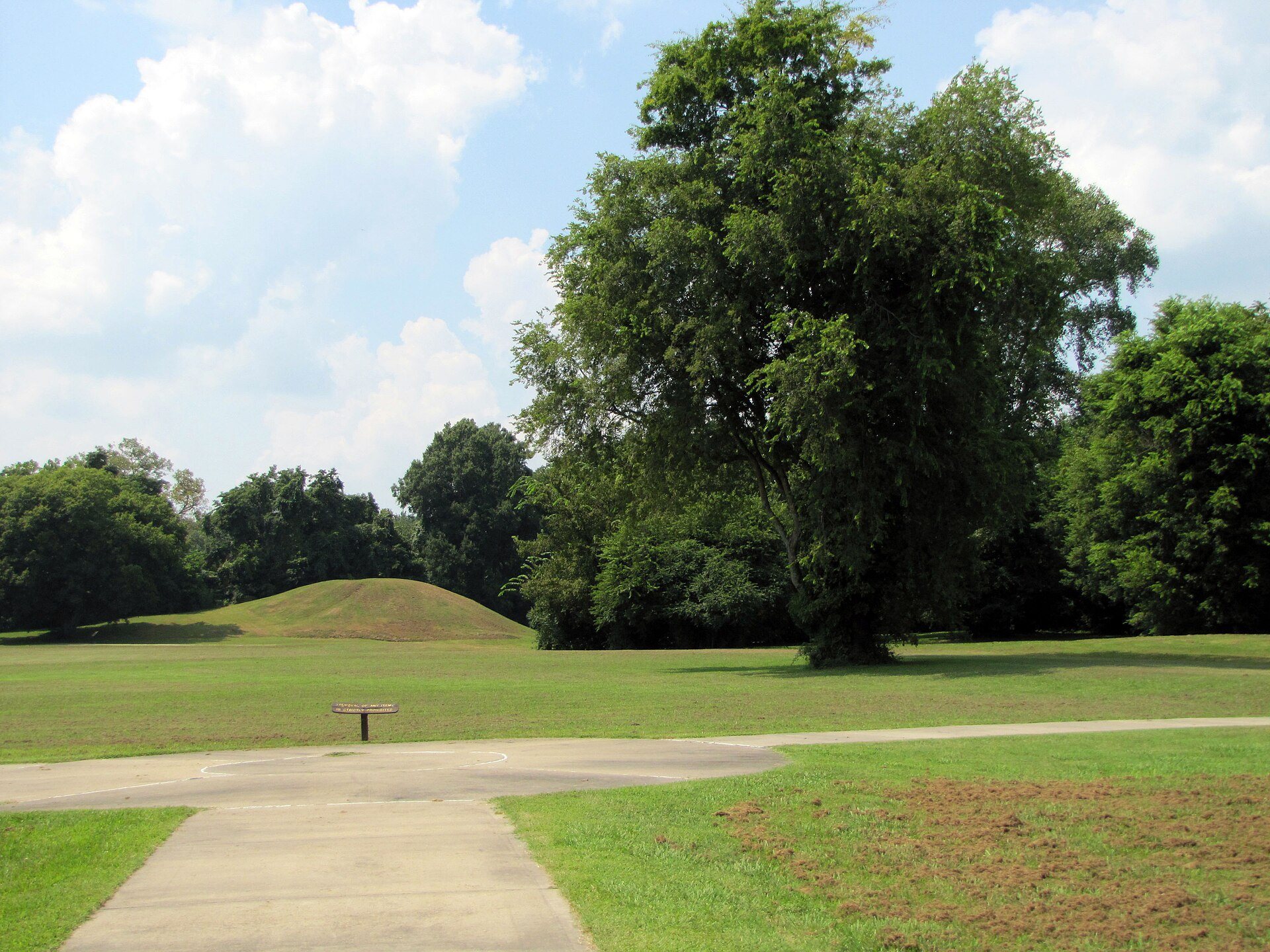
The settlement occupied about 17 acres (7 hectares) at the meeting of the St. Francis and Tyronza rivers. Its river position appears to have helped residents control movement and exchange along the waterways, even though the surrounding agricultural soil was relatively poor. One large substructure mound, an earthen platform built to support an important structure, and six smaller mounds stood around a central plaza. The principal mound rose 21.3 feet (6.5 meters) and included a projecting terrace about 5 feet (1.5 meters) high. It stood beside the St. Francis River, with the plaza on the opposite side.
Spanish chroniclers described a large building on the summit as the residence of Casqui. Houses and other structures for his wives and attendants occupied the terrace. The six smaller mounds measured about 3.2 to 5 feet (1 to 1.5 meters) high. The central plaza provided space for religious ceremonies and games, including chunkey, a game involving a rolling stone disk, and the ballgame.
Houses and Defensive Works
Numerous houses stood around the plaza in an organized arrangement aligned with the mound and plaza axis. Their walls used wattle and daub, a framework of branches or reeds covered with mud or clay, and their roofs were thatched. Descriptions of the village emphasize its limited tree cover, reflecting the extensive use of wood for fuel and construction.
A defensive palisade, a wall of upright wooden posts, enclosed three sides of the settlement. Regularly spaced bastions, or projecting defensive positions, and openings for archers strengthened the enclosure. Outside it, a large moat surrounded the same three sides and connected by canal to the St. Francis River, which formed the fourth side. Fish lived in the moat. The enclosed ground stood about 3.2 feet (1 meter) above the surrounding land, an elevation that may have been partly created by the inhabitants or formed gradually through the accumulation of soil and refuse within the settlement.
Pottery and Recovered Objects
Most Parkin pottery consists of utilitarian wares classified as Mississippian Plain var. Neeleys Ferry and Barton Incised var. Togo, formerly called Parkin Punctated. Other vessels display human-head, underwater-panther, fish, and dog effigies, along with red-and-white spiral, swastika, and striped designs. Parkin potters built vessels from strips of clay and smoothed them by hand. Slips containing galena, hematite, and sometimes graphite produced white, red, and black surfaces.
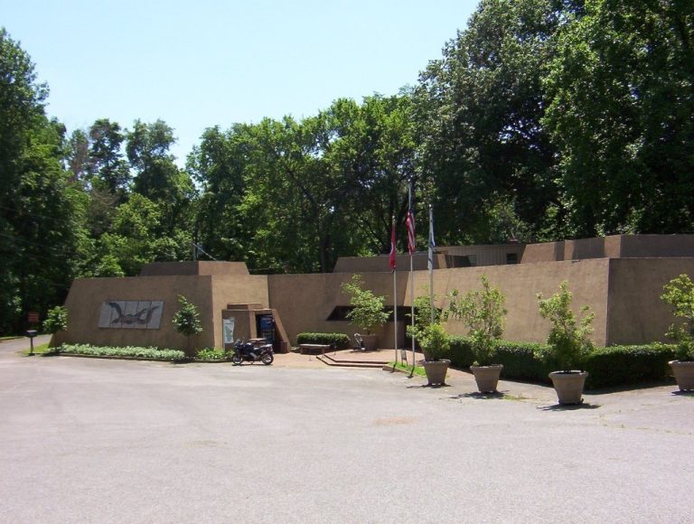
Burials commonly included a bowl and a bottle, a practice also found in the Nodena, Walls, and Kent phases. The site museum displays artifacts from the village and a bust representing the appearance of Parkin people as interpreted from the human-head effigy pots. The Spanish bead, Clarksdale bell, four burial vessels, and cypress log fragment recovered at the site connect the physical remains with both local mortuary practices and the Spanish expedition.