Malpasito: A Zoque Archaeological and Ceremonial Center
Site at a Glance
- Rating
- 4.5
- Popularity
- Very Low
- Country
- Mexico
- Primary era
- Classical
- Eras represented
- Classical
- Civilizations
- Unclassified
- Site type
- Religious
- Remains
- Sanctuary
On this page9 sections
History
Malpasito is a pre-Columbian archaeological and ceremonial center in Huimanguillo, Tabasco, Mexico. Generally attributed to the Zoque, an Indigenous cultural and linguistic group of southern Mexico, it reached its greatest development during the Late Classic period, approximately AD 700-900. Its position on a route linking the Gulf of Mexico with the Pacific coast helped make it a political and religious center for settlements in the Las Flores Valley.
Late Classic development
Malpasito occupied the Las Flores Valley in a region rich in natural resources and suitable for agriculture. The Grijalva River, known in antiquity as the Mazapa, provided an important means of communication along the route between the Gulf and Pacific coasts. Malpasito helped connect smaller communities in the valley and served as a center where political authority and religious activity were brought together.
Early archaeological investigations identified cultural correspondences between Malpasito and other Zoque sites. Maya and Teotihuacan materials and styles also occur, pointing to interaction among different Mesoamerican traditions. The site’s cultural classification remains debated. Some interpretations associate it with the Maya, while others identify it as Zoque. The lack of inscriptions and stelae has made the question more difficult to resolve, although the site’s wider architectural and material evidence places it within a region of sustained cultural exchange.
Ritual and political functions
The ball game at Malpasito had a ritual purpose closely connected with political power and probably formed part of a fertility cult. Participants apparently completed a purification ritual in the morning and kept a vigil from midday on the day before the game. The steam bath in Structure 18 may have been used for purification, while Structure 21 may have served as the place of vigil.
The South Court was the principal civic-religious space. Ceremonies held there brought the ruling group into contact with the wider population and helped maintain social unity. Structure 13 appears to have supported public ceremonies directed toward people gathered in the principal plaza, while Structures 10, 7, 11, and 12 formed a more restricted ceremonial setting.
Decline and later history
By about a century after the Late Classic occupation, very few people apparently remained at Malpasito. Spanish incursions into the region began in 1522, when surrounding territory was occupied by Zoque groups. These communities lived in dispersed settlements organized around chiefly centers with political and religious functions. The nearest such center was Quechula, approximately 35 kilometers southeast of Malpasito.
Archaeological investigations carried out between 1992 and 1994 clarified the site’s regional cultural relationships and identified evidence of interaction with Maya and Teotihuacan traditions. Excavations began in the 1990s. Malpasito is administered by Mexico’s National Institute of Anthropology and History and is regarded as the most important Zoque archaeological and ceremonial center in the Las Flores Valley, as well as the most important Zoque archaeological zone open to the public.
Remains
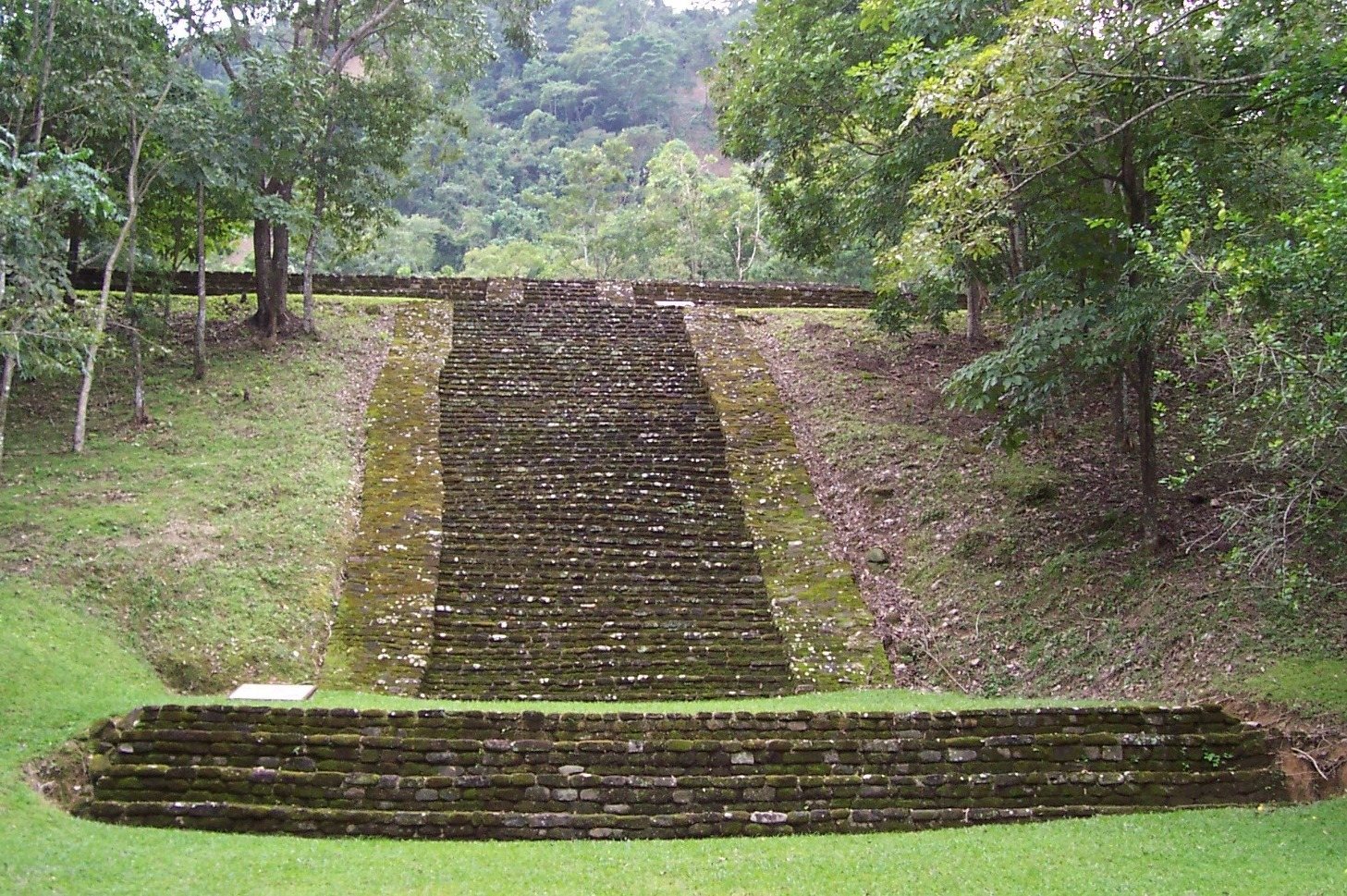
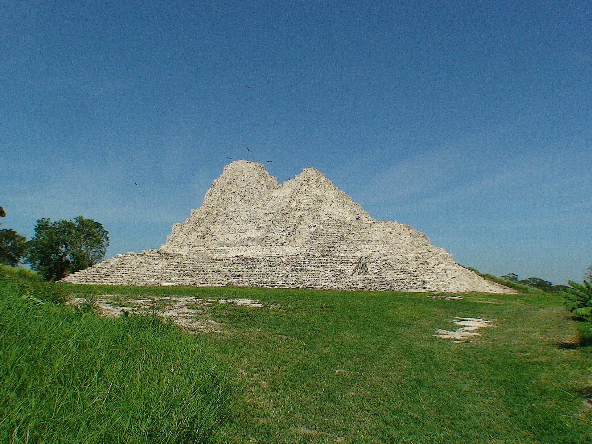
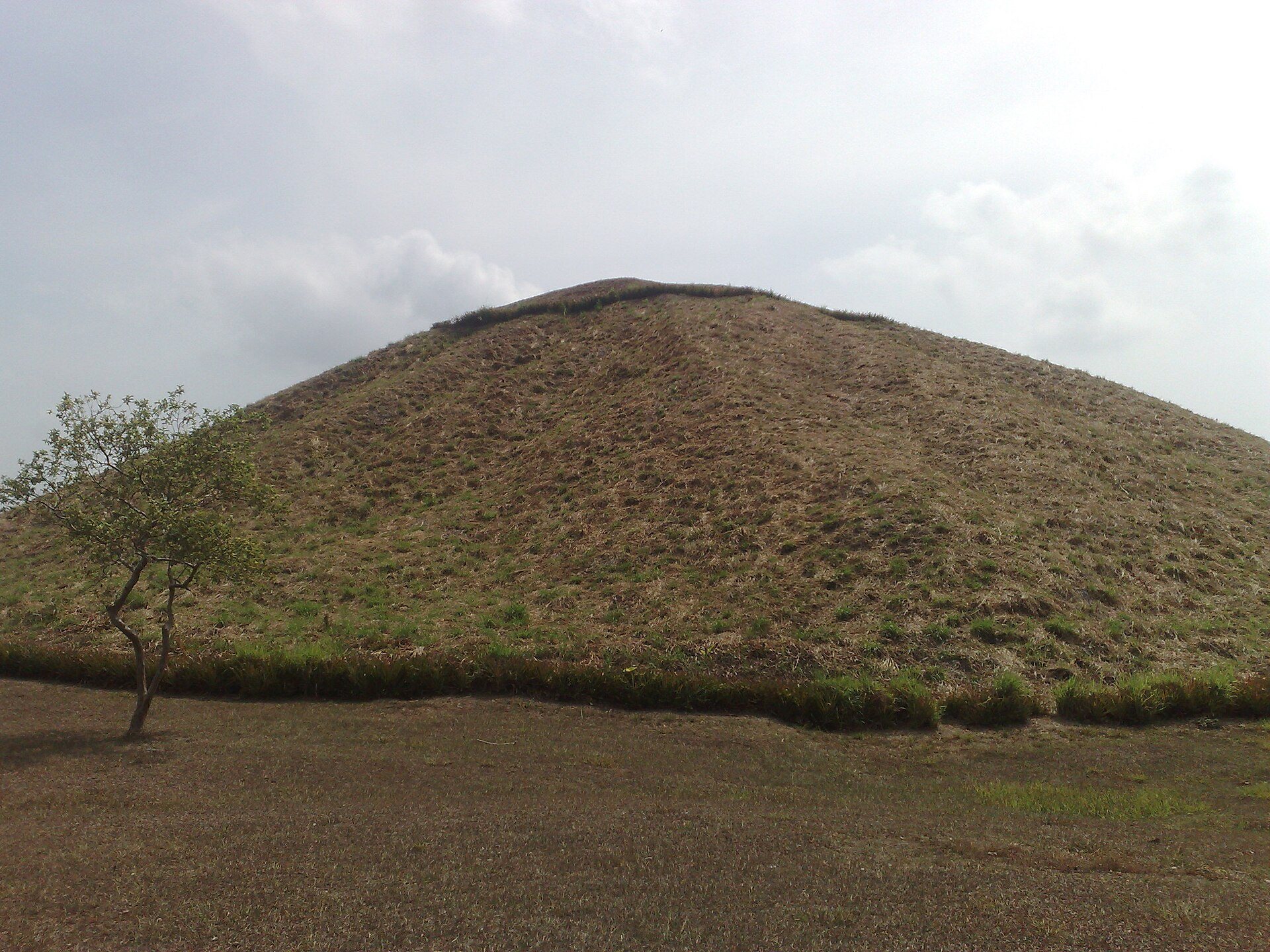
Malpasito covers approximately 17 hectares, with a monumental sector occupying about 14 hectares. Fifty-three rectangular structures and 27 artificial mounds are distributed along a north-south axis. The site occupies the slope of a mountain between two ravines, on the northern edge of a heavily wooded ridge at an elevation of approximately 300 meters. Access reaches the site from the summit of a hill at its northeastern end, while the ravines define the approaches.
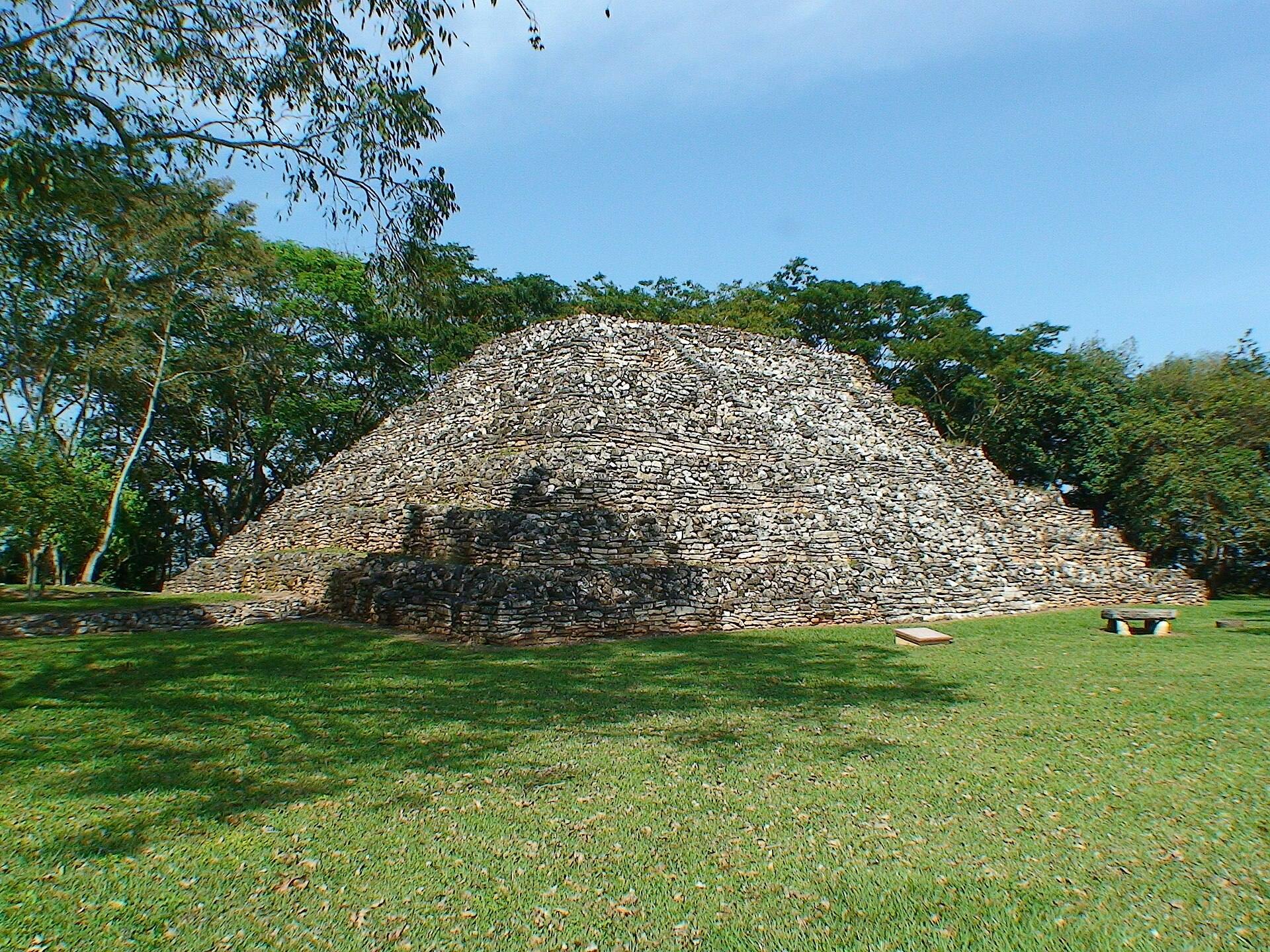
The builders reshaped the mountain slope with artificial terraces. These terraces become smaller as the ground descends, while the summits of natural hills supported buildings. Locally available sandstone and clay mortar were used for masonry structures that probably carried houses and temples made from perishable materials. The upper part contains the principal structures, arranged around sunken courts and plazas. The civic-religious sector occupies the summits and risers of the terraces, while the residential sector lies in the lower northern area, where the terrain determined the placement of buildings.
Plazas and civic-religious structures
The principal plaza lies between the ball court and the South Court and covers approximately 2,275 square meters. Structures 18 and 22 bound it to the north and northeast, Structures 13, 16, and 17 to the south, and Structure 28 to the northwest. Its eastern and western ends are open. Along the route toward the principal sector, rock alignments crossing the path mark different terraces, while several structures remain difficult to see beneath vegetation.
The ball court and steam bath
The ball court combines Maya-style religious symbolism with Zoque architectural characteristics. Four rectangular structures and an access stairway enclose a sunken court shaped like a T, with one open end and one closed end. A drainage system carried rainwater away from the court and from the cores of the surrounding structures.
A steam bath was built on top of Structure 18. This heated ritual and therapeutic enclosure is partly below ground and includes an access stairway, a steam room with side benches, a flagstone floor, and surviving clay plaster on the walls. An adjoining square space, enclosed by vertical walls, held the fire used to create steam when water was thrown onto the inside of the room’s southeastern wall. Offerings were placed in front of the stairway and on top of Structure 22. They consisted of vessels covered by aligned stones or deposited in masonry boxes.
The South Court
Six rectangular structures define the South Court. Structures 10 and 13 are especially notable for their dimensions and positions, and a stairway axis from the principal plaza leads into the complex. Masonry boxes beneath the floor at the top of Structure 13 had carefully finished sandstone covers. Vessels were placed at one end of the boxes, directly on compacted earth or sandstone floors.
The temples presumed to have stood on the structures around the court were probably made from perishable materials. Structure 13 appears to have provided the setting for ceremonies directed toward people assembled in the principal plaza. Structures 10, 7, 11, and 12 formed a more restricted ceremonial setting within the same civic-religious complex.
Carved rocks and fertility imagery
More than one hundred carved rocks have been found within the archaeological zone and in neighboring communal landholdings, known in Mexico as ejidos, at Malpasito, Villa Guadalupe, Chimalapa, and Francisco J. Mujica. Their imagery includes human figures, birds, deer, monkeys, and geometric designs associated symbolically with ancient Maya ideas about fertility and hunting.
Ten petroglyphs are located at Malpasito itself. Most consist of abstract motifs made from cupules, small rounded hollows pecked into rock, and geometric designs. One has the form of a ladder. Petroglyph 112 depicts buildings in profile, with high roofs and vertical walls standing on stepped platforms, and has been interpreted as a reflection of the architecture that once occupied the site.
Other carvings include representations of vulvas and T-shaped or I-shaped designs thought to resemble ball courts. A phallic sculpture found in Structure 19 provides a physical indication of the fertility symbolism associated with the ball game and the steam-bath complex.