Southwold Earthworks: A Pre-Contact Neutral Village and Ceremonial Enclosure
Site at a Glance
- Rating
- 4.4
- Popularity
- Very Low
- Country
- Canada
- Primary era
- Early Modern
- External website
- Open
- Eras represented
- Medieval, Early Modern
- Civilizations
- Unclassified
- Site type
- Religious
- Remains
- Sanctuary
On this page6 sections
History
Southwold Earthworks is the remains of a pre-contact Neutral village near Iona in southwestern Ontario, Canada. The Neutral people, also known as the Attiwandaronk, were an Iroquoian-speaking Indigenous population of the Great Lakes region. The village was occupied from approximately AD 1450 to 1550 and represents a typical Neutral settlement, although its setting and archaeological evidence have encouraged distinctive interpretations of its purpose.
Neutral occupation
Southwold may have supported between 800 and 900 people, with archaeological estimates placing the population at about 800. The settlement stood on flat land without natural defensive advantages. Its enclosure and organization therefore raise questions about whether the palisades served mainly military purposes.
Oneida oral tradition presents Southwold as a ceremonial center and seasonal pilgrimage site rather than a permanent, year-round village. In this interpretation, the palisade screened healing and purification rituals from outsiders. A palisade is an enclosing barrier made from upright wooden stakes. At Southwold, its precise purpose remains understood differently in archaeological interpretation and Oneida tradition.
Recognition and investigation
Major archaeological investigations took place in 1935 and 1976. Southwold Earthworks was among the first Canadian places considered for official national recognition. The federal government designated it a National Historic Site of Canada in 1923 and purchased the property in 1929. Parks Canada manages the site.
Remains
Earthworks and palisades
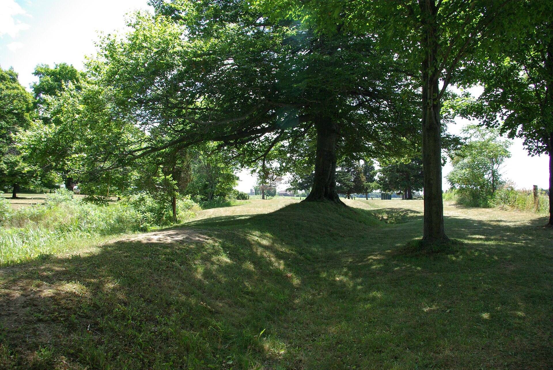
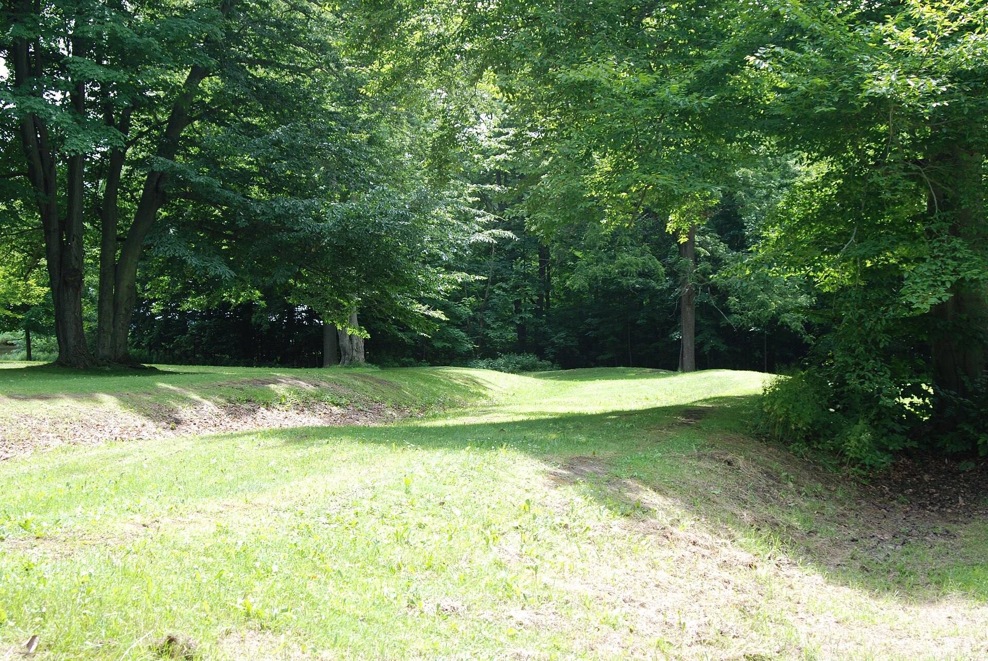
The site occupies approximately 2.2 hectares near a tributary of Talbot Creek in rural Elgin County. An oval ring of raised earth encloses the village remains. These earthworks formed the foundations for two complete rings of upright wooden pickets, creating a double palisade around the settlement. The village itself was originally estimated at about 0.8 hectares. The main entrance probably stood at the northeastern corner, while openings in the northwestern and southern sections allowed a small stream to pass between the two palisade rows. Trees now grow from the earthworks.
Longhouses and central space
Excavations identified the remains of eighteen longhouses of different sizes that existed at the same time, while the settlement may originally have contained as many as twenty-four. A longhouse was a large communal dwelling used by many Iroquoian-speaking peoples. An open area at the center appears to have served as a shared activity space or meeting place, linking the dwellings within the enclosed village.