Óc Eo: An Archaeological Port Site Associated with Funan
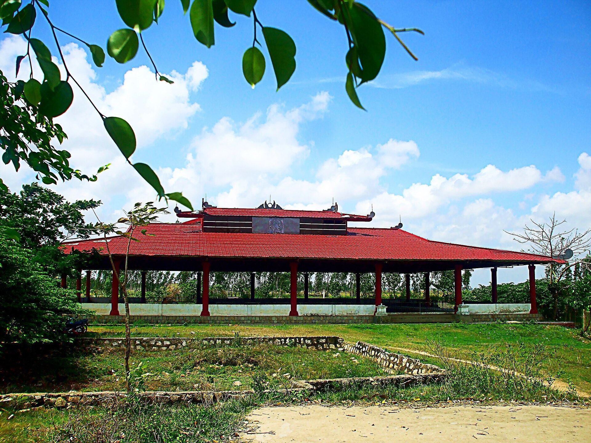
Site at a Glance
- Rating
- 4.6
- Popularity
- Very Low
- Country
- Vietnam
- Primary era
- Classical
- Eras represented
- Classical, Medieval
- Civilizations
- Unclassified
- Site type
- City
On this page7 sections
History
Óc Eo is an archaeological site in modern Óc Eo commune, An Giang Province, Vietnam, associated with the polity known from Chinese records as Funan and active in the region from approximately the first to the seventh centuries CE. The site probably developed into a major port on Southeast Asian maritime routes, where craft production, commerce, urban growth, and contact with India shaped an important economic and cultural center.
Origins and the Óc Eo culture
Óc Eo appears to have developed gradually from the late Neolithic or early Metal Age. Its name derives from Khmer words meaning “glass canal.” The expression “Óc Eo culture” refers to the ancient material culture of the Mekong Delta, especially the objects recovered at Óc Eo and related sites in southern Vietnam, south and west of Ho Chi Minh City.
These archaeological sites provide the principal evidence for reconstructing the material culture of Funan. Funan is a modern conventional name based mainly on ancient Chinese historical records and diplomatic reports. It does not appear in the surviving indigenous inscriptions cited for ancient Vietnam or Cambodia, so the association between Óc Eo and Funan remains an archaeological and historical interpretation rather than an indigenous name for the site.
Maritime connections and Cattigara
Óc Eo’s position within the Mekong Delta connected it to maritime routes and encouraged exchanges with communities beyond the region. Aerial photography in 1958 showed that a Mekong distributary, a branch flowing toward a delta or coast, once reached the Gulf of Thailand near Ta Keo. Ta Keo was then on the coast, although later silt accumulation separated it from the sea. A canal linking Ta Keo and Óc Eo provided access to the gulf.
Louis Malleret, who began excavating Óc Eo on 10 February 1942 after French archaeologists identified it through aerial photography, proposed that the site might be the port called Cattigara by the second-century Alexandrian geographer Claudius Ptolemy. The identification remains conjectural. Other proposals have placed Cattigara at Banteaymeas, now Hà Tiên, or at the Mekong estuary. Óc Eo’s position, maritime connections, and a small number of Roman or eastern Roman objects support the proposal, but do not establish it conclusively.
Ptolemy’s coordinates originally placed Cattigara at 8.5 degrees south of the equator, probably because of a copying error. Modern interpretations move it to 8.5 degrees north and associate it with an important Mekong estuary port. The name has been connected hypothetically with the Sanskrit expressions Kirtinagara, meaning “renowned city,” and Kottinagara, meaning “strong city.” The proposed identification influenced later geographical interpretation. An eighteenth-century map placed Cattigara at the Mekong estuary, and the belief that the place lay in Southeast Asia shaped European attempts to interpret Ptolemy’s geography, including the expectations behind Christopher Columbus’s fourth voyage of 1502 to 1503.
Interpretations of Funan
The extent and unity of the culture associated with Funan have been debated. Hà Văn Tấn argued that a single Funan culture extending from the Mekong Delta through the Chao Phraya Delta to Burma could not be demonstrated. He interpreted similar jewelry and seals at different sites as possible results of trade and exchange between communities with separate cultural developments. He also supported replacing the Chinese designation Funan with historically attested regional city names such as Aninditapura, Bhavapura, Shresthapura, and Vyadhapura.
Remains
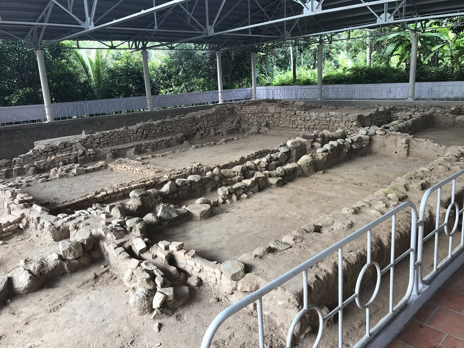
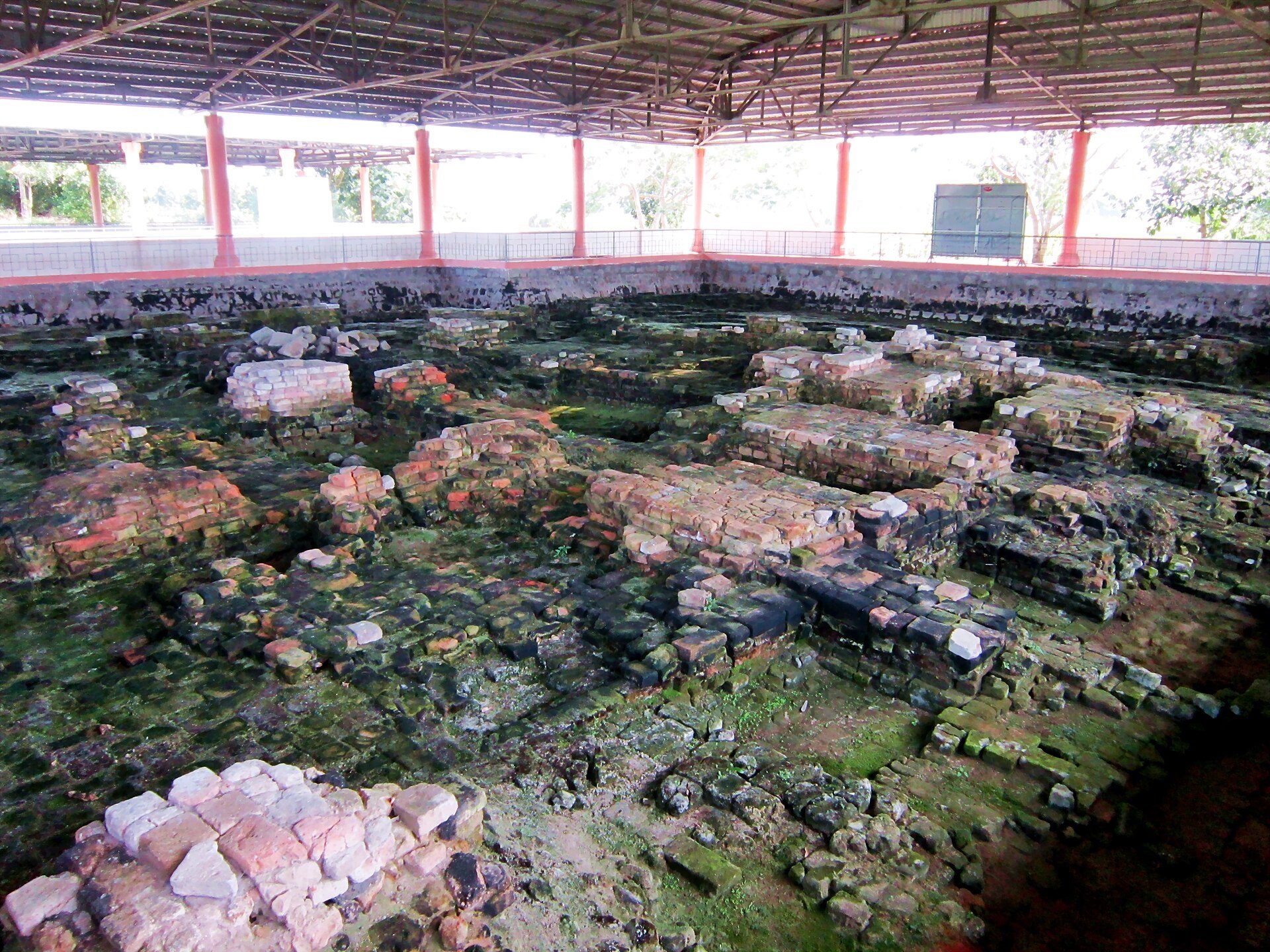
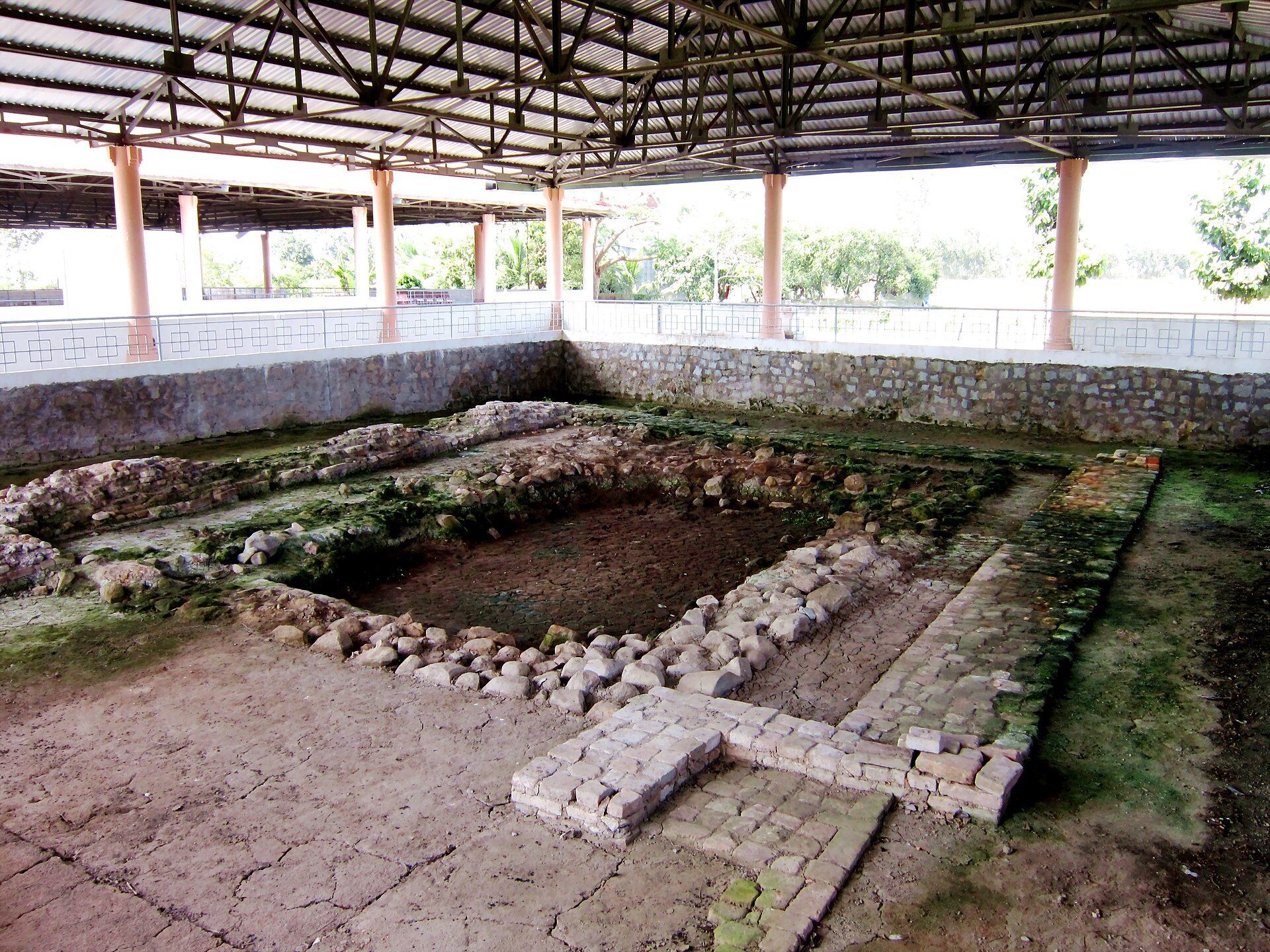
Óc Eo covers approximately 450 hectares within the low, flat lands of the Mekong Delta. Its physical layout is defined by a network of ancient canals, including a main channel that divided the site longitudinally and four transverse canals crossing it. The waterways connected the settlement to inland and maritime routes and form the central framework for interpreting its archaeological remains.
Canals and settlement layout
One canal connected Óc Eo with a maritime port, while another extended about 68 kilometers north-northeast to Angkor Borei. The canal route through Ta Keo also gave the site access to the Gulf of Thailand. Houses may have stood along the transverse canals on piles, meaning driven posts that raised buildings above wetland surfaces, but their existence and arrangement remain uncertain.
Objects and production evidence
Excavations have produced pottery, tools, jewelry, jewelry-making molds or casts, coins, and religious statues. Many of these objects were collected for exhibition at the Museum of Vietnamese History in Ho Chi Minh City. Their range reflects the activities and contacts associated with the site, including local production and wider regional exchange.
Gold jewelry imitating coins of the Roman Empire’s second-century Antonine period, associated especially with Antoninus Pius and Marcus Aurelius, has been found at Óc Eo. Roman gold medallions from the reign of Antoninus Pius, and possibly from that of Marcus Aurelius, have also been reported. Eight silver coins found by Malleret bear images identified either as the hamsa or as the Vietnamese crested argus and appear to have been minted in Funan.
In July 2023, an anvil-shaped stone slab was discovered at Óc Eo. It has been described as the earliest known evidence of spice processing in Southeast Asia. The wider Óc Eo cultural area also includes Thap Muoi, north of the Tien Giang River, where a stone stele with a sixth-century Sanskrit inscription was found. Thap Muoi is an associated regional site rather than a feature within Óc Eo itself.