Kota Batu Archaeological Park: Archaeological Remains of Brunei’s Historic Capital
Site at a Glance
- Rating
- 4.1
- Popularity
- Very Low
- Country
- Brunei
- Primary era
- Medieval
- Eras represented
- Medieval
- Civilizations
- Brunei Sultanate, Chinese
- Site type
- City
On this page11 sections
History
Kota Batu Archaeological Park is an archaeological site in Kampong Kota Batu, Bandar Seri Begawan, Brunei, preserving the area traditionally identified as the Bruneian capital from the fourteenth to the seventeenth centuries. The Bruneian centre served as a major settlement and as a focus of trade, administration, and government.
Early Brunei and the royal centre
Activity at Kota Batu predates the formation of the Bruneian Empire, the historical sultanate centred on Brunei that exercised influence across Borneo and maritime Southeast Asia, in the mid-fourteenth century. Timber structures near the river may correspond to Chinese records from 977 CE, which describe Brunei, or Pu-ni, as protected by timber walls. Song-period ceramics and Chinese currency have also been interpreted as evidence for a monarchy at Kota Batu during the tenth century.
The Salasilah Raja-Raja Brunei, a Bruneian royal genealogy, links the Chinese construction of Kota Batu with the period when Sultan Sharif Ali moved the government to the area. Sharif Ali was a fifteenth-century sultan associated with the consolidation of Islam and the development of the Bruneian state. Stone walls are said to have been added during his reign.
Descriptions of the city
Antonio Pigafetta, an Italian chronicler who accompanied the Magellan expedition, described Brunei in 1521. His account places much of the city on water, apart from the royal palace and a stone castle. The city included the Sultan’s palace, residences for nobles, industrial areas, and a mint within the palace grounds. The late-sixteenth-century Boxer Codex also describes the city’s geography and has helped guide investigations of its walls, palace area, industries, and pottery workshops.
Archaeology and preservation
Tom Harrisson began excavations at Kota Batu in 1952 and 1953, opening 417 excavation ditches. Further work by the Museums Department during the 1960s and 1980s produced additional evidence of the site’s administrative and commercial importance. Areas in the higher parts of Kota Batu have been interpreted as coin and pottery factories. Coins and locally made pottery recovered there suggest that the Sultan’s palace stood nearby. Wood and bamboo, commonly used in Malay house construction, decay rapidly, which helps explain the limited survival of substantial royal and aristocratic buildings.
The Museums Department administers the archaeological site, its surrounding mausoleums, and the museum area. Kota Batu and its surroundings were gazetted under Brunei’s Antiquities and Treasure Trove Act of 1967. Development of the archaeological park took place during Brunei’s eighth and ninth National Development Plans, with the work of Archaeological Curator Pengiran Karim Osman and Aminah Majid contributing to public awareness and preservation. The park officially opened on 11 August 2015. Archaeological research continues alongside the preservation of historical artefacts, including ethno-archaeological studies of how local communities used plants for construction, industry, medicine, and food.
An oral tradition associates Sultan Muhammad Hasan’s palace with a site at Tanjong Kindana on Berambang Island rather than with a surviving palace at Kota Batu. Muhammad Hasan was a later Bruneian sultan whose reign is associated with traditions concerning royal residences in the Brunei River region.
Remains
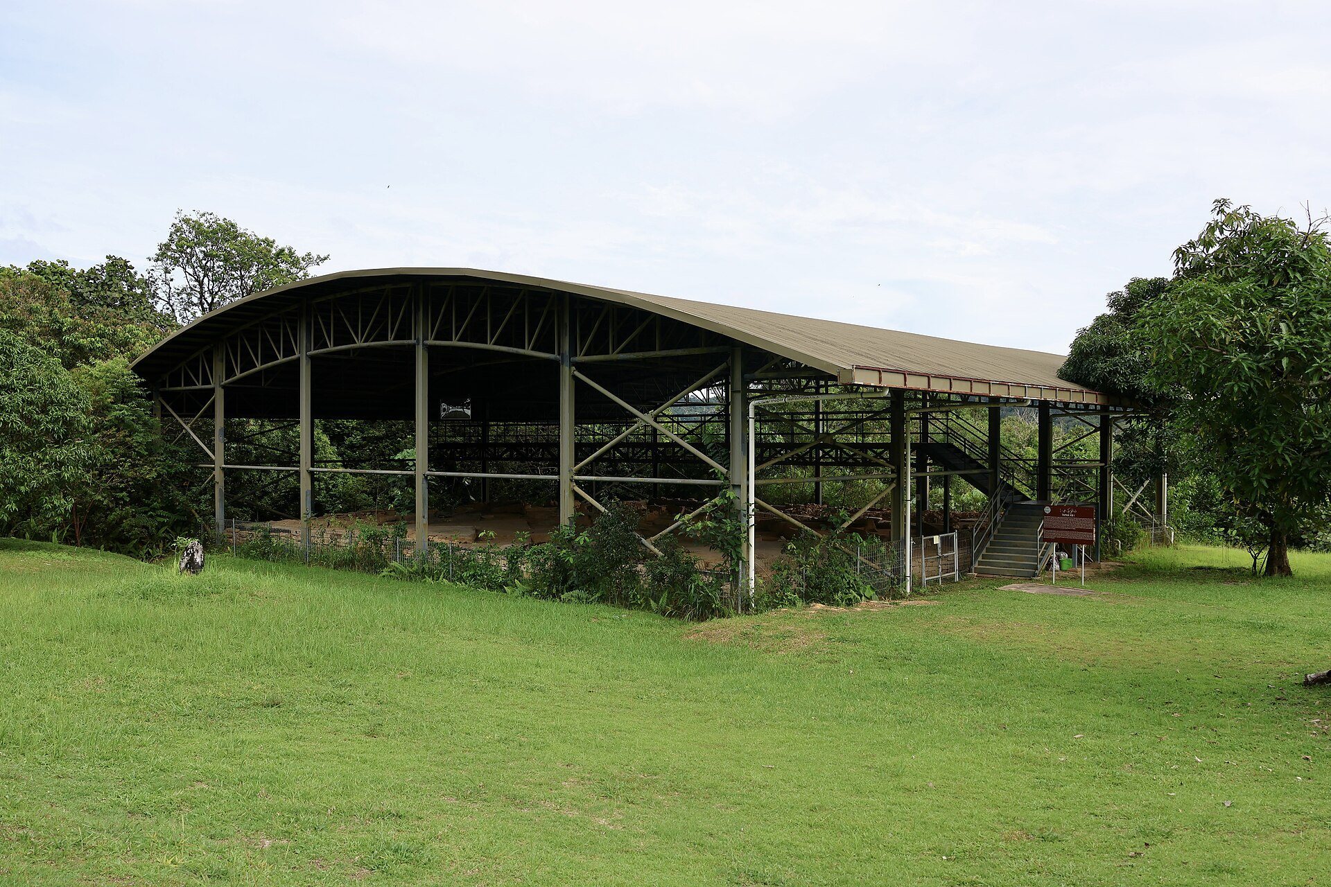
The archaeological park covers approximately 120 acres, or 49 hectares, in Kampong Kota Batu. Its physical setting is divided into three principal zones: a hill area, flatlands, and tidal flats. The remains include stone-built features, timber structures, industrial evidence, graves, artefacts, and a stone bridge or causeway connecting the higher ground with Terindak Island.
Zones and principal structures
Hill zone
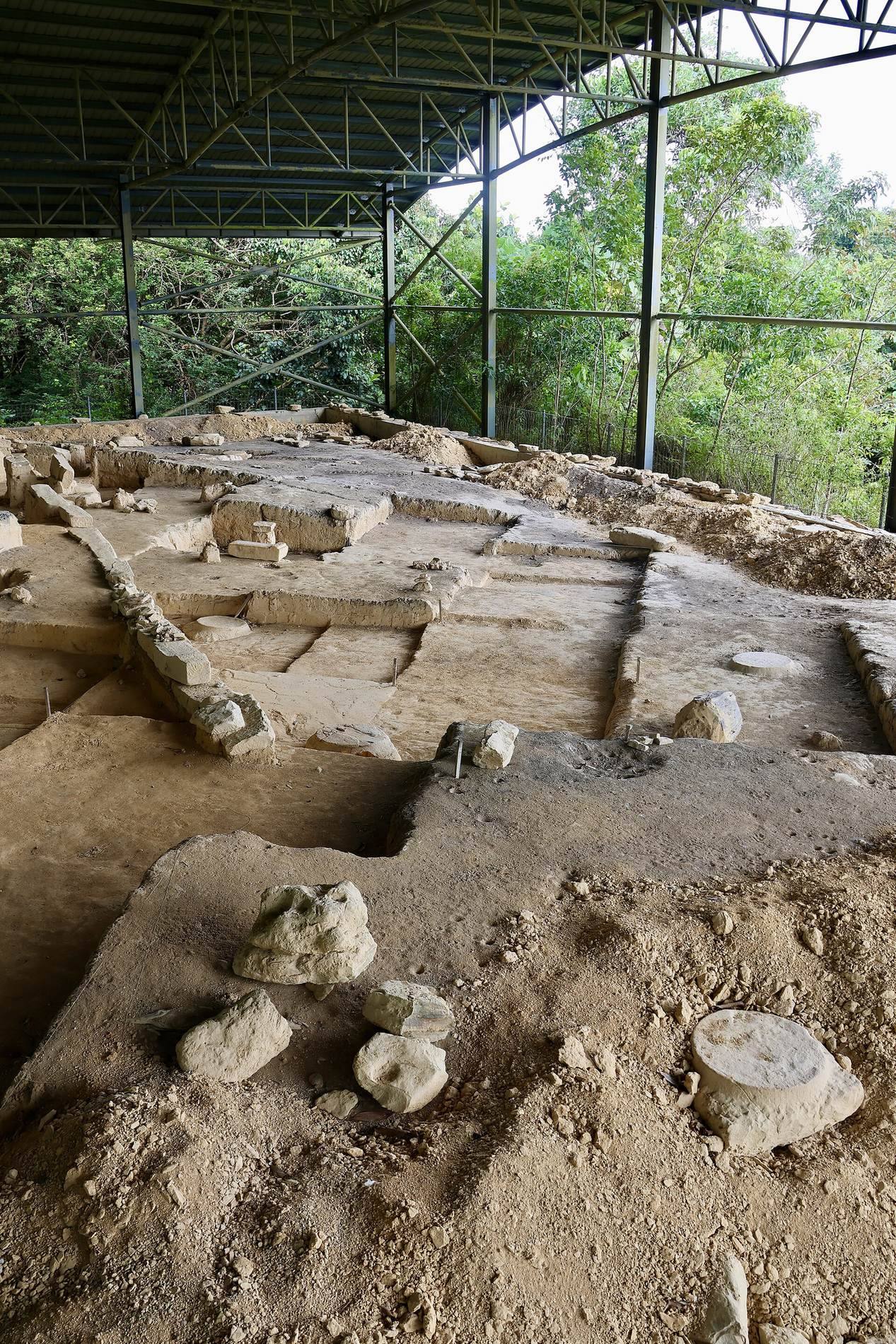
Zone 1 occupies the hill area and contains cemeteries, graveyards, and a complex with 26 rounded stone pillar bases. The complex is thought to represent the burial place of five aristocrats. A main entrance lies on the southern side of the zone.
Kota Batu II Complex
Zone 2 consists of flat ground near the Mausoleum of Sultan Bolkiah, a major Bruneian ruler of the fifteenth and early sixteenth centuries. The Kota Batu II Complex contains small sandstones arranged in a curved pattern. Excavation also uncovered a square stone structure measuring approximately 25.8 by 25.4 metres, with 13 pillar bases spaced about 3.5 metres apart. Ming-period pottery fragments and gravestone remains indicate a probable fifteenth-century date. A broken gravestone led to its initial interpretation as a tomb complex, while the building’s form may also indicate a mosque or hall.
Tidal flats and commoners’ houses
Zone 3 comprises tidal flats associated with the homes of commoners. Timber buildings and implements, along with piled-stone constructions, provide evidence of the materials and structures used across the settlement.
Stone bridge and causeway
A stone bridge or causeway connected Kota Batu’s higher ground with Terindak Island. Built from carefully placed stones, it served a defensive function. Terindak Island may also have acted as an observation post for monitoring ships entering Brunei Bay.
Artefacts and industrial evidence
Excavated material includes carved stones, iron and bronze objects, glass buttons, beads, necklaces, and pottery from Brunei, Siam, and Indo-China. Song- and Ming-period artefacts, Chinese porcelain, and coins from the Tang, Song, and Ming dynasties date from 723 to 1425. Undated Islamic coins bear the inscription “Al-Adil” but do not identify their issuer. Together with imported ceramics and local pottery, these finds connect Kota Batu with northwestern Borneo and wider regional trade networks.
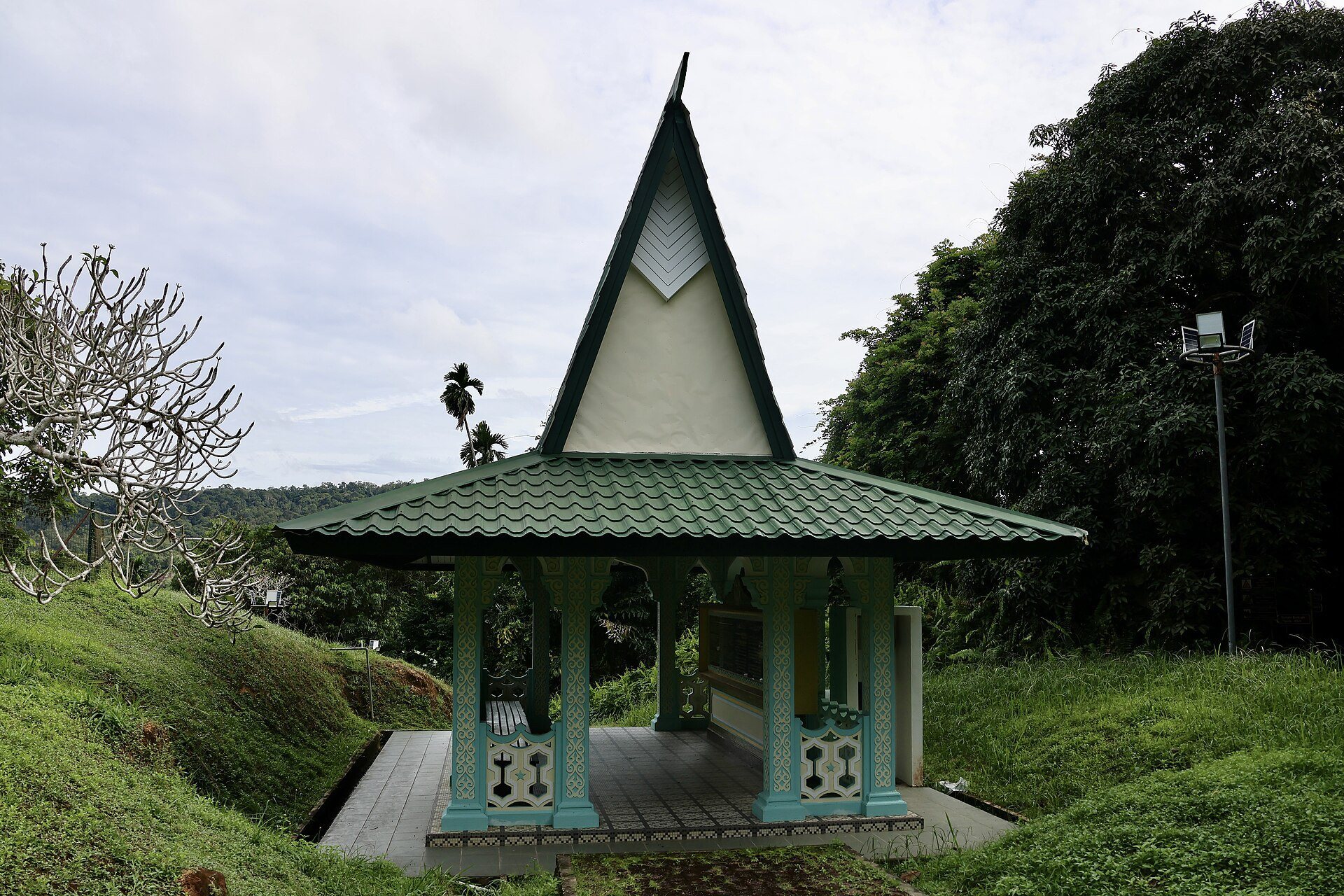
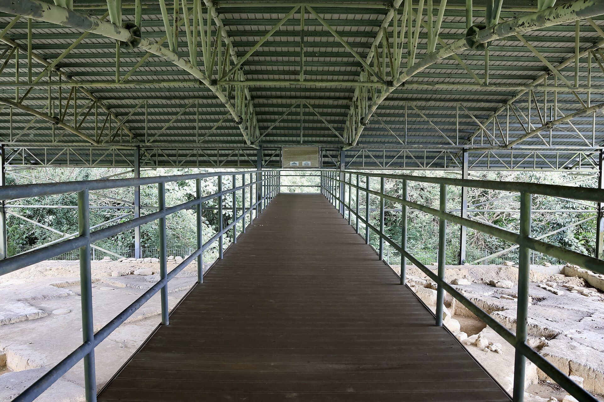
Bruneian pottery associated with the sixteenth century reflects highly skilled manufacture. Pigafetta recorded that clay intended for high-quality pottery was buried for 50 years before production. The park also contains seven huts, an information centre displaying artefacts and explanatory posters, a bridge linking the site with Terindak Island, and a promenade extending through the archaeological area.