Bedford Village Archeological Site: A Monongahela Village Site in Pennsylvania
Site at a Glance
- Rating
- 4.7
- Popularity
- Low
- Country
- United States
- Primary era
- Medieval
- External website
- Open
- Eras represented
- Medieval, Early Modern
- Civilizations
- Unclassified
- Site type
- Military
- Remains
- Fortified Town
On this page9 sections
History
Monongahela occupation
Bedford Village Archeological Site is an archaeological site in Bedford, Pennsylvania, United States, occupied by a Monongahela culture village sometime between 1250 and 1600. The Monongahela were a prehistoric Indigenous tradition centered in the upper Ohio River and nearby Appalachian regions. The settlement may have lasted only two generations, yet it is considered one of the easternmost known Monongahela sites.
The village may also represent a transition between the Monongahela culture and other peoples of central Pennsylvania. Its position on a river floodplain has been interpreted as possible evidence of a broader environmental response. Cooling around 1500 may have encouraged some Monongahela communities to move from hilltop settlements into warmer river valleys.
Earlier and later occupations
Testing in 1977 identified an occupation extending back to the Late Archaic period, a later phase of North American prehistory that preceded the Woodland period. Artifacts from the Shenks Ferry culture, a prehistoric Indigenous tradition associated chiefly with eastern Pennsylvania, also occur at the site. The evidence suggests a brief Shenks Ferry occupation after the Monongahela settlement. A large midden, an accumulation of discarded food remains and household refuse, lay over the former Monongahela stockade.
Modern land use and investigation
After European settlement, the hardwood forest was cleared and the land was farmed for many years. Agriculture ended in the mid-1970s, when the Bedford County Redevelopment Authority received a federal grant to establish a living-history museum. Old Bedford Village was constructed in 1975 and 1976. The area had already been known locally as a source of artifacts, but its wider archaeological potential was not investigated until after the museum was created.
Pennsylvania State University carried out extensive excavations during the summers of 1979 and 1980. Museum buildings, utility lines, and a gravel road affected portions of the former settlement, while heavy machinery may have buried middens along the edge of the village terrace. About three-quarters of the archaeological site remained undamaged. The site was added to the U.S. National Register of Historic Places on June 4, 1984, because of its broad range of artifacts and high degree of preservation.
Remains
Terrace setting and village layout
The archaeological site covers approximately 4.75 acres, or 1.92 hectares, on the highest point of a terrace beside the Raystown Branch of the Juniata River. The terrace stands above marshy areas of the river floodplain. This elevated position contained the Monongahela settlement, whose circular houses were enclosed by a stockade, a defensive barrier made from closely set posts. Excavations revealed stockade trenches around much of the village, marking the channels left after the posts decayed or were removed.
Houses and enclosure
The houses resembled those found at other Monongahela settlements. One excavated house measured approximately 7 metres, or 23 feet, across. The circular domestic buildings stood within the larger defensive enclosure, linking the settlement’s household spaces with its stockaded boundary.
Archaeological evidence
Surviving remains include artifacts from the Monongahela occupation, evidence of the earlier Late Archaic activity, and limited material associated with the Shenks Ferry culture. The large midden over the Monongahela stockade provides evidence of activity that followed the village’s occupation and helps define the sequence of use at the site.
Old Bedford Village
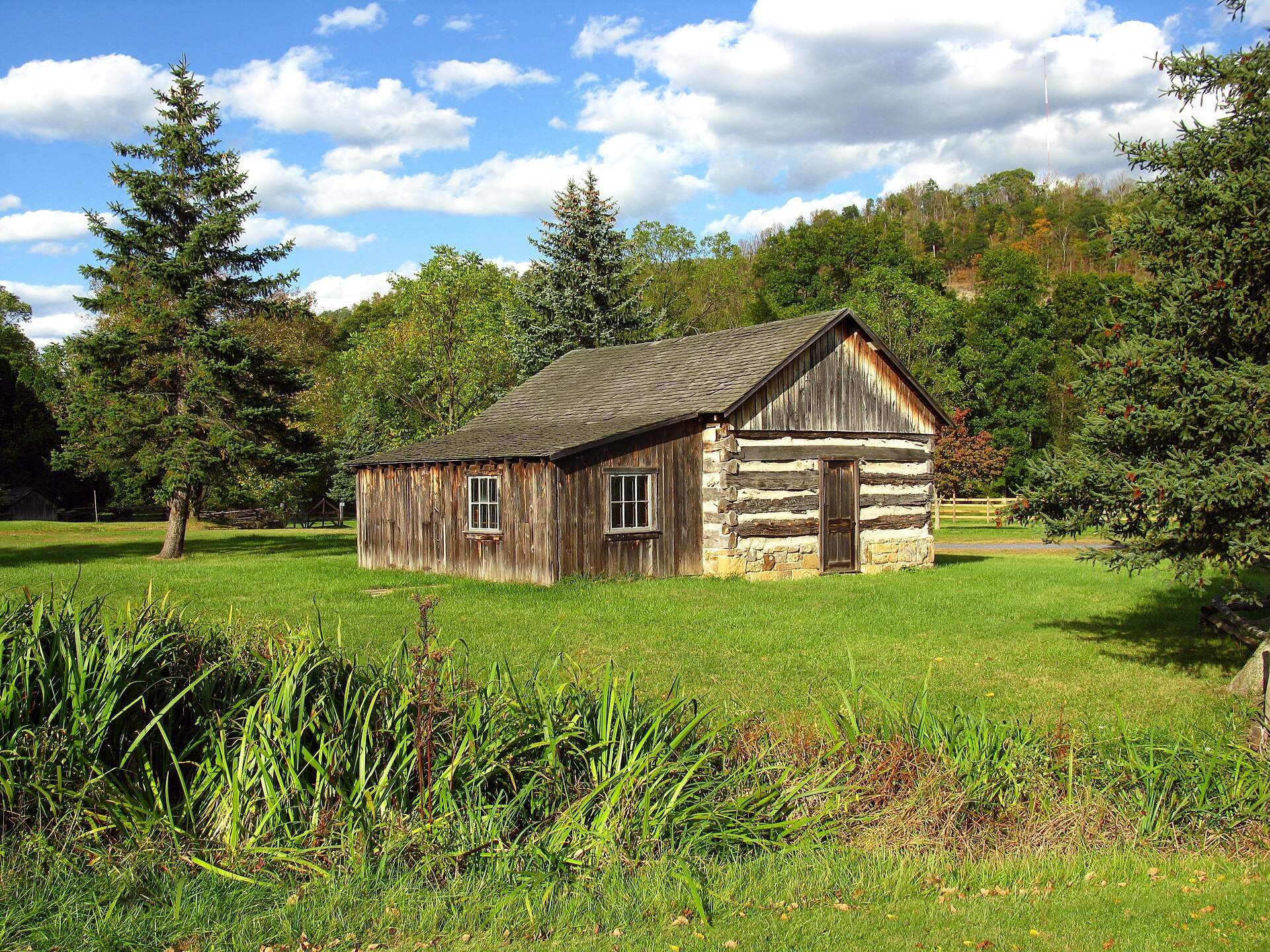
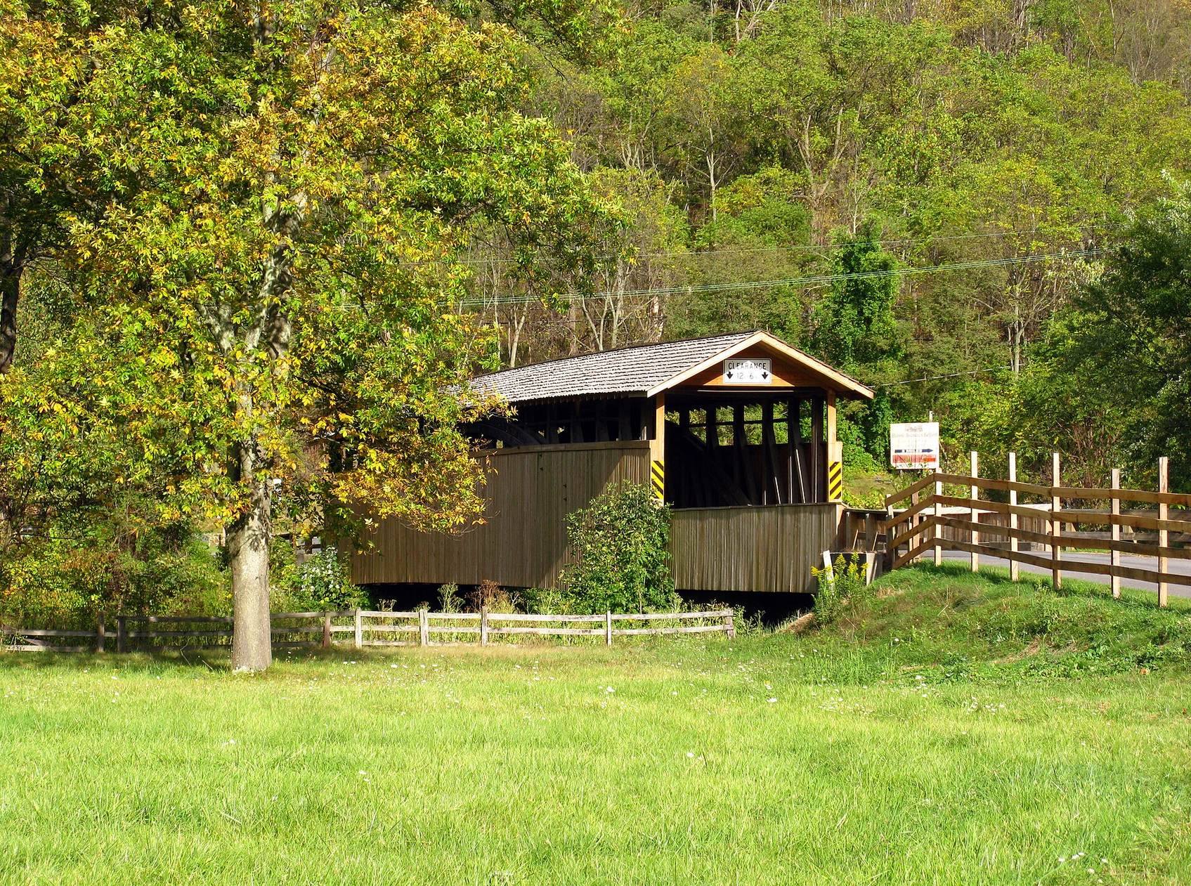
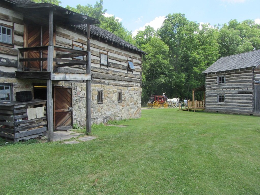
Old Bedford Village, an open-air museum, now occupies the archaeological area. Its historic buildings were transported from surrounding towns including Bedford, Everett, and Rainsburg. Museum structures, utility lines, and a gravel road occupy or cross parts of the former settlement, while approximately three-quarters of the archaeological area remained undisturbed after construction.