Liangzhu Site: A Neolithic Regional State Center in China
Site at a Glance
- Rating
- 5
- Popularity
- Very Low
- Country
- China
- Primary era
- Stone Age
- Eras represented
- Stone Age
- Civilizations
- Unclassified
- Site type
- City
On this page20 sections
History
Liangzhu site is a cluster of late Neolithic archaeological sites in the Yuhang District of Hangzhou, Zhejiang, China, built by the Liangzhu culture between approximately 3300 and 2300 BCE. Centered on an ancient city, the complex covered about 34 square kilometers and served as the political and spiritual center of an early regional state in the lower Yangtze basin.
Formation of the Liangzhu center
Liangzhu society was based chiefly on rice cultivation and also relied on pig raising, fishing, hunting, and the gathering of plants. Excavated remains include cultivated pumpkin, melon, peach, plum, persimmon, and grapes, together with gathered fruits. The settlement’s organization reveals centralized authority, specialized craft production, social divisions, and shared religious practices.
The development of the complex is divided into four broad phases. During the early phase, around 3300 to 3100 BCE, communities occupied the region before the city was established. Yaoshan belonged to this initial period. It functioned as a ceremonial sacrificial area and an elite cemetery, showing that social differentiation and shared religious traditions were already present before the urban center was built.
During the intermediate phase, around 3100 to 2850 BCE, the city, its water-management system, raised platforms, and cemeteries were established. The high dams were built around 3100 to 3000 BCE, while the low dams followed around 2950 to 2850 BCE. Both groups remained in use until about 2600 BCE. In the early late phase, around 2850 to 2600 BCE, additional platforms and cemeteries were created, and the inner-city walls were constructed.
Urban development and collapse
During the late phase, around 2600 to 2300 BCE, the city remained occupied while the region became warmer and wetter and experienced repeated flooding. The hydraulic system was probably abandoned, rice cultivation declined, and the Liangzhu political system collapsed. The city was abandoned around 2100 BCE and remained in ruins. Later remains dating to approximately 2200 to 2100 BCE belong to the succeeding Qianshanyang culture rather than to Liangzhu city itself.
The Liangzhu complex linked political authority, ritual activity, food production, craft work, burial practices, and water control across a large managed landscape. Its chronology and organization provide evidence for the formation of a regional state in the lower Yangtze basin during the late Neolithic period.
Rediscovery and archaeological interpretation
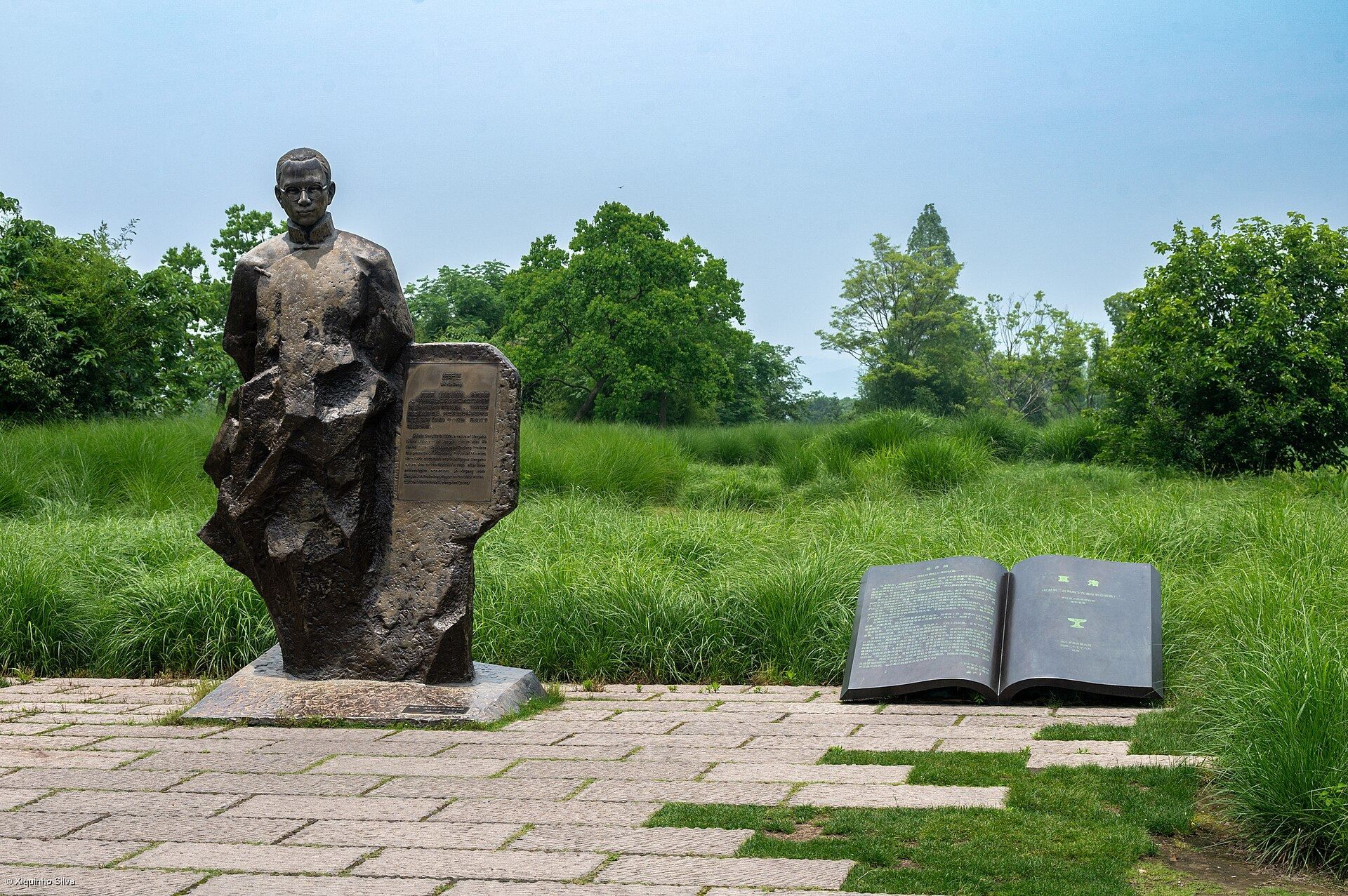
The site was first identified in 1936, when archaeologist Shi Xingeng recognized that black pottery and stone tools from the Liangzhu area resembled material from earlier excavations near Hangzhou. Small excavations between December 1936 and March 1937 revealed several previously unknown sites.
In 1959, archaeologist Xia Nai named the previously unclassified Neolithic tradition the Liangzhu culture. Later discoveries, especially elite tombs and their jade objects, demonstrated that the culture differed from the Longshan culture and represented a distinctive civilization in the lower Yangtze region.
Major excavations began at Fanshan cemetery in 1986 and at Yaoshan in 1987. Further work exposed the city walls and gates, excavated the artificial Zhongjiajun channel, and located the surrounding dams and levees. In 2006, an excavation led by Liu Bin identified a buried stone layer forming part of a city wall and confirmed that the settlement was an ancient walled city.
Protection and World Heritage status
Fanshan and Yaoshan were recognized among China’s notable archaeological discoveries in 1989. The Liangzhu city ruins and Yaoshan received national protection in 1996, while the hydraulic system received provincial protection in 2017.
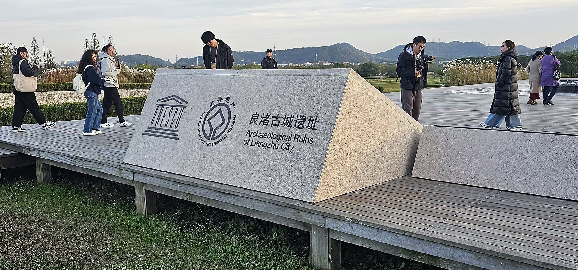
The site entered China’s World Heritage tentative list in 1994. On 6 July 2019, UNESCO inscribed the Archaeological Ruins of Liangzhu City during the forty-third session of the World Heritage Committee. The property covers 1,433.66 hectares and has a buffer zone of 9,980.29 hectares. Its inscription under criteria (iii) and (iv) recognizes exceptional evidence of a late Neolithic regional state and an integrated urban, ritual, technological, and hydraulic landscape.
The World Heritage property includes four interrelated areas: the City Site, Yaoshan, the High-dam at the Mouth of the Valley, and the Low-dam on the Plain together with the Causeway in Front of the Mountains. These areas share a continuous chronology and common social and cultural relationships. The ruins and buffer zone are managed by the Hangzhou Liangzhu Archaeological Site Administrative District Management Committee, and the Liangzhu National Archaeological Site Park, established in 2019, encompasses most of the major archaeological locations associated with Liangzhu culture.
Remains
The surviving remains form an organized landscape of walls, palace terraces, platforms, cemeteries, ritual facilities, waterways, dams, and levees. The city stood in a low-lying basin between hills and plains. The East Tiaoxi River and another watercourse crossed the area, while natural and artificial waterways connected the settlement with its surroundings. About 30 to 32 kilometers of canals, ditches, and moats traversed the city and its outer areas.
City plan and palace terraces
The city followed a three-part plan. A palace area occupied the center, the inner city surrounded it, and the outer city extended beyond the inner walls. The palace area covered about 39 hectares and included three principal raised terraces, Mojiaoshan, Huangfenshan, and Chizhongsi. The wider palatial complex also included the mound foundations known as Damojiaoshan, Xiaomojiaoshan, and Wuguishan.
Mojiaoshan Terrace
Mojiaoshan was a rectangular artificial mound with the form of a truncated pyramid. It measured about 630 meters from east to west and 450 meters from north to south, rising approximately 9 to 15 meters above the surrounding ground. Its builders adapted the natural terrain and added bundles of mud wrapped in grass. Three substantial subsidiary platforms stood on the terrace, and foundations for 35 buildings were found across the main and subsidiary terraces.
Deposits on the eastern slope contained about 26 tonnes of carbonized rice, indicating large-scale storage. Chizhongsi Terrace was also surrounded by water and formed an isolated island. Large quantities of rice found there suggest that it may have served as a protected granary for the city’s rulers.
Huangfenshan and Chizhongsi terraces
Huangfenshan lay southeast of Mojiaoshan. It measured approximately 405 by 343 meters and rose about 7 to 15 meters above the surrounding terrain. An additional platform remains associated with the terrace, although it had not yet been excavated.
Chizhongsi lay southwest of Mojiaoshan and west of Huangfenshan. It measured about 283 by 130 meters and rose approximately 5.2 meters above the surrounding ground. Its position within the water-surrounded palatial complex formed part of the central arrangement of elevated spaces.
Inner and outer city
The inner city was enclosed by rounded-square walls measuring approximately 1,190 meters from north to south and 1,770 meters from east to west. Including the palace area, it covered about 280 hectares. Two natural hills formed its northeastern and southwestern corners.
The walls were truncated earthen embankments with stone foundations and rammed-earth superstructures. They remained in continuous use from approximately 2900 to 2300 BCE. Their circumference was about 6,000 meters, their width ranged from 20 to 60 meters, and their surviving maximum height is about 4 meters. Eight water gates, two on each side, and one southern land gate provided access through the enclosure. A water-filled moat surrounded the walls.
About 20 platforms of different sizes stood within the inner city. They rose approximately 0.6 to 14 meters above the surrounding terrain and supported residences, workshops, and other activities. The largest artificial channel, Zhongjiajun, ran about 1.2 kilometers from north to south and varied from 5 to 75 meters in width. Timber and bamboo reinforced its banks and bed.
Finds beside Zhongjiajun include jade-drilling tools, bowls associated with lacquer production, pottery vessels, and stone and wooden objects, indicating craft workshops along the channel. Human skeletons and skulls were found in the channel bed and on nearby platforms.
The outer city consisted of 17 isolated platforms concentrated mainly northeast and southwest of the inner city. They supported cemeteries, residential areas, and craft workshops. Posts forming the base of a pier and wooden paddles found on one platform indicate that the settlement extended to a riverbank and used water transport.
Hydraulic works
The hydraulic system was an engineered network for controlling, storing, and distributing water. It covered nearly 100 square kilometers and served flood control, irrigation, storage, and transport. Its surviving components include dams, levees, canals, ditches, moats, and water gates.
High-dam at the Mouth of the Valley
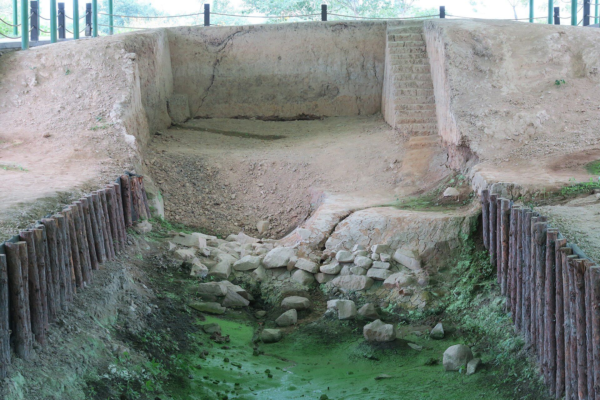
The High-dam at the Mouth of the Valley lay in two mountain valleys northwest of the city and extended for about 2.3 kilometers. Six dams were identified across an area of approximately 76 hectares. Surviving sections are about 100 to 200 meters long and have near-trapezoidal profiles. Their present heights range from about 1.4 to 15 meters, while their crests stand approximately 25 to 40 meters above sea level.
The dams used two foundation techniques. In some places, builders excavated a trench; elsewhere, they laid bundles of mud wrapped in grass. The dam bodies were formed from greenish mud enclosed in yellow clay.
Low-dam on the Plain
The Low-dam on the Plain lay about 3.5 kilometers south of the High-dam at the Mouth of the Valley. Four dams extending for approximately 2.4 kilometers connected isolated low hills. Individual sections ranged from 140 to 400 meters in length and from 80 to 140 meters in width. They had trapezoidal profiles and rose about 6 meters. Their construction used the same techniques as the high dams.
Causeway in Front of the Mountains
The Causeway in Front of the Mountains, also called the Tangshan site, lay about 2 kilometers north of the city and formed the largest surviving element of the hydraulic system. Its surviving section is about 5 kilometers long, 20 to 50 meters wide, and 2 to 7 meters high. It has a trapezoidal cross-section, with a crest approximately 12 to 20 meters above sea level.
The structure had three sections. The eastern section was a straight embankment about 1 kilometer long. The central section consisted of two parallel dams separated by 20 to 30 meters. The western section joined the southern dam before turning south. Builders formed the structure by piling yellow clay over a stone foundation.
Yaoshan ritual area and cemetery
Yaoshan occupied a hilltop about 35 meters above sea level and included a ceremonial altar and an elite cemetery. The altar began as an excavated area with two earthen steps. The upper step was a red-earth platform measuring about 6 by 7 meters, while the lower gray-earth platform rose approximately 70 centimeters. Stone embankments stabilized the edges, of which the northern and western examples survive.
The altar is also described as a rectangular, bucket-shaped earthen platform made from sandy red soil and bordered by stone. It was aligned north to south and measured about 40 meters from east to west and 19 meters from north to south. A square framed feature in its western half measured approximately 9 by 11 meters, with soil of a different color inside the frame.
Thirteen rectangular graves were later cut into and around the altar. They faced due south, ranged from about 2 to 8.8 square meters in area, and were 60 to 160 centimeters deep. Together they contained 754 burial objects, chiefly jade, along with pottery, lacquer-coated jade cups, and stone objects. The distribution of grave goods has been interpreted as indicating women in the northern group and men in the southern group.
Yaoshan yielded hundreds of jade objects, including cong, tubular or rectangular ritual jades, and yue, ceremonial axe-shaped jades. Both forms were associated with authority and ritual symbolism. One carefully worked jade object weighing about 6.5 kilograms is known as the King of Cong.
City cemeteries and burial evidence
Five cemeteries are known within the World Heritage property, including Yaoshan and four cemeteries within the city. Their differing sizes, layouts, proximity to the palace, and quantities and quality of grave goods reflect social divisions within Liangzhu society.
Fanshan Cemetery
Fanshan occupied a separate platform in the inner city and was the most elaborate of the city cemeteries. It dates from about 3000 BCE to the end of the Liangzhu period. Eleven graves contained large assemblages of jade, stone, pottery, and lacquered jade, including exceptionally finely carved jade objects.
Jiangjiashan Cemetery
Jiangjiashan lay near Fanshan in the inner city and dates to the middle Liangzhu period. Its 14 graves contained 425 objects, chiefly jade, together with pottery and bone artefacts.
Wengjiashan Cemetery
Wengjiashan stood on a separate platform in the outer city and dates from about 2600 to 2300 BCE. Its 18 graves contained approximately 400 jade, stone, and pottery objects. The lower quality of the grave goods has been interpreted as evidence for family burial.
Beiyangjiashan Cemetery
Beiyangjiashan occupied an outer-city platform and contained 66 irregularly arranged graves. The graves held 462 objects, mostly pottery and a smaller quantity of jade.
Across the site, jade objects, pottery, lacquered vessels, stone tools, wooden objects, and other excavated materials demonstrate specialized production and the ritual importance of jade. The burial assemblages and their distribution provide physical evidence for differences in status and social organization.