Pueblo Grande Ruin and Irrigation Sites: A Hohokam Archaeological Settlement in Phoenix
Site at a Glance
- Rating
- 4.6
- Popularity
- Medium
- Country
- United States
- Primary era
- Medieval
- External website
- Open
- Eras represented
- Classical, Medieval
- Civilizations
- Hohokam
- Site type
- City
On this page10 sections
History
Pueblo Grande Ruin and Irrigation Sites is a pre-Columbian archaeological settlement in Phoenix, Arizona, United States, associated with the Hohokam archaeological tradition and occupied from approximately AD 450 to 1450. Hohokam communities developed extensive irrigation agriculture and canal networks in the Phoenix basin, and O’odham communities refer to their ancestral civilization by the related name Huhugam. Pueblo Grande grew beside the Salt River as an important settlement connected to water control, agriculture, ceremony, and regional exchange.
Settlement and Irrigation
The site stood on the north side of the Salt River at the headgates, or diversion points, of several major canals. A bend in the river and a bedrock outcrop created favorable conditions for directing water into these channels. Hohokam communities built and maintained irrigation works in the area for almost a thousand years. Other platform-mound settlements along the river may also have helped regulate water distribution to villages farther away, suggesting a highly organized system of canal maintenance.
Pueblo Grande’s ballcourts were probably used for ceremonies, ritual games, and periodic markets. Games may have brought together large gatherings and encouraged regional trade. A connection between these courts and the ballcourts of Mesoamerica remains possible, but it is not established. Hohokam communities discontinued the use of their ballcourts sometime after AD 1100. Many were later filled with refuse, while platform mounds became more prominent at settlements such as Pueblo Grande.
Abandonment and Modern Stewardship
Pueblo Grande was abandoned around AD 1450, at about the same time as many other villages in the Phoenix basin. The cause remains debated. Flooding, drought, warfare, and disease have all been proposed as possible explanations, but no single reason accounts conclusively for the abandonment.
In 1924, Thomas Armstrong donated the platform mound and approximately five acres of surrounding land to the City of Phoenix. The city soon purchased another ten acres to the south, creating the area now known as the Park of Four Waters. Odd S. Halseth became director of Pueblo Grande and Phoenix city archaeologist in 1929, becoming the first city archaeologist in the United States.
The City of Phoenix manages the archaeological resources through the adjacent museum, which was renamed the S’e d av Va’aki Museum on March 23, 2023. The archaeological site is also called S’e d av Va’aki, a name preserved in O’odham oral histories and translated as “Central Platform Mound.” The change reflects the heritage preserved by the institution, while the earlier name used the Spanish word “Pueblo,” meaning town or village, which is not connected to the language of the people whose heritage the site represents. The museum includes exhibition galleries and serves as a repository for archaeological collections from the City of Phoenix.
The site and museum park became a National Historic Landmark District in 1964. A National Historic Landmark is a United States designation for a property recognized as having exceptional national historical importance. On October 15, 1966, the two associated areas were listed separately in the National Register of Historic Places as Pueblo Grande Ruin and Hohokam-Pima Irrigation Sites.
Remains
The archaeological park consists of two adjacent areas belonging to the same historical complex. One contains the platform mound and its surrounding land, while the southern area, the Park of Four Waters, preserves remains of the canal system. Together, the surviving features show how elevated ceremonial or restricted spaces, settlements, ballcourts, and large-scale waterworks were organized around the Salt River.
Platform Mound and Settlement
Raised Platform
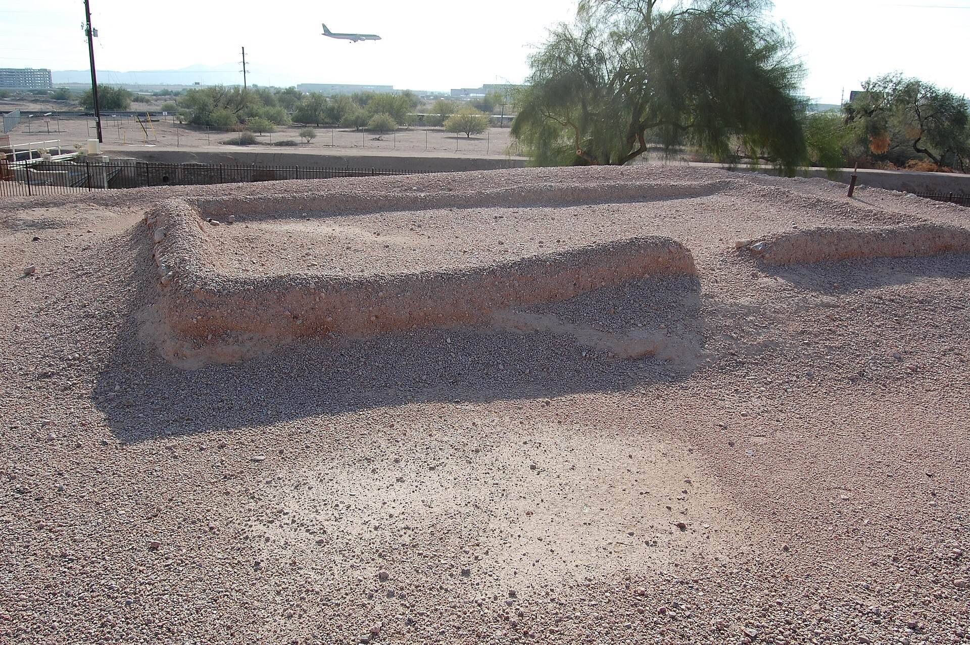
The platform mound contains more than 20,000 cubic meters of fill and ranks among the largest mound structures built by the Hohokam. It began as two low circular mounds around AD 800. Builders enlarged it over time with stone-walled cells packed with refuse and sealed with caliche plaster. Caliche is a naturally cemented, calcium-rich soil or sediment commonly used in construction and surfacing in the arid Southwest. The resulting elevated platform supported structures and was enclosed by a compound wall approximately six to seven feet high, restricting access to the mound.
Buildings and Observatory
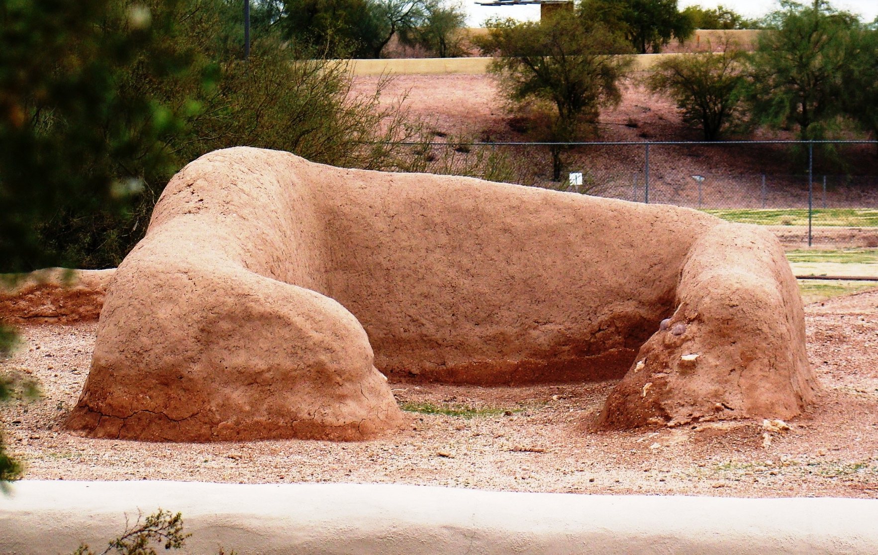
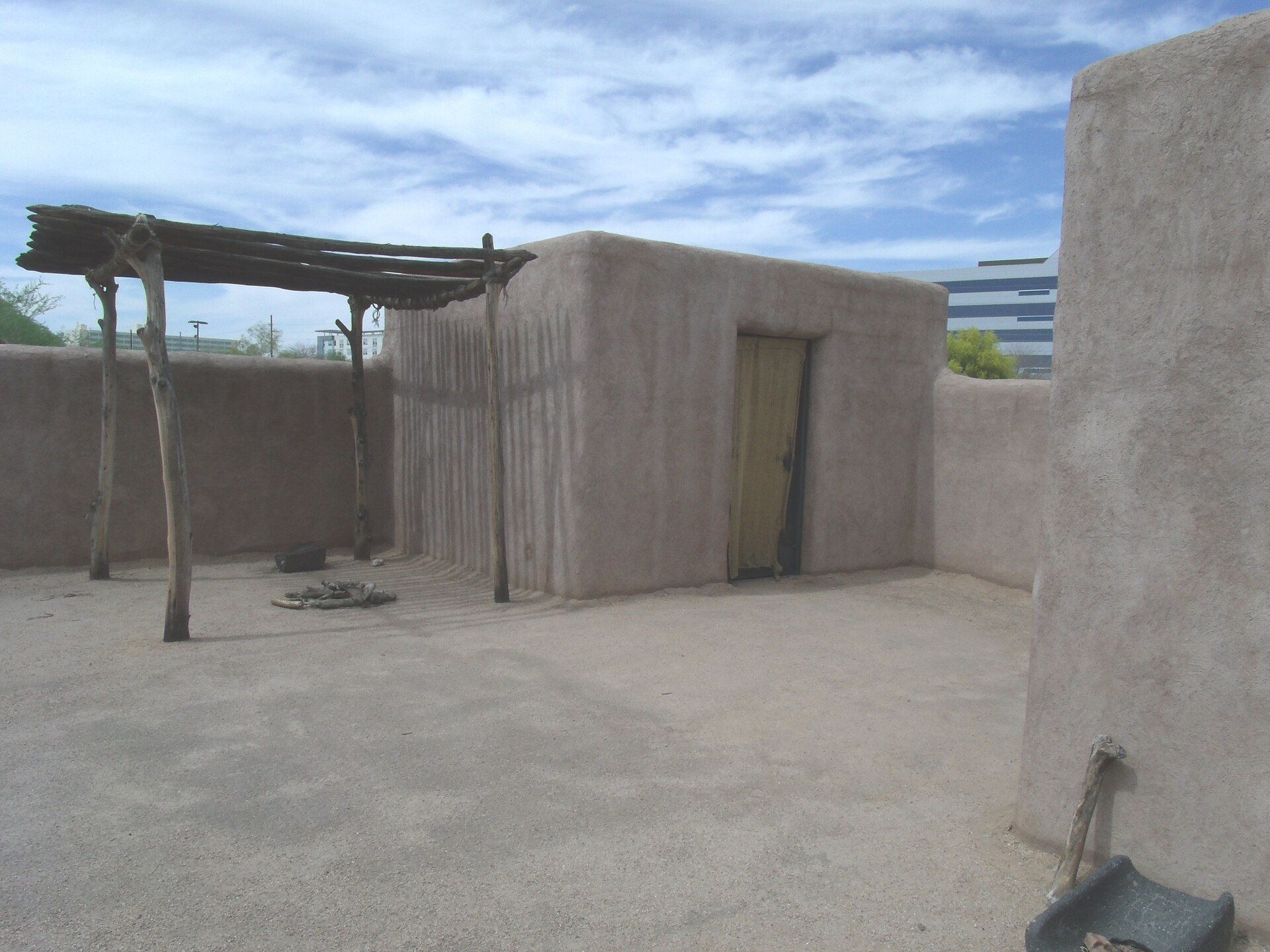
The settlement includes numerous dwellings and the remains of structures associated with the mound. A possible astronomical observatory stood on the platform. In one room, doorways may have aligned at the winter and summer solstices with Hole-in-the-Rock, a natural feature in the Papago Buttes to the northeast. Archival records also refer to a “big house” once located at the site, comparable to the structure at Casa Grande National Monument.
Ballcourts and Canal System
Ballcourts
The ballcourts were publicly accessible spaces associated with possible ceremonies, ritual games, and periodic markets. Their later filling with refuse belongs to the broader change that followed the discontinuation of ballcourt use sometime after AD 1100. The courts therefore form part of the evidence for changing practices within the settlement.
Canals at the Park of Four Waters
The site occupied a strategic position at the headgates of several large canals on the north side of the Salt River. The surviving canal remains are preserved in the Park of Four Waters. The longest canal originating near Pueblo Grande carried water for more than 16 miles toward the area of modern Glendale, demonstrating the extensive reach of the irrigation system connected with the settlement.