Ankai Fort: A Historic Hill Fort in Maharashtra, India
Site at a Glance
- Rating
- 4.5
- Popularity
- Medium
- Country
- India
- Primary era
- Medieval
- Eras represented
- Medieval
- Civilizations
- Unclassified
- Site type
- Military
- Remains
- Fort
On this page13 sections
History
Ankai Fort is a historic hill fort in India, in Maharashtra’s Satmala, or Ajintha Satmal, Hill Range. Built by the Yadavas of Devgiri, the medieval dynasty based at the fortified center now known as Daulatabad, it is described as approximately 1,000 years old. Ankai and neighboring Tankai Fort occupy adjacent hills and were protected by a shared fortification system.
Medieval and early modern control
Ankai was under Ahmadnagar control from 1521 to 1594, before passing into Mughal control. By 1635, Shah Jahan, the Mughal emperor, had secured the fort when his general Khan Khanan captured it by bribing its commander. The fort remained within the Mughal sphere until 1739.
In 1665, Thévenot, a seventeenth-century French traveler and writer, described Ankai and Tankai as stages on the route between Surat and Aurangabad. Their position on this route connected the neighboring forts with movement across the region.
Maratha and British periods
The fort came under Maratha control during the eighteenth century. Its transfer is dated to 1752, following the Treaty of Bhalki. British forces captured Ankai in 1818. The Government of India now owns the fort, whose surviving structures are in ruins.
Remains
Hill setting and shared defenses
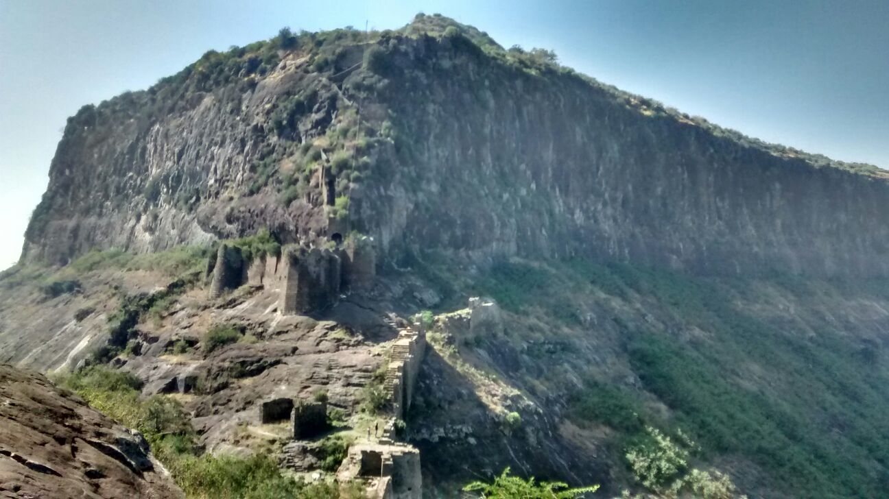
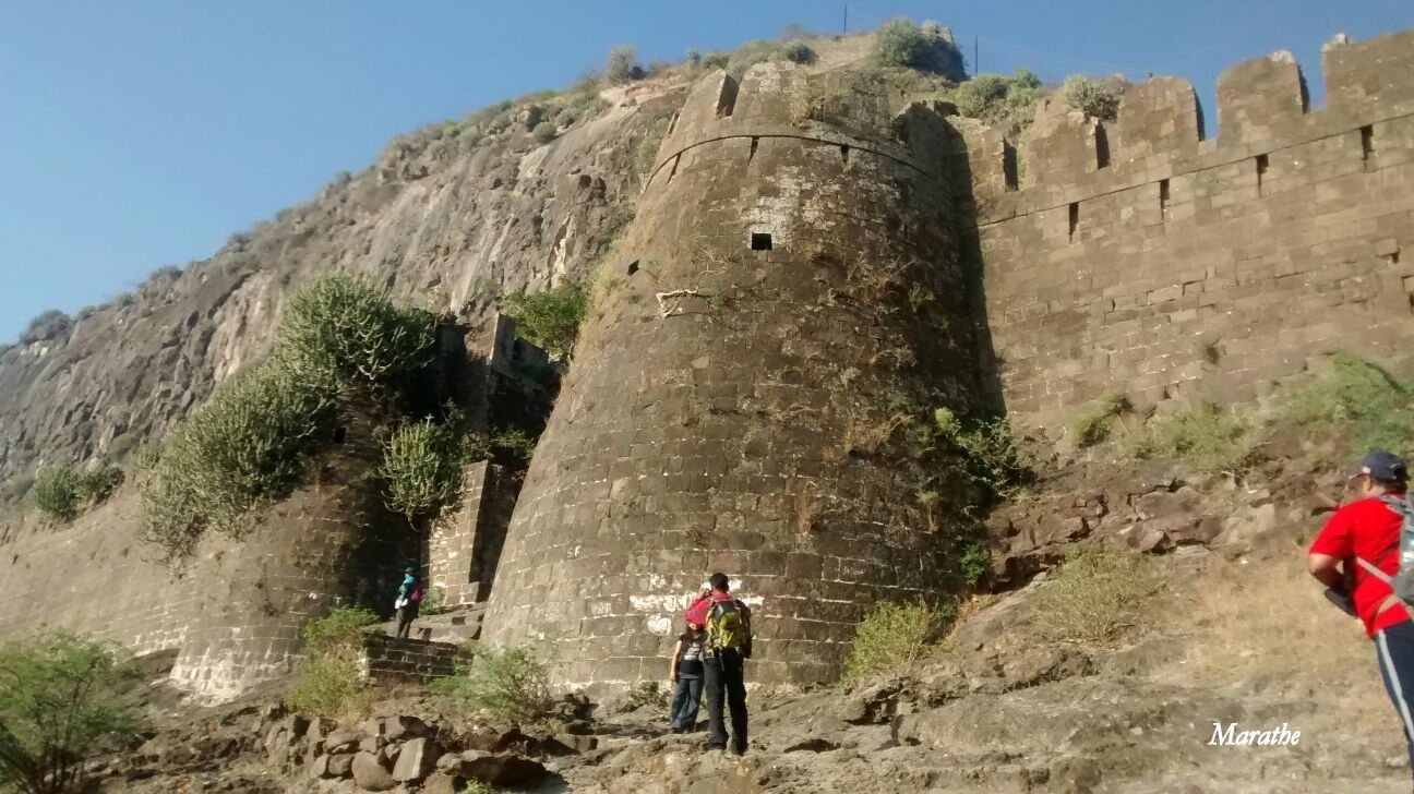
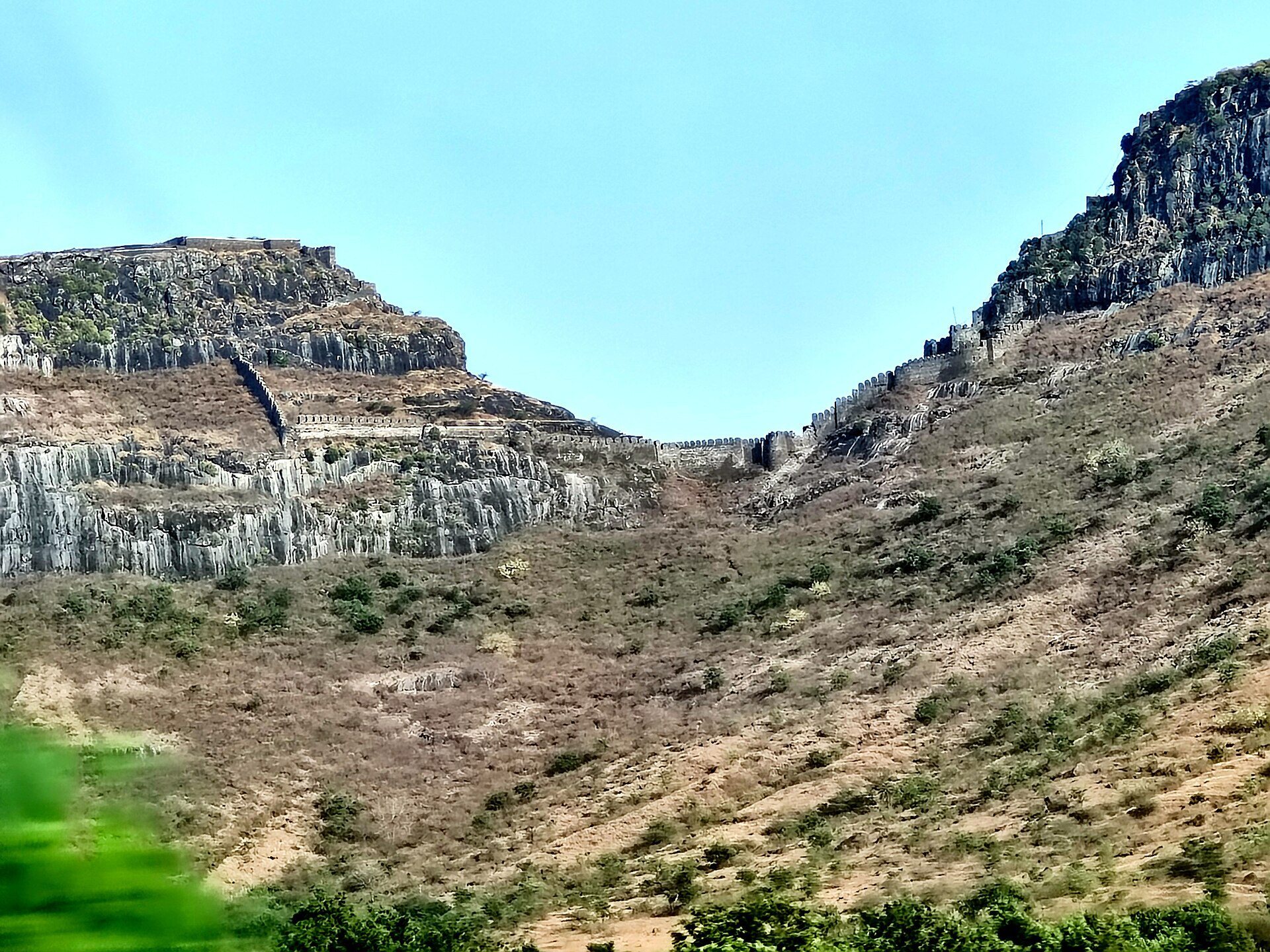
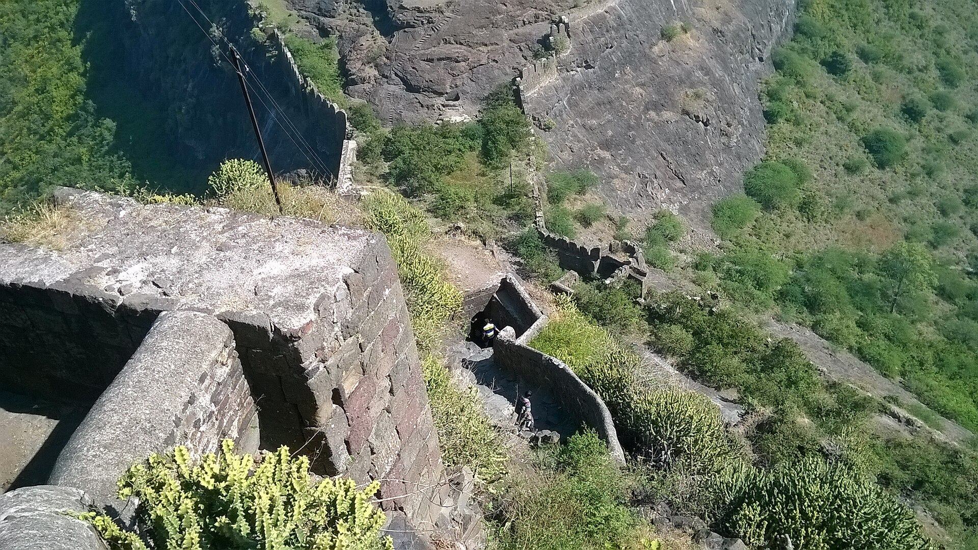
Ankai Fort stands at an elevation of approximately 966.22 metres on a hill whose sides form near-perpendicular scarps, or steep slopes and cliffs. A narrow projection extends on the eastern side. The adjacent hills of Ankai and Tankai are linked by a common fortification, creating a connected defensive system across the two summits.
Religious caves
Jain caves
Jain caves are cut into the foothills on two levels. The upper level contains five caves with well-preserved images of Mahavira, the twenty-fourth and final Tirthankara, or spiritual teacher, of Jainism. The principal cave includes carvings of a yaksha, a nature-associated spirit, Indrani, a Hindu goddess, lotuses, and Mahavira.
Brahmani caves
The Brahmani, or Hindu, caves lie near the entrance to Ankai’s upper plateau. Their ruined interiors retain rock-carved images of Jai and Vijay, together with a Shiva linga, a symbolic representation of the Hindu deity Shiva.
Gates, palace, and water installations
Main Gate
The Main Gate is positioned on the southern side of the hill and retains well-preserved woodwork. It forms one of the principal surviving entrances to the fortified hill.
Manmad Gate
The Manmad Gate stands on the northern side of the col, a low pass or saddle between hills, facing Manmad.
Palace
A large palace occupies the western edge of the plateau. It survives in a dilapidated condition, with its walls forming the principal remains of the building.
Cisterns and Kashi Pond
A series of rock-cut cisterns, reservoirs excavated directly into bedrock, lies on the southern side of the fort. Among those along the route to the palace is Kashi Pond, whose center contains a Tulsi pot engraved in the rock. Tulsi is a sacred Hindu plant commonly known as holy basil.