Son Tay Ancient Citadel: A Nguyen-Dynasty Fortress in Vietnam
Site at a Glance
- Rating
- 4.5
- Popularity
- Medium
- Country
- Vietnam
- Primary era
- Modern
- External website
- Open
- Eras represented
- Modern
- Civilizations
- Nguyen dynasty
- Site type
- Military
- Remains
- Citadel
On this page11 sections
History
Son Tay Ancient Citadel is a Nguyen-dynasty fortress in Vietnam, in the Hanoi area, built in 1822 during the reign of Emperor Minh Mang. The Nguyen dynasty was Vietnam’s imperial ruling house during the nineteenth century. Planned according to the Vauban system, a geometrical style of military fortification associated with artillery defenses and surrounding ditches, the citadel became an important military center in northern Vietnam.
Resistance to French expansion
During the second half of the nineteenth century, Son Tay became one of the centers of resistance to French colonial expansion. At the beginning of the Second Tonkin Campaign, a series of French operations to establish control over northern Vietnam in the 1880s, the citadel held a large force of the Black Flag movement alongside Vietnamese and Chinese troops. The Black Flag movement was a nineteenth-century military organization active in northern Vietnam and southern China, led principally by Liu Yongfu. Its forces threatened Hanoi, which was occupied by the French.
On 16 December 1883, a French force of 6,000 commanded by Admiral Amédée Courbet captured the citadel in an assault. Courbet was a French admiral and military commander involved in France’s campaigns in East Asia. The Western Gate was the principal direction of this attack.
Later historical status
In 1924, an order of the governor-general of French Indochina placed the citadel on the list of historical monuments of Tonkin, the historical name for northern Vietnam. In December 1946, one session of the government of the Democratic Republic of Vietnam took place inside the citadel. The Vietnamese Ministry of Culture and Information recognized Son Tay as a state architectural monument in 1994.
Remains
Fortified enclosure and moat
Citadel walls
The citadel has an approximately square plan, with sides about 400 metres long and an enclosed area of 16 hectares. Its walls originally reached about 5 metres in height and extended for approximately 1.6 kilometres. Stone formed the core of the walls, while locally produced brick covered their outer faces. Loopholes accommodated firearms and artillery. Along most of the enclosure, the lower base tier survives, while the northern wall section has been completely restored.
Surrounding moat
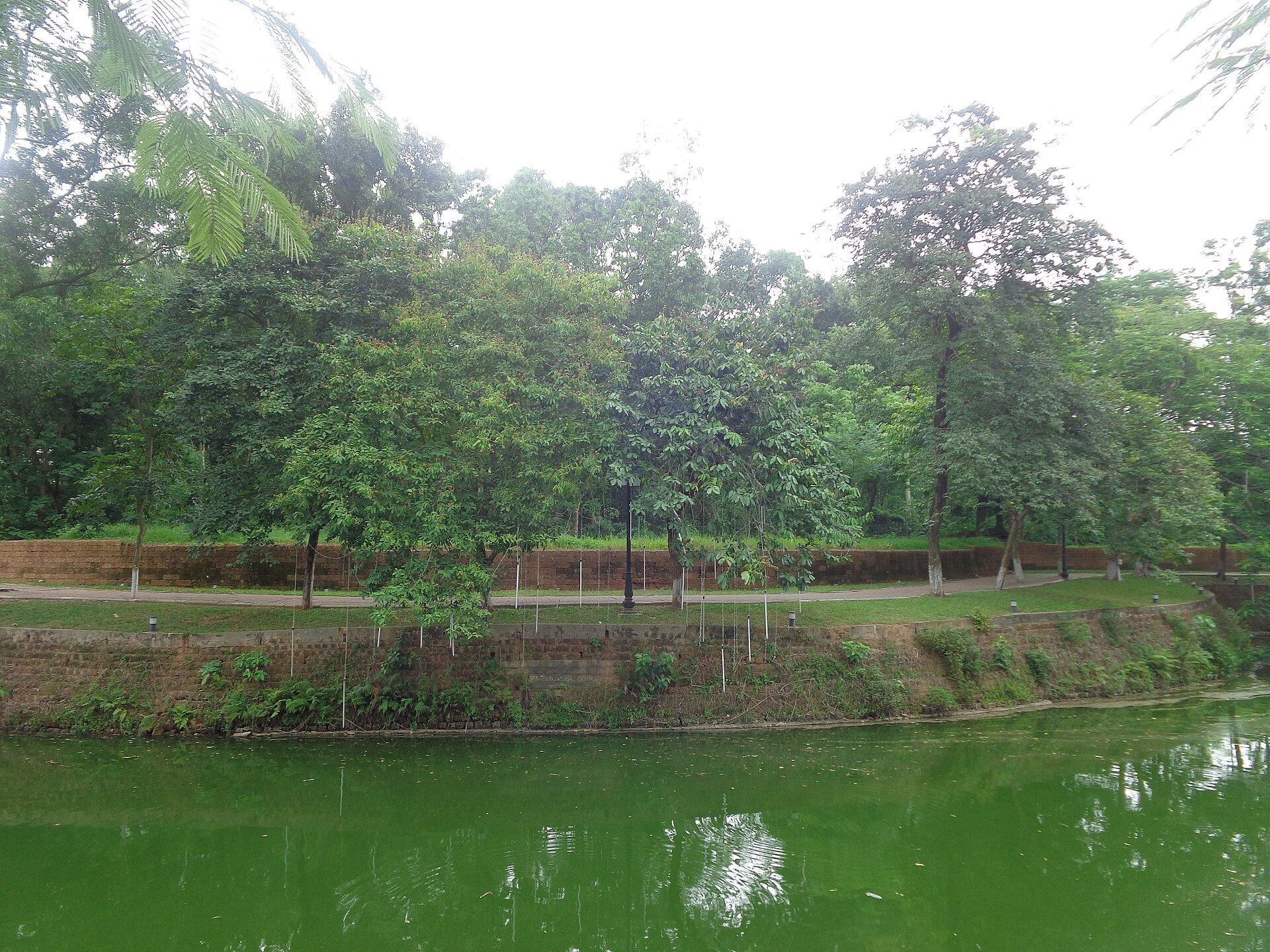
A moat surrounds the citadel. It is about 3 metres deep, up to 20 metres wide, and approximately 1,795 metres long. Water entered its southwestern section from the Tich Giang River, and both slopes were faced with brick. Four bridges originally crossed the moat toward the four gates, while the Northern and Southern Bridges survive.
Gates and interior features
Four directional gates
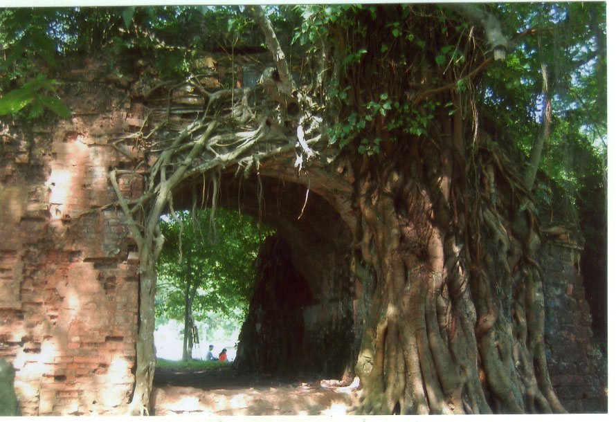
A gate stood at the center of each wall. They were known as the Southern or Front Gate, Northern or Rear Gate, Western or Right Gate, and Eastern or Left Gate. The Northern and Southern Gates provide the current entrances. The Northern Gate and adjoining wall have been completely restored. The Western and Southern Gates retain their general forms, although their small upper-level towers have not survived.
Restored interior features
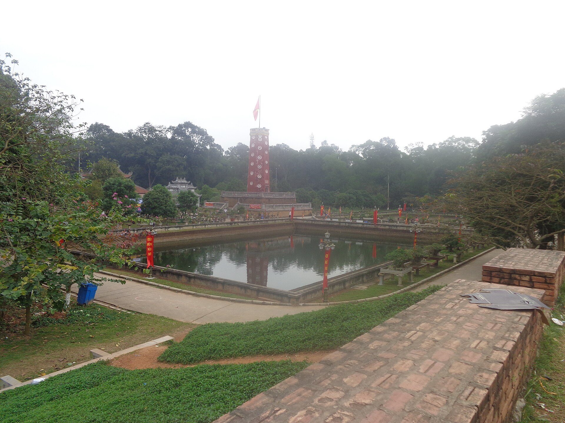
The traditional Flag Tower, rising 18 metres, has been restored inside the citadel, together with the governor’s palace and two ponds. The Kinh Thien Palace formerly stood within the enclosure and served as a temporary residence for emperors travelling through northern Vietnam.
Outer defenses
During the Tonkin Campaign, the citadel’s defenses also included an irregular, diamond-shaped outer ring of earthen fortifications with five gates. An earthen embankment linked this outer system to the Phu Sa fortification on the bank of the Red River.