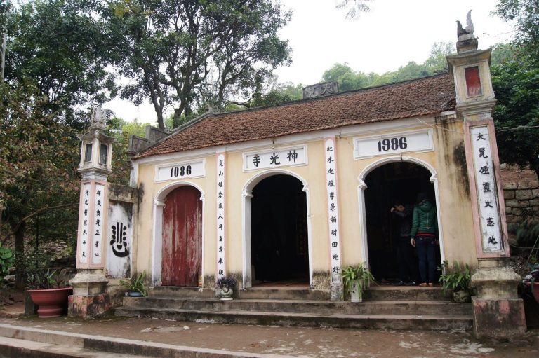
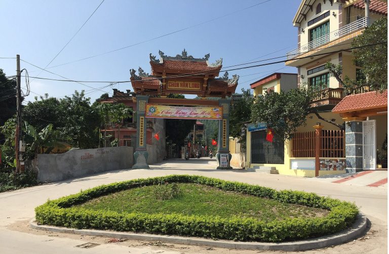
Co Loa Citadel: An Ancient Fortified Capital of Âu Lạc
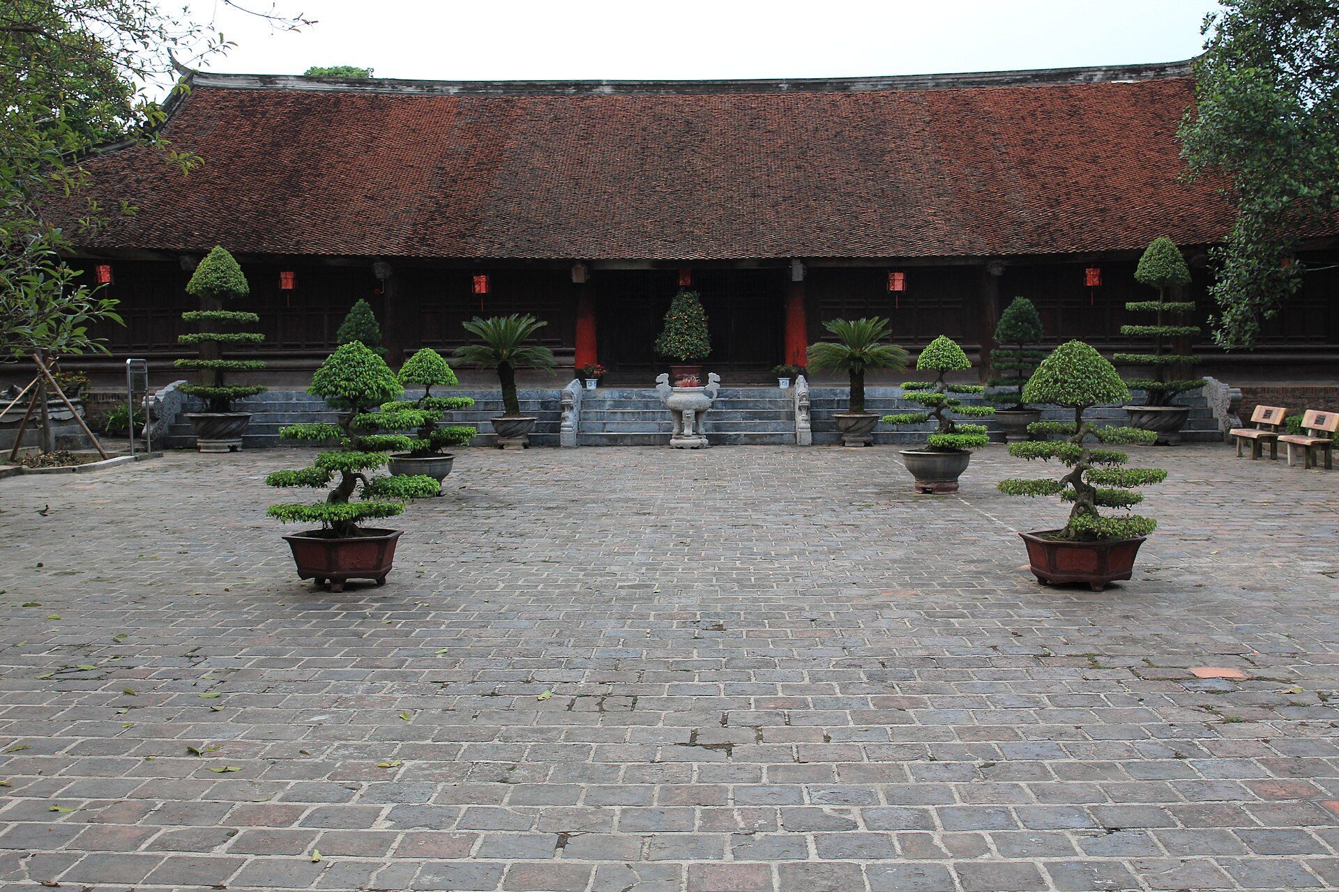
Site at a Glance
- Rating
- 4.5
- Popularity
- Medium
- Country
- Vietnam
- Primary era
- Classical
- External website
- Open
- Eras represented
- Iron Age, Classical
- Civilizations
- Unclassified
- Site type
- Military
- Remains
- Citadel
On this page17 sections
History
Co Loa Citadel is an ancient fortified city and archaeological site in Thôn Cổ Loa, Đông Anh, Hanoi, Vietnam. Associated with the early Vietnamese state of Âu Lạc, it became a capital in approximately the third century BCE and occupied a strategic position where Red River Delta waterways and land routes met. Bronze Age remains linked with the Phùng Nguyên and Đông Sơn cultures connect the site with a much earlier history of settlement and metalworking.
The Âu Lạc capital
Co Loa was the capital of Âu Lạc under An Dương Vương, the royal title of Thục Phán, who is traditionally credited with founding the state. A foundation tradition dates the establishment of the capital to 257 BCE, after Thục Phán defeated the last Hùng king of Văn Lang and united Âu Lạc with that predecessor state. The move of the political center from Phong Châu to Co Loa shifted power from the midland foothills into the Red River Delta.
The settlement was associated with Phong Khê, a prosperous community of farmers, fishers, craft workers, and a large population. Its location allowed the rulers of Âu Lạc to control routes between the delta and upland areas, while waterways linked the Red River with the Thái Bình River system. Building the capital required extensive labor and resources. Its military organization combined fortified embankments, moats, forward earthworks, naval forces, and infantry, while separate residential areas for the ruler, officials, soldiers, and ordinary inhabitants reflected pronounced social and economic differences.
Foundation traditions and the fall of Âu Lạc
Traditional stories explain the unusual spiral association of Co Loa. Repeated wall collapses were attributed to hostile spirits until a golden turtle appeared in a dream after ritual appeals. The creature advised An Dương Vương and enabled the completion of the citadel. Another tradition says that the turtle gave the ruler one of its claws, which Cao Lỗ, portrayed as a military engineer, used to make a powerful repeating crossbow known as the Divine Golden-Claw Crossbow. The weapon was believed to protect Âu Lạc from invasion.
The traditional account of the citadel’s fall centers on Trọng Thủy and Mị Châu. Mị Châu, An Dương Vương’s daughter and Trọng Thủy’s wife, unknowingly revealed the secret of the crossbow. This allowed the kingdom of Nam Việt, established by Zhao Tuo in northern mainland Southeast Asia after the collapse of the Qin dynasty, to defeat Âu Lạc and capture its capital. The narrative describes an invasion by forces from Qin China, followed by Zhao Tuo’s seizure of northern Âu Lạc. When the crossbow failed, An Dương Vương abandoned Co Loa with Mị Châu, and the kingdom subsequently fell.
Later political importance
Co Loa remained an important political center for Vietnamese communities until the tenth century. In 939, Ngô Quyền, the ruler who established the Ngô dynasty, made the site his capital again. Co Loa was sacked in 965 during the period known as the Anarchy of the Twelve Warlords, a time when competing regional rulers divided political authority.
A wall section dating to approximately 400–350 BCE indicates activity before the Han annexation and colonization of the region. The wall has been interpreted as the work of local communities, although the use of stamped earth, a technique that builds compacted defensive walls in layers, has also been proposed and remains under study. Excavations have taken place in several phases. A 1970 investigation found Đông Sơn pottery beneath a collapsed outer wall, while work in the 1980s recovered a large bronze drum outside the inner wall. Investigations in 2004–05 identified cultural layers inside the inner-wall area, and excavations in 2007–08 exposed the full width of the middle wall and revealed three construction periods comprising five major phases.
Elite and royal-type finds were concentrated within the citadel’s enclosures, supporting interpretations of centralized production and control. Co Loa has consequently been described as possibly the first political center of Vietnamese civilization and as one of the earliest cities in Vietnamese history. Its continuing cultural importance is expressed in an annual ceremony on the sixth day of the first lunar month, when local residents commemorate the people who built the citadel and especially honor An Dương Vương. On 27 September 2012, Vietnam designated Co Loa a nationally special historical, architectural, artistic, and archaeological relic.
Remains
Co Loa’s surviving layout consists of three principal concentric rampart systems surrounding a rectangular inner citadel. The earthworks follow the natural contours of hills and mounds rather than forming regular straight lines. Each circuit was paired with a water-filled moat, while additional mounds and elongated or circular embankments formed forward defensive positions. Together, the walls, channels, waterways, and earthworks created an irregular defensive system capable of supporting coordinated naval and infantry movement.
Concentric ramparts
Outer circuit
The outer rampart has a perimeter of approximately 8 km and encloses an area described as about 600 hectares. Its average height is 3–4 m, although some descriptions place surviving sections as high as 12 m, with a base approximately 25 m wide. The Hoàng River formed a natural moat along its southern and southeastern sides, while other sections were bordered by dug channels. The outer face was steep and the inner face more gradual, making the wall harder to attack from outside and easier to defend from within.
Middle circuit
The middle circuit extends for approximately 6.5 km and reaches about 10 m at its highest point, with an average top width of about 10 m. Gates stood on the east, north, northwest, and southwest sides. Its eastern gate connected with the Red River system, bringing the defensive circuit into the wider network of waterways around the citadel.
Inner circuit
The inner circuit is rectangular and measures approximately 1,650 m around. It rises about 5 m above the surrounding ground, with a top width of 6–12 m and a base 20–30 m wide. The enclosed central area covers approximately 2 km². Its gate is oriented toward the Ngự Triều Di Quy architectural complex. Tradition describes nine spiral circuits, but the surviving remains show three principal circuits. The inner circuit may have been added later, possibly during the rule of Ngô Quyền.
Waterways and forward defenses
Moats and river channels
Moats generally measure 10–30 m across, with wider sections in some places, and connect with one another and with the Hoàng River. The channel beside the outer wall ran from Cột Cờ Hill to Đầm Cả, joined the middle circuit at Đầm Cả and Xóm Mít, and passed through the Cống Song gate into branching channels leading toward the inner moat. The Hoàng River is now a small channel, but it formerly acted as a major tributary between the Red River and the Cầu River.
Harbor and connected waterways
Boats could move through all three moat circuits, reach Đầm Cả for anchorage, or continue into the Hoàng River and the larger Red River and Thái Bình waterway networks. Đầm Cả, a large body of water east of the citadel, functioned as a harbor capable of accommodating hundreds of boats. The surrounding system also included the Thiếp, Ngũ Huyền Khê, and Hoàng Giang waterways, which formerly connected with the Cầu and Red rivers.
Forward earthworks
Earth mounds and elongated or circular embankments stood between the circuits and beyond the outer wall. Locally known examples include Đống Dân, Đống Chuông, and Đống Bắn. These positions supported the main walls and moats as forward defenses. Their placement contributed to the maze-like arrangement of irregular walls, water channels, and earthworks.
Construction and archaeological finds
Earth, stone, and ceramic reinforcement
The ramparts were formed by excavating soil for the moats and depositing it to build the embankments. Earth was supplemented with stone and broken ceramics. Stones and cobbles stabilized the wall bases, while heavier stone revetment strengthened sections beside rivers and ponds. Layers of ceramic fragments were embedded in the earth, especially around rampart bases and edges, to reduce erosion and collapse. Excavated stones range from approximately 15 cm to 60 cm in diameter. More than two million cubic metres of earth are estimated to have been moved for the fortress and its moats.
Roofing materials and bronze production
Excavations recovered very large quantities of roofing material, including tubular tiles, flat tiles, tile ends, and roof nails. The tiles were fired at different temperatures, from relatively low temperatures to near-stoneware hardness, and some carried decoration on one or both surfaces. Other finds include ancient graves, bronze axes with oblique blades, bronze drums, bronze ploughshares, ceramic eaves tiles, and moulds for casting arrowheads.
Bronze drum and weapons
A 72 kg bronze drum found outside the inner wall measures approximately 57 cm high, with a tympanum 73.6 cm in diameter. Its interior contained about 200 bronze objects, including approximately 20 kg of scrap metal, socketed hoes, ploughshares, axes, and spearheads. The hoard included 96 ploughshares, six hoes, a chisel, 32 socketed axes of various forms, 16 spearheads, one dagger, and eight arrowheads. One spearhead was bimetallic, with an iron blade fitted into a bronze socket.
Tens of thousands of three-edged bronze arrowheads and arrowhead casting moulds reflect the military organization associated with the citadel. Đông Sơn-style pottery occurs in stratified layers beneath the walls, alongside bronze tools and weapons. These remains, together with the citadel’s large earthworks and waterways, reveal a fortified capital built through organized labor, centralized production, and control of both land and water movement.