Tsuru Katsuyama Castle: A Mountain Fortress in Japan
Site at a Glance
- Rating
- 3.8
- Popularity
- Very Low
- Country
- Japan
- Primary era
- Early Modern
- External website
- Open
- Eras represented
- Early Modern
- Civilizations
- Toyotomi regime
- Site type
- Military
- Remains
- Castle
On this page16 sections
History
Tsuru Katsuyama Castle was a mountain castle in Japan, located at Kawadana in Tsuru, Yamanashi. Its origins remain uncertain, but it was associated with the Oyamada clan during the Sengoku period, an era of prolonged rivalry among regional lords from the fifteenth to the late sixteenth century, and was later developed as an early-modern castle under lords affiliated with the Toyotomi regime.
The Oyamada stronghold
The Oyamada were a powerful local clan in the Tsuru region. By 1527 they were based at Nakatsumori Residence, and during the tenure of Oyamada Nobuari they submitted to the Takeda, the ruling house of Kai, becoming part of the Takeda military organization. A fire in 1532 prompted the relocation of their residence to Tanimura, where a new castle town was established.
This move is closely connected with the proposed Sengoku-period establishment or use of Tsuru Katsuyama Castle. One interpretation holds that the Oyamada built or maintained the fortification to replace Iwadono Castle as the mountain stronghold of Tanimura Residence. Another regards it as a facility for controlling routes between Yoshida, Oshino, and Otsuki, taking over the earlier role of Nakatsumori Residence. Neither theory has been confirmed by decisive documentary or archaeological evidence.
Earlier scholarship treated Iwadono Castle, farther north along the Katsura River, as the stronghold of Tanimura Residence. The closer position of Tsuru Katsuyama Castle now makes it a better fit for the usual relationship between a Sengoku-period principal residence and its defensive mountain stronghold, although the precise date and founder remain unresolved.
Takeda, Later Hojo, and Tokugawa conflict
Political conditions in Tsuru changed as the Takeda, the Later Hojo, and the Imagawa formed alliances and entered into conflict. The region was relatively stable after the Takeda and Later Hojo alliance of 1544 and subsequent agreements among the three powers. Tensions returned after the alliance broke down between 1568 and 1572, and again from 1578 onward.
The Takeda domain collapsed during the Oda and Tokugawa invasion of March 1582. Oyamada Nobushige abandoned Takeda Katsuyori and entered Oda service, but he was executed, and the Oyamada clan was destroyed. Its retainers dispersed. Kawajiri Hidetaka then received Kai Province, including Tsuru, from the Oda, but his authority lasted only briefly. He died during the uprising that followed the Honno-ji Incident in June 1582.
The ensuing Tensho-Jingo War was fought among Tokugawa Ieyasu, Hojo Ujinao, and Uesugi Kagekatsu for control of the former Takeda territories in Kai and Shinano. The Later Hojo gained control of Tsuru and its transportation routes, including the area around Tanimura and Tsuru Katsuyama Castle. Their exact occupation of the castle and the extent of any building work there remain uncertain.
Written records indicate that the Later Hojo may have used Tanimura as a base and may have repaired Tanimura Residence and Tsuru Katsuyama Castle after work at Misaka Castle. A Tokugawa record dated 7 November 1582 refers to construction at a place called Katsuyama, but the name may have referred to Tanimura Castle rather than Tsuru Katsuyama Castle. Tokugawa Ieyasu placed Torii Mototada in the Tsuru region, although Mototada is said to have administered the area from Iwadono Castle.
Toyotomi-period development
After the Later Hojo fell in the 1590 Odawara Campaign, Tokugawa Ieyasu was transferred to the Kanto region and the Toyotomi regime consolidated control over Japan. Kai, especially Tsuru, became a frontier between Toyotomi-affiliated domains and Tokugawa territory. Hashiba Hidekatsu governed Kai from August 1590 to February 1591, followed by Kato Mitsuyasu until January 1594. Asano Nagamasa and Asano Yukinaga then governed until 1600.
Tsuru was administered separately from central and southern Kai because it faced the Tokugawa domain. Asano Ujishige served as the principal official responsible for the region, assisted by subordinate administrators. The Kai Provincial Gazetteer attributes the construction of Tsuru Katsuyama Castle to Ujishige and states that a Hachiman shrine once on the summit was moved during the Asano period.
That attribution is not certain. A donation document from 1594 calls Ujishige “lord of the castle,” suggesting that the castle already existed when the Asano entered Kai. A timber requisition issued by Ujishige in the same year may relate to repairs at Tsuru Katsuyama Castle, although it may instead concern the construction of Kofu Castle. No decisive evidence has established construction by Ujishige or by the Hashiba, Kato, or Asano administrations.
The surviving high stone wall has features associated with Toyotomi-period castle building and is generally interpreted as an Asano-period repair or rebuilding of earlier stone defenses. Its construction techniques appear to have been developed with awareness of Kofu Castle, leading to the interpretation that Tsuru Katsuyama Castle functioned as a satellite of that larger stronghold.
Edo-period functions and later changes
In the Edo period, Tsuru Katsuyama Castle became a subsidiary castle of Tanimura Castle, the administrative seat of the Tanimura Domain. Castle plans indicate that the two castles were connected by two inner bridges. The mountain fortress also became associated with the transport of tea from Uji to Edo. Tea containers returning along the Nakasendo and Koshu highways were stored over the summer in a storehouse at Tanimura associated with the castle. Tradition attributed the storehouse to the Akimoto clan during the Kan’ei era, although excavation has not confirmed that attribution.
The castle gradually lost its primary military role. Tanimura and Kawatana villages jointly managed the mountain and restricted entry. A petition from 1821 seeking permission to develop fields on the site points to later agricultural reuse. Artifacts and later features also indicate religious or occasional nighttime activity after the decline of its military function. A shrine or small religious structure is inferred from the finds, while the large quantity of lighting dishes suggests that people sometimes entered the mountain at night.
In 1941, a Toshogu shrine, dedicated to Tokugawa Ieyasu as the deified founder of the Tokugawa shogunate, was moved from the grounds of Tanimura First Elementary School to the summit. The site is now maintained as Shiroyama Park, designated a prefectural historic site, and included among Tsuru’s “Twenty-One Distinguished Peaks.”
Investigations carried out from 2005 to 2008 by Tsuru’s Board of Education and an academic investigation committee combined archaeology, documentary study, urban history, and research on stone objects. They identified a gate site with stonework, a high stone wall, the main-bailey tower platform, and a probable tea-container-storehouse site. The work also examined the relationship between the castle and the Tanimura castle town, but it produced no decisive new evidence for the construction date.
Remains
Hilltop layout and natural defenses
Tsuru Katsuyama Castle occupied Shiroyama, an independent granite hill formed where the Katsura River cut into a lava plateau derived from Mount Fuji. The hill rises to approximately 571 meters above sea level and about 100 meters above the surrounding ground. The castle area extends roughly 580 meters from east to west and 640 meters from north to south, with a perimeter of about 2 kilometers and an area of approximately 250,000 square meters.
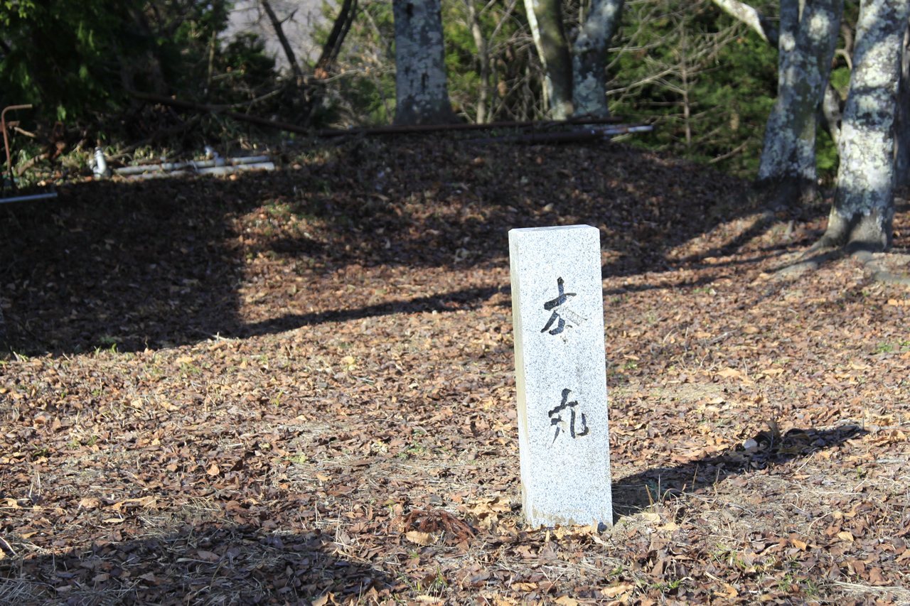
The leveled summit contains the main bailey, the principal fortified enclosure, together with second and third baileys. Further fortified enclosure groups occupy the northern, eastern, and southern ridges. The Katsura River forms a natural defensive ditch along the southern, eastern, and northern sides of the hill, while artificially cut outer ditches strengthened parts of the southern and western approaches. An inner ditch lies west of the main bailey.
Main bailey and tower platform
Excavation in the main bailey identified postholes belonging to structures and a tower platform at its southwestern corner. A tower platform was a raised base for a watchtower or defensive tower. This example is an earthen embankment rather than a stone-built base, and no roof tiles were found there. The main-bailey remains form part of the summit complex with the second and third baileys.
Ridges, ramparts, and ditches
Parts of the earthen ramparts and cut ditches survive across the hill. The combination of the high western stone wall and the tower platform indicates particular defensive attention to the western side, which faced the Tanimura castle town. Level ground and a north-south mountain route lay west of the castle, although part of this terrain was later destroyed by construction of the Chuo Expressway’s Fuji-Yoshida route.
Stone defenses and entrances
Western stone wall
A high stone wall stands on the west side of the main bailey. Its construction features are characteristic of Toyotomi-period castles, and it is generally regarded as an Asano-period repair or rebuilding of the castle’s stone defenses. The wall’s scale and position have been used to associate the castle’s defensive design with Kofu Castle and to interpret Tsuru Katsuyama as a satellite of that stronghold.
Gate site and planned walls
Research identified a gate site with stonework. Castle plans also depict additional stone walls on the northern side, but those walls have not been confirmed in the field. Fourteen plans showing Tsuru Katsuyama Castle with Tanimura Castle and its town have been identified. Most are early-modern or modern manuscript copies whose original dates and originals are unknown.
A plan titled “Plan of Tanimura Castle in Kai,” held by the National Diet Library, is the only known plan devoted exclusively to Tsuru Katsuyama Castle. The other plans present it together with Tanimura Castle and the surrounding settlement. Their depiction of two inner bridges between the castles reflects the administrative relationship between the mountain castle and the domain seat.
Roads, river, and associated features
Transport routes
The eastern side of the castle was associated with the Fuji Road, which branched from the Koshu Highway and ran north to south toward Yoshida. It passed beside the castle and the Tanimura administrative center and also served as a pilgrimage route for people traveling toward Mount Fuji. The castle’s position beside the Katsura River and below this wider transport corridor helps explain its relationship to regional movement and administration.
Tea-container storehouse
A probable tea-container-storehouse site was identified near Tanimura. The building was associated with the early Edo-period transport of tea from Uji to Edo, when containers returning along the Nakasendo and Koshu highways were kept over the summer. A storehouse was traditionally linked to the Akimoto clan during the Kan’ei era, but excavation has not confirmed that attribution.
Archaeological and religious remains
Excavated material includes unglazed earthenware vessels, ceramics, nails, tobacco pipes, firearm projectiles, coins, and other metal objects. The ceramics include seventeenth- and eighteenth-century bowls, late nineteenth-century lighting dishes, small cups, sake flasks, and Meiji-period teacups and teapots. The coins consist mainly of Kan’ei Tsuho and Northern Song issues.
The former Hachiman shrine was traditionally said to have stood on the summit before being moved to Hachikubo Mountain during the Asano period. The Toshogu shrine now occupies the summit after its transfer there in 1941. Together with the lighting dishes and other later finds, these religious features reflect continued use of the mountain after the castle’s principal military purpose had declined.