Tukums Castle: A Livonian Order Road Station in Latvia
Site at a Glance
- Rating
- 4.5
- Popularity
- Low
- Country
- Latvia
- Primary era
- Medieval
- External website
- Open
- Eras represented
- Medieval, Early Modern
- Civilizations
- Duchy of Courland and Semigallia, Livonian Order
- Site type
- Military
- Remains
- Castle
On this page17 sections
History
Tukums Castle is a stone castle of the Livonian Order in Tukums, Latvia, built around the transition from the thirteenth to the fourteenth century as a fortified road station and economic center. It stood on a hill north of the Slocene River beside a medieval route linking Riga with Kandava, Kuldiga, and Prussia, a position that led to Tukums being known as one of the Gates of Kurzeme.
Frontier Settlement and the Livonian Order
During the thirteenth century, the area lay near the frontier between the Livs, Curonians, and Semigallians. These were neighboring peoples of the eastern Baltic, with the Livs speaking a Finnic language and the Curonians and Semigallians belonging to the Baltic peoples. The region was associated with the Curonian leader Lamekin. In 1253, the division of Fredecuronia transferred Tukums and several surrounding districts and lakes to the Livonian Order, a Catholic military-religious order that governed much of medieval Livonia.
Before the stone castle was built, a Curonian or Liv hillfort stood on Vilkaju Hill, about 1.5 kilometers to the northwest. Used from the tenth to the twelfth century, it probably controlled the road and the waterway. It may have remained in use until about 1300, when an Order official responsible for collecting taxes moved to the developing stone castle. Archaeological finds also point to an earlier Liv and Curonian settlement north of the castle, beneath the later market-square area.
The exact date of the stone castle’s construction is uncertain. Proposed dates include 1277, 1299, and around 1300, while another tradition connects its foundation with Master Gottfried von Rogge, who led the Livonian Order from 1298 to 1307. The year 1330 has also been associated with Tukums, although it may refer instead to a mill and dam built on the Slocene River.
Road Station and Commercial Center
Tukums was initially linked to the Kandava administrative district. By 1416, it had become administratively separate from the Kandava bailiwick, although the jurisdiction of nearby Jaunpils remains less certain in the surviving records. A castellan, an official responsible for administering and defending a castle, was usually based in Riga, while a castle commander exercised local authority.
In the fourteenth and fifteenth centuries, Tukums served several connected purposes. It was a fortified road station, supply depot, economic center, and lodging place for travelers. A small permanent Livonian Order presence was maintained there, and the castle was directly subordinate to the Order’s masters. In 1422, Tukums was described as a supply estate about 85 kilometers from Riga. In 1438, it was called a strong fortress used mainly for economic purposes.
The site also occupied an important position on an east-west water route formed by the Venta, Abava, and Slocene rivers. Tukums and the associated subsidiary castle at Šlokenbeka were the easternmost fortified points on this route. A settlement had grown beside the castle by 1445. A wooden chapel was built near the market square around 1450, a parish existed by 1459, and a second chapel stood inside the castle.
Livonian representative assemblies, known as landtags, met at Tukums in April 1463 and June 1481. During the later fifteenth century, the Livonian Order expanded the castle’s commercial role. Tukums became involved in importing and exporting goods, bringing it into conflict with Riga’s commercial interests.
War, Rebuilding, and the End of Livonian Rule
In 1484, renewed conflict between Riga and the Livonian Order brought an attack on Tukums. Riga’s forces captured the castle, burned the settlement, and took the Order’s bailiff prisoner. The castle was later rebuilt. During the second half of the fifteenth century, the Order’s vassal Werner von Butlar probably established the subsidiary castle of Šlokenbeka about four to five kilometers east of Tukums.
Master Wolter von Plettenberg frequently stayed at Tukums between 1494 and 1522 and issued more than twenty documents there. In 1506, he received envoys of the Grand Master of the Teutonic Order at the castle. An eighteenth-century drawing still showed a lime tree traditionally associated with Plettenberg beside the southern castle wall.
In 1561, as the Livonian Order state ended and the Livonian War began, Tukums Castle was pledged with other castles to King Sigismund II Augustus of Poland. The Duchy of Courland and Semigallia was then created from former Livonian Order territories as a hereditary duchy under the Polish-Lithuanian Crown. Gotthard Kettler, the last master of the Livonian Order, became its first duke.
By 1564, the castle was described as plundered and in poor condition. The Courland Diet debated whether restoration was worthwhile, but Duke Kettler ordered repairs and strengthening because Tukums was the only major Courland castle near the Gulf of Riga. Dietrich Schenking directed the construction work. In 1567, the ruined wooden church at Tukums was replaced by a stone church.
Seventeenth-Century Military and Administrative Use
During the Polish-Swedish War, about 4,000 Swedish troops landed near Plienciems in 1605. They captured and burned the undefended castle and took its commander, Mathias Schenking, prisoner. The town was plundered, and the church treasury and bells were removed. Swedish forces continued to raid Tukums. The castle remained too damaged to host a session of the Courland Diet in 1613.
In 1617 or 1618, Duke Friedrich made the castle the residence of the upper captain of Tukums. An upper captain was a senior territorial official in the Duchy of Courland and Semigallia whose duties included administration, justice, and often military affairs. Heinrich von Plettenberg, a grandson of Wolter von Plettenberg, received the office. Because the castle was weak and had only a small garrison, Heinrich initially refused to live there. He later took up residence and administered civil and criminal justice for the surrounding districts.
Swedish forces captured the castle again in 1622 and 1625. Around 1633, an upper captain apparently lived there, with about 100 men quartered in the castle and two cannon listed among its weapons. The complex also accommodated the duke’s postal official.
Under Duke Jacob, from 1642 to 1682, Tukums experienced renewed economic activity. A new dam was built on the Slocene, manufacturing and metalworking facilities were established, iron ore was transported from Lake Kanieris, and a watermill processed copper. In 1653, Duke Jacob arranged repairs and supplied the castle for use as the upper captain’s permanent residence. A local defense force was established there in 1656.
The castle again suffered during the Swedish occupation of Courland from 1658 to 1660. Swedish troops under Colonel Aderkas besieged and captured Tukums Castle, removing both cannon. The town and castle were heavily plundered, while Polish and Swedish commanders occupied the castle for short periods. In 1658, the Swedish commander required inhabitants to swear allegiance to the Swedish crown and demanded recruits and intelligence from the clergy.
In 1670, Tukums became part of the duke’s domain. Only emergency repairs followed because the ducal treasury could not fund a thorough restoration. The castle’s strategic value declined further after the main route from Riga to Prussia shifted south through Jelgava, Dobele, and Skrunda in 1706.
Ruination and Later Reuse
The upper captain’s courthouse remained in the castle until 1730, when the roof and part of the walls collapsed. The courtrooms were first moved to the surviving northern part of the west wing and later to a town house. Once the castle’s walls no longer offered effective military protection, the abandoned complex deteriorated rapidly.
In 1740, the ducal chief architect Barnickel reported that the castle was completely ruined and that only the west wing’s walls survived. In 1748, the surviving northwest corner was rebuilt as a two-story building with a hipped roof and converted into a district prison. During the eighteenth century, usable rooms, particularly in the tower, served at different times as a prison and a state granary.
Johann Christoph Brotze produced the oldest surviving realistic drawing of the castle in 1792, when substantial ruins were still standing. In 1795, Tukums became a district town of the Russian Empire. People who wished to build houses could receive official permission to remove stone from the ruins or clear away fallen rubble.
A Russian law of 1826 required historic ruins to be inventoried and recorded, but it did not bring effective protection to Tukums. By 1827 to 1829, only a longer fragment of the west wall remained, and an official description stated that the ruins could neither be used nor restored. Permission to quarry additional building stone was still issued in 1827.
A police building stood in the northeastern part of the former castle area by 1839, although its exact construction date is unknown. Its courtyard or cellars contained prison cells used by Russian and German authorities before and during the Second World War. Baer’s Villa was built south of the castle area. In 1857, entrances to underground passages beneath the tower were sealed after several children became lost there.
Twentieth-Century History and Investigation
Karl von Löwis of Menar surveyed the ruins and studied their documentary history in 1904. At that time, the surviving west-wing wall was about 10.5 meters long. In 1919, the tower again served as a district prison and storehouse. Seventeen local barons were apparently held there before being executed by a military tribunal on 14 March at Cemetery Hill. Prisoners had also been brought from Talsi, including Christian von der Osten-Sacken, the last owner of Dundaga Manor.
From 1920 to 1939, the tower housed an arsenal or military ammunition store. A stable was installed on its first floor in 1939 and 1940, and the building continued to serve as a stable and storehouse until 1950. Later, police used it to keep confiscated motorcycles and bicycles.
Research and restoration planning began in the 1970s. The tower’s roof was repaired between 1978 and 1991, and the tower was transferred to the Tukums Museum in 1984. Archaeologists inspected the remains in 2000 and 2001, finding that an approximately three-meter-long west-wall fragment was unprotected and deteriorating. Excavations directed by Martinš Rušis in 2003 revealed a seventeenth- to nineteenth-century cultural layer and finds confirming continued use of the castle during the seventeenth century.
Excavations north of the tower from 4 to 18 September 2013 took place during the redesign of the square and the installation of an electrical cable trench. They did not locate the presumed castle moat, but they uncovered the cellar foundations of a nineteenth-century building at a depth of two to 2.7 meters. The surviving tower now houses the Tukums City History Museum.
Remains
Castle Layout and Defences
Tukums Castle was a nearly rectangular road-station castle measuring approximately 51 to 52 by 40 meters, with an area of about 2,080 square meters. Its buildings combined the functions of a fortified storehouse, an economic courtyard, and an inn for travelers moving between Livonia and Prussia. Unlike castles whose buildings formed a continuous block against all four sides of the enclosing wall, this group of Courland road castles arranged residential and economic wings along two opposite sides of the courtyard.
The castle was aligned broadly with the cardinal directions, with a slight counterclockwise deviation. Its curtain wall, the main enclosing defensive wall, was about 7.5 meters high and 1.6 meters thick. Large, roughly worked fieldstones formed the outer faces, while smaller stones and other material filled the interior. Lime mortar mixed with crushed stone filled the joints.
A moat surrounded three sides of the castle. The southern side also benefited from the slope toward the Slocene River and from a millpond formed by a dam about 800 meters downstream. A spring ran through the eastern moat toward the river. The gate was probably on the northern side, facing the settlement and market square. The former western moat can still be traced along Avotu Street, while buildings beside Vartu Lane occupy part of the eastern moat.
Wings and Courtyard
Western Wing
A wing about 10 meters wide extended along the entire inner side of the western wall. It was probably used mainly as a granary, while the open courtyard may have held military and commercial wagons. Historic drawings show beam sockets and beam ceilings on both floors of the western structure.
Eastern Wing
A similarly wide eastern wing may also have existed, although its presence is less certain. The castle’s arrangement of separate wings left the courtyard connected to its functions as a storage and transport area.
Surviving Tower and Wall
Northwest Tower
The surviving tower developed from the northern end of the western wing. Its plan measures 11.5 by 11.5 meters. The exterior walls are 1.6 meters thick on the north and west, 1.3 meters on the east, and 1 meter on the south. The entrance is on the eastern side.
The first floor is 3.35 meters high and contains wooden beam ceilings, one large room, and three small rooms. The second floor is 4.2 meters high and has one large room and two small rooms. A wooden staircase beside the exterior entrance connects the floors and continues from the second floor to the attic. The tower is about 15 meters high and has an orange tile roof. Original castle-period window openings probably survive on its eastern and western sides.
The present tower is a three-story stone structure, although the eighteenth-century building reconstructed at the northwest corner was described as having two stories. That reconstruction reused three surviving walls and added a fourth wall on the south. Most of the older window and door openings were retained, and the building became a district prison.
Western Curtain Wall
The principal surviving wall fragment is about 1.6 meters thick, 3 meters long, and 3 meters high. An earlier survey measured the surviving west-wing wall at approximately 10.5 meters before further losses. The fragment preserves part of the castle’s stone enclosure, while the tower represents the most substantial surviving section of the former complex.
Questions About the Original Form
Armin Tuulse proposed that the castle originally had one substantial stone wing along the western side and that the later tower began as a low section of this wing. The beam sockets and beam ceilings shown in historic drawings support the interpretation of a substantial western structure. The thin, partly collapsed southern wall of the tower section may have been an internal partition rather than a true tower wall.
Stone corner towers have not been established with certainty. Historic drawings show corner towers, but these corners may instead have contained projecting wooden structures. The surviving tower’s walls and foundations do not correspond uniformly with those of conventional corner towers.
Surrounding Archaeological Area
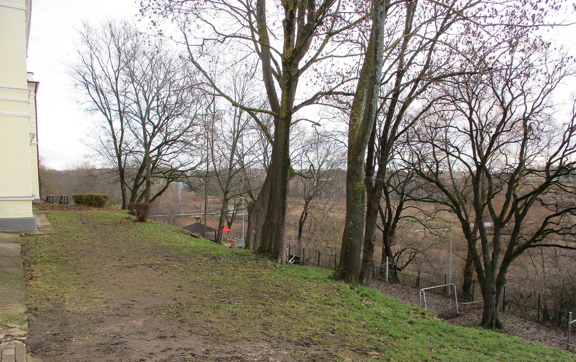
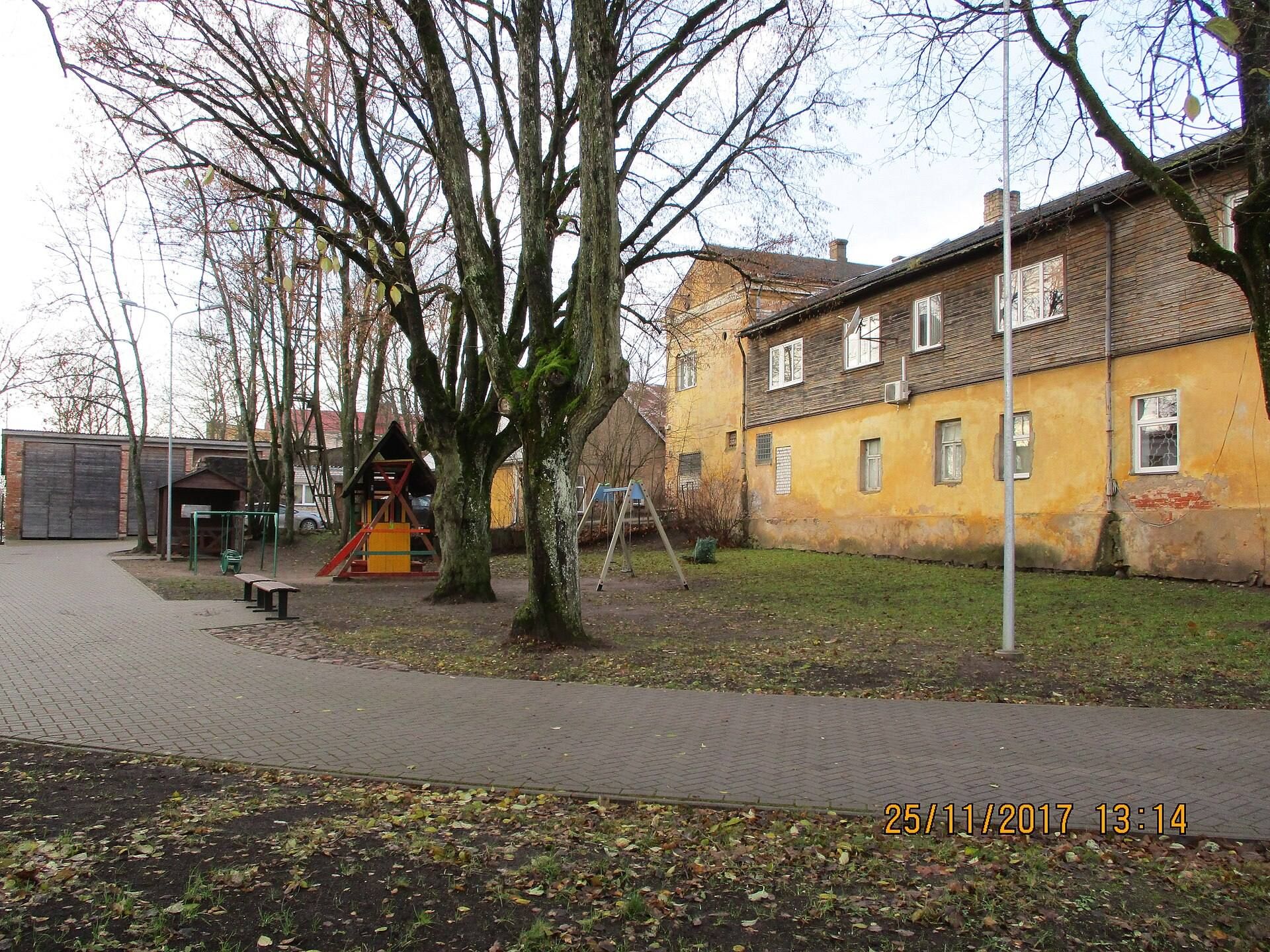
The southern plateau of the castle site ends in a steep slope toward the Slocene valley. The Riga to Ventspils railway now runs through the valley between the river and the former castle site. Vabaduse Square lies beside the former northern side of the castle, while buildings east of the former police station occupy part of the eastern moat. The police building stands over part of the former northeastern castle area, and Baer’s Villa occupies the southern side of the grounds.
The archaeological deposits include a seventeenth- to nineteenth-century cultural layer. Excavations north of the tower also identified the foundations of a nineteenth-century cellar. The surviving tower, which contains the Tukums City History Museum, and the fragment of western curtain wall are the principal visible remains of the castle.