Mooghaun: A Late Bronze Age Hillfort in Ireland
Site at a Glance
- Rating
- 4.7
- Popularity
- Low
- Country
- Ireland
- Primary era
- Bronze Age
- External website
- Open
- Eras represented
- Bronze Age, Medieval
- Civilizations
- Unclassified
- Site type
- Military
- Remains
- Fortified Town
On this page7 sections
History
Mooghaun is a late Bronze Age hillfort in Ireland, constructed around 950 BC on the summit of a hill in Mooghaun South, County Clare. Its builders established the fort at the beginning of the late Bronze Age, the later phase of the prehistoric period when bronze was widely used for tools, weapons, and ornaments. Mooghaun apparently became the largest and most important site in its surrounding area and is believed to be the largest hillfort in Ireland.
The late Bronze Age chiefdom
The fort was built by the leaders of a chiefdom, a political territory governed by a dominant or hereditary leader and organized through subordinate communities. This chiefdom covered approximately 450 square kilometres in southeastern County Clare. Its territory was probably bounded by the Shannon estuary to the south and by mountain ranges to the north, east, and west.
The chiefdom was divided into smaller territories of about 25 square kilometres. Important families controlled these areas from smaller defended hilltop settlements and lake settlements. Less prominent families lived in settlements enclosed by low stone banks, often grouped in clusters while farming areas of about 154 to 315 hectares.
Approximately 10 or 12 families probably lived within Mooghaun, mainly in the middle enclosure. They cultivated land within the fort and kept livestock there, making the hillfort both a defended settlement and the centre of local household activity.
Early medieval reuse
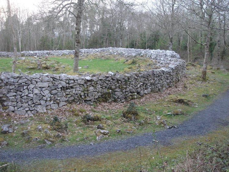
After AD 500, three cashels were built at Mooghaun. A cashel was an Irish stone ringfort or fortified enclosure generally associated with the early medieval period. The builders reused stones from the original Bronze Age ramparts, linking the later settlement to the earlier defensive structure.
Estate use and archaeological survival
In the late eighteenth or early nineteenth century, the nearby Dromoland estate adapted the cashel area as a viewing point and possibly as a picnic place. Much of the interior was destroyed during this work, while the walls were repaired. Later excavations have helped establish the site’s sequence of Bronze Age construction, early medieval reuse, and estate alteration. Mooghaun is regarded as well preserved despite these changes.
Remains
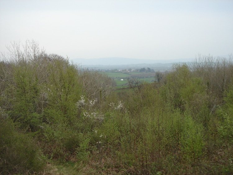
Mooghaun occupies the entire summit of a hill approximately 3 kilometres north-northeast of Newmarket on Fergus, on the grounds of Dromoland Castle. The fort historically commanded wide views over the surrounding territory, although trees now largely obscure them. Its principal layout consists of three concentric limestone defensive ramparts, all constructed at the same time.
Bronze Age enclosures
The outer enclosure covers 27.18 acres, or approximately 11 hectares. Inside it, the middle enclosure covers 7.41 acres, or approximately 3 hectares, while the innermost enclosure covers 2.04 acres, or approximately 0.83 hectares. Together, the three ramparts organized the hilltop into nested defended spaces. The middle enclosure was the main area of occupation for the families who lived at the fort and farmed and kept livestock within it.
Early medieval cashels
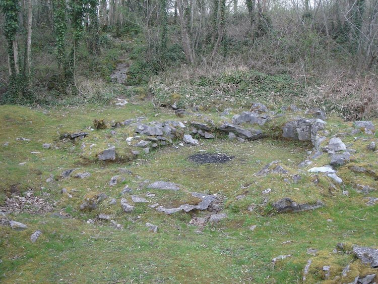
Three later cashels survive within the fort. Built after AD 500 from stone that included material reused from the Bronze Age ramparts, they represent a later phase of fortified occupation. Outlines of round houses have also been identified beside the cashels. The cashel area was subsequently altered for estate use, and repairs to the walls form part of the site’s present physical condition.