Sudargas Hillforts: A Fortified Complex on the Nemunas in Lithuania
Site at a Glance
- Rating
- 4.9
- Popularity
- Medium
- Country
- Lithuania
- Primary era
- Medieval
- External website
- Open
- Eras represented
- Iron Age, Classical, Medieval
- Civilizations
- Unclassified
- Site type
- Military
- Remains
- Fort
On this page7 sections
History
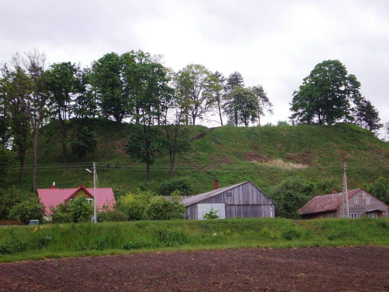
Sudargas hillforts, also called the Grinaičiai hillforts, are a fortified archaeological complex in Lithuania near Sudargas and Grinaičiai, on the left bank of the Nemunas. The complex belongs to the wider Sudargas hillfort group, which also includes the Burgaičiai hillforts. It consists of Balnakalnis, or Grinaičiai Hillfort, and Žydkapiai, or Grinaičiai Hillfort II, each accompanied by an associated settlement.
Early settlements and fortifications
Balnakalnis resembles an early hillfort type associated with the period before feudal society. Finds from the site date to the transition from the first century BC to the first centuries AD, while its upper cultural layer and identified rebuilding belong to the fifth or sixth century. The settlement south of the hillfort covered about 1 hectare and is dated by its pottery to approximately the middle of the first millennium.
Žydkapiai has a broader period of use, extending from the first millennium to the beginning of the second millennium. It initially served a domestic purpose. Later work on the defenses included raising the rampart, compacting clay, placing large stones, and digging a deep ditch. These changes indicate that the hillfort was used as a refuge during the first centuries AD.
Medieval associations
An earlier interpretation identified Žydkapiai as the castle of the Samogitian grandee Sudargas, a nobleman associated with the historical region of western Lithuania. That castle was considered to have been destroyed by the Teutonic Knights in 1317. The more cautious current interpretation identifies Žydkapiai as the likely principal castle of the Sudargas hillfort complex. Sudargas is named in the Chronicle of Peter of Dusburg, a medieval account of the Teutonic Order and the Baltic region, in entries for 1301, 1303, 1311, and 1317.
Archaeological investigation and later use
Juozapas Radziukynas searched for a hillfort in the area, but local residents did not identify it. He located the site himself by examining the banks of the Nemunas. More extensive archaeological investigation began in 1970 with P. Kulikauskas and R. Kulikauskienė. Archaeologists explored the surrounding area in 2005, investigated Žydkapiai in 2006, and carried out further exploratory work in 2009 and 2012 in connection with planned management works.
In 2006, the Cultural Heritage Department and the municipality prepared a technical project for protective measures and adaptation of the hillforts for tourism, with implementation beginning in 2007. The settlement associated with Žydkapiai is included in registers of protected archaeological monuments.
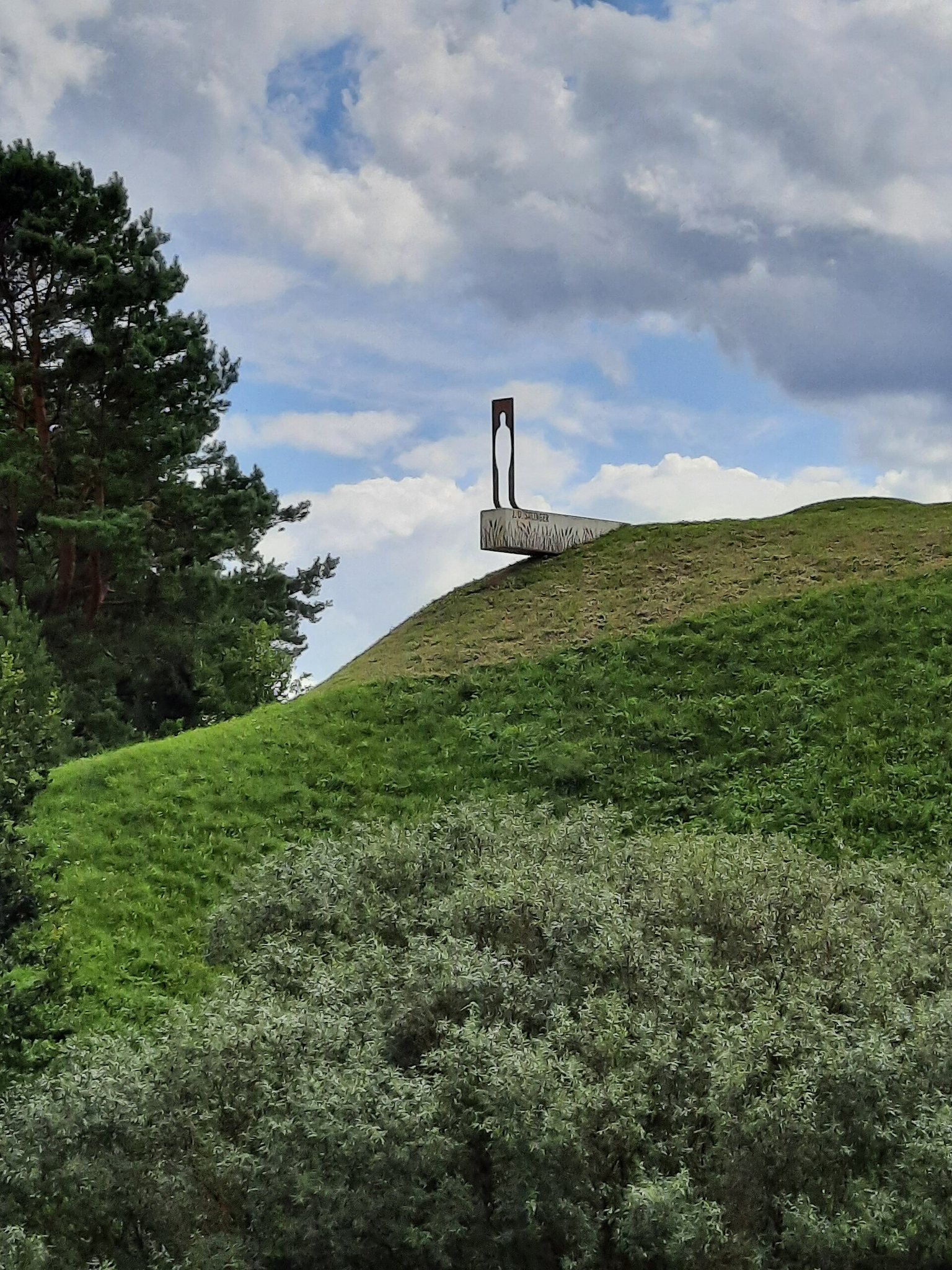
The Žydkapiai plateau and adjacent upland became a Jewish cemetery in the eighteenth and nineteenth centuries. During the Second World War, trenches were dug into the rampart, plateau, and southeastern slope. Archaeological work in 2009 led to the restoration of the semicircular ditch behind the rampart. The investigations also revealed burials connected with the former cemetery and helped clarify the later history of the hillfort.
Remains
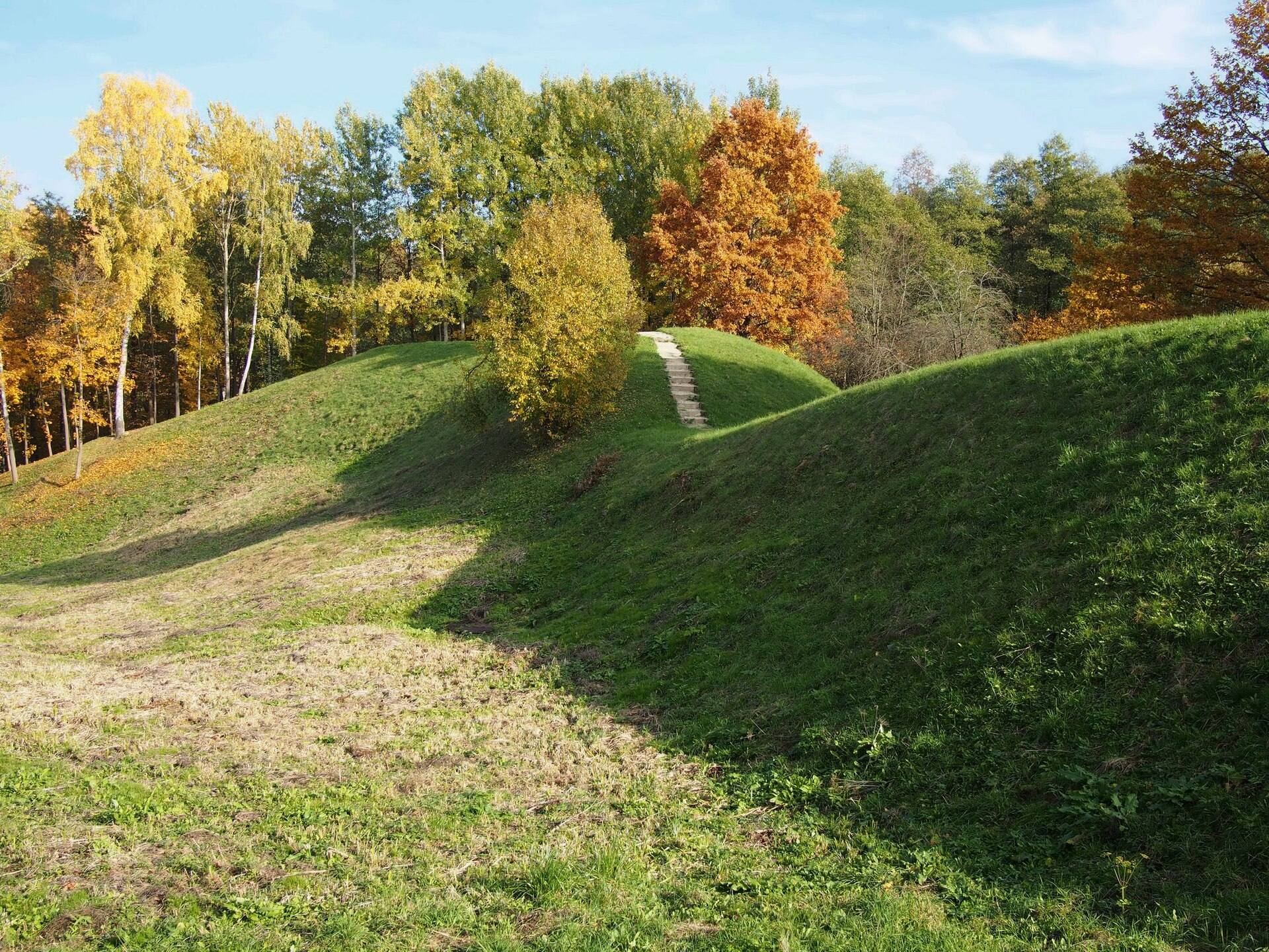
The complex occupies naturally defensible elevations beside the Nemunas. Its two principal hillforts use projecting landforms, steep slopes, artificial banks, and ditches to protect raised plateaus. Each hillfort also has an associated settlement covering approximately 1 hectare.
Balnakalnis
Balnakalnis lies on a projecting slope about 50 metres south of the left bank of the Nemunas. A separate hill is connected to the river-bank slope by a passage only 5 to 7 metres wide, giving the landform the appearance of a saddle. The hillfort is about 0.6 kilometres west of the Nemunas and Skalbynupis confluence and about 0.6 kilometres northeast of the Kiduliai, Ramoniškiai, and Slavikai road junction.
An earlier description recorded an oval plateau about 50 metres long and 25 metres wide, with an area of approximately 1,000 square metres. Its western rampart was about 3 metres high and its eastern rampart about 2 metres high. The present plateau is about 35 metres long, 13 to 15 metres wide at the northeastern end, and up to 7 metres wide at the southwestern end. A rampart about 5 metres wide and 0.5 metres high follows the northeastern edge, while a second rampart on the southwestern edge is about 20 metres wide and reaches 1.8 metres in height.
Balnakalnis has steep slopes between 14 and 20 metres high. The southwestern slope includes a large lower terrace, while deep valleys surround the northeastern end and the southeastern and northwestern sides. Earlier ploughing affected the hillfort. Excavations recovered charred barrier logs, an iron spearhead embedded in a wall log, a stone woodworking wedge, and pottery fragments. Charcoal in layers at depths of 0.6 to 0.7 metres and 1.5 to 1.7 metres indicates that the fortifications were destroyed more than once. The associated settlement extends across the nearby hill south of the fortification.
Žydkapiai
Žydkapiai occupies a large promontory on the bank of the Nemunas. The river borders its foot to the north and northwest, while marshy hollows lie to the west and east. The river-facing slopes are particularly steep, reaching up to 25 metres, and include an artificially raised upper section about 6 to 7 metres high.
An earlier description recorded a promontory joined to the slope by a path approximately 10 metres long and 0.5 to 0.7 metres wide. Beyond it was an area about 20 metres wide, ending at a rampart 4 metres high. The plateau behind the rampart was oval, about 30 metres long and 25 metres wide. The surviving area now exceeds 500 square metres, although its northern end has been eroded. The present plateau is level, oval, and elongated from northwest to southeast, measuring approximately 35 by 30 metres.
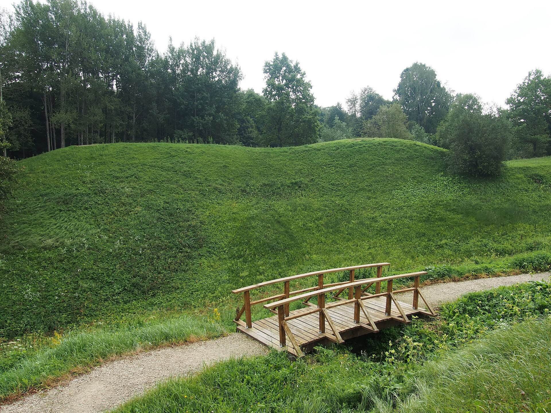
A rampart along the southwestern edge was built in two stages. It is about 30 metres long, reaches 2.5 metres in height, and is approximately 23 metres wide. A semicircular ditch behind it is about 2.5 to 3 metres wide and up to 1 metre deep; archaeological investigations in 2009 preceded its restoration. Beneath the rampart, at a depth of 2.8 to 2.9 metres, an early cultural layer contained burnt stones, bones of domestic and wild animals, pottery fragments, the tip of a bone awl, and an iron knife-sickle.
The settlement associated with Žydkapiai covers approximately 1 hectare. Investigations in 2009 found 56 burials from the eighteenth or nineteenth century at depths of 1 to 1.6 metres, most belonging to children and infants. Some graves contained objects including locks, and pottery fragments were found in the eye sockets of some burials. Gravestones from the former Jewish cemetery remain on the hillfort.