Vorotnaberd: A Historic Fortress in Armenia
Site at a Glance
- Rating
- 4.1
- Popularity
- Very Low
- Country
- Armenia
- Primary era
- Unclassified
- Eras represented
- Unclassified
- Civilizations
- Unclassified
- Site type
- Military
- Remains
- Castle
On this page9 sections
History
Early Origins and the Fifth Century
Vorotnaberd is a fortress ruin in Armenia, on the right bank of the Vorotan River in Syunik. Its origins may extend to the pre-Christian period, when an Iron Age fortification may have occupied the hill. A fortress probably existed there under the Artaxiad dynasty, which ruled the Armenian kingdom from 189 BC until Rome brought its kingdom to an end near the close of the first century BC.
The fortress is first documented in the fifth century. In 450, the Armenian commander Vardan Mamikonian captured Vorotnaberd from Sasanian forces. The Sasanian Empire was the Persian ruling dynasty from the third to the seventh century, and Vardan used the fortress as a base for his revolt against King Yazdegerd II. The uprising culminated in the Battle of Avarayr in 451, where Vardan and many Armenian nobles and soldiers were killed. Vardan is venerated in Armenia as a martyr and remains a leading figure in the country’s resistance to Sasanian religious and political control.
Medieval Rule and the Orbelian Centre
Between 1075 and the early 1090s, Vorotnaberd belonged to Prince Senekerim of the Arranshahik family and to the Kingdom of Syunik. Seljuk forces captured and devastated the fortress and the nearby monastery of Vorotnavank in 1104. The Seljuks were a Turkic dynasty that controlled large parts of the Middle East and western Asia between the eleventh and thirteenth centuries.
Ivane Zakarian restored Vorotnaberd to Christian control in the early thirteenth century and transferred it to Liparit Orbelian. The Orbelian dynasty was an Armenian noble house that established an autonomous principality in Syunik during the thirteenth and fourteenth centuries. The family first ruled from Yeghegis and later from Vorotnaberd, which became one of its principal centres. Orbelian patronage supported a cultural flourishing in the region and helped sustain monasteries including Vorotnavank, Noravank, Tatev, and Gladzor.
Vorotnaberd and Vorotnavank formed part of a wider defensive system intended to protect the lands of Shaghat. Mongol-Tatar forces invaded the region around 1236, and Timur’s army besieged the fortress in 1386. Timur, also known as Tamerlane, was a Central Asian conqueror who founded the Timurid dynasty in the late fourteenth century.
Turkmen, Safavid, and Persian Control
Around 1407, Smbat, the last Orbelian ruler, lost Vorotnaberd to the Qara Qoyunlu under Qara Yusuf and fled to Georgia. The Qara Qoyunlu, or Black Sheep Turkmen, were a confederation that ruled parts of Anatolia, Armenia, Iran, and Iraq during the fourteenth and fifteenth centuries. Vorotnaberd later passed from Turkmen control to the Safavids during the sixteenth century. The Safavids ruled Iran from the early sixteenth to the eighteenth century. An earthquake reportedly destroyed the fortress in 1487.
On 29 March 1724, the Armenian military leader Davit Bek captured Vorotnaberd from the local ruler Melik Baghu during his campaign against Safavid rule. A melik was a local hereditary prince who often governed under a larger imperial power. The fortress subsequently became associated with Davit Bek and acquired the alternate name David Bek’s Castle. Davit Bek organized armed resistance against Safavid and Ottoman power in Syunik.
Near the end of the eighteenth century, Vorotnaberd suffered severe damage during an attack by the Persian shah Agha Mohammad Khan, founder of the Qajar dynasty. At the beginning of the nineteenth century, the fortress returned to Armenian control under Russian rule. Its ruins were not rebuilt and were later abandoned.
Remains
Hilltop Setting and Defensive Walls
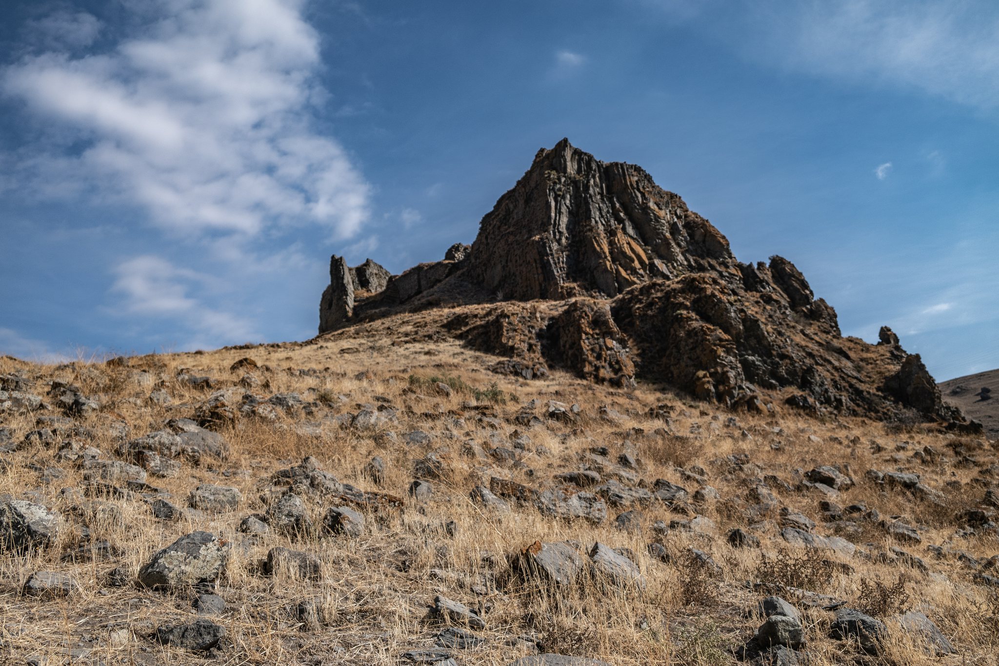
Vorotnaberd occupies a rocky, saddle-shaped hill on a ridge above the Vorotan gorge, between the villages of Vaghatin and Vorotan. The summit rises to approximately 1,400 metres amid the steppe vegetation of the Vorotan valley. The hill runs from northwest to southeast. Steep basalt rocks protect three sides, while a steep western grass slope forms the approach and required artificial fortification.
Outer and Inner Defences
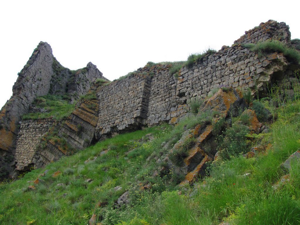
The defensive walls were concentrated on the western and southwestern sides of the hill and arranged in two lines, an inner line and an outer line. The entrance area was protected by a wall with circular towers. Parts of the fortification survive on the western flank, where the wall is built from roughly shaped basalt blocks.
Inner Fortress and Subterranean Passage
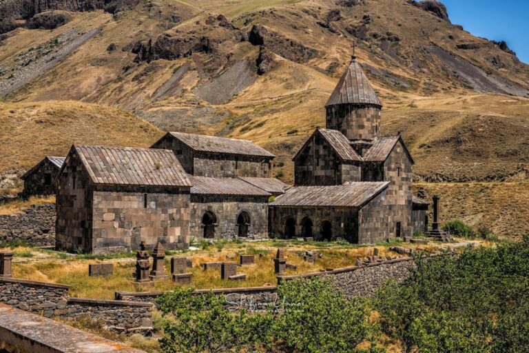
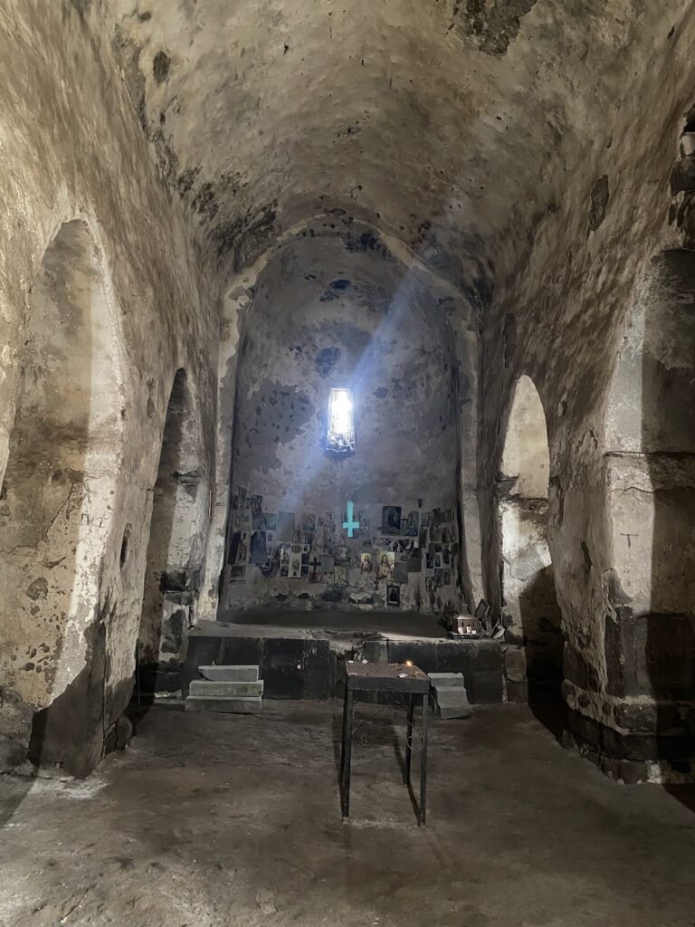
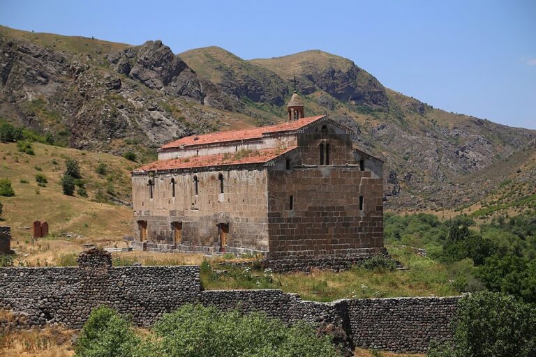
The inner fortress occupied the somewhat higher southeastern part of the summit. A concealed underground passage is associated with the fortress’s use during sieges and is described as connecting Vorotnaberd with the nearby monastery of Vorotnavank. The monastery lies below the fortress, where the Vorotan passes through a rocky gorge before widening into the valley.
Later Surface Walls
Low fieldstone walls on the irregular grassy upper slopes were piled up in modern times. Together with the surviving western fortification, these features form the visible physical context of the hilltop fortress and its relationship to the nearby monastery.