Ōtsuchi Castle: A Medieval Mountain Fortress in Japan


Site at a Glance
- Rating
- 4.1
- Popularity
- Very Low
- Country
- Japan
- Primary era
- Medieval
- External website
- Open
- Eras represented
- Medieval
- Civilizations
- Unclassified
- Site type
- Military
- Remains
- Castle
On this page8 sections
History
Ōtsuchi Castle is a medieval mountain fortress in Otsuchi, Japan, traditionally founded by the local warrior Ōtsuchi Jirō during either the Kenmu era, around 1334–1336, or the Shōhei era, around 1346–1370. Built as a yamashiro, a Japanese mountain castle that uses elevated terrain for defense, it guarded the eastern coast of Hei District and became the successive residence of the Ōtsuchi clan.
Foundation and Ōtsuchi Rule
Ōtsuchi Jirō was traditionally identified as the second son of Asōnuma Tomotsuna of the Tōno Asōnuma clan. He was assigned to Ōtsuchi to maintain security along the coast and established the castle on the mountain behind the present town. The site’s position between the Kozuchi and Ōtsuchi rivers gave its defenders additional natural protection.
In 1437, Ōtsuchi Magosaburō joined another local leader in an attack on the Asōnuma clan. The Asōnuma received support from the Nanbu clan, whose forces then assaulted Ōtsuchi Castle. The defenders used the rivers and other natural defenses to resist the attack, and Nanbu Moriyuki, the opposing commander, was reportedly killed by a stray arrow.
Conflict among Regional Clans
By the late Sengoku period, an era of prolonged warfare among competing regional lords in Japan, Asōnuma Hirosato controlled twelve districts around Tōno. The Ōtsuchi clan was again brought within the Asōnuma sphere of control.
During the Kunohe Masazane Rebellion in 1591, Ōtsuchi Magohachirō Hironobu joined Asōnuma Hironaga in supporting Nanbu Nobunao, lord of Sannohe Castle. The political balance shifted again in 1600, when Masuzawa Hirokatsu, lord of Masuzawa Castle, seized Tōno and drove Hironaga to Setamai.
Magohachirō continued to support Hironaga, and the two attempted to recover Tōno with assistance from Date Masamune, the prominent regional warlord of northern Japan. The Masuzawa forces, supported by the Nanbu, defeated them, and the allies withdrew to Ōtsuchi Castle. Nanbu forces besieged the castle. Magohachirō initially intended to resist to the end, but surrendered after Nanbu Toshinao tried to win him over, then fled to Date territory.
Nanbu Administration and Dismantling
Ōtsuchi Masasada, who had participated in the Waga–Hienuki uprising and was either Hironobu’s son or another member of the Ōtsuchi family, succeeded Magohachirō. In 1616, a stratagem by Nanbu Toshinao forced Masasada to commit suicide, and the Ōtsuchi clan was dispossessed.
After the clan’s extinction, governors appointed by the Nanbu continued to use the castle as their residence. In 1632, the Nanbu domain, the feudal territory administered by Nanbu rulers from Morioka, established a magistrate’s office at the foot of the mountain. The magistrate administered twenty-three villages in the Ōtsuchi area, from Hirata Village in the south to Toyomane Village in the north, and inland to Oguni and Etsunagi villages. The magistrates were sent from Morioka.
The Nanbu domain dismantled Ōtsuchi Castle in 1659. The magistrate’s office remained until its abolition in 1869, when its equipment was sold at auction. The castle site was designated an Iwate prefectural historic site on September 4, 1992.
Remains
Castle Mountain Layout
Ōtsuchi Castle occupied Castle Mountain at an elevation of approximately 140 meters between the Kozuchi and Ōtsuchi rivers. The mountain castle extended about 700 meters from east to west and 100 meters from north to south. Its defenses included a lookout fort and four fortified enclosures, or kuruwa, which were level areas forming the principal internal divisions of a Japanese castle. The lookout fort was surrounded by a moat, and the level surfaces across the site covered approximately 7,540 square meters.
Main Enclosure
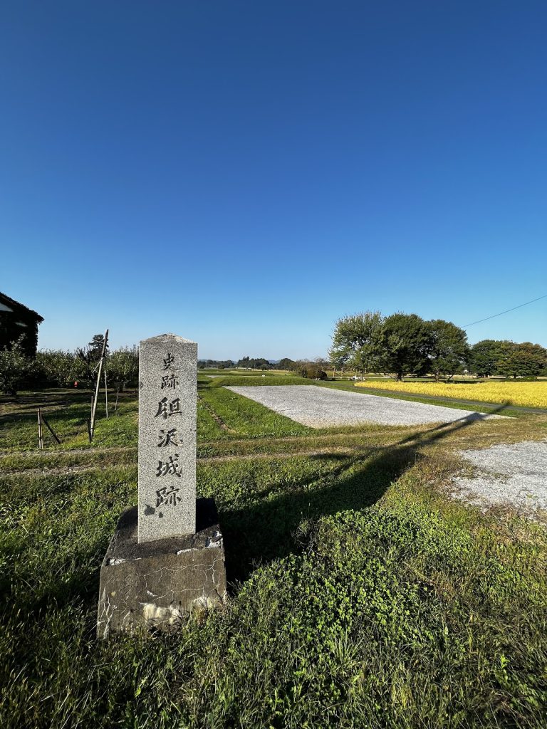
The main enclosure occupied the summit. It formed an oval level area approximately 20 meters long and was accompanied by a belt enclosure. A stone monument now stands on the site of the former main enclosure.
Ridge Enclosures
From the summit, a ridge extended eastward through the second, third, and fourth enclosures. The second enclosure lay east of the main enclosure and had a bent, hook-like plan with a long axis of approximately 100 meters. Farther down the ridge, the third enclosure was connected to the second by a gently sloping enclosure. The fourth enclosure formed a rectangular level area farther down the ridge, while the route continued to a small enclosure at the southern end known as Takadate.