Wołkona: A Slavic Settlement and Volkonsky Princely Center
Site at a Glance
- Popularity
- Medium
- Country
- Russia
- Primary era
- Medieval
- Eras represented
- Medieval
- Civilizations
- Unclassified
- Site type
- Military
- Remains
- Citadel
On this page7 sections
History
Settlement and princely residence
Wołkona was a Slavic fortified settlement in the Tula region of present-day Russia, with its urban center identified with Timofeevskoye hillfort. It was established by the end of the 10th century. In the 14th and 15th centuries, it became the center of the Volkonsky princes’ domain, an inherited territory, and served as their residence. The Volkonskys were a Russian princely family.
Incorporation and abandonment
In the second half of the 15th century, the Volkonsky principality became part of the centralized Russian state, and Wołkona was included in Aleksin district. The settlement was deserted in the 17th century, leaving a hillfort, an archaeological settlement site often enclosed or fortified.
In 1686, the Volkonsky princes described Wołkona and Pavshino as large hillforts that remained notable in Aleksin district. They included the description in a genealogy submitted to the Muscovite Discharge Office, the central office responsible for military service and appointments.
Locating the urban center
For a long time, Wołkona was placed near the lower reaches of the Volkhonka River, close to its junction with the Upa. In the early 20th century, researcher N. I. Troitsky proposed Berezovskoye hillfort as the site. Timofeevskoye hillfort is now identified as Wołkona’s urban center. It is a cultural heritage site of federal significance in Russia.
Remains
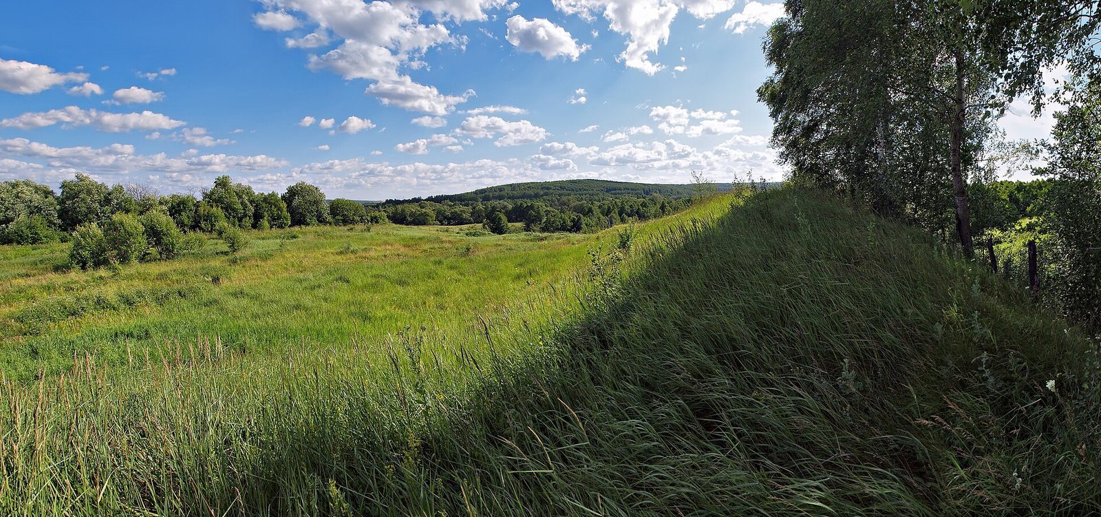
Timofeevskoye hillfort
Timofeevskoye occupies a promontory between the Chelomna stream and the Volkona River floodplain, on the southwestern edge of Timofeevka village in Dubensky district, Tula region. The site measures about 120 by 90 metres and lies 530 metres east of Berezovskoye hillfort. Two lines of ramparts and a ditch defended its landward side; the ramparts rise 4 to 4.5 metres. The cultural layer is 0.3 to 1 metre thick. Its deposits include material from the end of the first millennium, including the Romny culture, associated with Slavic populations; the Old Russian period, the medieval culture of the Rus’ lands, in the 12th and 13th centuries; and the later 14th to 16th centuries. In antiquity, the Volkona River was also called Volkona or Volkon.
Berezovskoye hillfort
Berezovskoye lies 530 metres west of Timofeevskoye and covers about 50 by 50 metres. Its archaeological dating to the 12th and 13th centuries, together with its relatively small area for a major city, does not fit the evidence for Wołkona’s center. Foundations of the Church of the Assumption of the Most Holy Theotokos lie 170 metres north of the hillfort. The church was referred to as being “on the hillfort” or “at Volkona,” associations that informed Troitsky’s proposal.