Suoyang City: An Ancient Administrative and Military Center on the Silk Road
Site at a Glance
- Country
- China
- Primary era
- Medieval
- Eras represented
- Classical, Medieval
- Civilizations
- Han, Tang, Western Xia
- Site type
- City
On this page15 sections
History
Suoyang City is an ancient walled settlement in China’s Gobi Desert, southeast of modern Suoyangcheng Town. The Chinese Western Jin dynasty built the city at its present site in 295 AD as the seat of a county and a commandery, a regional administrative district. During its roughly 1,700-year history, Suoyang became an important center in the Hexi Corridor and a political and military hub on the Silk Road.
Han and Western Jin foundations
In 111 BC, Emperor Wu of Han established Ming’an County under Dunhuang Commandery. The county seat stood 4.5 kilometres northeast of the present city. Under the Western Jin, Emperor Hui established Jinchang Commandery, which governed eight counties, and Ming’an became its seat. A new city was built at the present site in 295 AD to serve as the seat of both the commandery and the county.
Successive regimes and Tang recovery
After the Western Jin fell, a succession of short-lived states controlled Jinchang, including Former Liang, Former Qin, Later Liang, Southern Liang, Western Liang, and Northern Wei. During the Sui dynasty, Ming’an was renamed Changle County. In 621, under the Tang, Jinchang Commandery became Guazhou Prefecture, another regional administrative district, while Changle became Jinchang County and remained the prefectural seat.
Suoyang prospered under the Tang and later the Western Xia. It served for more than a millennium as an administrative, economic, and cultural center in the Hexi Corridor, a historically important route through present-day Gansu, between Dunhuang and Jiuquan. Its population during the Tang is estimated at 50,000. The An Lushan Rebellion, a major uprising that weakened Tang rule, helped bring about the loss of the city to the Tibetan Empire in 776. Tang-loyalist general Zhang Yichao recovered it in 849.
Western Xia and Mongol conquest
The Western Xia, a Tangut-ruled state in northwestern China, occupied Guazhou in 1036. Suoyang then became a major Xia center and the headquarters of its western military region. Emperor Li Renxiao was based in the city for a time, promoted Buddhism, and built cave temples nearby.
The Mongol Empire, a vast empire founded under Genghis Khan, destroyed the Western Xia in 1227. Guazhou Prefecture was restored about fifty years later under the Yuan dynasty, when the area was administered as part of Shazhou Circuit, a regional administrative division.
Ming occupation and abandonment
During the Ming dynasty, the city was called Kuyu, a name first recorded in 1405. In 1472, the Chenghua Emperor relocated the ruler of Hami, an oasis polity in the eastern Tarim Basin, and his followers to Kuyu to protect them from Mongol threats. The Hongzhi Emperor ordered repairs in 1494 to walls that had survived from the Tang and Western Xia periods.
About two decades later, Ming forces withdrew east to Jiayu Pass as Mansur Khan, ruler of Moghulistan, advanced, and he occupied Kuyu. Fighting among Mongol forces, Moghulistan, and other nomadic groups badly damaged the city. It was abandoned in the sixteenth century.
The name Suoyang and modern recognition
The name Suoyang is linked to a Qing-dynasty novel and the popular legend it inspired about the Tang general Xue Rengui. In the tale, Xue’s soldiers, besieged in the city by the Göktürks, a Turkic people who formed a steppe empire in Central Asia, survived by eating wild Cynomorium songaricum plants, known as suoyang, until reinforcements arrived. The ruined city later became associated with that name.
China designated Suoyang a Major Historical and Cultural Site Protected at the National Level in 1996. In 2014, it became one of 33 components of the UNESCO World Heritage property Silk Roads: the Routes Network of Chang’an-Tianshan Corridor.
Remains
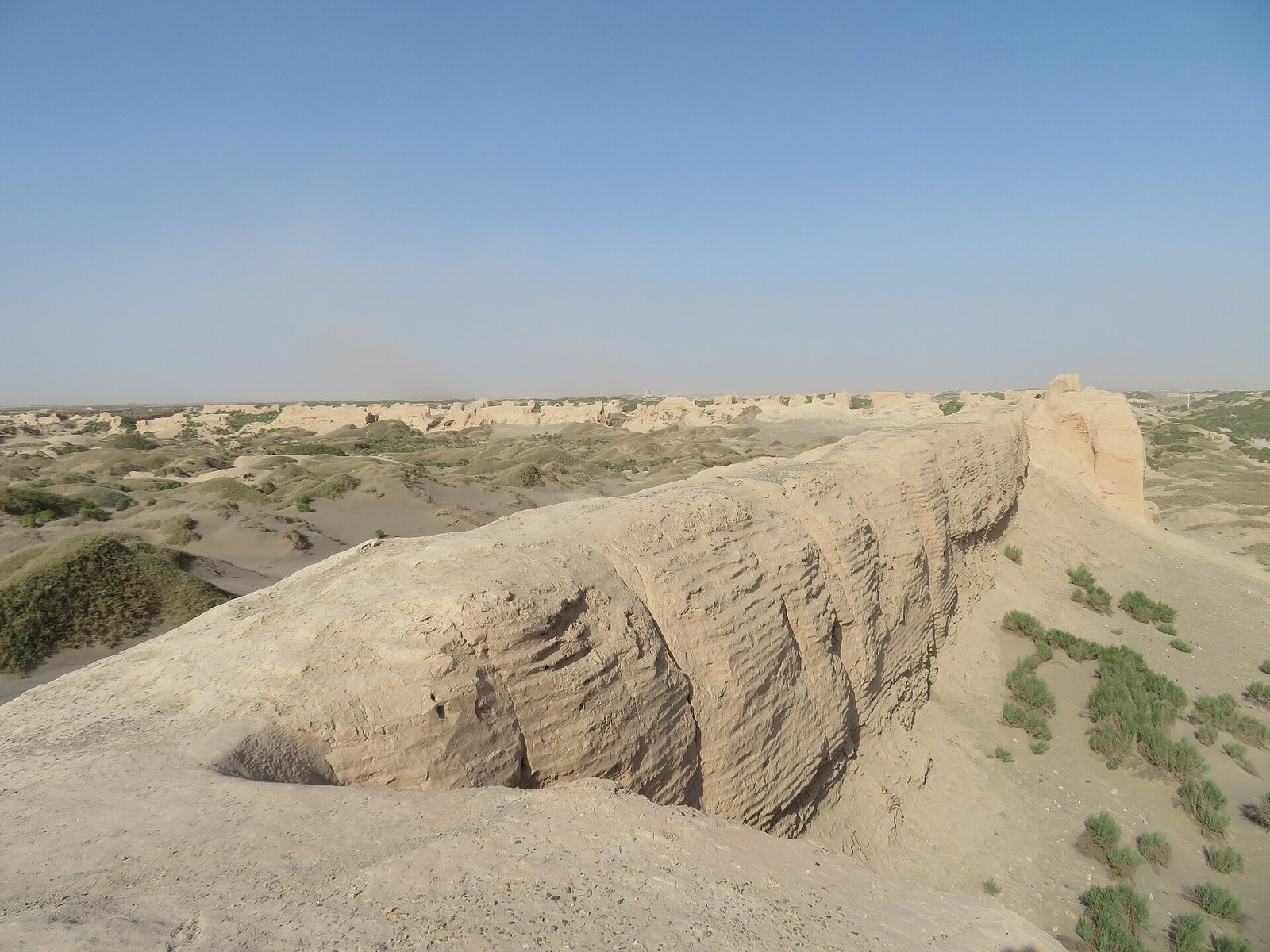
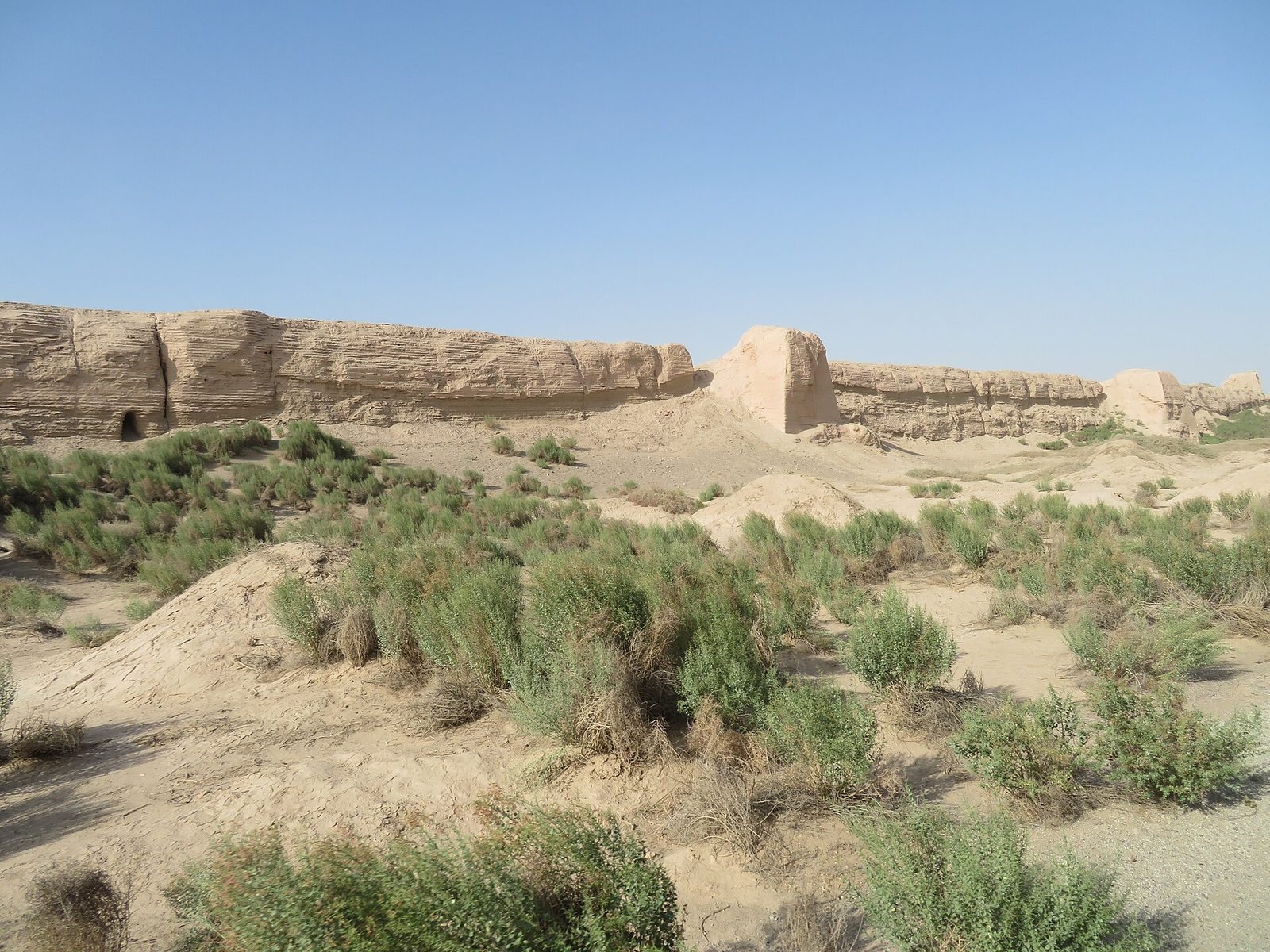
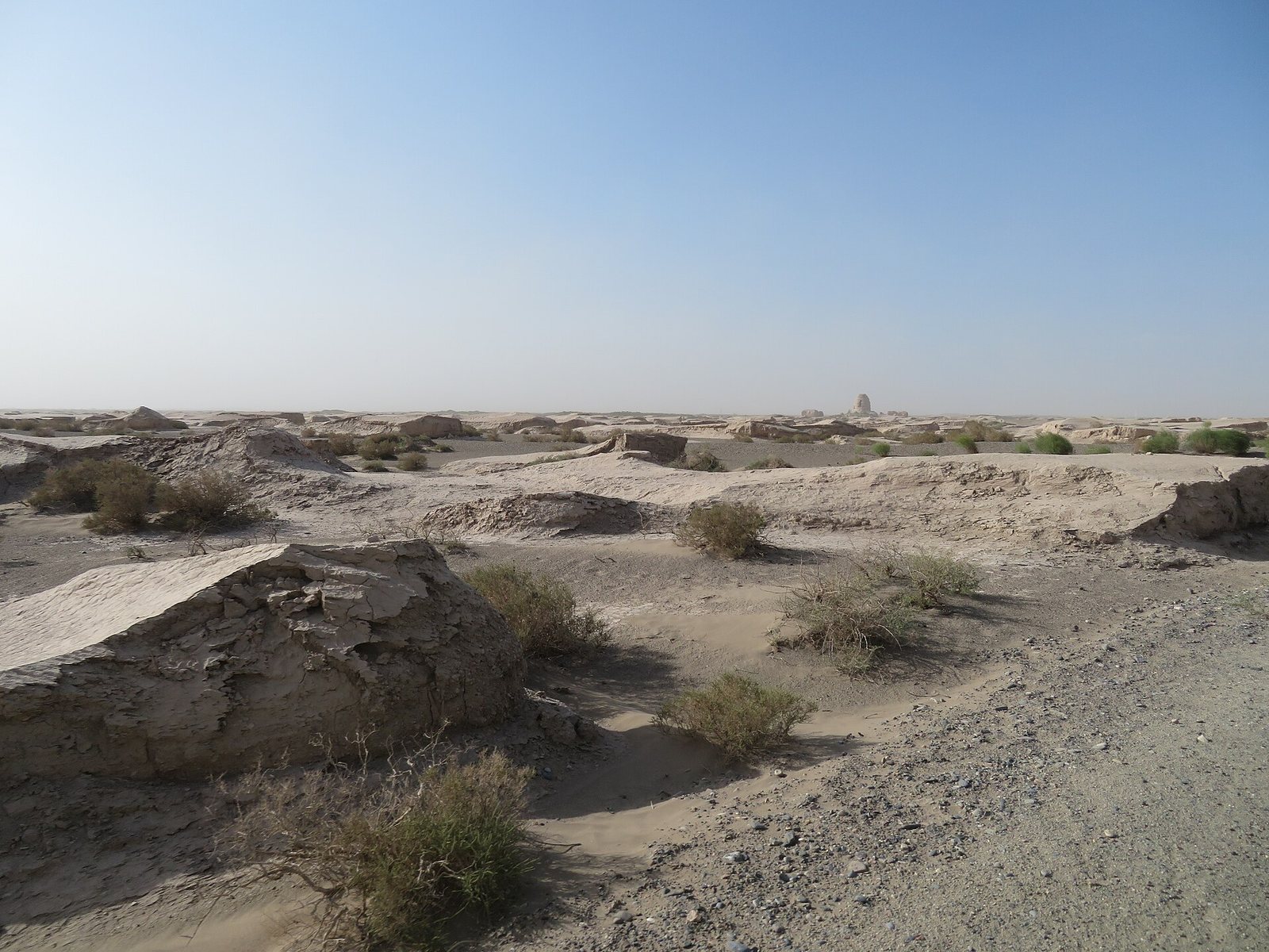
The site lies at an elevation of 1,358 metres on the remains of an oasis in the Gobi Desert. Its walled settlement consists of an inner city, an outer city, and fortified enclosures between them. Rammed-earth walls define the two cities, while adobe and other earthen structures survive within and around the settlement.
City walls and internal layout
Inner city
The irregularly rectangular inner city covers 285,000 square metres. Its east, west, south, and north walls measure 493.6, 576, 457.3, and 534 metres respectively. The rammed-earth wall bases are 19 metres wide, and surviving sections rise 9 to 12.5 metres. Two main streets pass through the western and northern gates, with smaller streets and alleys between them. A partition wall divides the inner city into a larger western sector and a smaller eastern one. House remains and thick charcoal layers occur in the west; the east is thought to have held government buildings and senior officials’ residences, while most residents probably lived in the western sector. An 18-metre-high adobe watchtower remains at the northwest corner.
Outer city
The irregularly rectangular outer city has east and west walls measuring 530.5 and 649.9 metres, and a north wall measuring 1,178.6 metres. Its south wall consists of eastern and western sections measuring 497.6 and 452.8 metres. The wall bases are 4 to 6 metres wide, and surviving parts stand 4 to 11 metres high. An internal wall north of the inner city separates the northern part of the outer city from the rest. The outer city is thought to represent Suoyang’s greatest extent during its Tang-period peak. Floods from the southern mountains breached and divided its south wall. Many buildings were damaged or destroyed, and their remains lie beneath about 70 centimetres of flood sediment in the outer city.
Fortified animal enclosures
Several fortified animal enclosures, called yangmacheng, or sheep-and-horse cities, occupy the space between the inner and outer walls. In peacetime, these enclosures separated people and livestock as a disease-prevention measure. During war, they could serve as fortifications.
Sites beyond the walls
Tombs and cemeteries
More than 2,100 tombs and cemeteries lie outside the city, mainly to the south and southeast. A large Tang tomb was excavated in 1992 after tomb robbers had disturbed it. It probably belonged to a Guazhou governor or a wealthy merchant and is considered among the richest tombs found along the Silk Road. Its finds include three-colour-glazed sancai funerary figures, tomb guardians, silk, porcelain, and coins.
Buddhist sites
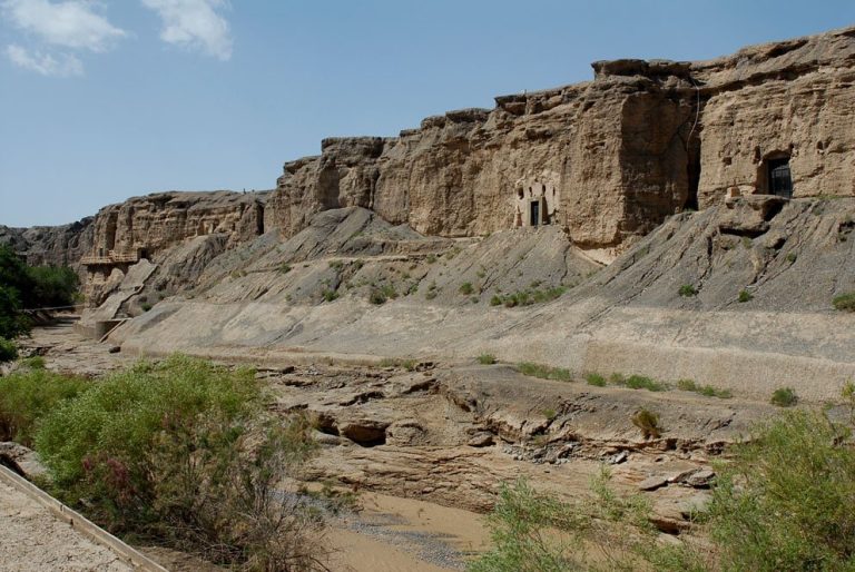
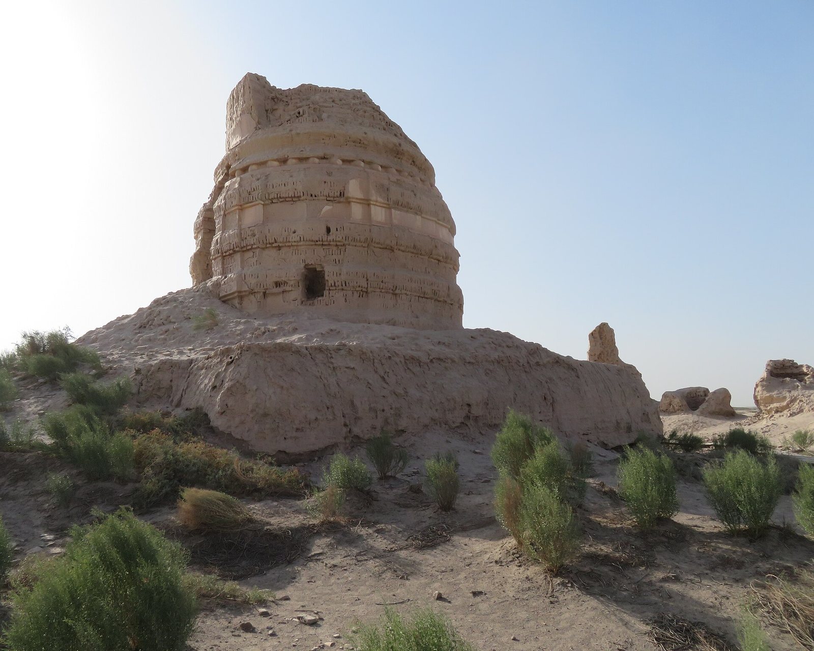
The archaeological area also includes the site of the original Ming’an County and several Buddhist locations: Ta’er Temple, the Eastern Thousand Buddha Caves, Jianquanzi Caves, and Hanxia Caves. Ta’er Temple lies one kilometre east of the city and is thought to be the King Ashoka Temple mentioned in historical records, associated with Ashoka, the Indian emperor linked to the spread of Buddhism. Most of its surviving remains date to the Western Xia period and include a main pagoda and eleven smaller pagodas.
Irrigation network
Outside the city, surviving canals form an extensive irrigation system that diverted water from the Shule River to farmland around Suoyang. The river was called the Ming River in the Han period and the Ku River in the Tang period. The channels extended for about 90 kilometres and supplied roughly 60 square kilometres of land. Farmland in the area during the Han and Tang periods is estimated at 300,000 mu, a traditional Chinese unit of land area. The network is among the most extensive ancient irrigation systems in China and the world.