Sigiburg: Saxon Hillfort and Hohensyburg Castle in Germany


Site at a Glance
- Rating
- 4.6
- Popularity
- Low
- Country
- Germany
- Primary era
- Medieval
- Eras represented
- Medieval, Modern
- Civilizations
- Carolingian, German, Holy Roman Empire
- Site type
- Military
- Remains
- Castle
On this page17 sections
History
Sigiburg is a hillfort and later hill castle in Germany, on the Syberg above the confluence of the Ruhr and Lenne rivers at Hengsteysee. Westphalian Saxons occupied the site around 700, while Neolithic activity and Bronze Age settlement traces indicate earlier human use of the hill and its surroundings.
The Saxon hillfort and Frankish conquest
During the Saxon Wars, the prolonged eighth-century conflict between the Frankish kingdom and the Saxons, Charlemagne captured Sigiburg in 772. Saxon forces, possibly led by Widukind, retook it in 774. Charlemagne seized it again in 775 and strengthened the Frankish position as a defensive installation against the Saxons. The site subsequently became associated with the Christianization of Saxony.
After the conquest of 775, Charlemagne expelled both the garrison and Widukind. A later tradition says that a miracle assisted the Frankish capture of the fort. In the following year, Saxon forces besieged the stronghold, but its garrison made a sortie and pursued the retreating army toward the Lippe. The Frankish army then drove the Saxons farther toward the Aller, where the Blood Court of Verden took place.
Hohensyburg in the Middle Ages
The later stone Hohensyburg castle was probably built around 1150 as a hill castle belonging to the archbishops of Cologne, during their territorial expansion in the twelfth century. The lords of Syberg, Cologne ministerials who held office and land in service to the archbishops, first appear in the record in 1235.
Count Eberhard of the Mark partly destroyed the castle in 1287. The Syberg family then withdrew to its estate at Haus Busch in the County of Limburg. In 1300, the royal estate of Westhofen, a domain administered as part of the ruler’s lands, passed together with the castle into the feudal authority of the Counts of the Mark.
In 1496, Gerd Spee became burgrave, an official responsible for administering and often defending a castle, after Duke John of the Mark required him to live at Hohensyburg. The castle was probably abandoned during the sixteenth or early seventeenth century.
Religious traditions and archaeological investigation
Tradition attributes the foundation of a church on the Syberg to Charlemagne and its consecration in 799 to Pope Leo III, who served from 795 to 816. The surviving Romanesque church, a medieval form characterized by massive masonry and rounded arches, was later associated with the date 1169. The identity and date of any earlier predecessor remained uncertain.
An Allied air raid during the Second World War destroyed the Romanesque church. Excavations in 1950, 1951, and 1976 exposed foundations beneath it. These remains were first assigned to 776 because of documentary references, but the evidence establishes only that the building predates the Romanesque church. The 1976 excavation ruled out a secure identification as a Carolingian building, meaning a structure from the age of Charlemagne and his immediate successors. Brown and black earthenware left open the possibility of either an early medieval Saxon-Frankish structure or a prehistoric building. Dendrochronology and radiocarbon dating did not determine its age.
The earlier structure’s square plan has been compared with the wooden square temple at Uppsala, raising the possibility that it was a Germanic cult building. A related tradition attributes the consecration of a spring sanctuary on the Syberg to Leo III in 799, although the earliest surviving tradition connecting the spring with him dates from 1472. The possibility that an earlier Germanic cult place later received a Christian interpretation remains part of Sigiburg’s historical discussion.
Study and protection
Johann Friedrich Möller, a Lutheran pastor from Elsey near Hohenlimburg, published a study of Hohensyburg, its Saxon fortification, later castle, ruins, and antiquities in 1804. The castle ruins, Petersbrunnen, and former mountain railway are listed as archaeological monuments by the City of Dortmund. The castle ruin is also registered as an architectural monument, while the Kaiser Wilhelm Monument has historic-monument protection.
Remains
The site occupies the approximately 245-metre-high Syberg above the Ruhr and Lenne, where the rivers flow into the artificially created Hengsteysee. Three separate fortifications occupy the hill. Two are thought to belong to the early Middle Ages, although the date and precise character of the earliest installations remain uncertain. Later construction produced a stone hill castle, while religious, commemorative, and transport features survive in and around the ruins.
Fortifications and castle
Earlier defenses
The earlier defensive works represent separate phases of occupation on the elevated site. Their surviving archaeological evidence supports the presence of more than one fortification, while the earliest installation remains difficult to date and define. The hill’s position above the river confluence formed the physical setting for both the Saxon stronghold and the later castle.
Hohensyburg castle
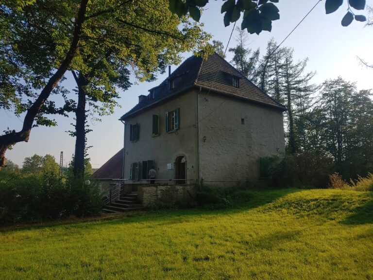
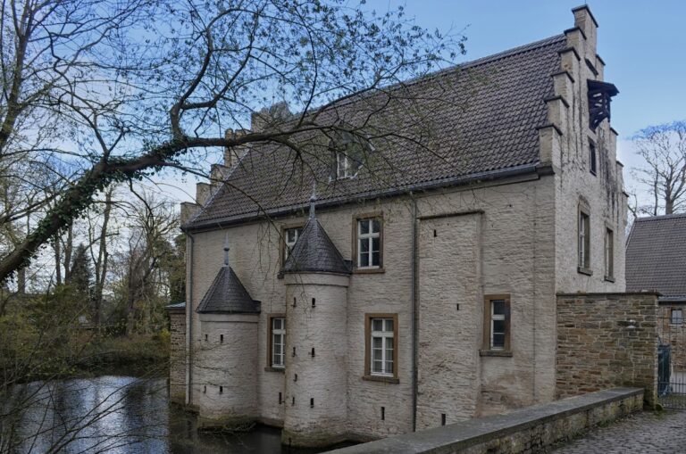
The later Hohensyburg castle was built of stone and consisted of a main building enclosed by castle walls and accompanied by two towers. The main building remains recognizable within the ruin. Its partial destruction in 1287 and subsequent abandonment, probably during the sixteenth or early seventeenth century, shaped the surviving form of the castle.
Church and spring sanctuary
Syberg church
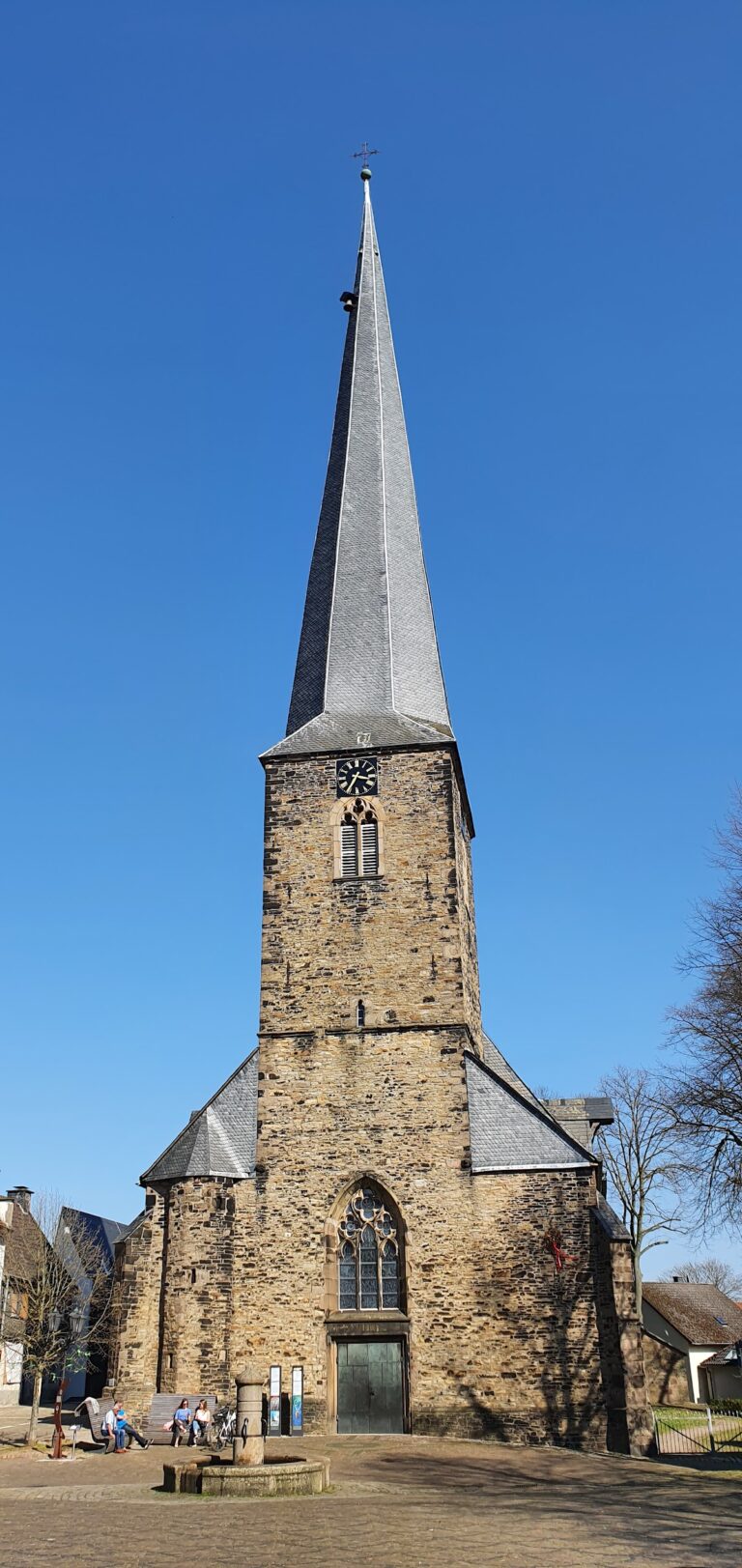
The Romanesque church stood on the Syberg above the earlier foundation remains. Its beginnings were traditionally dated to 1169, and the building’s destruction during the Second World War exposed the archaeological layers beneath it. Excavations revealed a predecessor with a square ground plan. Brown and black earthenware found nearby have not resolved whether that structure belonged to the early medieval Saxon-Frankish period or to a prehistoric cult tradition.
Petersbrunnen
The Petersbrunnen is a water basin cut directly into the rock. Water now reaches it secondarily from an adjacent well, so the present installation probably cannot be identified with the original pilgrimage station. Its physical form nevertheless preserves one of the site’s features associated with the later tradition of a spring sanctuary.
Archaeological finds and later features
Prehistoric and regional finds
Stone axes found from 1887 onward, together with other Neolithic objects, attest to prehistoric activity on the hill and in its immediate surroundings. Bronze Age finds came from the Wannebach valley north of the Syberg. Roman coins demonstrate Roman presence in the wider area at least into the third century. Germanic settlement is well established in the surrounding region, although the site evidence described here does not include Germanic artifacts from the hill itself.
War memorial
A war memorial within the castle ruins was designed by Friedrich Bagdons around 1930. It shows a fallen soldier in the uniform of a German participant in the First World War, with an apparently wing-damaged eagle beside his left lower leg. Three nearby stone plaques commemorate Syburg’s dead from the Franco-Prussian War of 1870 to 1871, the First World War, and the Second World War.
Kaiser Wilhelm Monument
The Kaiser Wilhelm Monument beside the castle ruins was built between 1893 and 1902 and opened on June 30, 1902. Hubert Stier designed the monument, which originally included an equestrian statue of Kaiser Wilhelm I and four accompanying figures made by Adolf von Donndorf and his son Karl Donndorf. Its stone pedestal carries the inscription, “To Kaiser Wilhelm the First and his heroes, the grateful County of the Mark.”
Friedrich Bagdons completely rebuilt the monument in 1935 in the style of National Socialist architecture. Statues of Crown Prince Friedrich Wilhelm and Prince Friedrich Karl were removed, while those of Otto von Bismarck and Helmuth von Moltke remained in a changed arrangement. Another inscription, removed after 1945, gave March 16, 1935, as the completion date.
Former funicular railway
A funicular railway, using cables and counterbalancing cars on a steep route, opened in 1903. Its line measured 487 metres and climbed 93 metres. Two rail vehicles were powered by AEG EG 800 direct-current shunt motors, each carrying up to 45 passengers at a maximum speed of 2 metres per second. An Abt passing loop, a self-operating arrangement that allowed two cars to pass on the single track, stood at the midpoint. The lower station was near Haus Weitkamp, and the upper station occupied the site of the present casino.
The railway’s final operating date is uncertain. The year 1915 has been proposed, although its concession lasted until January 14, 1948. On February 14, 1923, the Schwerte district council decided to dismantle the line. A stone bridge below the passing loop survives as a visible remnant of the railway.
Nearby sites