Pydnae: A Coastal Fort of Ancient Lycia in Turkey
Site at a Glance
- Popularity
- Medium
- Country
- Turkey
- Primary era
- Medieval
- Eras represented
- Medieval
- Civilizations
- Byzantine
- Site type
- Military
- Remains
- Fort
On this page11 sections
History
Foundation and ancient role
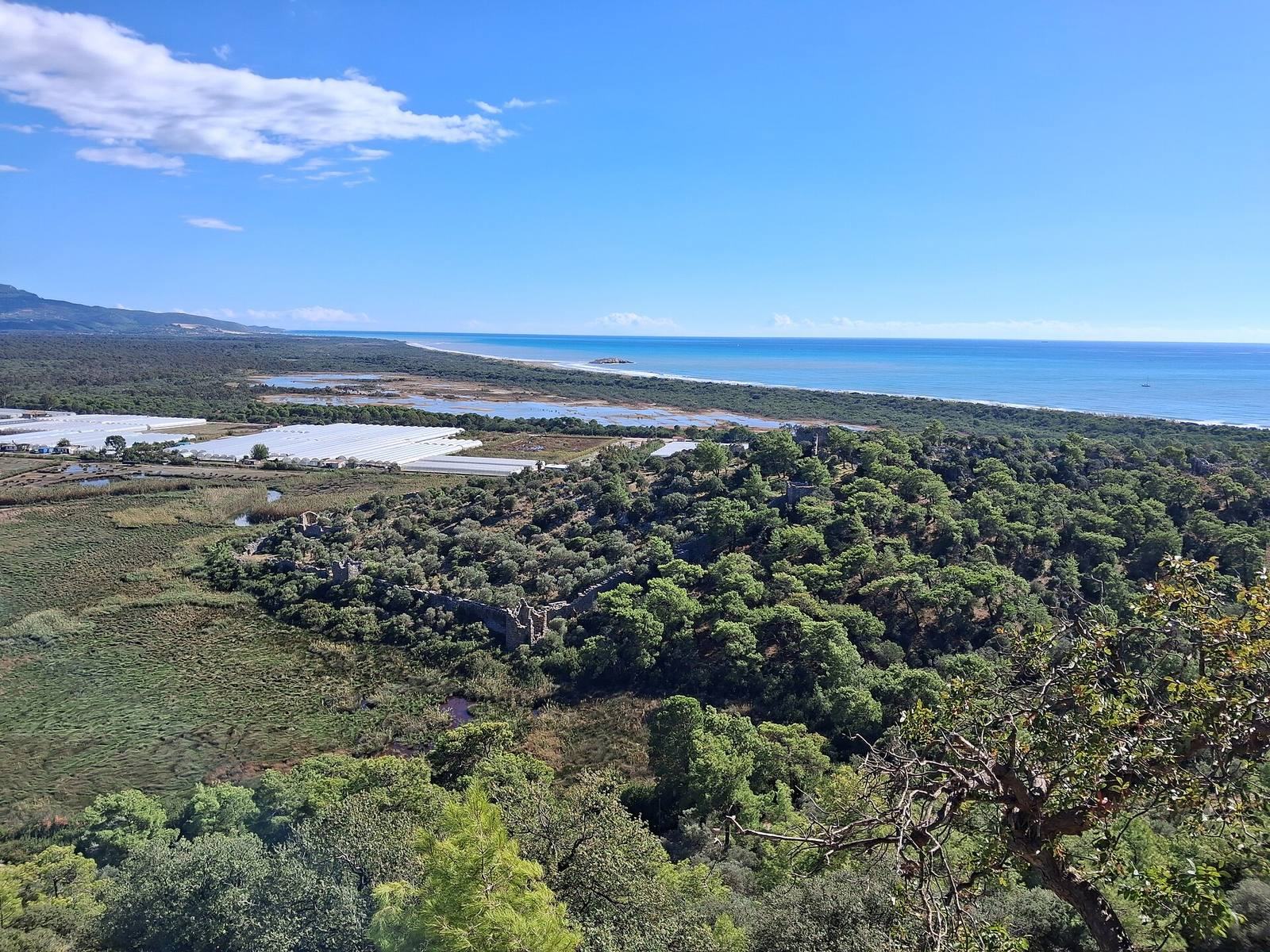
Pydnae is a coastal fort of ancient Lycia in Turkey’s Muğla region. Lycia was an ancient region on the southwestern coast of Asia Minor. The fort protected the coastal approach and road to Xanthos, a major Lycian city, and stood near fresh water and a safe anchorage. A nearby mountainous promontory sheltered ships from strong winds and currents, adding to the site’s strategic value.
The construction date is uncertain. Proposals include the third century BCE, perhaps during the reign of Ptolemy II Philadelphus, king of Egypt from 283 to 246 BCE; the second century BCE; and the first or early second century CE. These are competing dates, not a continuous construction period. Pydnae appears to have been built in a single phase and may have formed part of a broader coastal-defence effort that also strengthened Xanthos.
Ancient geographical works call the settlement Kydna. These include the Stadiasmus Maris Magni, a third-century Roman sailing guide, and the second-century Geography by Ptolemy, a geographer and astronomer. The fortification seems to have fallen out of use during the Roman imperial period, the era of rule by emperors, although inscriptions from the area belong to that time.
In the later Roman period, a road skirted the marshland between Xanthos and the sea, linking the shore with Xanthos and nearby Letoon. A third-century military boundary stone found at Karadere points to the road’s presence. The route connected the anchorage near Pydnae with the two settlements, while the fort and marshland together contributed to Xanthos’s defences.
Byzantine use
During the Byzantine period, the later history of the eastern Roman Empire, the fort’s walls helped protect the local Christian population from raiders. Substantial repairs to the masonry belong to the early Byzantine period. A church within the fort also changed form during this era; its architectural development is described below.
Rediscovery and dating assessments
The Irish hydrographer Francis Beaufort mentioned Pydnae in 1811, and the French archaeologist Charles Texier described it in 1835. Charles Fellows explored the ruins using information from Beaufort and published an account with a sketch in 1841. William Martin Leake identified the fort as Pydnae in 1842; Edward Forbes and Thomas Abel Brimage Spratt also described it during that decade. Later in the nineteenth century, German archaeologists Otto Benndorf and George Niemann examined the fort and church, though vegetation hindered their work inside the enclosure.
Later assessments drew different conclusions from the masonry. Jean-Pierre Adam compared it with a tower at Xanthos in support of a third-century BCE date, while Jacques Des Courtils proposed the second century BCE. Cevdet Bayburtluoğlu instead placed construction in the first century or early second century CE, based on building techniques.
Fellows reported finding an inscription inside the walls and translated it as a dedication to Poseidon, the Greek god of the sea, with the words “the vow of Mausolus, the Alabarches.” Mausolus was a fourth-century BCE ruler of Caria; the precise meaning of the title “Alabarches” in the inscription is uncertain.
Remains
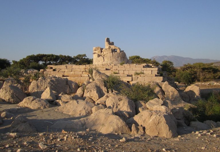
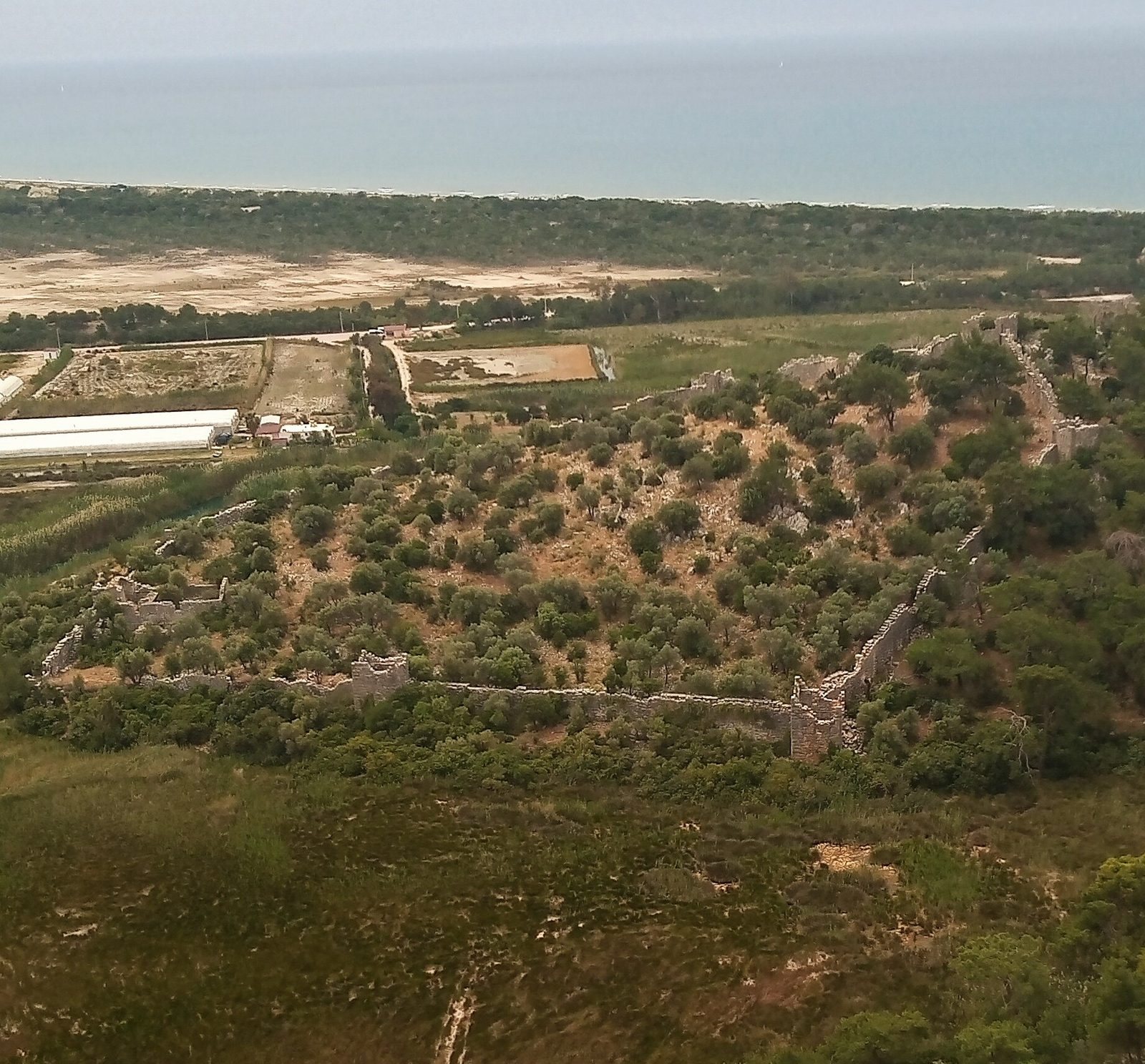
The fort occupies about four acres (1.6 hectares) on the slope of a low hill near the western end of Patara Beach and the mouth of the Özlen River. It originally stood at the edge of the coast. A complete circuit of walls encloses the site, with a small church at its eastern corner.
Fortifications
Wall circuit
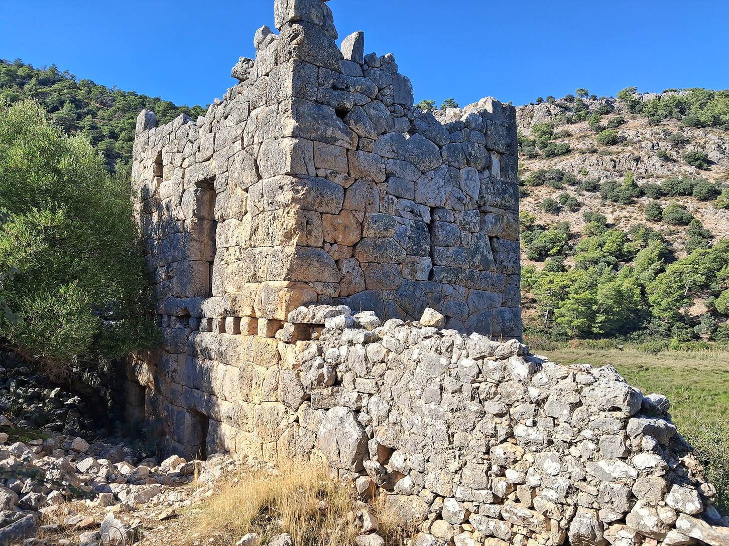
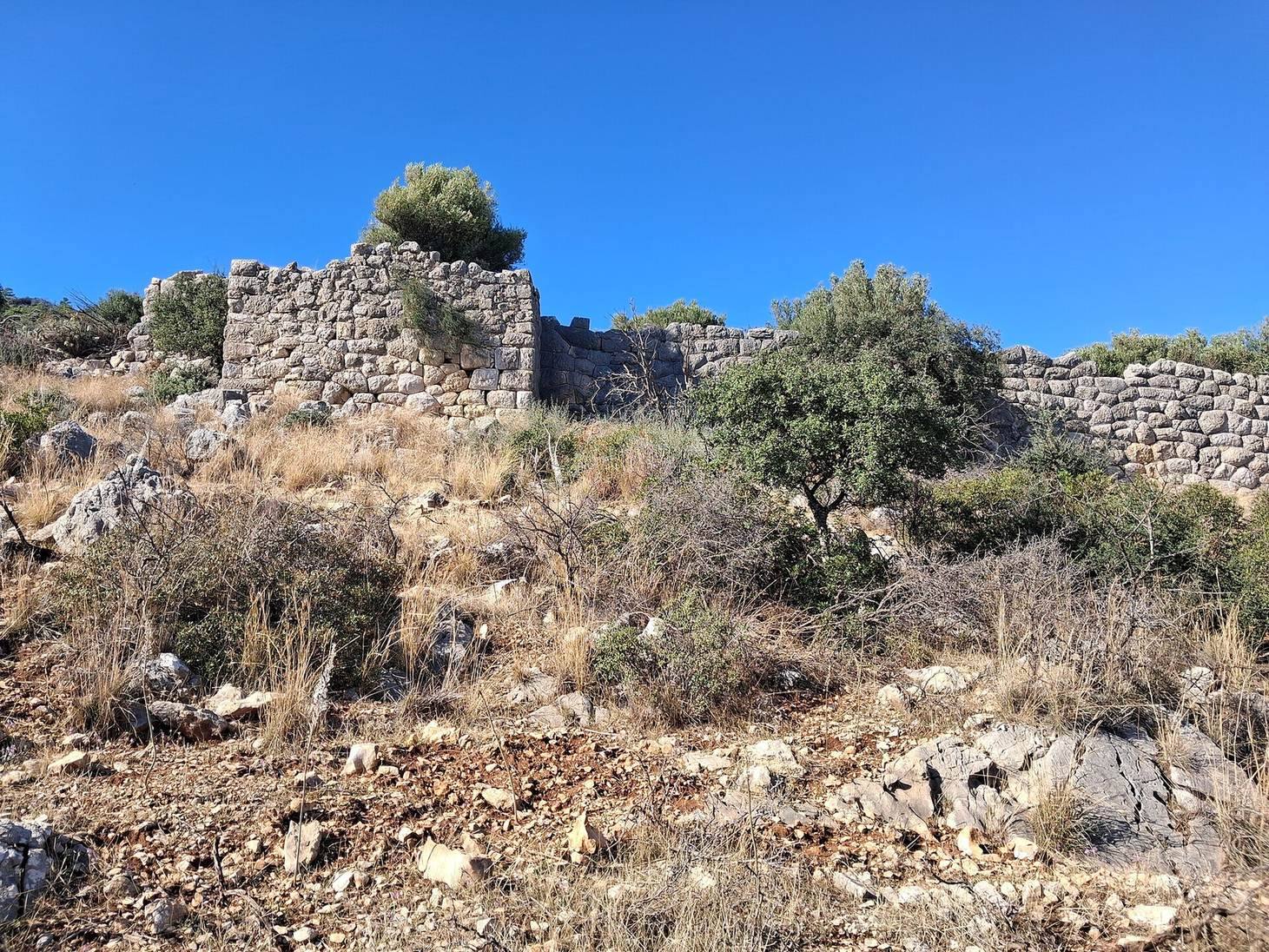
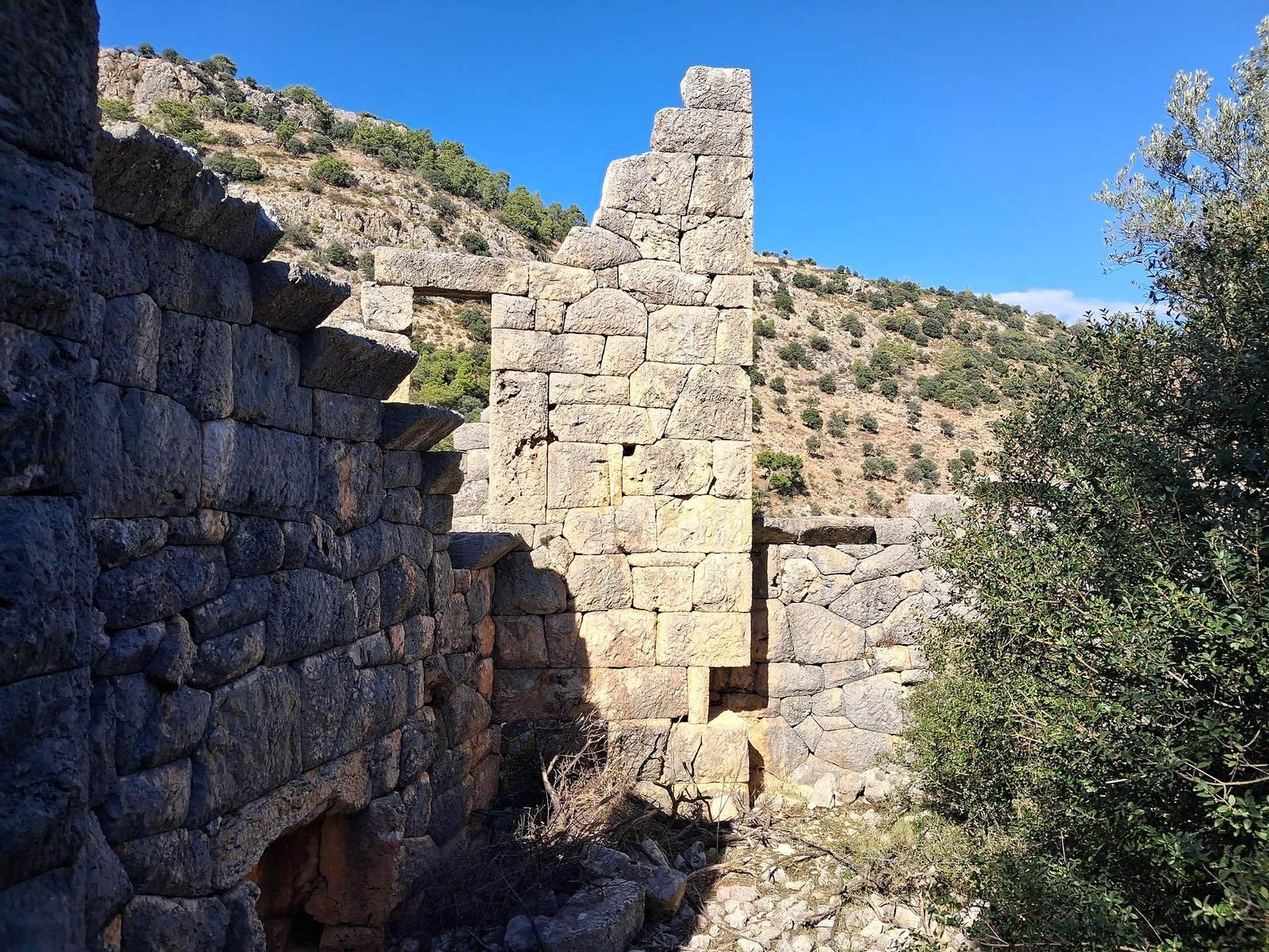
The wall circuit is more than 300 metres long and about 0.91 metres thick. Its closely fitted polygonal stones have faces shaped as polygons; the original construction also combines Cyclopean masonry, made from very large blocks, with regular stonework. Battlements, raised sections along the wall top, and a parapet, a low protective wall, remain in good condition.
Towers and entrances
Eleven four-sided towers punctuate the circuit, with entrances on the east and north sides. The towers had doors, upper floors reached from the wall parapet, and loopholes, small openings for observation or firing. Seven narrow, steep stairways lead to the walls. Some towers and stairways exceed 10 metres in height.
Interior remains
Church
The small church at the eastern corner faces east. It began as a basilica, a church with a central nave, built of rubble and mortar. Its nave was about 4.6 metres wide. In the middle Byzantine period, the building was converted into a cross-domed church, organized around a central dome in a cross-shaped arrangement.
Water supply and inscriptions
Evidence of an aqueduct has been identified at Pydnae. Inscriptions associated with the fort belong to the Byzantine period, while inscriptions from the surrounding area date to the Roman imperial period.