Paramonga: A Chimú Fortified Complex in Peru
Site at a Glance
- Popularity
- Medium
- Country
- Peru
- Primary era
- Medieval
- Eras represented
- Medieval, Early Modern
- Civilizations
- Chimú, Inca
- Site type
- Military
- Remains
- Fort
On this page11 sections
History
Paramonga is a Chimú archaeological complex in Peru, built during the Late Intermediate Period, an Andean era before Inca imperial dominance. Its exact purpose is uncertain, but it may have helped protect the southern edge of the Chimú state of Chimor.
Chimú origins and Inca occupation
Paramonga may have marked Chimor’s southern boundary and helped deter incursions by Yunga peoples, associated with Peru’s western Andean slopes and coastal valleys. Interpretations of the complex include a fortified political and ceremonial center, a military stronghold, a sanctuary, an astronomical observatory, or an administrative or commercial center. A proposed derivation of its name from Quechua, an Indigenous language of the Andes, connects it with rain and has prompted the suggestion of a link to water worship.
Inca forces led by Inca Yupanqui defeated the Chimú during the Incas’ northward expansion. The Incas occupied Paramonga from around the middle of the 15th century until 1532, enlarging or altering earlier structures. Inca Garcilaso de la Vega recorded a different tradition: that Pachacútec, another name for Inca Yupanqui, ordered the fortress built after a victory over the Chimú near the site around 1470. The more likely interpretation is that the Incas expanded an older Chimú construction.
Spanish arrival and early accounts
In 1533, Spanish expedition members led by Hernando Pizarro visited Paramonga while travelling from Cajamarca toward Pachacámac, a major pre-Columbian religious center on Peru’s central coast. Atahualpa, then a captive Inca ruler, had proposed the journey to plunder Pachacámac and help meet his ransom. His attendants guided the party, which included about twenty mounted men and arquebusiers, soldiers armed with early firearms. Miguel de Estete recorded that the expedition spent a night at Paramonga.
During the 16th century, Pedro Cieza de León described Paramonga as already ruined. He attributed some damage to people searching for buried gold and silver.
Recording and modern recognition
Charles Wiener and other observers recorded the site in the 19th century. George R. Johnson photographed it from the air around 1928–1930, and Louis M. Langlois published a detailed description in 1934. A reconstruction project begun in 1961 was not completed. In 2006, Peru’s National Institute of Culture declared Paramonga a Cultural Heritage of the Nation.
Remains
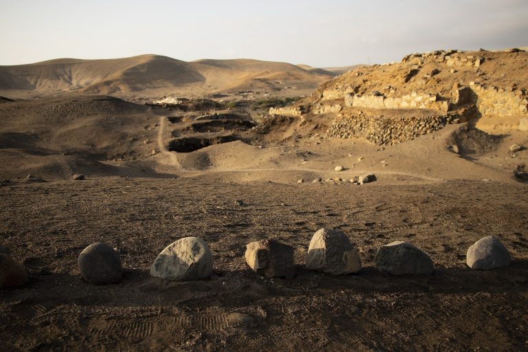
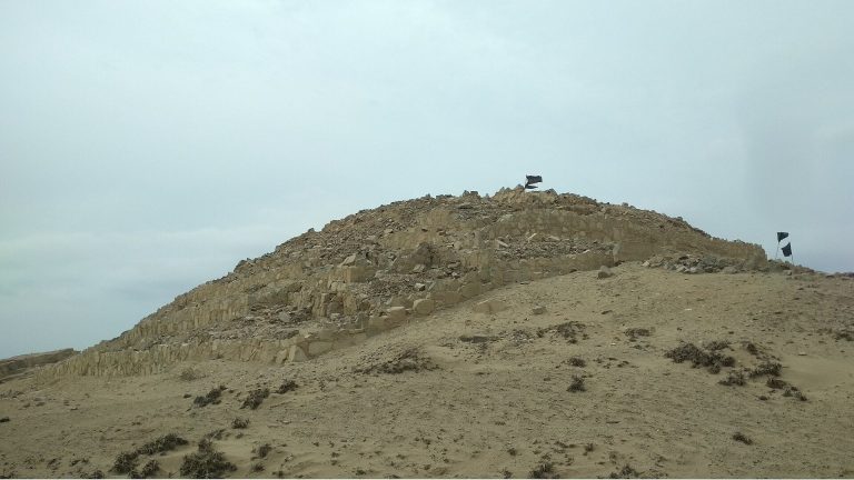
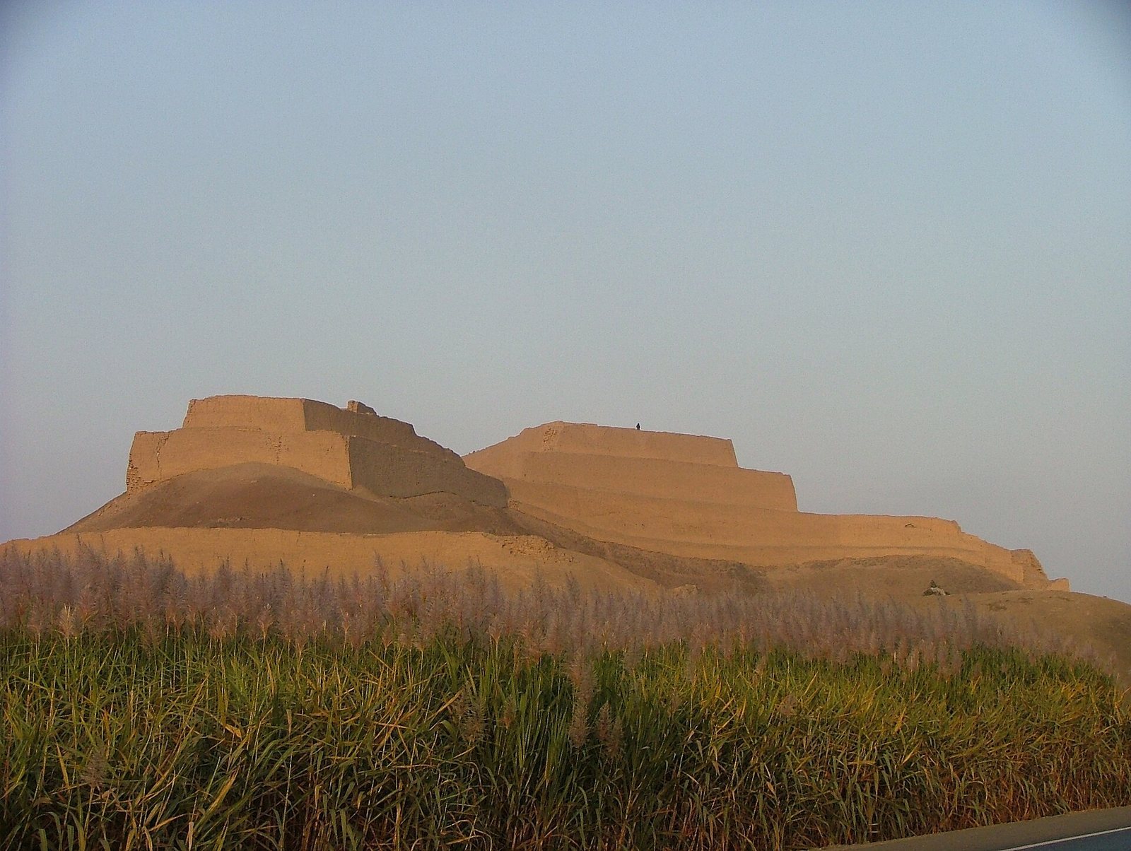
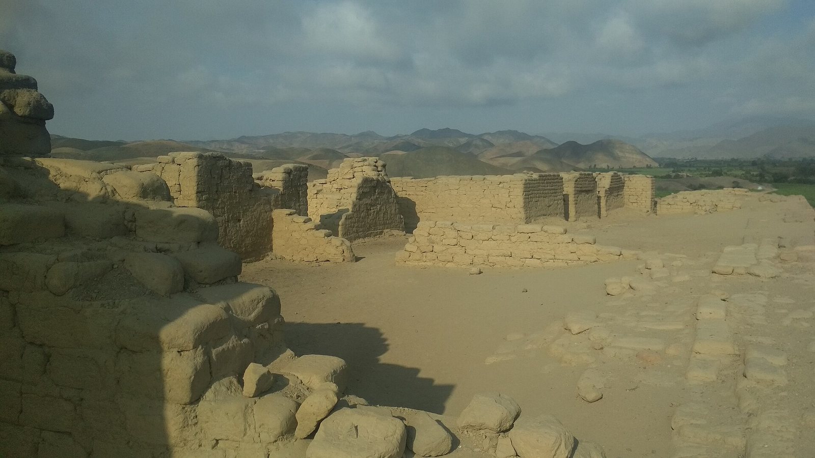
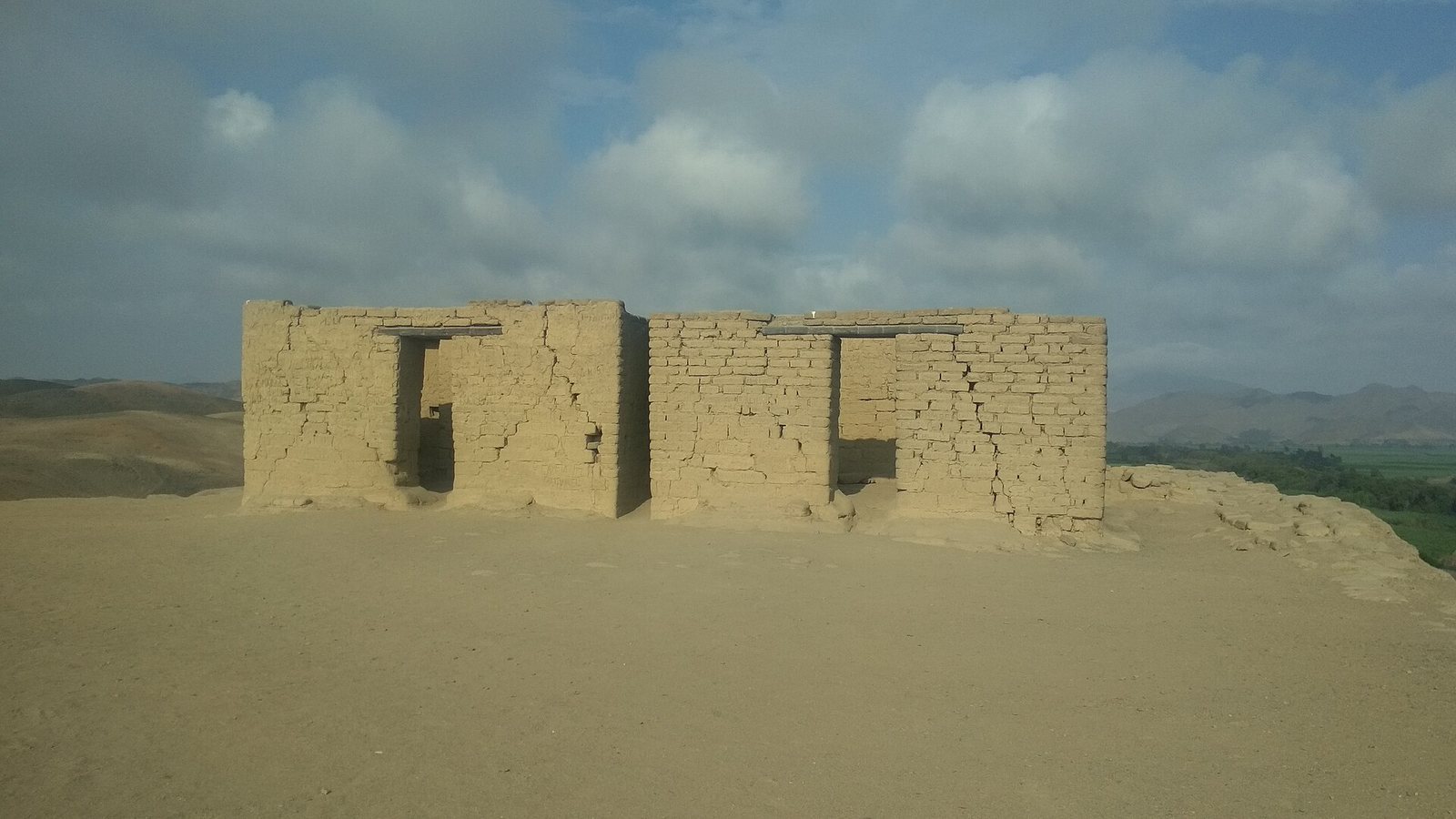
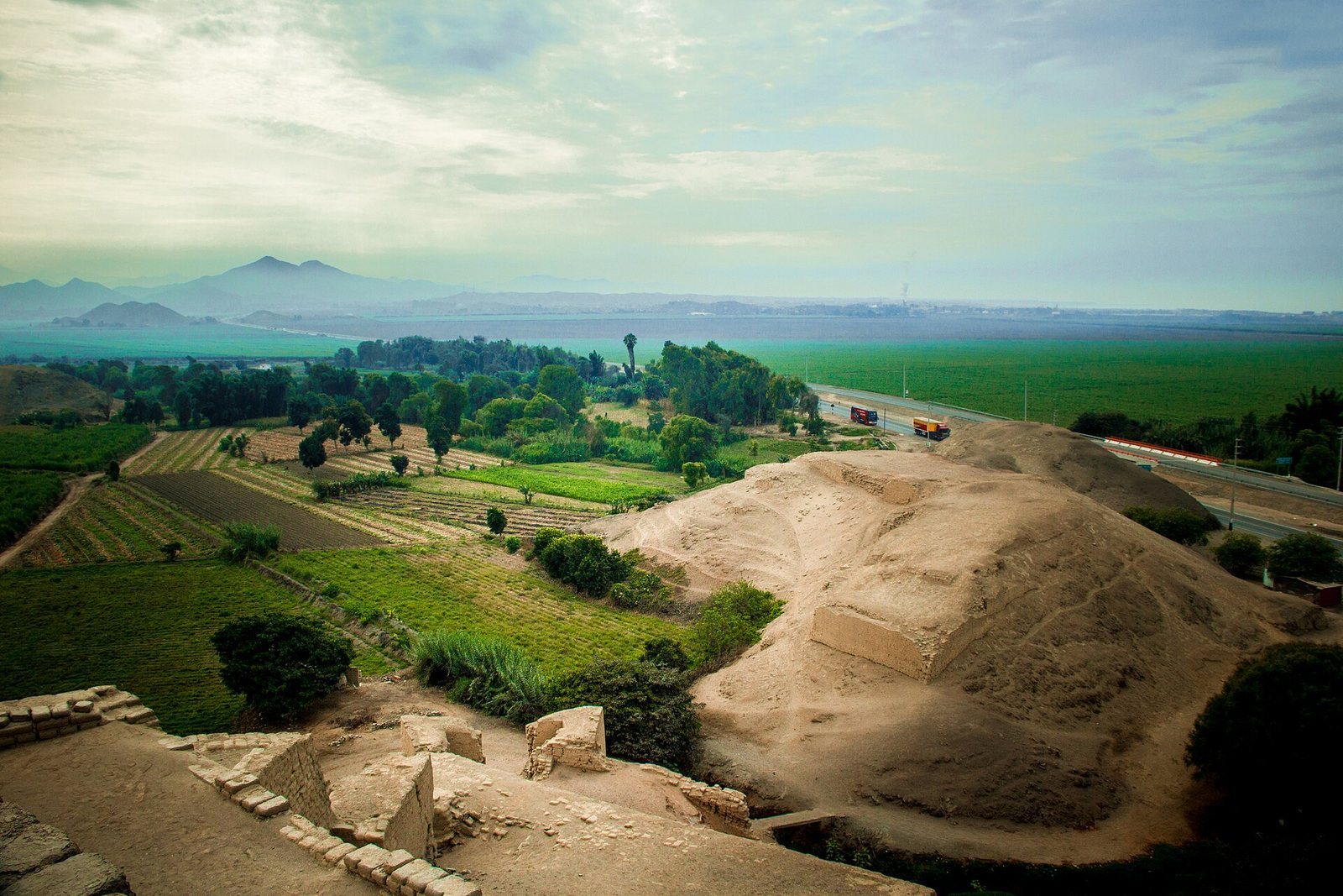
The complex stands on the right bank of the Fortaleza River, near the Pacific coast, about 190 km north of Lima and 3 km north of Pativilca. Its main structure is a stepped adobe pyramid built against a natural rocky mound. Four platforms rise to a maximum height of 30 m; most of the buildings are concentrated at the top, and the walls follow the irregular terrain. The complex also includes the nearby massif of Cerro La Horca, about 2 km to the northwest.
Main pyramid
Entrance and defensive structures
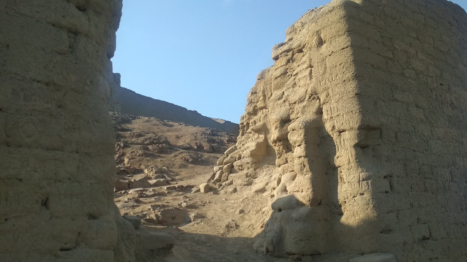
The entrance area occupies the pyramid’s southern corner, where openings, passages, and ramps provide access. One doorway has a nested double frame, an Inca architectural feature. Projecting defensive structures stand at all four corners, and the surrounding walls and protected entrance contribute to the building’s fortified appearance.
Painted surfaces and water channels
The monument was painted ochre, with red and ochre wall painting also associated with its Inca phase. Estete described carved walls, elaborate painting inside and out, five walled enclosures, and two tiger-like figures, possibly pumas, at the main entrance. His description also mentions murals showing birds and wild animals. Cieza de León described channels that carried water to irrigate higher ground.
Associated buildings
Eight secondary buildings are associated with the main pyramid and are less well preserved. A wall approximately 60 km long is described as linking them with the principal structure.
Cerro La Horca
At the summit of Cerro La Horca, adobe structures stand on stone foundations. Numerous huacas, sacred places or objects in Andean traditions, lie at the massif’s foot and may be of Moche origin.
Dividing wall and cemetery
The complex also includes remains of a dividing wall and an area used as a cemetery.