Mount Caburn: An Iron Age Enclosure and Archaeological Landscape
Site at a Glance
- Popularity
- High
- Country
- United Kingdom
- Primary era
- Iron Age
- Eras represented
- Iron Age, Classical, Medieval, Modern
- Civilizations
- British, Roman
- Site type
- Religious
- Remains
- Sanctuary
On this page10 sections
History
Mount Caburn is a hilltop archaeological site about a mile east of Lewes in the United Kingdom. Its summit enclosure was established around 400 BC, during the middle Iron Age, when iron had become widely used. Recent excavators interpret it as more likely a religious enclosure than a fort or defended farmstead, pointing to its deposits and limited defensive features.
Early landscape and enclosure
Pollen preserved in peat at the hill’s southern base indicates that yew woodland covered the slopes before 2000 BC. Evidence for permanent occupation before the Bronze Age is sparse. The Bronze Age followed the Neolithic, or later Stone Age.
The enclosure’s more than 140 pits contain deposits that excavators interpret as deliberately arranged and ritually charged, rather than as random material or household rubbish. The concentration of high-status objects in the northeast corner suggests that this part of the enclosure held particular importance.
Roman and medieval land use
The large ditch to the north of the enclosure was once considered a late Iron Age defense against Rome. Excavation instead places it in the Romano-British period, the era of Roman rule and its cultural legacy in Britain, or later. It may have been constructed in the Saxon period as a response to Viking raids.
During Roman times the hill was closely grazed, while fields on the surrounding slopes were ploughed. The hill probably later returned to scrub. By the Norman Conquest, England’s takeover in 1066, grazing had intensified again and the slopes had been divided into strips. Occupation after the northern ditch was built was intermittent, including around the Conquest and during King Stephen’s reign from 1135 to 1154.
Later land use and wartime defenses
Sheep grazing became the main agricultural activity in later centuries. John Ellman, an English agriculturalist and sheep breeder, bred Southdown sheep on Mount Caburn and other local pastures.
During the Second World War, earthworks were dug on the hill as part of a defensive line against invasion. They included two slit trenches and a position for a Bren gun.
Modern investigation and the hill’s name
Archaeological investigations took place in 1877–78, 1925–26, 1937–38 and 1996–98. Together, the excavations involved 170 trenches; Mount Caburn may be Britain’s most extensively trenched archaeological site. The hill lies within the Lewes Downs Site of Special Scientific Interest, a protected area recognized for scientific value, designated in 1953. A national nature reserve, a protected nature area, was established there in the mid-1980s, and the site is also a Special Area of Conservation for its orchid-rich chalk grassland.
The name Mount Caburn came into use only in the late eighteenth century. It probably derives from the Old English Calde burgh, meaning “Cold Fort,” a form recorded in 1296. Mount Carbone was another late-eighteenth-century form; Carber may also have been used in that century, while Calborough Hill was an earlier name. A proposed Welsh origin meaning “Stronghold hill” is widely discounted.
Remains
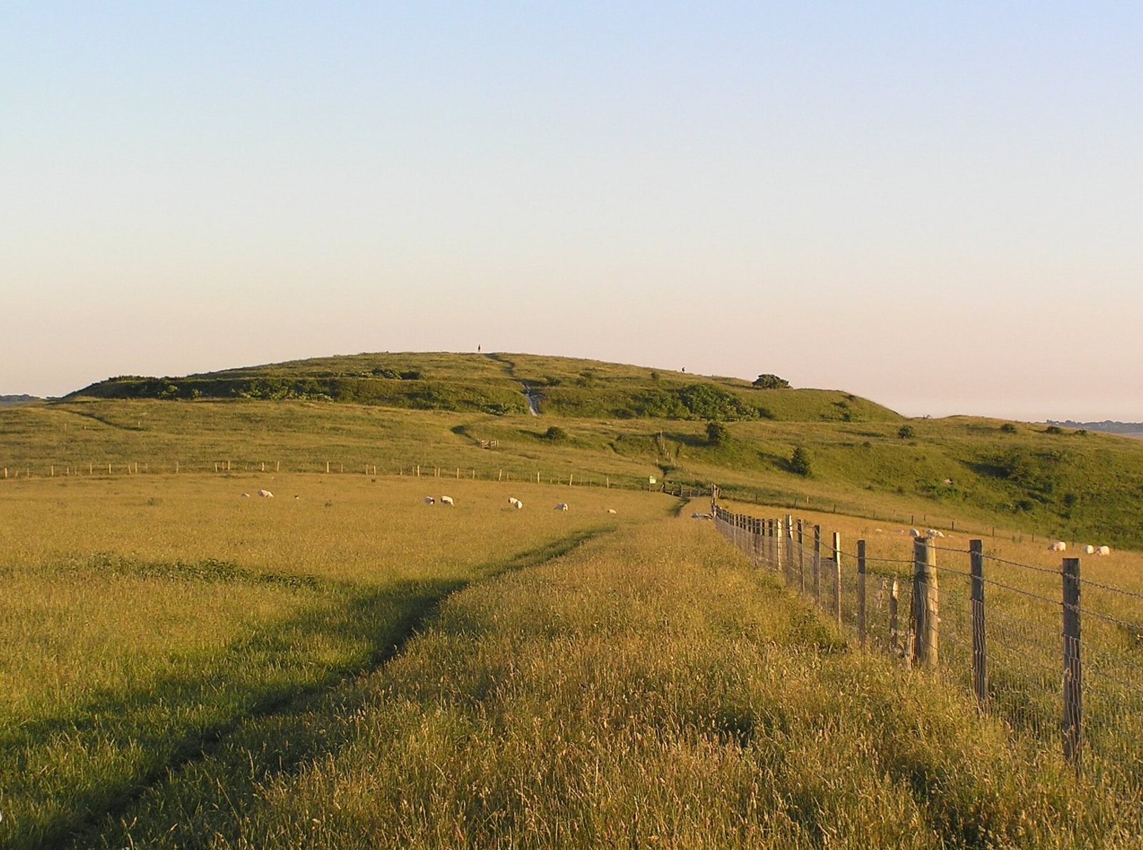
Mount Caburn rises to about 150 metres and forms the highest part of an outlier, or detached section, of the South Downs, a range of chalk hills in southern England. Glynde Reach separates it from the main range. The hill overlooks Glynde and has a south-facing scarp, a steep slope marking the edge of higher ground. Its archaeological remains include an earthwork enclosure on the summit, a large ditch to the north and field patterns on the slopes.
Summit enclosure and pits
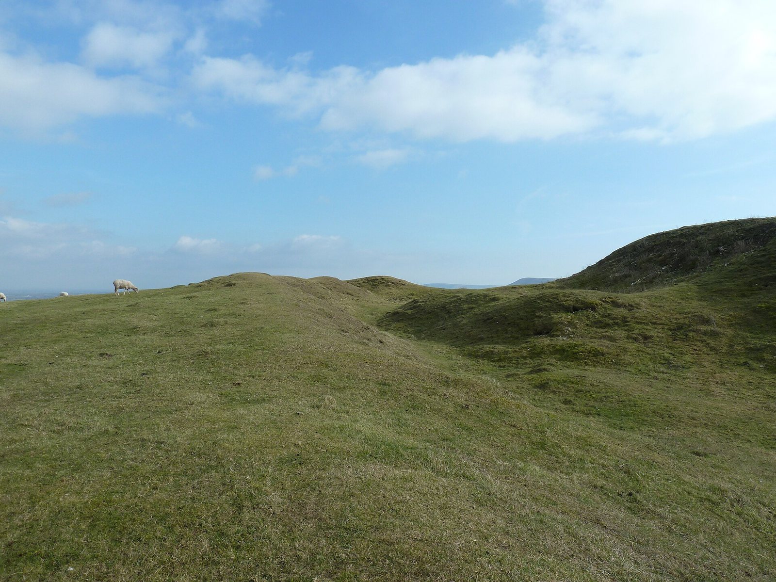
A deep, V-shaped ditch and an earth bank made from dumped spoil enclose about 1.9 hectares at the summit. The ditch was originally about 8 metres wide at the top and 2.7 metres deep. More than 140 pits within the enclosure have circular, triangular or rectangular shapes. Their deposits include weapons, tools, pottery, coins, querns, hand-operated stone mills for grinding grain, and disarticulated human and animal bones. A Neolithic, or later Stone Age, leaf-shaped arrowhead was also found on the hill.
Northern ditch and field patterns
The large outer ditch cuts into the chalk north of the original bank, on the side considered most vulnerable to attack. Its excavated chalk was dumped in the adjacent valley rather than piled into a bank; a small internal bank is also present. Romano-British pottery came from excavation cuts through the chalk spoil and the inner bank. Rectangular fields from the Roman period and medieval strip fields remain visible on the slopes.
Wartime earthworks
The surviving wartime earthworks comprise two slit trenches and a three-sided emplacement for a Bren gun, a light machine gun.
Wildlife, grazing and the cave
Mount Caburn has Britain’s largest population of burnt-tip orchid, as well as small-leaved sweet-briar, fragrant orchids and pyramidal orchids. Its invertebrates include Adonis and chalkhill blue butterflies and the scarce forester moth. European stonechats use scrubby bushes, including gorse near the golf club and in the valley below. Blue tits occur on the hill, while herring gulls and carrion crows often fly overhead. Sheep continue to graze the area. A sheltered cave contains a water trough where sheep that stray from the flock can rest.