Moccasin Bend: An Archaeological District in Tennessee
Site at a Glance
- Popularity
- Medium
- Country
- United States
- Primary era
- Modern
- Eras represented
- Medieval, Early Modern, Modern
- Civilizations
- Mississippian
- Site type
- City
On this page20 sections
History
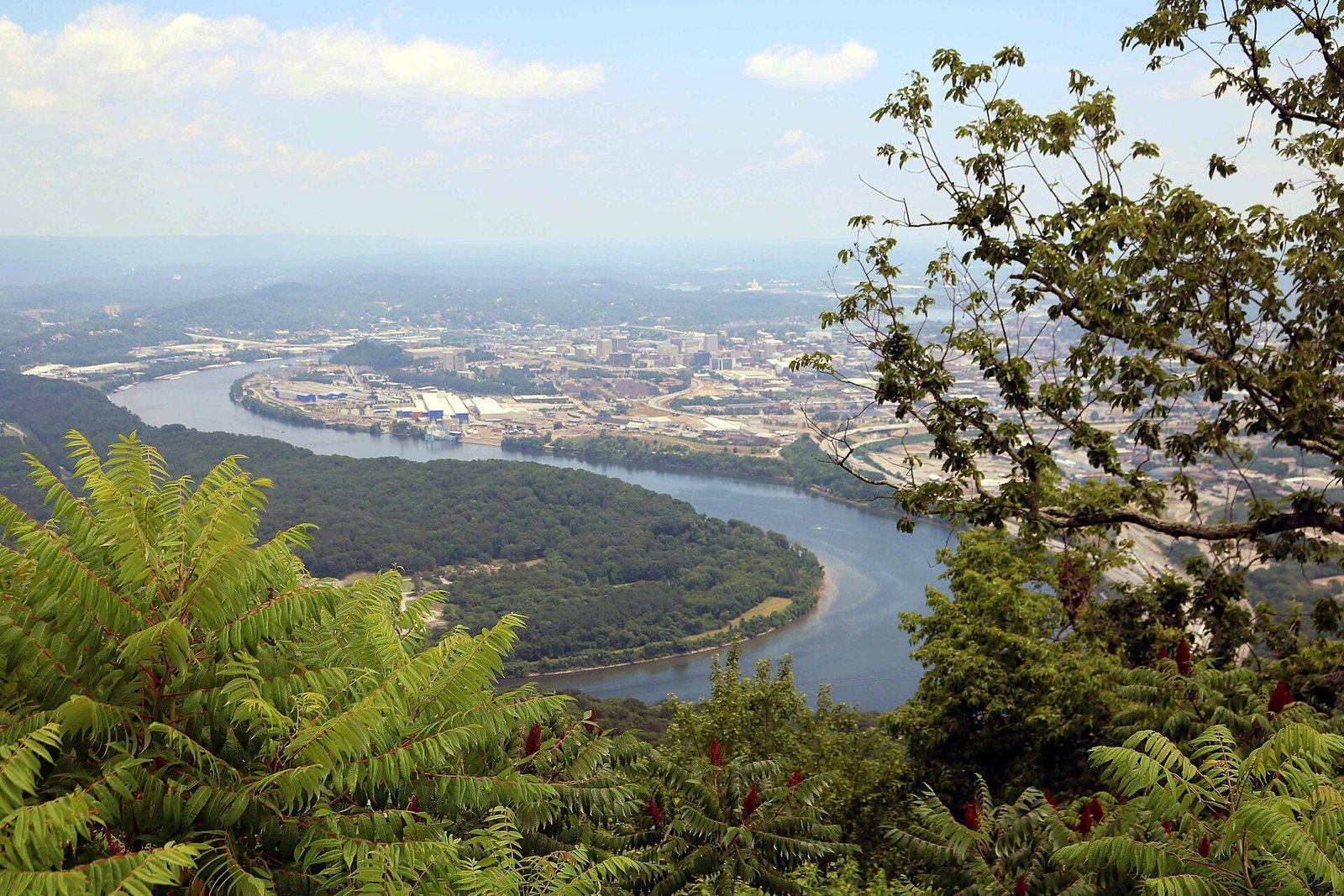
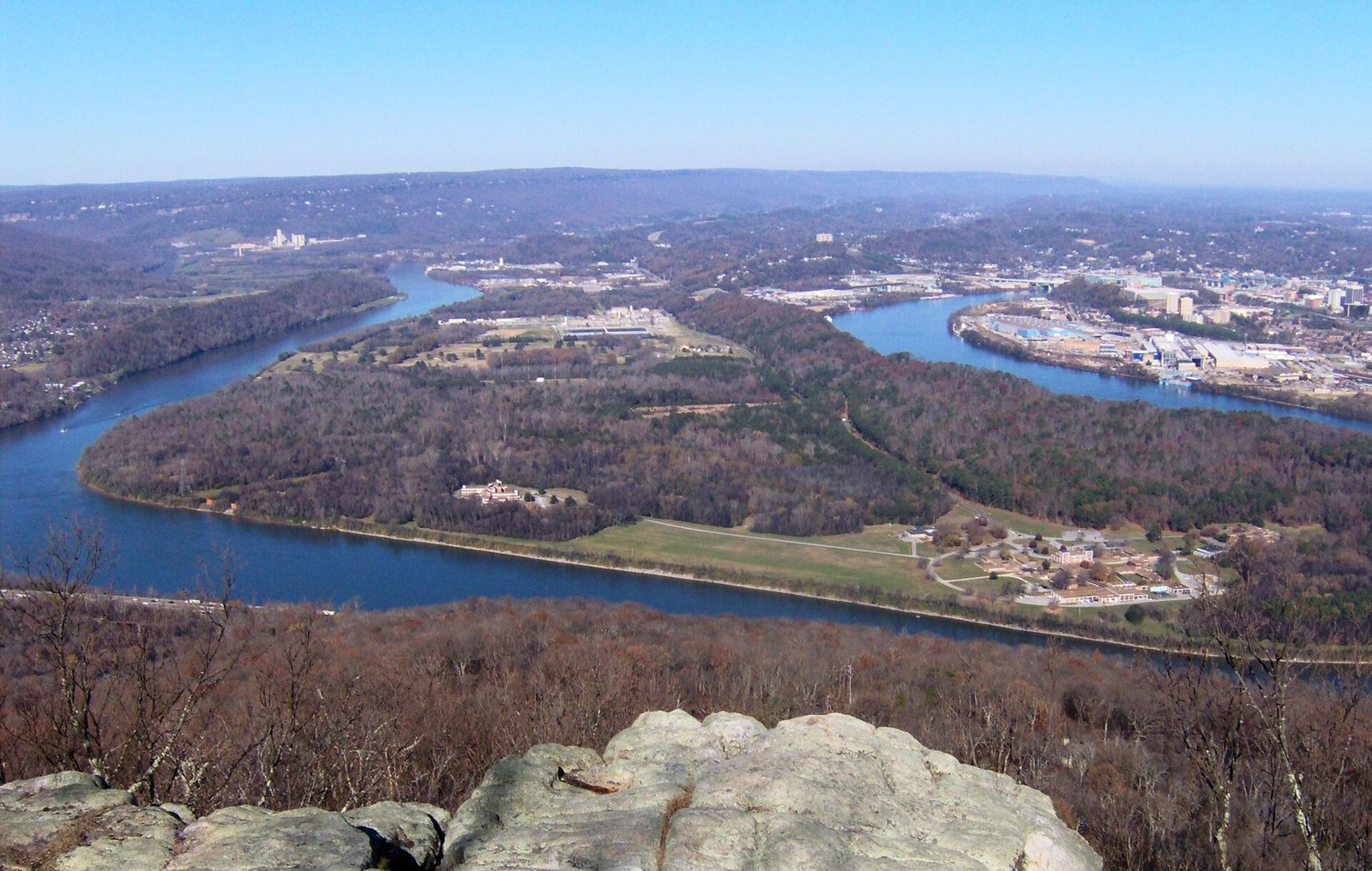
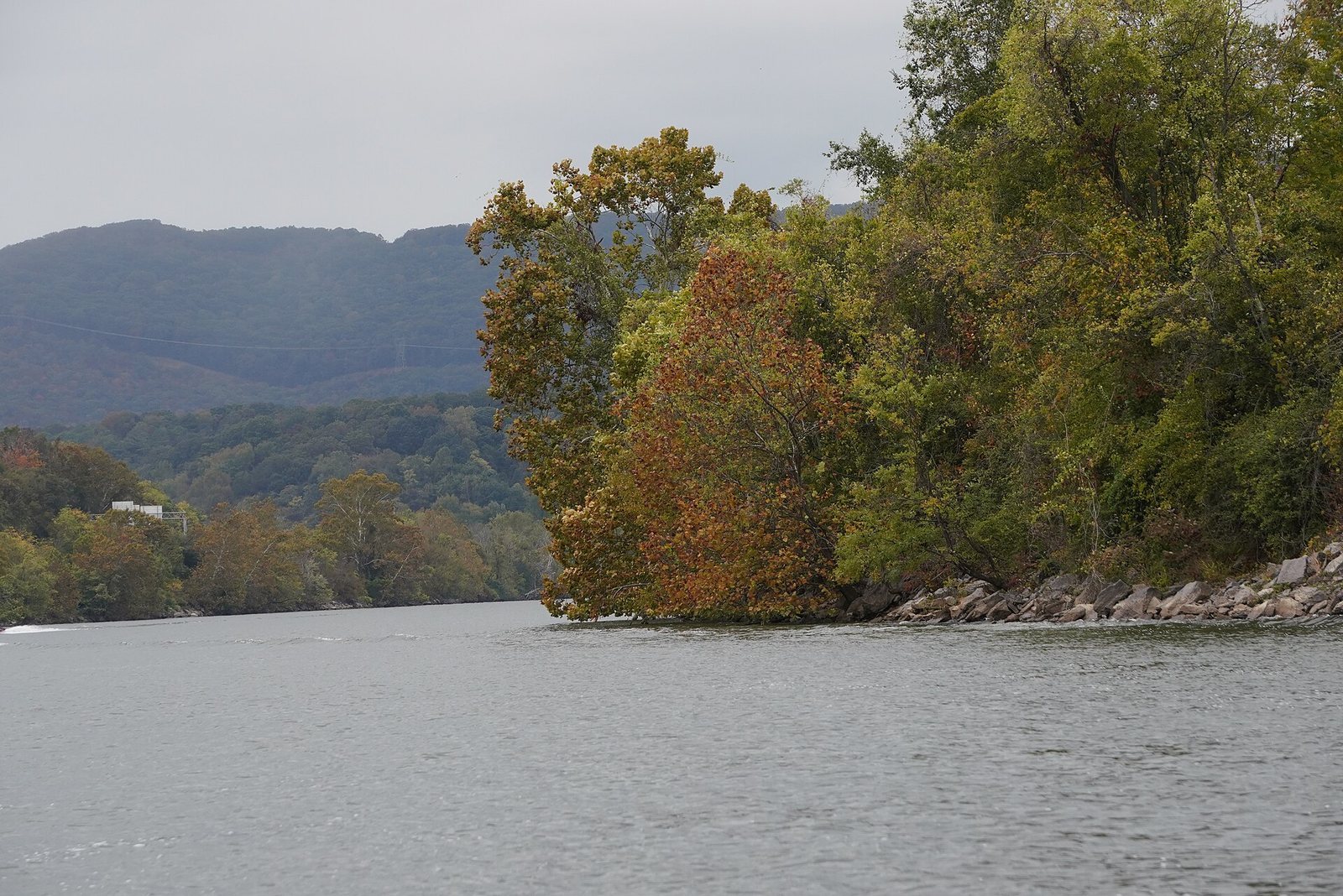
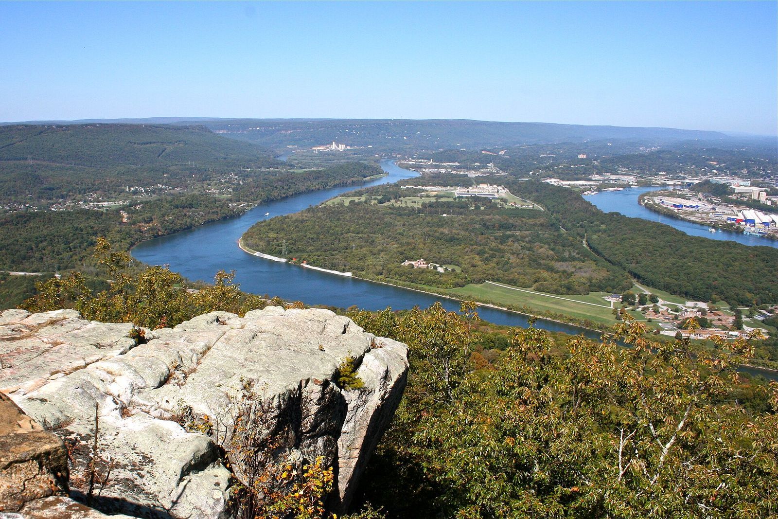
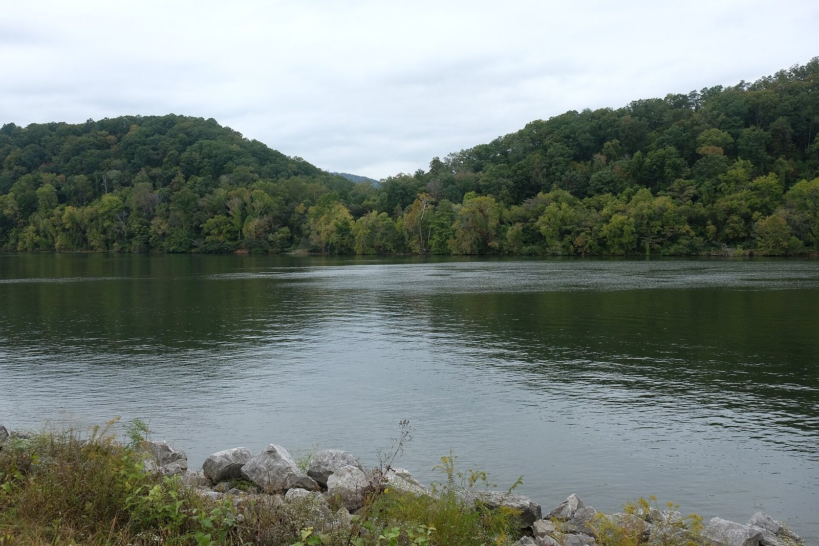
Moccasin Bend is an archaeological district on a peninsula of the Tennessee River in Chattanooga, Tennessee, United States, with evidence of human habitation reaching back about 12,000 years. The area’s archaeological record reflects many Indigenous communities and later encounters, conflict, and efforts to preserve the land.
Indigenous settlement and European contact
People used Moccasin Bend during the Paleo-Indian period, an archaeological classification for a broad cultural era, between 10,500 and 8,000 BCE. They lived as mobile hunter-gatherers. During the Woodland period, from 700 BCE to 1000 CE, Indigenous communities widely adopted bow-and-arrow hunting and pottery, and people left Woodland-period artifacts at the Bend. In the Mississippian period, from 1000 to 1630 CE, American Indian communities lived in large villages amid cornfields and other farmland.
Hernando de Soto, a Spanish explorer and military leader, led an expedition through the region in 1540. Contact with European explorers and traders had destructive consequences for American Indian populations. French and British trading networks brought firearms and encouraged hide hunting for commerce. Cherokee people made comparatively light use of Moccasin Bend.
The U.S. Federal Road, possibly built in 1805, linked Georgia and Tennessee across Cherokee territory. By 1838, Moccasin Bend lay outside the Cherokee Nation, but two groups of Cherokee people crossed it during the Trail of Tears, the U.S. government’s forced removal of Cherokee and other Indigenous nations from their homelands, particularly during the 1830s.
Civil War and postwar land
Moccasin Bend figured in the Civil War. In 1863, Union forces occupied positions at the southern end of Stringers Ridge, and Brown’s Ferry was the site of a historic battle. John Brown, the ferry’s operator, maintained his homestead on the Bend.
After the war, some displaced farmers returned to work the land. Parcels were divided and sold to farmers and other individuals. A proposal made in 1898 to cut a canal across the Bend was abandoned because its projected cost was too high.
Archaeology and public preservation
Archaeological investigations in the early twentieth century uncovered burial mounds and other artifacts. Later, dredging near the future site of Chattanooga State Technical College brought additional evidence of long-term American Indian settlement to light.
Before World War II, residents of Lookout Mountain petitioned Chattanooga to acquire the Bend for a public park. The Great Depression and the war delayed the effort. In 1944, the Chattanooga Chamber of Commerce established the Moccasin Bend Memorial Park Association to promote a park honoring military service members. Governor Browning approved the plan in 1951, but his successor removed the acquisition funds from the state budget.
The Moccasin Bend Association formed in 1957 as industrial development put pressure on the area. A National Park Service superintendent proposed federal acquisition, while the agency regarded industrial development as a threat to the Bend’s scenic and recreational value. In 1960, Chattanooga and Hamilton County acquired a large portion of the land, placing almost all of the Bend under public control.
The Moccasin Bend Mental Health Institute opened in 1961 after about three years of construction, and a golf course was established on the Bend in 1965. That same year, the Moccasin Bend Association renewed its effort to involve the National Park Service. A local park superintendent argued that the area had lost some of its historical importance and natural beauty. Continuing archaeological discoveries also impeded proposed development.
In 1982, the city and county joined the Lyndhurst Foundation in forming the Moccasin Bend Task Force. The Task Force and the Chattanooga Regional Anthropological Association opposed industrial development, although they disagreed over how much excavation should take place. The Task Force eventually sought the return of artifacts recovered at the Bend. The area entered the National Register of Historic Places, the federal register of historically important properties, in 1986 and also holds National Historic Landmark district status, a federal recognition of national importance. The Blue Blazes Trail was established in 1989.
National park district and continuing preservation
Friends of Moccasin Bend National Park formed in 1994 to advocate adding the area to Chickamauga and Chattanooga National Military Park, a National Park Service site commemorating Civil War battlefields and military history in the region. The group built community support, contacted state representatives, and commissioned an economic-impact study that concluded park inclusion would benefit Chattanooga.
U.S. Representative Zach Wamp introduced legislation in 2001 to create the Moccasin Bend National Archeological District as part of the military park. The bill passed in 2003, and the district was formally established in 2004 after state and local governments transferred 672 acres of public land to the federal government. An archaeological district is a defined area recognized for its archaeological resources. The new district was the National Park Service’s first and only National Archeological District. Existing facilities, including the mental health institute, golf course, WDEF radio tower, county firing range, and model-airplane facility, were excluded from its boundaries.
After the district became part of the National Park Service’s long-term management plan, Friends of Moccasin Bend merged with the military park’s existing Friends group. In 2018, the combined organization took the name National Park Partners: Chickamauga-Chattanooga-Moccasin Bend. It supported planning and fundraising for an interpretive center on Hamm Road. The National Park Service and community partners also began surveying the landscape, investigating archaeological sites, stabilizing vulnerable areas, and considering park development.
In 2023, Tennessee announced plans to use funding from the CARES Act, a federal economic-relief law enacted in response to the COVID-19 pandemic, for a replacement mental health hospital on Moccasin Bend. Because the proposed construction would fall within the National Historic Landmark boundary, it prompted opposition. National Park Partners began a further preservation campaign.
Remains
The archaeological district covers 956 acres on a peninsula of the Tennessee River directly opposite Lookout Mountain. The broader peninsula is about 1,000 acres. The district’s core lies at the southern tip, while its separate tracts and the presence of facilities outside its boundaries give it a fragmented layout.
Archaeological sites and finds
Hampton Place
Hampton Place contains two towns dating to the Late Mississippian period. Spanish artifacts from the site have been interpreted as possible evidence that Spanish explorers visited the area.
Mallards Dozen Site
Mallards Dozen contains remains of a Middle Woodland community. Portions of the site are accessible from the Blue Blazes Trail.
Vulcan Site
The Vulcan Site contains remains from the Archaic and Woodland periods. They include a Late Archaic house dated to 1335 BCE, considered one of the earliest family houses in the southeastern United States. Part of the archaeological site lies within the golf course.
Woodland Mound Complex
At the Bend’s southern tip, the Woodland Mound Complex lies within the mental health institute’s property. Its mounds are associated with Late Woodland burial practices, and access is limited by the facility’s security.
Paleo-Indian projectile points
Projectile points, tips attached to hunting weapons, include fluted forms with grooves near their bases, partly fluted examples, and unfluted lanceolate points, which are leaf-shaped. Multiple Paleo-Indian points were found near the Blue Blazes Trail.
Historic land and trails
Brown’s Ferry Federal Road tract
This 98-acre tract includes the former Moccasin Bend Speedway and parts of the John Brown Reservation. A 1.2-mile round-trip walking route crosses part of the tract.
Blue Blazes Trail
The 1.5-mile trail runs through low-lying wetlands and includes numerous muddy stretches. Archaeologically important areas lie nearby.
Hamm Road meadow
A 10.5-acre meadow on Hamm Road is surrounded by industrial land and separated from other National Park Service property.
Facilities and later land uses
Mental health institute
The institute has five buildings, most designed by Chattanooga architect Mario Bianculli, who was associated with modernist design. A federal easement, a legal right affecting land without transferring its ownership, covers some of the property along the riverbank.
Golf course and wastewater treatment facility
The golf course covers about 160 acres, south of the wastewater treatment facility and north of the Blue Blazes Trail. A National Park Service shoreline easement follows its western edge. Course construction altered the land, and erosion is evident in some areas.
The nearby wastewater treatment facility occupies 184 acres and was developed in 1961.
Training range and surrounding properties
The county law-enforcement training range on Moccasin Bend Road includes buildings and other structures. It lies within a 750-acre area of land donated by the city to the National Park Service. A private residence and the operating WDEF radio towers are also surrounded by National Park Service-owned land.