Lyakhova Mohyla Burial Mounds: A Bronze Age Burial-Mound Group in Ukraine
Site at a Glance
- Popularity
- Very Low
- Country
- Ukraine
- Primary era
- Bronze Age
- Eras represented
- Bronze Age
- Civilizations
- Unclassified
- Site type
- Burial
- Remains
- Necropolis
On this page13 sections
History
The Lyakhova Mohyla Burial Mounds are a group of eight burial mounds on a high plateau in Dnipropetrovsk Oblast, Ukraine. The principal mound, Lyakhova Mohyla, dates to the Bronze Age, a prehistoric period when people used bronze tools and objects.
The name may derive from the surname or nickname of Andrii Liakh, a Cossack from the military and social communities prominent in parts of Eastern Europe. His winter settlement, a seasonal homestead or encampment, stood in what is now the southwestern outskirts of Kryvyi Rih’s Central City district. In the nineteenth century, landowner Knorring, whose property included the mounds, tried to investigate Lyakhova Mohyla. Archaeologist O. O. Melnyk discovered the mound in 1983, and an expedition from the Kryvyi Rih History and Local Lore Museum excavated Mound 2 in 2006.
Remains
Layout and setting
The eight mounds form an east-to-west chain extending 250 metres across a high plateau on the right bank of the Inhulets River, at its first watershed. The group lies south of the Karachunivske Reservoir, and the Hirka sanctuary is 120 metres east of Lyakhova Mohyla. The mounds range from the large principal feature to low, partly indistinct rises.
Lyakhova Mohyla
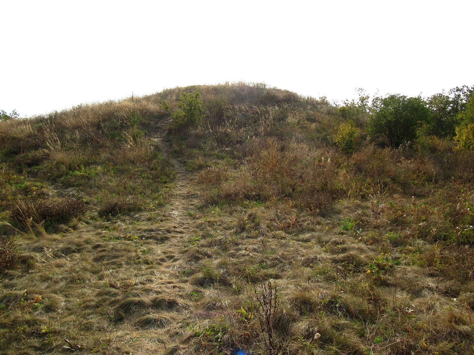
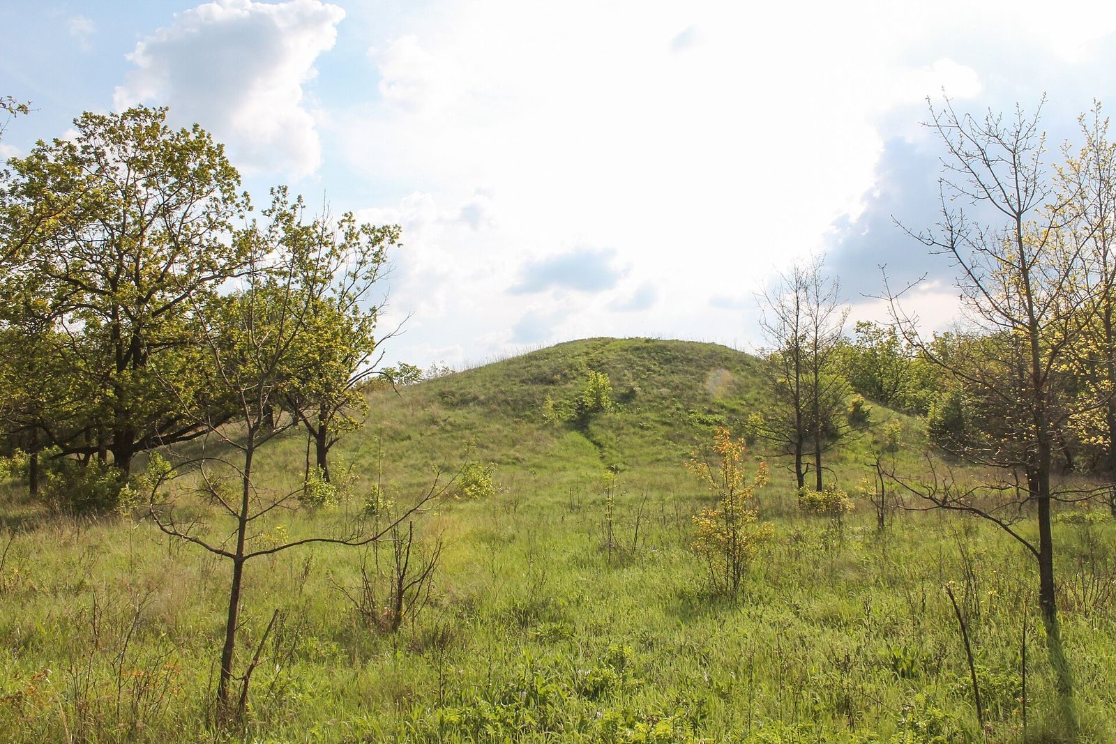
Lyakhova Mohyla is 8.3 metres high and 162 metres across. Its northern slope is steeper than its southern one. The summit has been flattened and contains a rectangular pit, 1.7 by 1.5 metres and 0.9 metres deep, left by a triangulation point, a surveyed marker used to establish positions. Other traces on the upper mound are of filled-in pits from modern digging, up to 1 metre deep and 2 to 2.5 metres across. Turf covers the mound, with scattered trees on its southern, eastern, and western slopes.
In the late nineteenth century, V. Yaroshevskyi gave its circumference as 207 sazhen, its diameter as 56 sazhen, and its height as 5 to 6 sazhen, approximately 11 to 12 metres. A sazhen was an old Russian unit of length measuring about 2.13 metres.
Other mounds
Mound 1
Mound 1 lies 25 metres west of Lyakhova Mohyla. It is 2.4 metres high and irregularly oval, measuring 28 by 26 metres, with its long axis running north to south. A central modern pit is 5.5 by 3.5 metres and up to 1.5 metres deep. Trees and turf cover the mound, and a field track runs along its eastern slope. Wooden structures on the mound include a wall made from round tree trunks.
Mound 2
Mound 2 is 25 metres southwest of Mound 1 and 0.6 metres high. Its excavation exposed two Bronze Age burials and one Cimmerian burial. The Cimmerians were an ancient people associated with the Eurasian steppe.
Mound 3
Mound 3 lies 20 metres south of Mound 2 and 30 metres west of Mound 1. It rises no more than 0.3 metres. A modern trench in its northwestern part measures 3 by 0.8 metres and is 0.7 metres deep; pieces of stone were present in the spoil heaps.
Mound 4
Mound 4 is 40 metres west of Mound 3 and 60 metres west of Mound 1. It is up to 0.3 metres high and covered with trees.
Mound 5
Mound 5 lies 20 metres southwest of Mound 4 and 90 metres southwest of Mound 1. It is up to 0.3 metres high, tree-covered, and indistinct in form.
Mound 6
Mound 6 stands 30 metres east of Lyakhova Mohyla and 90 metres southwest of the Hirka sanctuary. It is 0.3 metres high.
Mound 7
Mound 7 is up to 0.2 metres high and covered with trees. It lies 50 metres north-northeast of the sanctuary’s raised defensive earthwork.
Mound 8
Mound 8 is 80 metres northeast of the eastern section of the sanctuary’s raised defensive earthwork. It is 0.6 metres high and 25 metres in diameter, with a surface covered by turf and trees.