Kyrylivska Fortress: A Dnieper Line Stronghold in Ukraine
Site at a Glance
- Popularity
- Very Low
- Country
- Ukraine
- Primary era
- Early Modern
- Eras represented
- Early Modern
- Civilizations
- Russian
- Site type
- Military
- Remains
- Fort
On this page9 sections
History
Kyrylivska Fortress was an eighteenth-century stronghold of the Dnieper Line, a system of fortifications, near present-day Semenivka in Ukraine. Construction began in 1770 and was completed in 1775, and the fortress was disbanded in 1791. It was named for Kirill Razumovsky, the last hetman of Ukraine; a hetman was a senior political and military leader in Cossack communities.
Construction and strategic purpose
The fortress was built near the upper reaches of the Tokmachka River. Its initial plan called for a large intermediate stronghold with four citadels, or central fortified areas. The design was simplified after the Crimean Khanate, a state ruled by Crimean Tatar khans, and southern Ukraine became part of the Russian Empire. As the Tatar threat receded, the original scale of the project was no longer pursued.
Church, disbandment, and settlement
A field church opened inside the fortress in 1782, after being transferred from Matviivka in the Yekaterinoslav Governorate. Following the Crimean Khanate’s incorporation into the Russian Empire in 1783, the Dnieper Line lost its military-strategic importance, and Kyrylivska Fortress was disbanded in 1791.
By the end of the eighteenth century, houses, warehouses, and a brickworks had been established beside the former fortress. This settlement became Semenivka, which had 50 residents by 1793. During the fortress’s establishment, the Russian government also settled retired soldiers in the nearby new village of Kinski Rozdory. The fortress appears on Semenivka’s coat of arms.
Remains
The fortress covered 2,980 desiatinas, a historical Russian unit of land area. Its defenses combined an earthwork perimeter with a central fortified area, while stone buildings and underground facilities served the garrison.
Defensive layout and structures
Earthworks and outer defenses
An earth embankment, originally 10 to 14 metres high, enclosed the fortress on every side. An outer ditch and a large ravelin, an outwork forming part of a fortress’s defenses, reinforced it on the river side. The fortress front faced the Sea of Azov and Gray Mound, now called Blue Mountain. Attacks by Tatars and Turks were expected from that direction, and the mound served as a fortified observation post.
Citadel and buildings
One citadel was built. The commandant and officers occupied stone houses, while soldiers lived in stone barracks.
Underground works
Underground structures provided storage for weapons, gunpowder, and food, and the fortress also had underground wells. Several passages led beyond the defenses. The southern passage reached the river, while a concealed northern passage was intended as an escape route.
Surviving ramparts
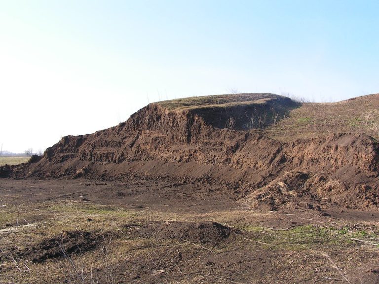
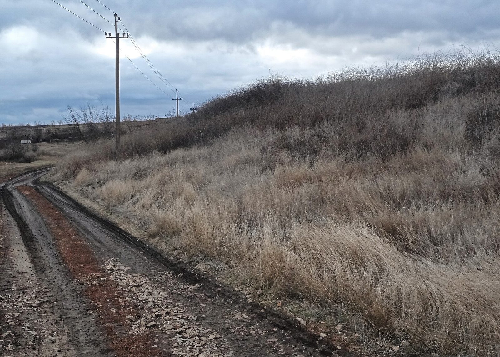
When the Tokmachka carried more water several decades ago, four bastions, projecting defensive works, remained and the fortress plan resembled an X. The surviving ramparts now rise 3 to 6 metres and form an irregular trapezoid, with the end of the southwestern bastion also surviving. Turf covers the ramparts.